Ben Tyler Trail Colorado Hike Trail Guide
The Ben Tyler trail is an out and back hike located just outside of Bailey, Colorado in the Lost Creek Wilderness. This hike offers beautiful views year round but is most popular during the summer and fall months. This hike is suitable for hikers of all levels and is a good option for those looking for a short backpacking trip as well. The Ben Tyler trail is a good starting point for some much bigger link-ups in the Lost Creek Wilderness. Although the views at the end can be tricky to find, if you do – they are worth it.
Ben Tyler Trail Quick Facts
Virtual Trail Guide : Ben Tyler Trail
Ben Tyler Trail Rating: ★★ (2/5 Stars)
Distance: 12.9 Miles RT
Elevation Start: 8,249 ft
Highest Point: 11,700 ft
Total Elevation Gain: 3,402 ft
Estimated Time to Complete: 4-7 Hours RT
Difficulty: Moderate to Difficult What does this mean?
Class: Class 1
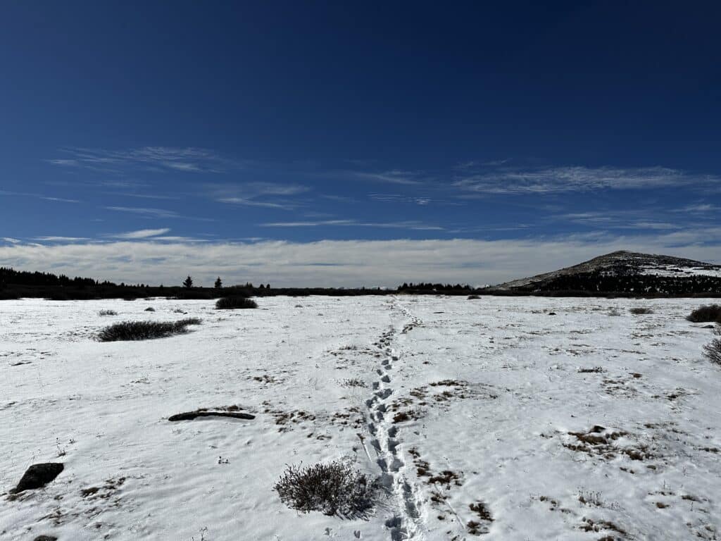
Season: November – May Expect snow outside of this period. Snow will make getting to the top view point much harder.
Directions to Ben Tyler Trail
Trailhead: Ben Tyler or Rolling Creek
Getting Here: The most common way to start this hike is from the Ben Tyler TH off 285 in Bailey, Colorado. However, I will provide instructions for both:
To Ben Tyler TH
Take 285 through Bailey, Colorado and drive for about 6.7 miles to reach the trailhead on your left.If you arrive in Grant, Colorado you have driven too far.
To Rolling Creek
Take 285 to Bailey and turn left on Wellington Lake Road. Contine on this road (which eventually turns to dirt) for 8 miles to reach the trailhead entrance on the right. In snowy months, you can park here as this is where the segment ends. If you are starting the hike for segment 4 and can drive further, continue up .3 miles to reach the start of the trail. You can enter Rolling Creek TH into your favorite navigational device.
Fees: None
Parking: Both sides have small parking lots with no bathrooms. The main (Ben Tyler) trailhead will fill up on most weekends, especially during the spring, summer and fall months.
Summary
Camping: The Ben Tyler trail does offer dispersed camping, so long as you have entered the Lost Creek Wilderness. Most good camping spots can not be found until you are a few miles into the hike. Alternatively, if you do start from the Rolling Creek TH, there are camping options near the TH itself.
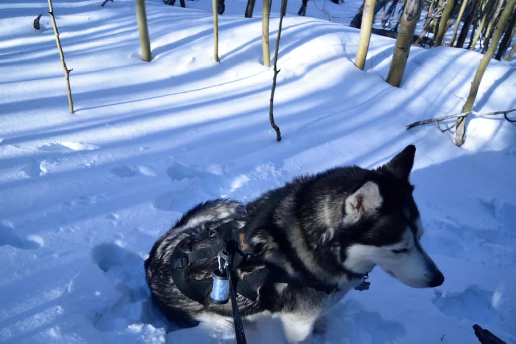
Dogs: The Ben Tyler trail is dog friendly and requires dogs to be on a leash since you are hiking in a Wilderness Area. As always, please pick up after your dog on this hike. The trail can get busy with other dogs during peak season.
Make it a Loop: The Ben Tyler trail is an out and back hike with options to extend your hiking on the Colorado Trail Segment 4 or Craig Park Trail if you would like.
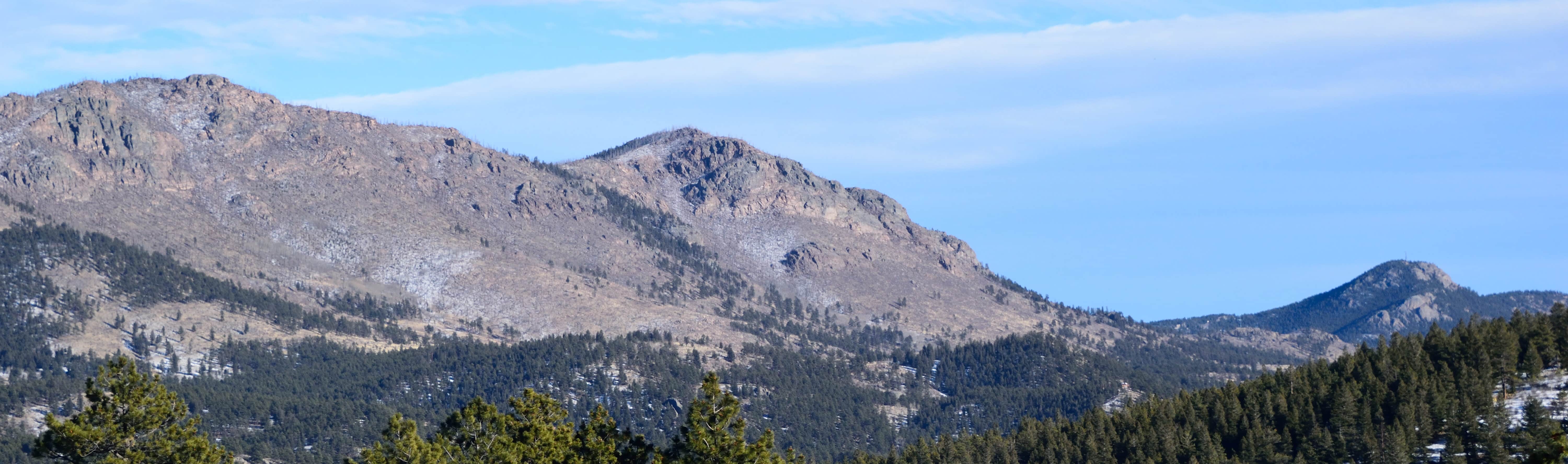
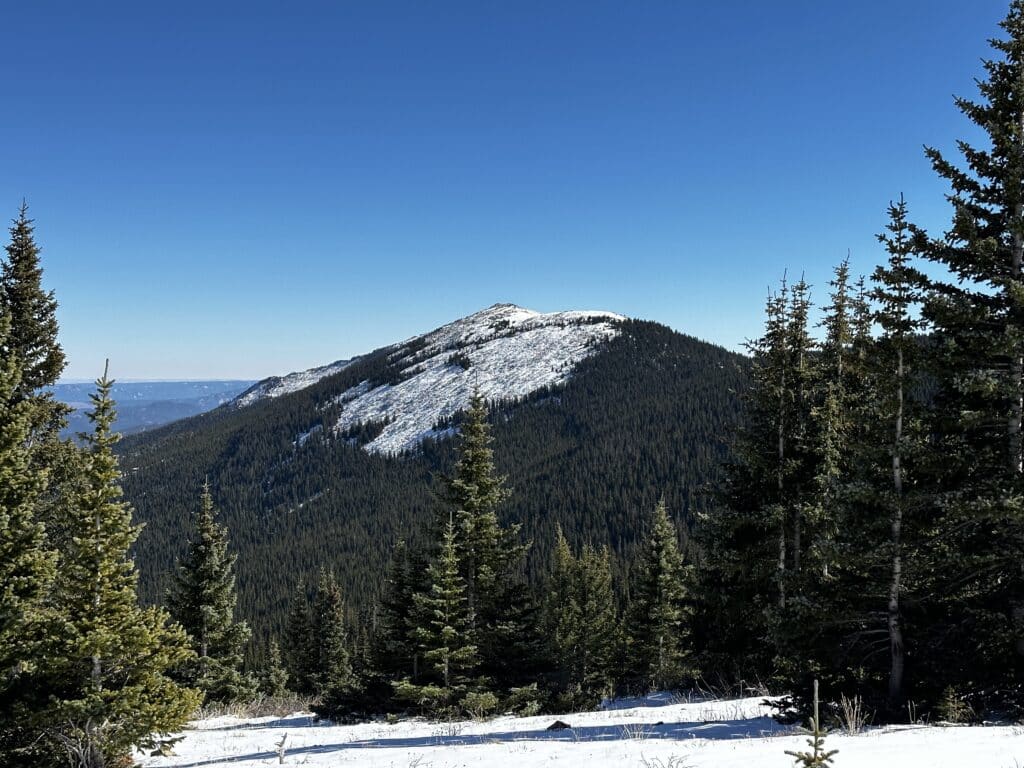
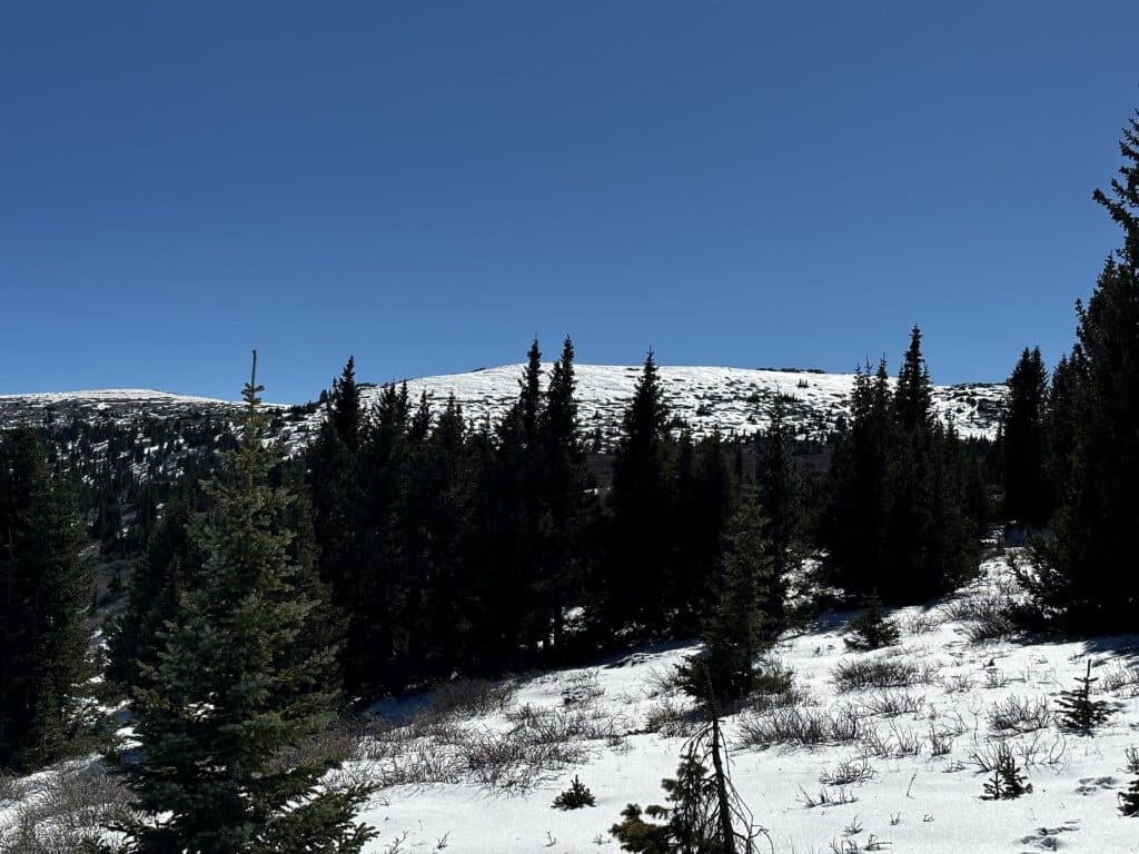
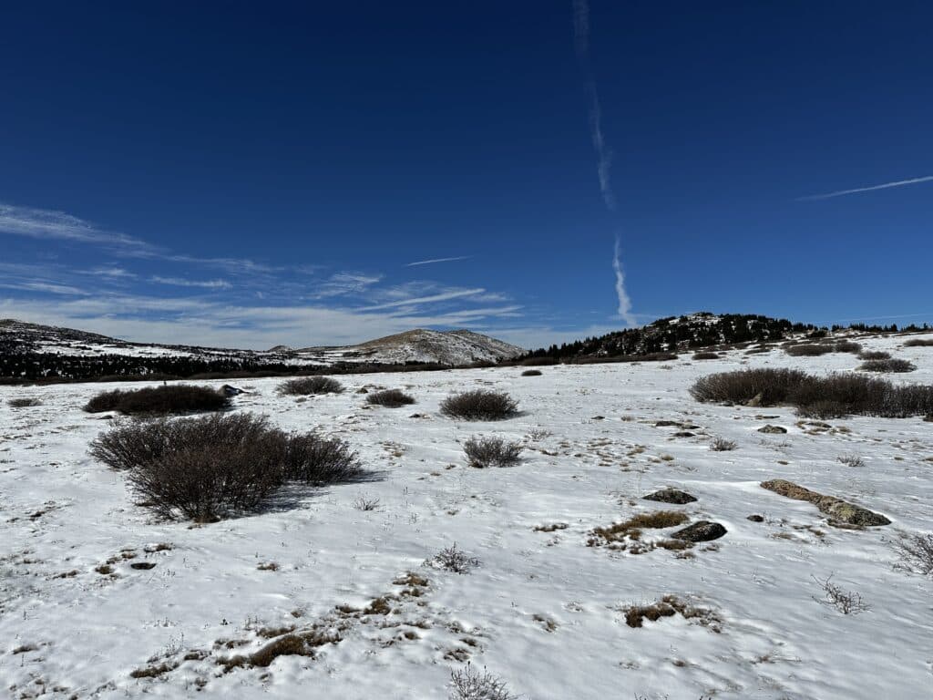
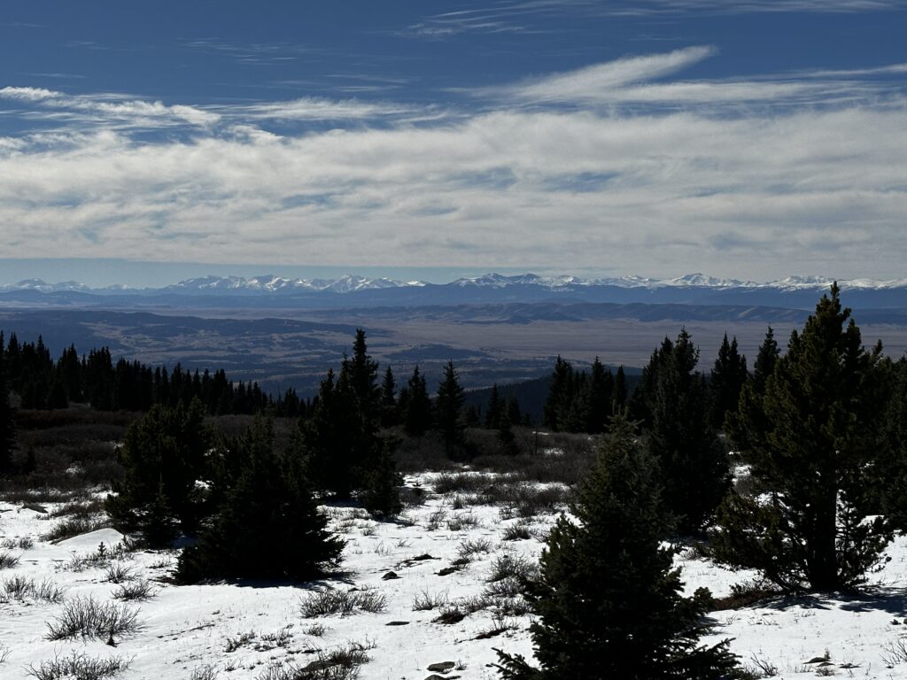
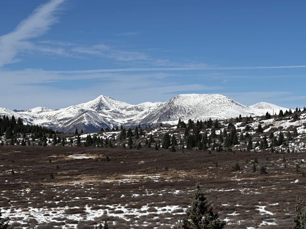
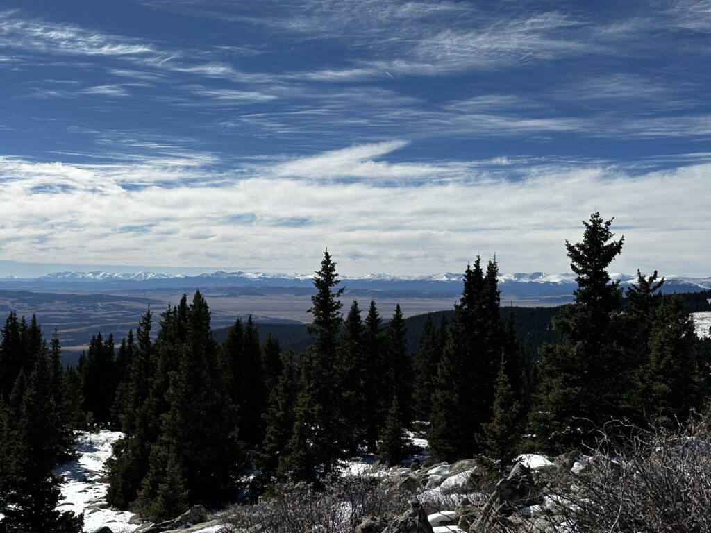
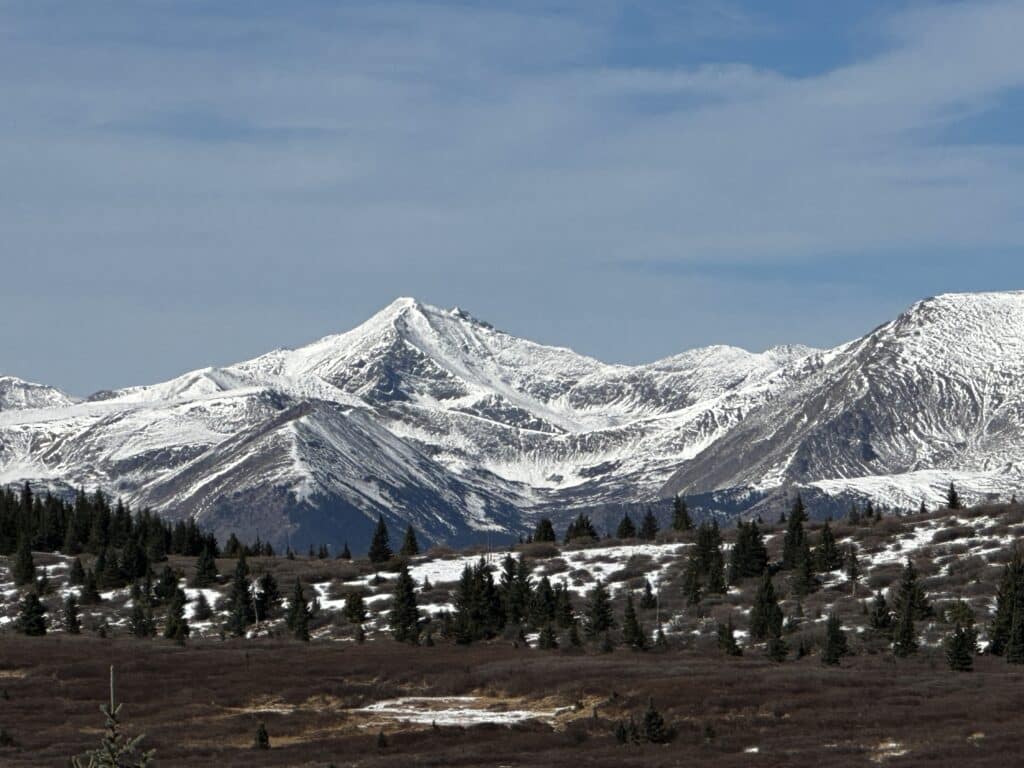
Trail X Factors: Finding the actual end point and views on the Ben Tyler Trail can be quite taxing. For 90% of the hike (from the 285 side) you are working up a valley with no views at all. Suddenly, when emerging from the trees you will find awesome views of most of the Tenmile and Mosquito Ranges.
Hike Tip(s):
- If you plan on hiking this trail during the summer or fall months on a weekend, be sure to get to the trailhead very early or later in the day for your best chance of securing a parking spot. Since the lot is very small and parking along 285 is limited, there really are not any backup options if parking is full.
- This hike can require a bit of effort to find the actual viewpoints. Even after topping out, you need to hike a bit further to get the vest views on this hike. If you want to get the best viewpoints, follow my GPX file below!
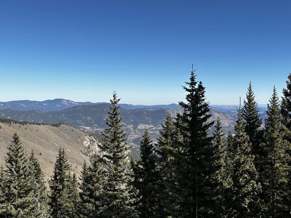
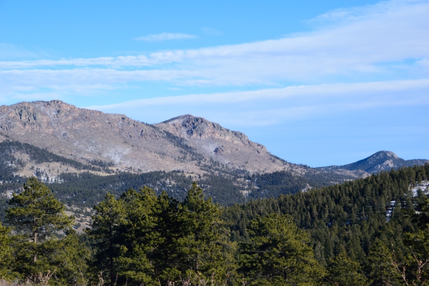
Best Views: This hike offers nice views of the surrounding foothills and mountains about a mile into the hike. In the fall, this hike is phenomenal spot for fall foliage with the best views about 2-3 miles in. Summer also brings beautiful wildflowers along the trail. However, the best views throughout the year are at the top of Ben Tyler Trail where you can get views of 14ers Grays and Torreys Peak and the Mosquito Range plus a lot of the Sawatch Range.
Ben Tyler Trail Hike Route
Gear Needed
- Men’s Trail Runners
- Women’s Trail Runners
- La Sportiva Trango Hiking Boots (Men’s)
- La Sportiva Trango Hiking Boots (Women’s)
- Backpack (Winter)
- Backpack (Summer)
- Food & Water
- Optional: Garmin inReach
- Optional: Hiking Poles – 120CM
- Optional: Headlamp
- Optional: Garmin Fenix Watch
My Trip to Ben Tyler Trail: January 2020
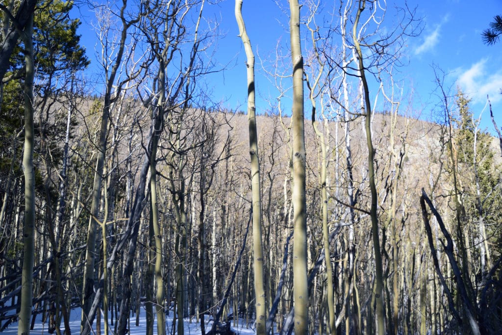
Juno and I wanted to stretch our legs during the winter of 2020 and decided to head over to the Ben Tyler Trail. We initially wanted to hike the entire trail, but waist deep snow stopped us after 3.2 miles of hiking. You can watch our adventure below or check out some pictures from the hike here.
Update 2022: Our new husky, Aria, and I headed back to the Ben Tyler Trail in November of 2022. This time, we were able to get up to the top and find the viewpoints that makes this long hike up worth it.