Colorado Trail Segments 16 & 17 Hike Guide
Colorado Trail Segments 16 & 17 span just over 35 miles of the 485 mile Colorado Trail. These two segments are often hiked together by segment hikers due to limited trail access in between both. Segment 16 of the Colorado trail has moments of beauty and fairly good water sources but Segment 17 is extremely dry and lacks many picturesque views. Both segments can get buggy in late spring and early summer making mosquito repellent a must.
Colorado Trail Segments 16&17 Quick Facts
Virtual Trail Guide: Colorado Trail Segments 16 & 17
Colorado Trail Segments 16 &1 7 Rating: ★★★ (⅗ Stars)
Distance: 35.6 Miles One Way (Seg 16:15.2 Miles, Seg 17:20.4 Miles)
Elevation Start: 10,864ft (16), 11,616ft (17)
High Point: 11,789ft
Total Elevation Gain: 5,994ft
Estimated Time to Complete: 2-3 Days
Difficulty: Difficult What does this mean?
Class: Class 1- What does this mean?
Season: June – November (early spring or Fall is best to avoid hot temps)
Directions to Colorado Trail Segments 16 & 17
Trailhead: Marshall Pass & Lujan Creek Road
Getting Here: Start Trailhead (Marshall Pass): From US 285, take Marshall Pass Rd and continue for about a 2.3 miles. Take a right at the road junction to stay on Marshall Pass Rd. Continue for another mile and take another right. Keep driving for about 10.5 miles until you reach the signed parking area on the left.
End Trailhead (Lujuan Creek Road): From Saguache, take CO 114 west for 30 Miles to North Pass. Start down the otherside of the pass and locate a turn on your right about a mile down. This is Forest Road 785/Lujuan Creek Road. Drive on this for 2.2 miles and locate staying straight/right at all intersections besides the last one right after a cattle guard. Turn left here and drive 200 yards or so to locate the TH here. NOTE: If you park here, you are technically going to be skipping about 2 miles of the Colorado Trail assuming you start at the beginning of Segment 18. If you do not want to do this, simply park on the shoulder of CO Highway 118.
Parking: Marshall Pass has a larger parking lot that can fit 10-15 cars. Lujan Creek Road has access to a smaller parking area, but will not be an issue. If parking on CO Highway 114, this is more of a shoulder of the road parking that can fit 3 cars or so. We parked overnight at both Marshall Pass and CO Highway 114 with no issues at all. Marshall Pass has a non-plumbing bathroom which is extremely rare on the Colorado Trail, so take advantage of it. Both segments should be accessible by all passenger cars and require no additional clearance or AWD/4×4.
Summary
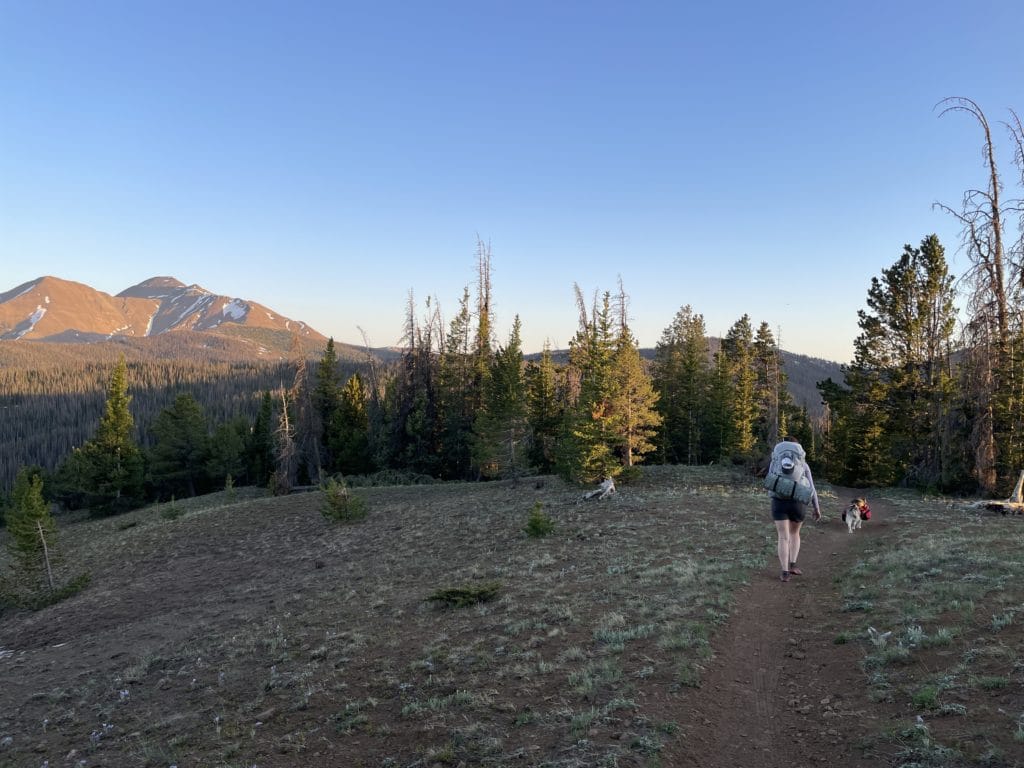
Dogs: Colorado Trail Segments 16 & 17 are both dog friendly, but please be advised that Segment 17 has VERY few water sources, especially in the summer and fall when snowmelt sources have dried out. In addition, Colorado Trail Segment 17 can get VERY hot as well. If you are hiking this in the middle of the summer, pack lots of water and plan your hiking hours accordingly.
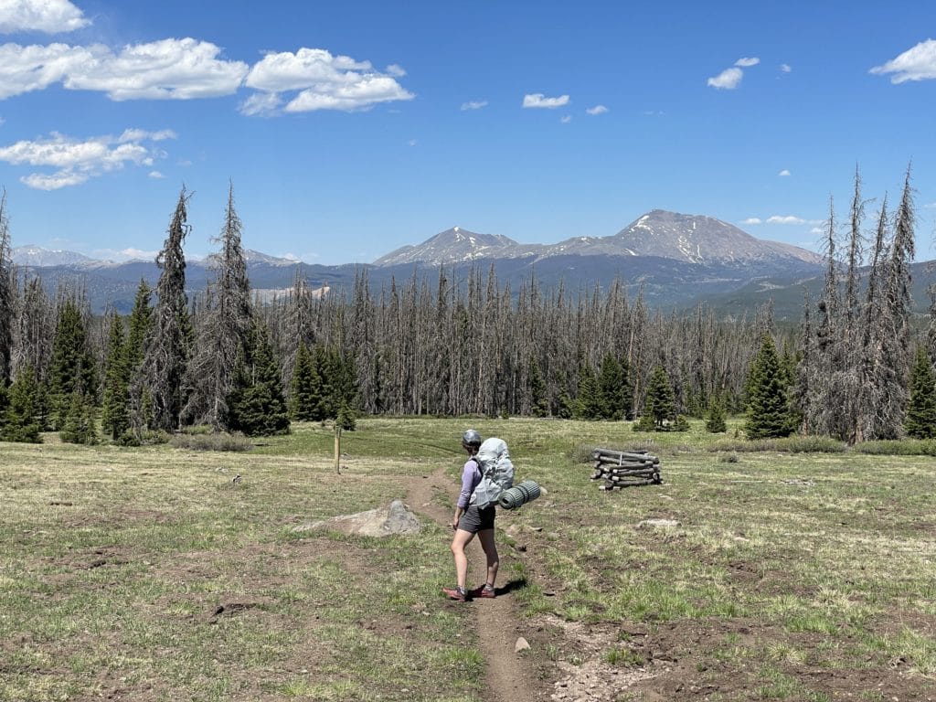
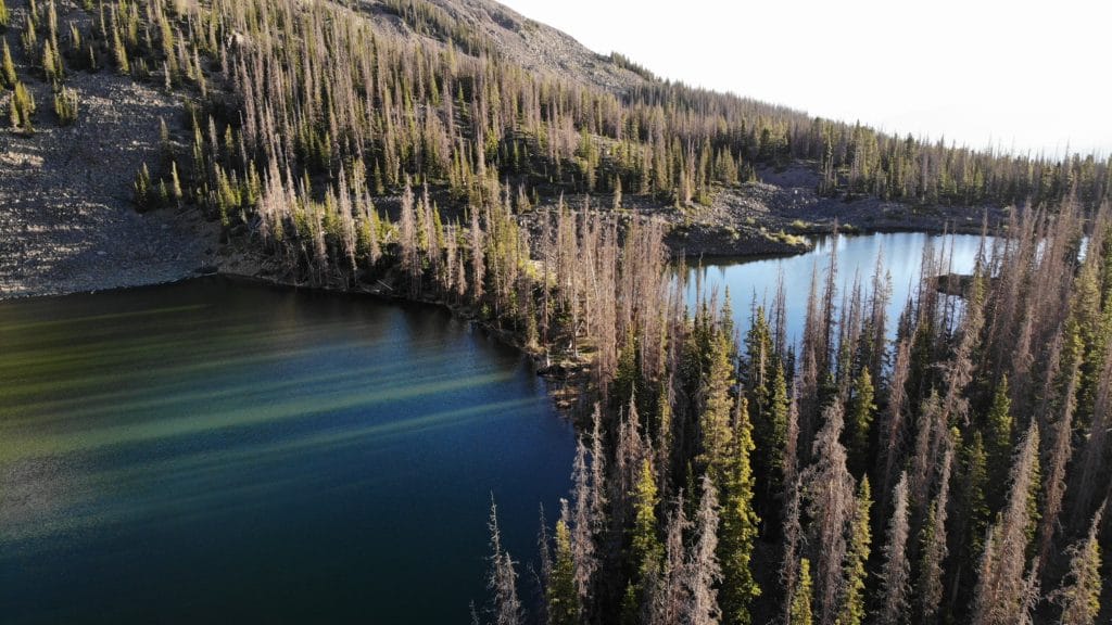
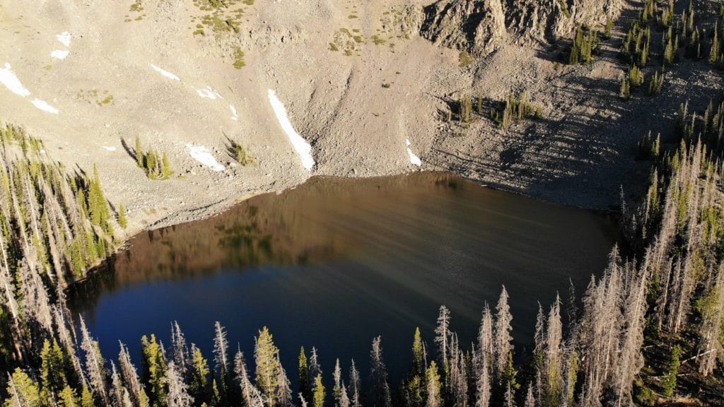
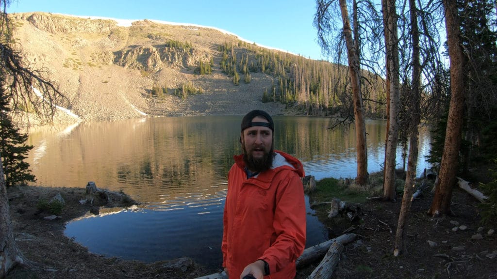
Camping: Overall, both Colorado Trail Segments 16 & 17 have ample camping spots along the way, but the majority of them are dry sites (aka no water nearby). Our favorite spot to camp on the two nights we spent here was at Baldy Lake about ½ mile off the trail but a great water source.
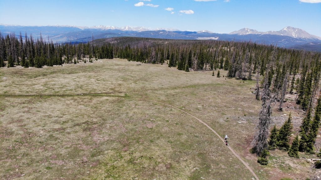
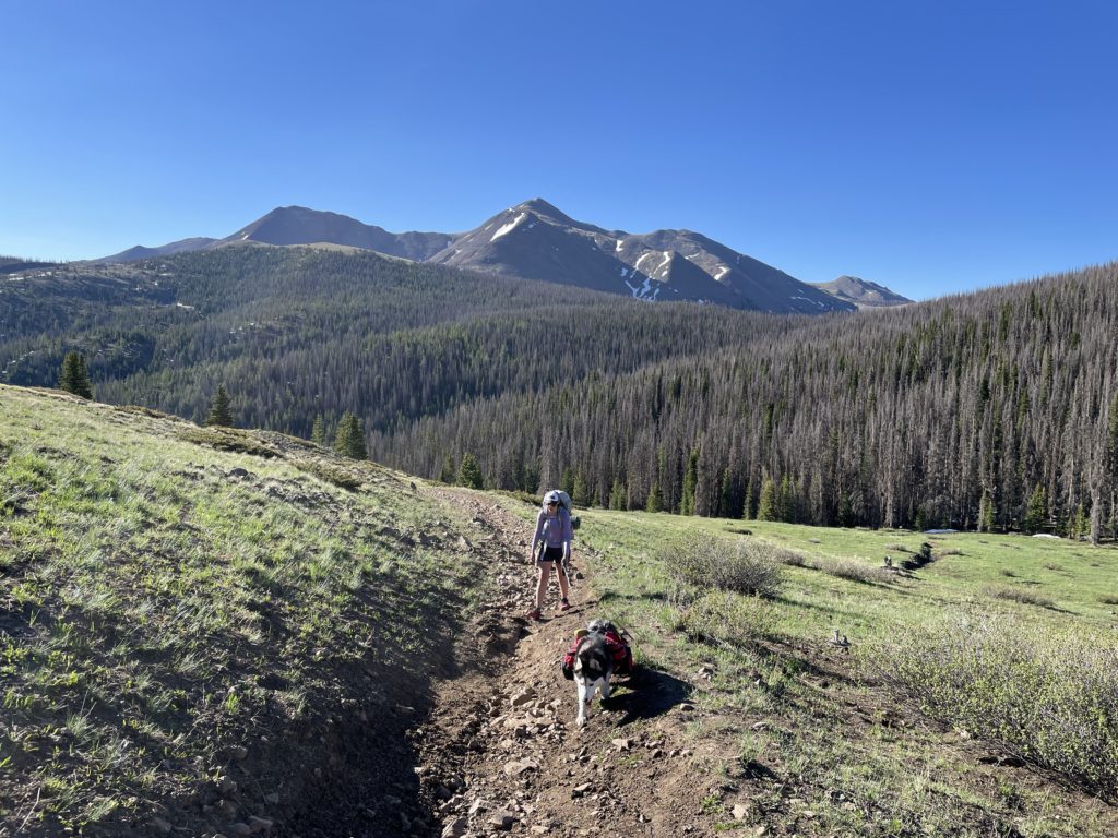
Access to Water: You will read in other places that water access on Colorado Trail Segments 16 & 17 is tough. Those sources are correct. Segment 16 isn’t terrible with a strong water source at mile 4.1 (about .2 miles off the trail down another one) and from Mile 11.6 – 13 or so. However, Colorado Trail Segment 17 is downright awful. Once the handful of seasonal water sources dry out (usually mid July or so) there is one water source on the segment that doesn’t require additional mileage at mile 19.2/34.2 (combining mileage of both segments). If you want to add an additional mile of hiking + 400 feet of elevation gain, Baldy Lake is a fantastic option to camp and pump. This is located at mile 21.9 overall mileage or 6.9 of Segment 17.
Trail X Factors: Water Sources
If you plan on hiking Colorado Trail Segments16 & 17 as a through hike or just as a segment trip in the summer or fall, planning for water is going to be a huge piece of the logistics puzzle. As mentioned above, water on these two segments is scarce and dealing with the heat can make it even worse. To top all of that off, 99% of the hiking on these two segments are above 10,000ft which requires additional water to keep the body hydrated. Add a dog into the mix and you have a real conundrum or a lot of suffering.
Hike Tip(s): I have three tips, one for segment hikers, one for through hikers and one for all hikers of the Colorado Trail.
For Segment Hikers: Save yourself some mileage and SUPER boring hiking and be sure to park at Lujan Creek Road. Sure, you miss the last 2 miles of the segment, but guess what? No one cares and no one will judge you. If they do? Screw em. Seriously though, it’s literally hiking on a forest road and there is absolutely no reason to not drive your car up to the top of it.
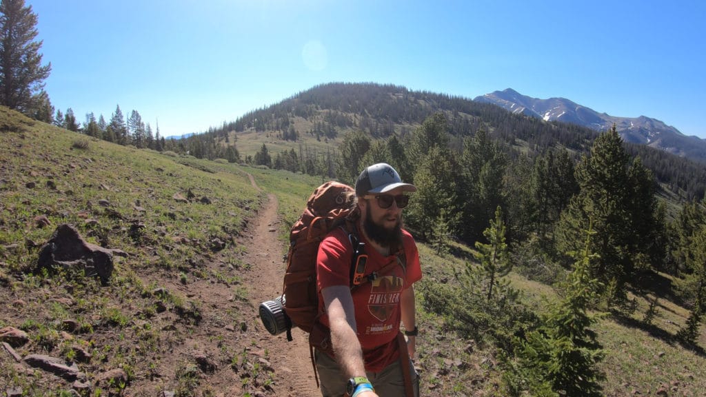
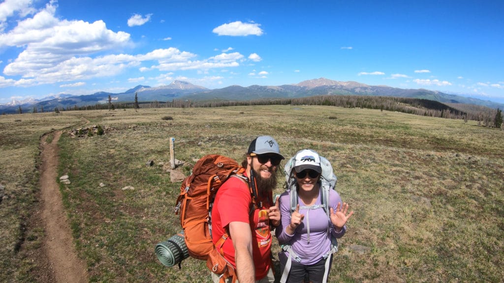
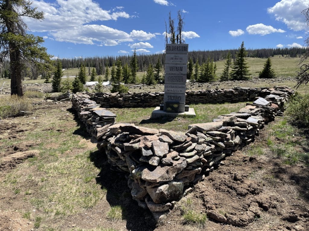
For Through Hikers: I know that your legs are probably tired, but do yourself a favor and add on the short side trip to the Soldierstone at the end of Segment 16. This short detour provides an outstanding spot to rest and also soak in some amazing views of this extremely unique monument. You can read an excellent summary about this monument here.
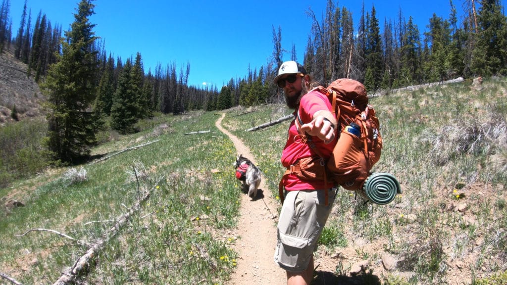
For Everyone: Bring bug spray. These two segments (especially 17) were LOADED with mosquitoes for us. It was “ruin your day” level of bugs and they did not quit. For miles and miles we walked with these bloodsucking insects and of course forgot our bug spray at home to save weight. Don’t do that.
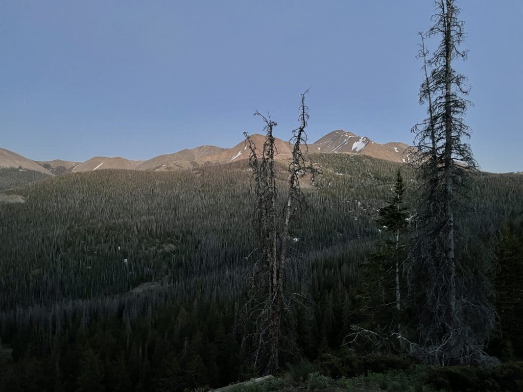
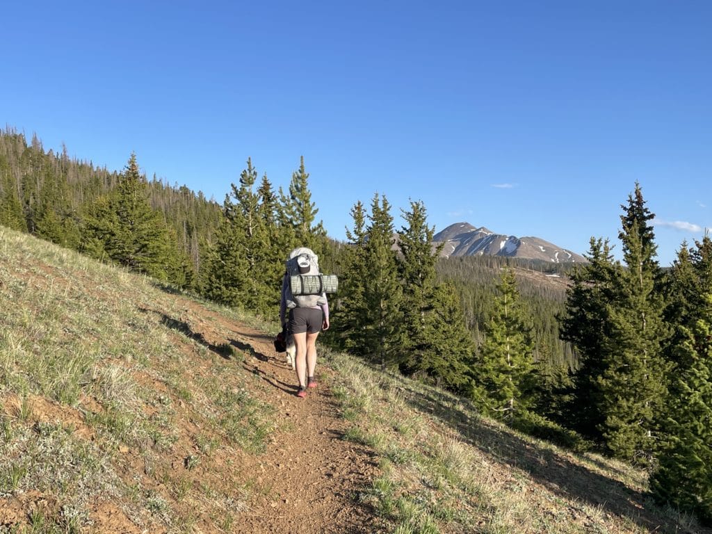
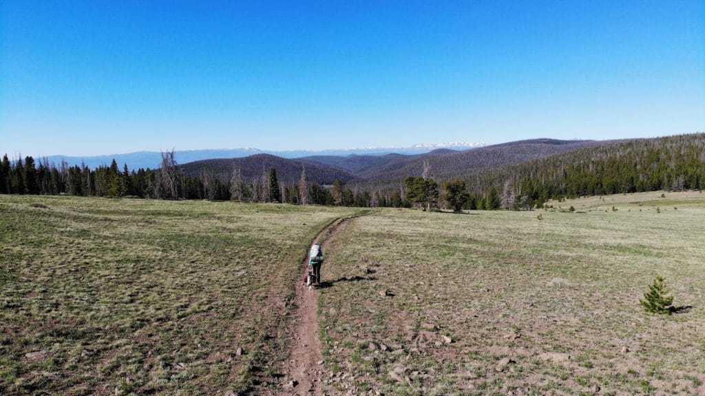
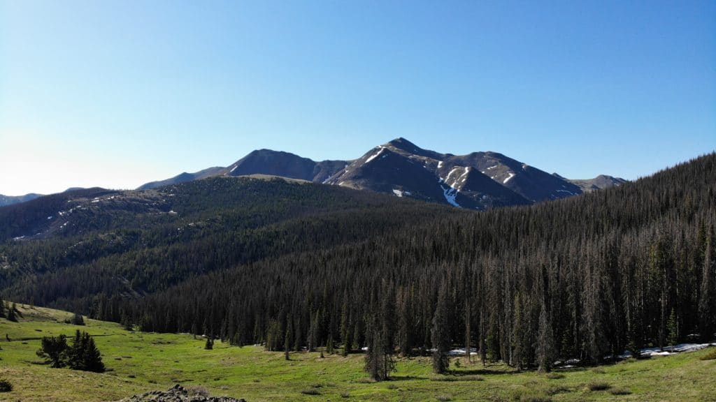
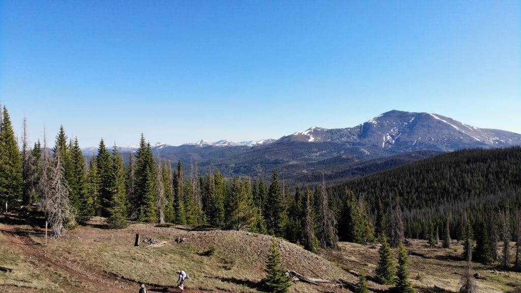
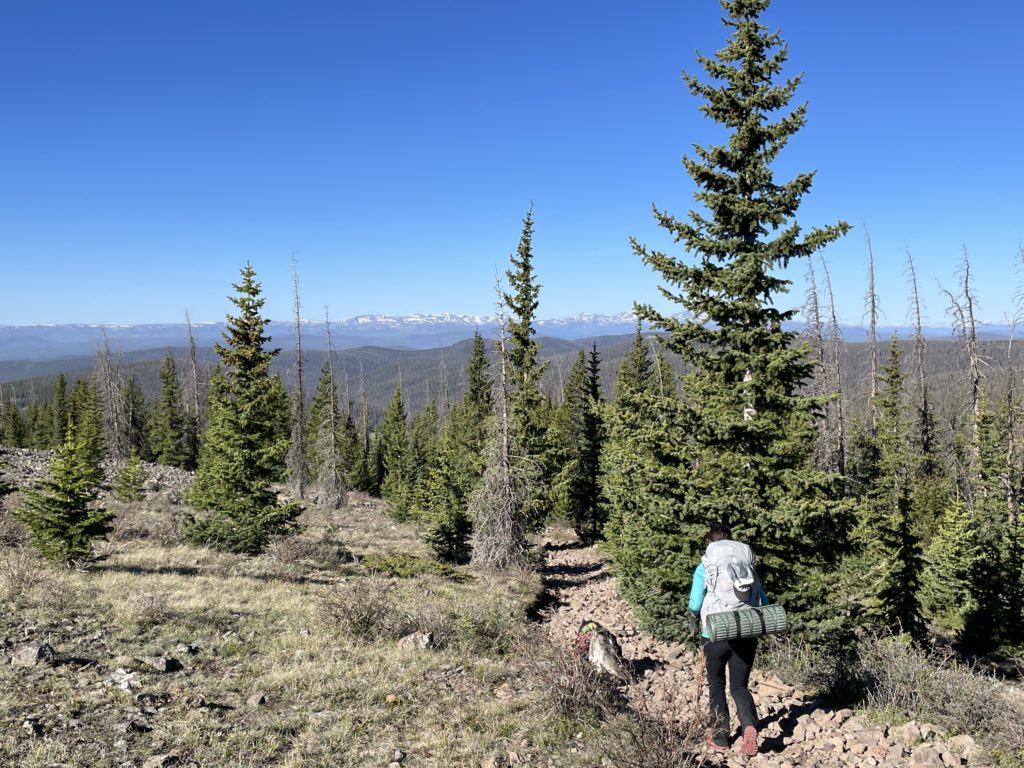
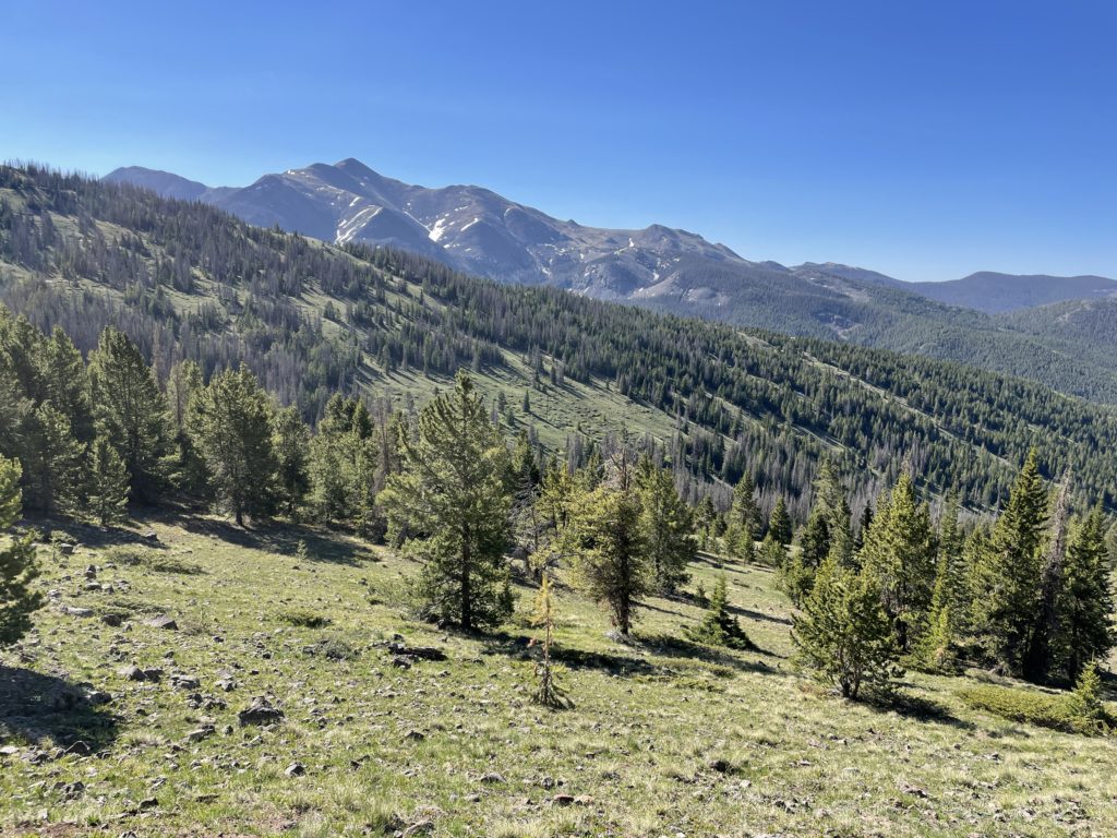
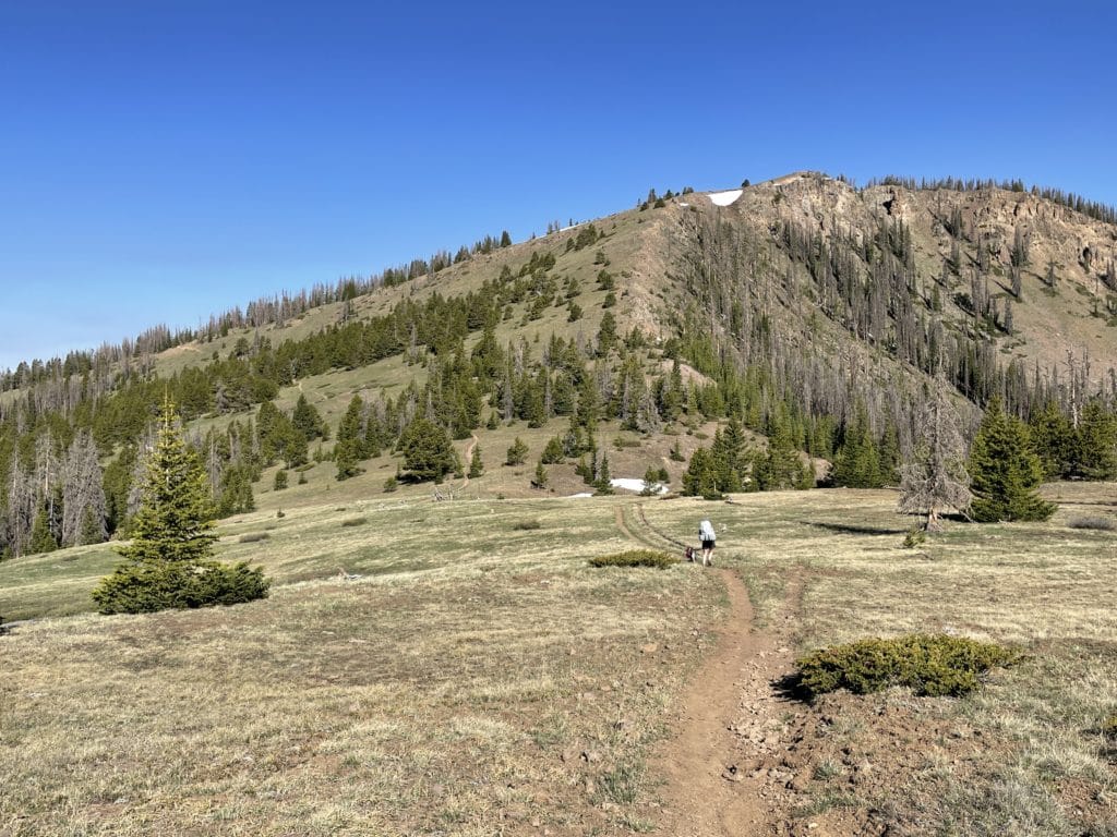
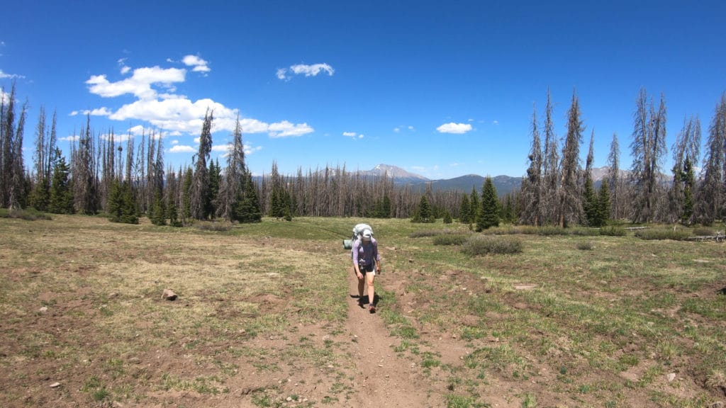
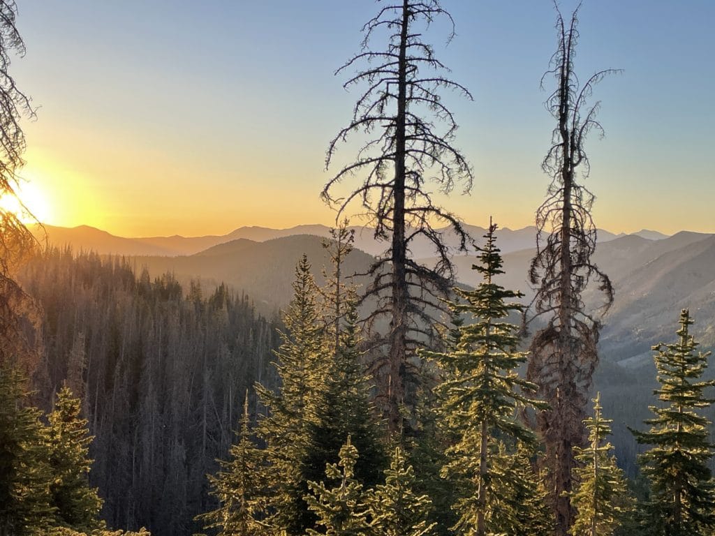
Best Views: Listen, I am jaded to Colorado views, we have covered that a number of times on this site. However, in my opinion, you can flush Segment 17 down the toilet. There are a handful of good spots for views (right after the intersection with Baldy Lake, Near Razor Creek etc) but in general it’s hiking through thick pine forests with no exciting features. Segment 16 is a bit better: spots with good views from miles 3-6 and excellent views towards the last few miles of the segment. Overall though, Colorado Trail Segments 16&17 are towards the bottom of our list for good views on the first half of the CT.
Colorado Trail Segments 16 & 17 Hike Route
Includes a side trip down to Baldy Lake for a night
Gear Needed
- Osprey Atmos 65 Backpack
- Hiking Shoes
- OR Hiking Boots
- Garmin inReach
- Water Filter OR UV Pen
- Headlamp
- Optional: Tent
- Optional: Sleeping Pad
- Optional: Sleeping Bag
- Optional: Cook Kit
- Optional: Stove
- Optional: Hiking Poles
Jackie’s Gear:
Juno’s Gear
Colorado Trail Books:
- Full Version
- Pocket Guide
- *Links included in this description might be affiliate links. If you purchase a product or service with the links that I provide I may receive a small commission. There is no additional charge to you.
Our Trip to Colorado Trail Segments 16 & 17: June 2021
Jackie, Juno and I were chomping at the bit to get back after our segmenting journey of the Colorado Trail and during a weekend in June, the opportunity finally presented itself. We had learned valuable lessons from the past few years and knew that camping spots, miles and water sources were going to be key on these two segments.
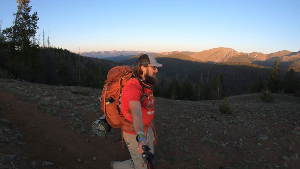
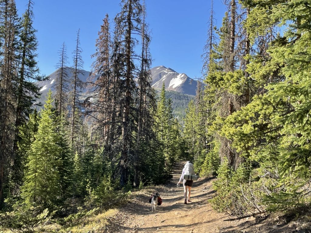
We arrived at Marshall Pass on a Friday night, got our bags ready and hiked 3 miles to our first camping spot and set up the tent – it was GORGEOUS. We woke up the next day refreshed and ready to go. Our plan was to hike 20 or so miles to Baldy Lake where we would camp for night 2. The hiking started off beautifully with views of Mt Ouray and the neighboring Sawatch Range peaks. After a while though the temperatures started to rise, hiking got monotonous and by the time we reached the end of Segment 16, we were all ready to move on to something new. We made a quick side trip to Soldierstone (which I HIGHLY recommend), soaked in the beautiful monument, thought about how crazy it would be to fight in Vietnam and took a snack break.
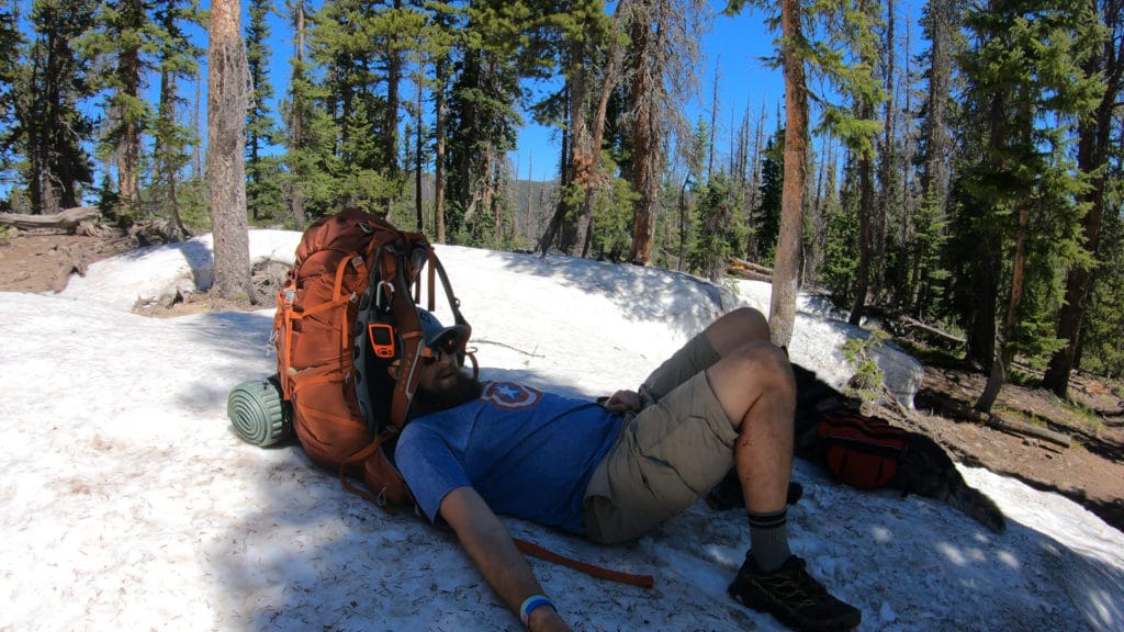
After our break, Segment 16 officially ended with no discernable end/start to the next segment. It was later in the afternoon at this point and we only had about 8 or so miles of hiking left. Segment 17 was fairly boring and as we discovered, FULL of bugs. We of course had forgotten bug spray and wanted to cut all of our skin off / donate our blood to the Red Cross so that the mosquitoes would leave us alone. When we finally reached Baldy Lake, we literally set-up the tent and with all of our clothes/bags/shoes on got into it to get a break from those awful blood suckers. We were all exhausted so had a quick dinner and went to bed shortly after.
Day 3 of our journey on Colorado Trail Segments16 & 17 started off with more of the same: boring views, loads of bugs and monotonous hiking. Things got spiced up a bit when we saw two different foxes along the way. That was the high point of the day. For the rest of the hike, we delta with sweltering temperatures, no water sources and no views. Juno was so out of hiking shape that at one point she would stop at every piece of shade and just lie down. It was a ROUGH end of Colorado Trail Segments16 & 17. After we got onto Lujan Creek Road, I decided that it was just too hot for Juno to keep going so I walked the two miles towards CO Highway 114 by myself, grabbed the car and went back to pick up Juno and Jackie who were resting in the shade.
Overall, Colorado Trail Segments 16 & 17 were not our favorite of our journey thus far, but still had some high points we will not forget. It was type 2 fun in its finest but still left us excited to get back after more hiking on the Colorado Trail!
Soldierstone