Flying J Ranch Park Colorado Hike Review
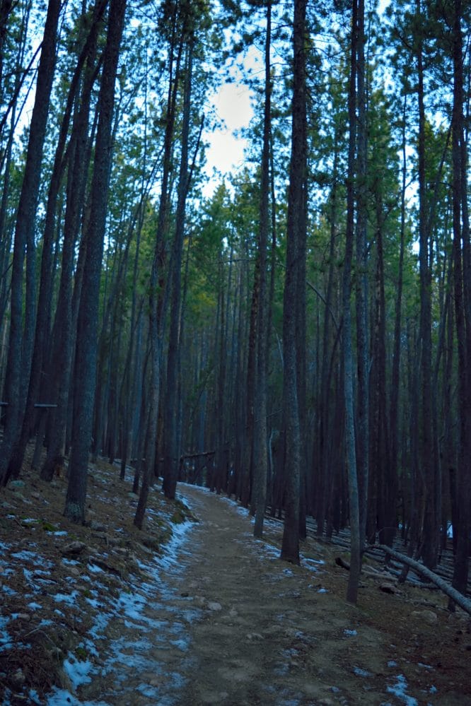
Flying J Ranch Park is a smaller open space park located in Conifer, Colorado. The park has about 4.5 mile of trails in the 400+ acres of land. All hikes in the park are friendly for families and dogs. Flying J Ranch Park is used by mountain bikers and runners in addition to normal walking/hiking traffic. As of 2020, the park underwent some serious thinning of dead trees to prevent wildfires and looks very different than years past. Its still a great place to visit and arguably has cleared out some new viewpoints throughout the park.
Flying J Ranch Park Quick Facts
Flying J Ranch Park Rating: ★★ (⅖ Stars)
Distance: Flying J Ranch Park has 4.7 miles of trails- see complete park map here.
Elevation Start: 7,600 ft
Highest Point In Park: 8,100 ft
Total Elevation Gain: Various – most trails are under 500 ft total
Estimated Time to Complete: 30 minutes to 1 hour, depending on trail
Difficulty: Walk in the Park to Easy What does this mean?
Class: Class 1
Season: Year Round – Expect Snow December – March
Directions to Flying J Park
Trailhead: Two to choose from – Main entrance and smaller parking area off Shadow Mtn Dr.
Getting Here: Flying J Park is located off of highway 73 in Conifer, Colorado. There are a number of ways to get to the park, so its best to put in “Flying J Ranch Park” into your favorite navigational device.
Parking: Flying J Ranch Park has two parking areas. The main parking area (off of highway 73 – signed park entrance) has non-plumbing bathrooms and parking for 10-15 cars. The other smaller parking area off Shadow Mountain Drive (about ½ mile down the road from the other entrance) has parking for 10-15 cars with no restrooms. Both areas are free to park. Typically, the park sees average traffic on weekdays but will get busy on weekends.
Summary
Dogs: Flying J Ranch Park is dog friendly.
Camping: Camping is not allowed at any Denver Open Space Parks. In fact, the park closes 1 after hour the sunsets year-round. Park rangers are a bit stingy here and have been known to give out tickets or warnings for violating this or any of there other rules.
Make it a Loop: The park has a variety of trails that can easily be formed into small or larger loops. Check out the trail map here for more information.
Gear Needed
- Mickey’s Mountain Kit
- Optional: Microspikes – helpful in winter, the trail can get icy
- Optional: Camera
Hike Tip(s): If you have never been here before and want to hike a trail that some people may miss, head to the main parking area and walk to the covered pavilions. From here, take a right and walk the visible trail down towards the small retention pond. Typically, its rather quite in this are of the park and offers some of the better scenery available at Flying J. Another trail that is often not hiked is the “maintenance trail” in the south most section of the park.
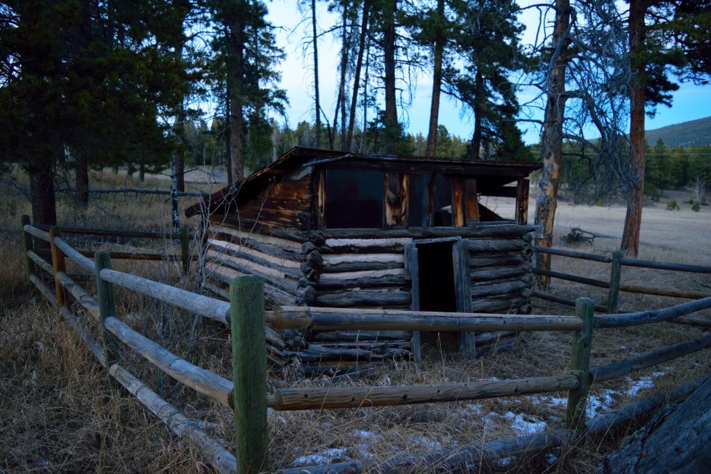
Best Views: Flying J is not my favorite place to take pictures in the sense of hiking. However, if you were looking for a decent spot to shoot families, engagement pictures or things along those lines, Flying J would be a okay option. For the average hiker, leave the camera at home and just bring the smartphone.
Flying J Park Hike Route
Shows almost all trails in the park