
Handies Peak Colorado 14er Hike Guide
Handies Peak, one of the easiest Colorado 14ers, is located in the San Juan Mountains near Lake City, Colorado. The American Basin route, covered here, is just about 6.5 miles total with about 2,600 feet of elevation gain. Although the hike itself is very easy, relative to other Colorado 14ers, getting to the trailhead can be another story. Typically the road to the American Basin requires high clearance AWD or 4×4. If you are able to get to the trailhead, Handies Peak is a great choice as a first 14er hike. The mountain is so remote so it attracts far less people than some of the other easy Colorado 14ers and the views from the top are absolutely stunning.
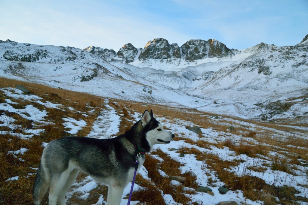
Handies Peak Quick Facts
| Category | Details |
| Hike Rating | ★★★★★ (5/5) |
| Area | San Juan Mountains, Colorado |
| Trailhead | American Basin |
| Distance | 6.5 Miles Total – Lower Parking Area |
| Route Type | Out and Back |
| Elevation Start | 11,440ft |
| Highest Elevation | 14,058ft |
| Total Elevation Gain | 2,600ft |
| Estimated Time to Complete | 4-5 Hours Total |
| Difficulty | Moderate – What does this mean? |
| YDS Class | Class 1 – What does this mean? |
| Exposure | Low |
| Best Season | July – September |
| Activity Type | Hiking, Trail Running |
| Crowds | Low |
| Dogs Allowed | Yes |
| Permit/Fee | No |
| Last Hiked Date | 6.18.23 |
Other Routes Up Handies Peak
- Handies Peak East Slopes – A longer but less traveled and easier to approach way up this 14er.
Handies Peak Virtual Trail Guide
In this virtual trail guide you’ll see the trailhead, route conditions, navigation tips, difficult sections, summit views, what to expect throughout the hike and of COURSE, my unique experience on this hike.
Handies Peak Route Map & GPX
The map below shows the route that I followed for this hike. GPX files are available through a suggested donation of $3-$5. Creating and maintaining hiking guides, videos and GPX files takes a tremendous amount of time. Your support helps keep The Virtual sherpa running, covers website hosting costs and allows me to continue creating free hiking content.
After making a donation, click the button below to send me an email with the hike name in the subject line. I’ll send the GPX file as soon as possible.
Handies Peak Directions & Parking
Protected Area Type: Wilderness Study Area
Protected Area Name: Handies Peak Wilderness Study Area
Trailhead: American Basin
Coordinates: 37.925680266545804, -107.51423817412656
Directions to Trailhead: Lower Trailhead, Upper Trailhead
Driving Directions: Navigate to Lake City and drive through the small town. Once you are about 2 miles South of town, take a right on County Road 30 which is dirt. The road is typically fairly well maintained but having AWD or 4×4 is helpful. After about 14.5 miles, the Grizzly Creek Trailhead, the road turns a bit more rough so proceed carefully. After 6 more miles, 20 total from town, you will reach a fork in the road; right brings you to Cinnamon Pass, left goes to American Basin. Head left and you will see a small parking area (before the stream) where lower clearance cars can park. After the stream crossing is a total wildcard with road conditions and snow. However, if you are able to drive further, the upper trailhead is another mile or so up the rough road.
Parking: Handies Peak has several options to park: a lower lot that can hold about 5 cars which is located about .25 miles from the lower trailhead, before you cross the stream. If you do cross the stream, there is a small pull-off about a hundred yards after, that can fit a couple of cars. If you are able to make it to the upper trailhead, you save yourself about 10 minutes of hiking. The lot can fit about 10 cars.
Permits or Reservation/Fee Description: None
Handies Peak Trail Overview
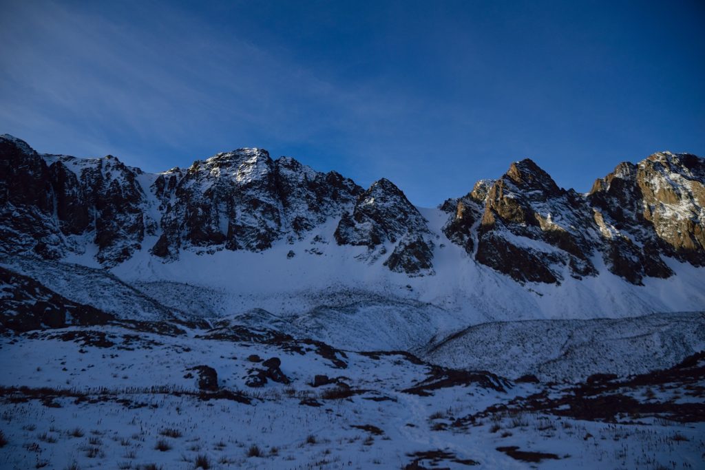
Assuming you are not starting at the upper trailhead, continue on the road until it ends and the trail starts on the left side of the upper parking area. The first 2 miles of the Handies Peak trail are relatively flat on a fairly easy to follow dirt trail, well marked with cairns.
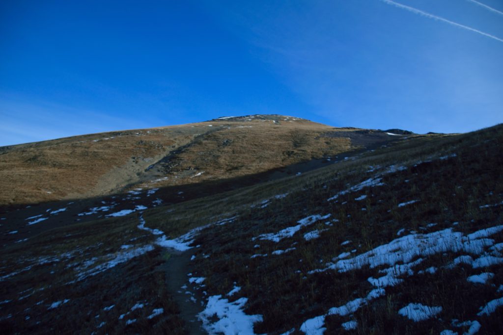
The trail was mostly packed dirt until reaching Sloan Lake at about 2.15 miles. After that the trail converts to loose rock for about a quarter mile as it works its way northeast along the south ridge. Cross a rockfield and then ascend some switchbacks to gain the shoulder of Handies Peak. The trail works straight up the shoulder on steep, dirt covered, slopes until reaching the summit of one of Colorado’s most beautiful 14ers.
Plan Your Hike
Check Weather: Handies Peak Weather
Camping: If you want to camp near Handies Peak, you are in luck. The long road drive on County Road 30 has ample camping spots along the way. Camping is free and there are limited non-plumbing bathrooms along the way. Although there are some spots to camp near the Handies Peak trailhead, they are not ideal (lack of wood, cover, flat ground), so I would try to snag a spot before you reach the TH if you want a nice area to camp. Many spots along th County Road and near the trailhead are marked with wood posts. These have a fire grate complete with a grill on top of each, please follow all principals of Leave No Trace and do not create new camping sites.
Bathrooms: Handies Peak has no bathrooms at any of the parking areas but there are some along County Road 30.
Hazards: Route Finding, Water Crossing, Weather Exposure
Dog Description: Handies Peak is a perfect 14er for dogs. The hike is Class 1, so there are no technical sections were your dog would have any trouble following you up the mountain. Terrain-wise, the trail is mostly packed dirt. Please keep your dog on a leash since this is a Wilderness Area.
Water Sources: Handies Peak does have a stream, fed by snow melt, that runs close to the trail should you need to filter in the case of an emergency.
Drones: Handies Peak is in a Wilderness Study Area, which prevents drones from flying. Please always follow all drone regulations.
Hike Tips: If you plan on driving to Handies Peak in a lower clearance or 2WD car, you can probably make it to the lower trailhead but be prepared to add some extra miles. This road is maintained by the County but can vary drastically from season to season and year to year. Also, be sure to check the weather on this hike – the entire trail is completely above treeline, leaving you nowhere to go if a storm rolls in or catches you off guard.
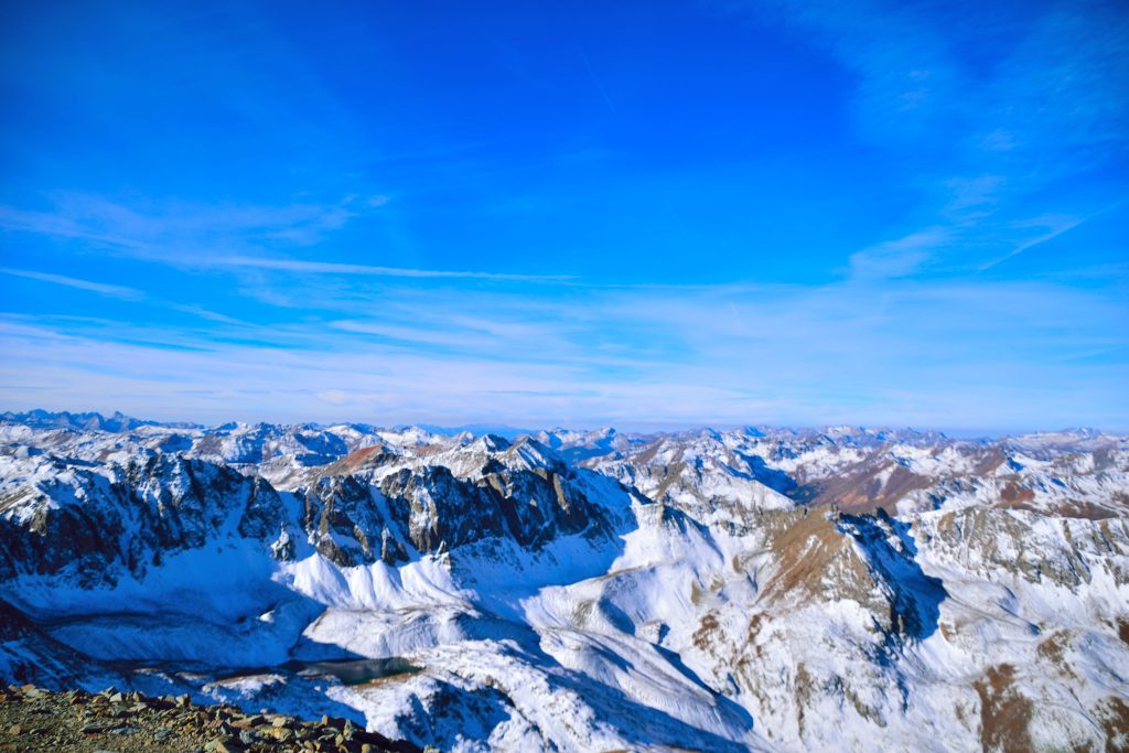
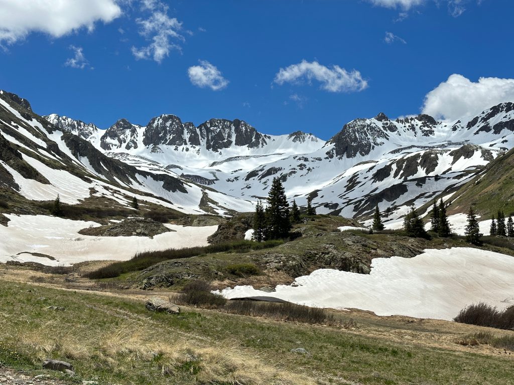
Best Views: From the time you start this hike in the American Basin to the time you get to the summit, the views up Handies Peak are insanely beautiful. As previously mentioned, I feel this hike has some of the best Colorado 14ers views in the entire state. The American Basin is also stunning in the summer when wildflowers start to bloom. This is truly one of the most scenic corners of the state.
Primary Attractions: Summit Views, Alpine Lake, Wildflowers, Wildlife
Gear Needed
New to Colorado 14ers? This is What to pack for a 14er day hike.
Required Gear
- Hoka Mafate 5 – My go to hiking shoes and trail runners
- La Sportiva Cyklon – Great for scrambling
- Osprey Talon 22 Backpack
- Sunglasses
- Running Hat – Save 15% Using “DMRCMickey15”
- Base Layers
- T Shirt
- Mid Layer / Sun Hoodie
- Rain Jacket / Shell – Black Diamond
- Mountain Hardwear Puffy Jacket
- REI Sahara Pants
- North Face Wander Shorts
- Socks
- Hiking Poles – 120CM
Seasonal Gear
Optional Gear
- Helmet
- Water Filter
- Garmin inReach
- Headlamp
- Garmin Fenix Watch
- UD Running Vest
- Osprey Running Vest
- Film Gear: GoPro, Joby Tripod, Selfie Stick, GoPro Max 2 , Drone, Insta360
- *Links included in this description might be affiliate links. If you purchase a product or service with the links that I provide I may receive a small commission. There is no additional charge to you.
Dog Gear
More Hikes in the Area
- Handies Peak East Slopes – the other, slightly longer, way up this 14er
- 14ers Redcloud Peak & Sunshine Peak
- 13er Jones Mountain
- 13ers Pt 13,832 & 13,811
2 thoughts on “Handies Peak Colorado 14er Hike Guide”
Do you know what the conditions of the road from lake city and the trail might be like end of December? I’m new from Washington and haven’t seen many or any reports around this time for American Basin.
That road is closed about 8-10 miles down for the season and likely won’t be open again until end of May.