Mt Adams New Hampshire Winter Hike Guide
Mt Adams New Hampshire is the second highest mountain in the state behind neighboring Mt Washington. The hike to the top has a variety of different trails including: King Ravine, Airline trail and Lowe’s Path to name a few. Mt Adams is easily paired with neighboring Mt Madison. This is a great hike year round (if you have the gear and experience) but is typically hiked in the summer. This is a strenuous hike with lots of elevation gain.
Mt Adams New Hampshire Quick Facts
Mt Adams Rating: ★★★ (⅗ Stars)
Distance: 8.07 miles
Elevation Start: 930 ft
Mt Adams Elevation: 5,794 ft
Total Elevation Gain: 5,100 ft
Estimated Time to Complete: 6-8 Hours RT
Difficulty: Moderate – Hard What does this mean?
Class: Class 2 – What does this mean?
Season: Year Round – Expect Snow December – March
Directions to Mt Adams New Hampshire
Trailhead: Appalachia (via Airline trail)
Getting Here: Coming from the north or south, find your way to 93 and take US 3 towards Twin Mountain.Once you reach the intersection of US 3 and 302, continue straight for another ¾ of a mile and turn right onto NH 115. Take NH 115 for 11.2 miles and turn right onto US 2 East (The Presidential Highway). Continue on this for 7.2 miles to reached the signed trailhead parking area on the right. You can enter “Appalachia trailhead” into your favorite navigational device.
Gear Needed
- Dakine Poacher Winter Backpack
- Hiking Boots
- Hiking/SkiPoles
- Headlamp
- Climbing Helmet
- Mountain Axe
- Crampons
- Crampon Bag
- La Sportiva Mountaineering Boots
- Microspikes
- Optional: Snowshoes
- Optional: Gaiters
- Optional: Ski or Snowboard
- Optional: Camera and Lens
- Optional: GoPro, Joby Tripod
- *Links included in this description might be affiliate links. If you purchase a product or service with the links that I provide I may receive a small commission. There is no additional charge to you.
My Trip to Mt Adams New Hampshire: December 2017
I grew up in southern New Hampshire and thought there was nothing to do there when I was little. I would always complain how boring it was and how I didn’t like it. What a stupid little kid I was. As I got older, I finally realized the playground that northern New Hampshire offers for hiking. I had hiked a number of the Presidential range mountains (Adams, Jefferson, Washington, etc.) but thought it would be cool to compare those mountains I hiked so long ago to what I have been hiking in Colorado for years.
One of my friends was getting married in northern New Hampshire, so I thought I would take advantage of the trip and hike Mt Adams before the rehearsal dinner. My mom dropped my off at the Apalachia trailhead around 11AM on a Friday so that I could begin my hike (yes I am 12 – but huge shoutout to my mom for schlepping my sorry ass around). Time was tight as I needed to be back down at the trailhead by 4PM in order to make the rehearsal dinner I had later that evening. I shot some quick video and hit the trail.

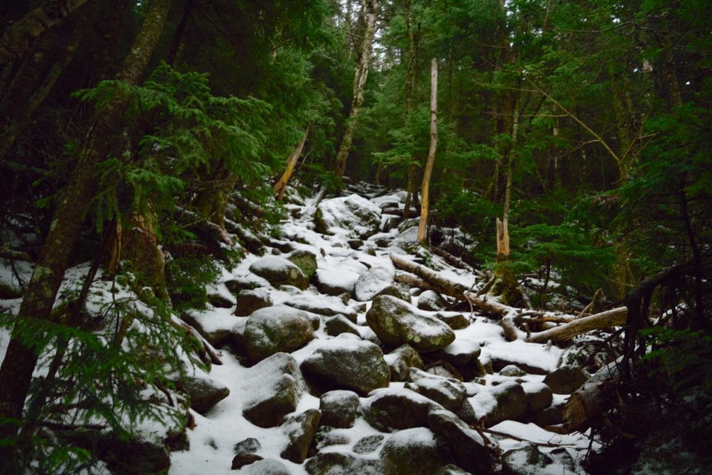
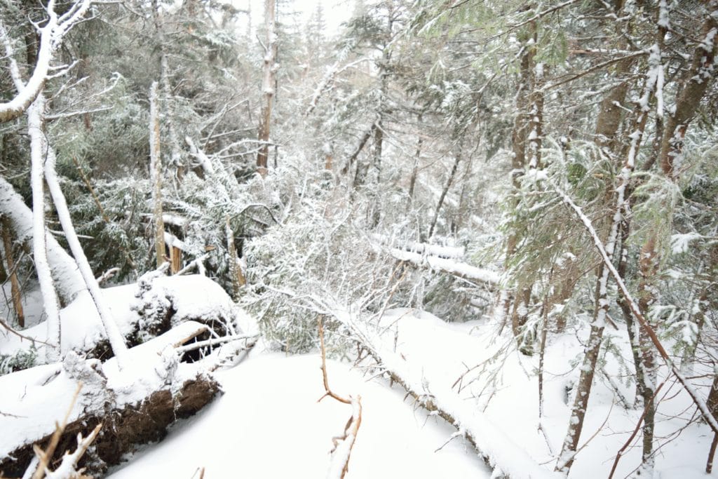
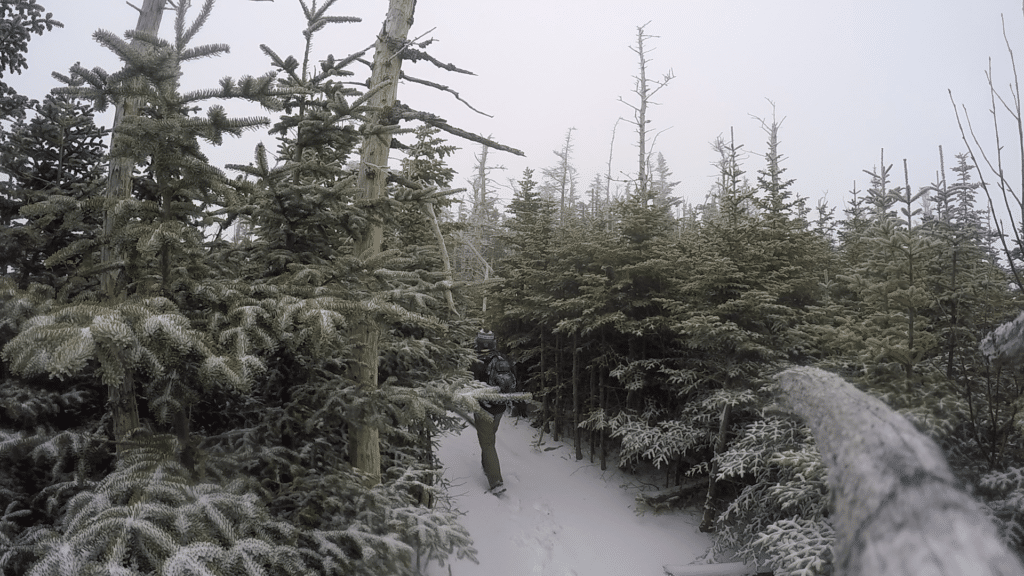
For the first several miles, the ground was icy and wet with leftover snow from a previous storm the night before. The trail started off flat but had consistent hills all the way to the summit of Mt Adams. I was making great time until I hit a section around 2 miles where several trees had been knocked over by the strong winds. Around this same time, I reached snowline on Mt Adams, so I was hiking through the woods around downed trees with a couple of inches of untouched snow. After I navigated through the trees, the snow got a bit deeper. Although I was breaking trail, it was so cool to be in a peaceful environment all by myself. I kept noticing small cat like tracks in the fresh snow which had to be a bobcat or fisher cat. Around 3 miles, the trail got much steeper and eventually I broke treeline.
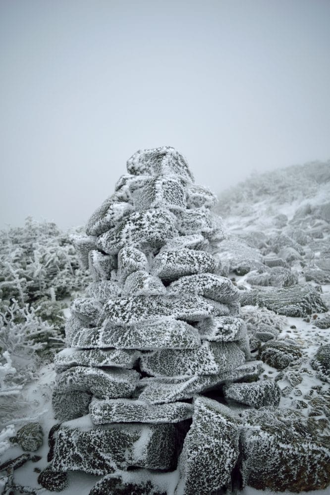
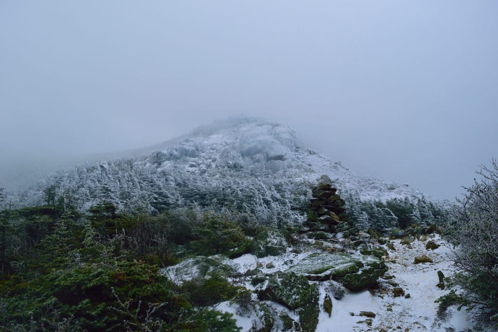
I knew that it was probably going to be pretty cloudy on the summit because we were not able to make out any of the upper parts of Mt Adams on the drive in. Boy was I right. When I left the trees, I immediately entered a new world. The clouds that I thought I would have, well I was in them. Visibility was less than 25 yards and the winds, oh the winds. I am very used to hiking in strong winds (see my hike up Mt Antero) but the winds make a 195lb man lose balance, you take them seriously. To make things worse, I had been sweating up most of the hike up Mt Adams, so my sweat in my hat, backpack, and jacket immediately froze. It looked as if I was dipped into a cryogenic chamber. The good news was that I had plenty of warm layers, so I stopped to put many of them on.
As I continued up Mt Adams, the only thing that I could make out was the large cairns. Somehow my focus slipped and I ended up off trail. I was now hiking towards Mt Madison which was in the opposite direction of Mt Adams. I took out my phone to locate myself on a map and used the compass to find the right direction to head towards. Eventually, I was able to make out a cairn in the cloudy distance and followed those the remaining way up the summit. As I neared (what I thought) was the top of Mt Adams, the winds picked up significantly and started to eat through the thick layers of clothes I had on. Even though it was 20 degrees, somehow I was still sweating (once you sweat, you are done) so my facemask was now a frozen block of fabric. Neat. Even though the conditions were so bad, the only thing I could think of was how everyone was going to make fun of me at the rehearsal dinner for (not leaving the mountain – an expression that is used when you get odd sun or wind burns when hiking/skiing).

I kept on towards the summit and the snowdrifts were now knee deep. One step would land on a rock, the next would land up to my knee in snow. It was painfully mentally taxing. Eventually, I reached what I thought was the summit of Mt Adams (at the time, I honestly had no idea but I had reached my time limit for the day and had to turn around). Once I left the summit, I immediately took a wrong turn and was lost again. I know this sounds insane, but when visibility is 10 feet and everything looks the same, it is extremely easy to make this mistake. I looked at my GPS to find my path up Mt Adams. It told me to go a way that I thought was wrong, so I kept heading the wrong way towards a cairn in the distance. I followed these for a bit, but still did not feel right about where I was heading. I decided to listen to my GPS and head in the opposite directions towards the path I had hiked up previously. Good thing I did because I found my tracks up Mt Adams several minutes later.
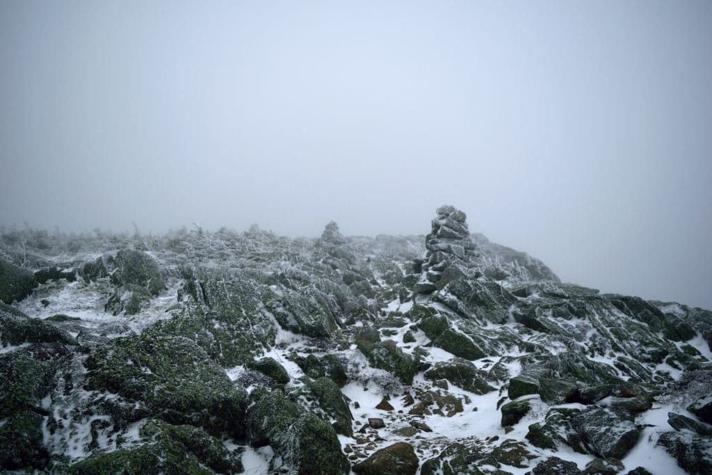
The rest of the way down, I just followed one cairn at a time: partly because that was as far as I could see, but the other part didn’t have any time to spare. Soon enough, I was back down in the trees and now had under an hour and thirty minutes to get back to the car. I started jogging through flat sections and carefully sped walked others. Per usual, the hike down was much faster than going up and I was down at the car at 4PM on the dot. I was pretty disappointed that I could not add Mt Madison to my hike, but was thrilled with the fact that I had added some valuable winter hiking experience up Mt Adams.
If I lived locally, I would spend a lot more time in the white mountains and would try to hike more of the top 40 in the winter, summer and fall. I highly recommend Mt Adams as a winter or summer hike because of the varying trail conditions, relatively short hike and great views on the top (if my memory serves me correctly). If you want to hike Mt Adams in the winter, it is certainly possible, just be prepared with the right clothing and gear.
