Mt Silverheels 13er Hike Trail Guide
Mt Silverheels is a 13er located off of Hoosier Pass in Northern Colorado. The mountain’s summit is just shy of 13,900 feet making it the 96th tallest official peak in Colorado. Hiking Mt Silverheels can be done year-round but has no official trail from start to finish. Although there is a lack of trail, this hike is doable for hikers of all skill levels so long as they have basic route finding and map reading skills.
General Trail Information: Mt Silverheels
Virtual Trail Guide: Mt Silverheels
Mt Silverheels Hike Rating: ★★★ (⅗ Stars)
Distance: 9.4 Miles RT
Elevation Start: 11,542 ft
Highest Point: 13,829 ft
Total Elevation Gain: 3,800 ft
Estimated Time to Complete: 4-6 Hours RT
Difficulty: Moderate Difficulty System Explained
Class: Class 2 What does this mean?
Season: Year Round if hiking from Hoosier Pass – Expect snow November to June.
Weather: Check the Weather Forecast
Directions to Mt Silverheels
Trailhead: Hoosier Pass
Getting Here: From Breck/Points North: Navigate to Breckenridge, Colorado and from here its about 20 minutes to Hoosier Pass. Take CO-9 South for about 11 miles to reach Hoosier Pass summit on your right.
From Alma/Points South: From US 285 in Fairplay, take CO-9 North for about 11 miles through the small town of Alma and up Hoosier Pass to reach the summit parking area on your left.
In either case, you can enter Hoosier Pass into your GPS.
Fees: There is no fee to hike Mt Silverheels.
Parking: Parking on Hoosier Pass is usually accessible year round with parking for 40-50 cars. Even with such large capacity, it can get very busy on summer weekends as it serves as a starting point to many hikes in the area. There are no restrooms at Hoosier Pass. To start the hike to Mt Silverheels, cross the road to the eastern side (opposite the parking lot).
Summary
Camping: Mt Silverheels does not have any great camping options nearby since Hoosier Pass is surrounded by privately owned land.
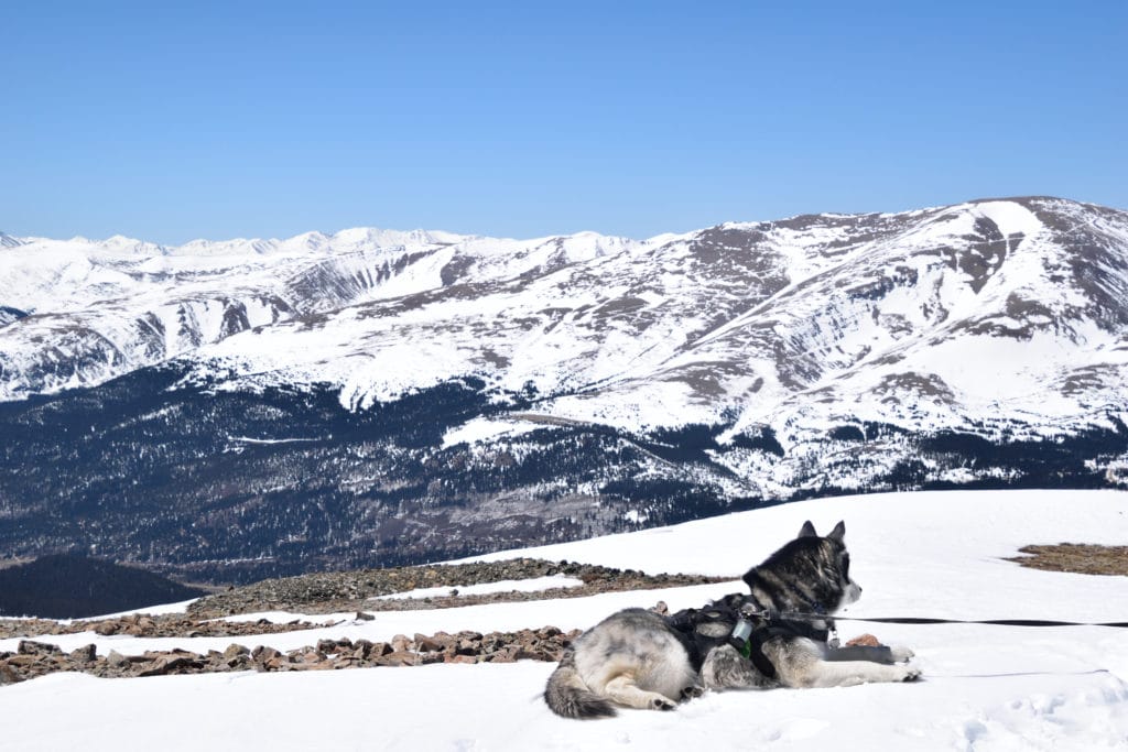
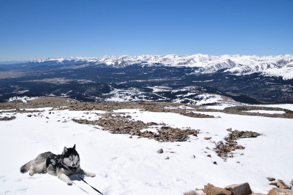
Dogs: Mt Silverheels is a dog friendly hike year round, but I would only recommend bringing your dog in the spring and winter months if they have ample experience hiking on rough terrain in snow. Be sure to be aware that this area is covered with avalanche prone terrain right off the main route so I would recommend keeping your dog on a leash when snow exists.
Make it a Loop: Mt Silverheels is an out and back hike.
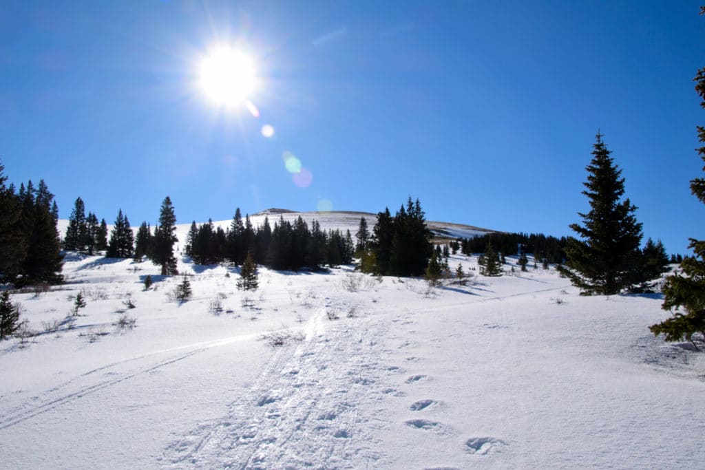
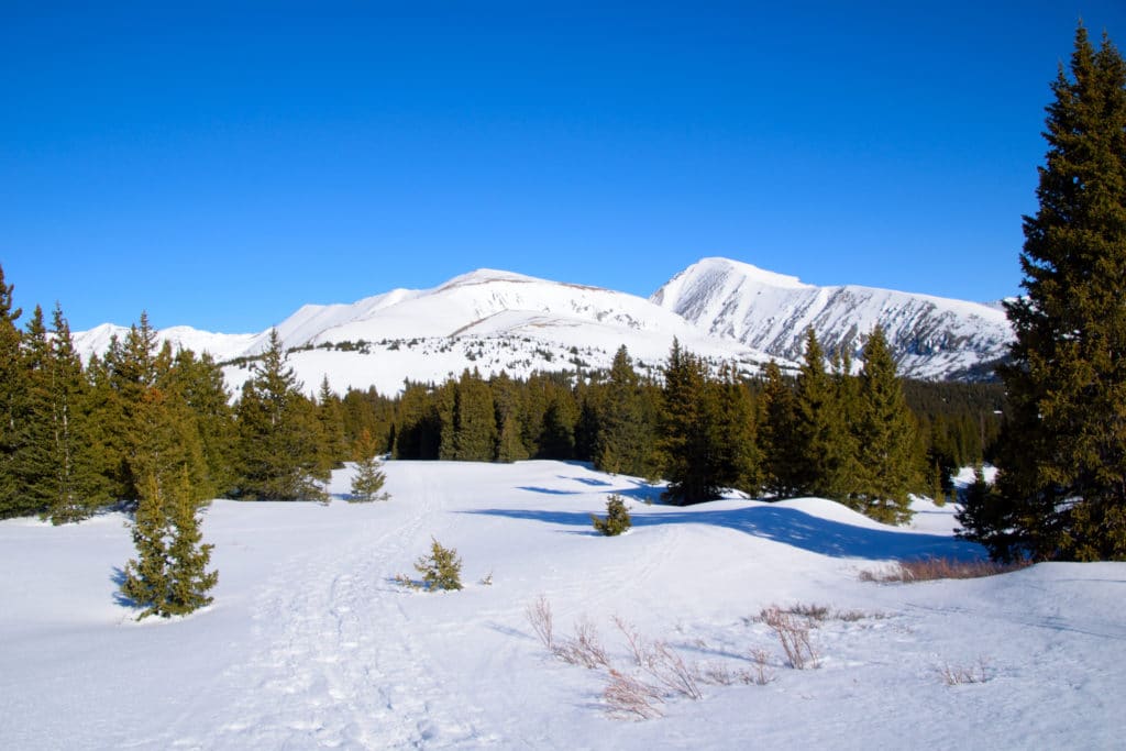
Trail X Factors: When hiking Mt Silverheels, there are two things to keep in mind: the lack of an official trail and the exposure to the elements.
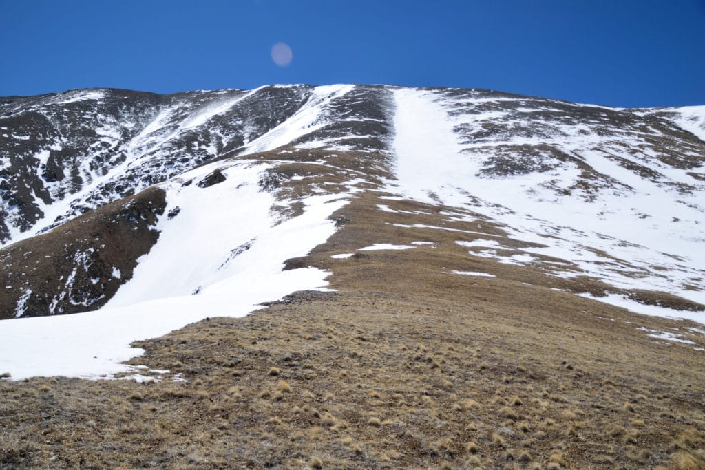
Like many 13ers in Colorado, there is not a well established and defined trail up to the top of the mountain. However, unlike some mountains, the route up this mountain is very basic and easy to figure out with a little research beforehand. Be sure to study my GPS of the route above and watch my virtual guide up the mountain to understand where you are going.
When hiking Mt Silverheels the exposure to the elements is basically the entire hike. Due to this, be sure to turn back at any signs of bad weather and research the weather for the day you plan on hiking using my link above. If a storm does roll in, you are going to have a bad time because there really is nowhere to take shelter.
Hike Tip(s): When you are hiking Mt Silverheels, expect to do some route finding since there really is not an official trail. It’s not rocket science since most of this hike is above treeline, but it can be easy to take an early turn and end up with extra elevation gain or on avalanche prone slopes in the spring and winter. Study my video and GPS tracks to understand where key landmarks are on this hike.
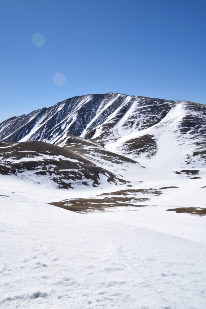
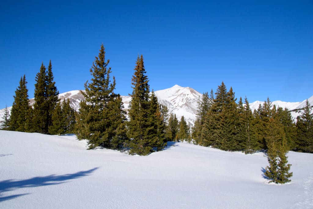
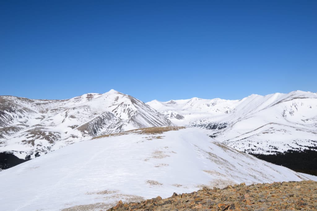
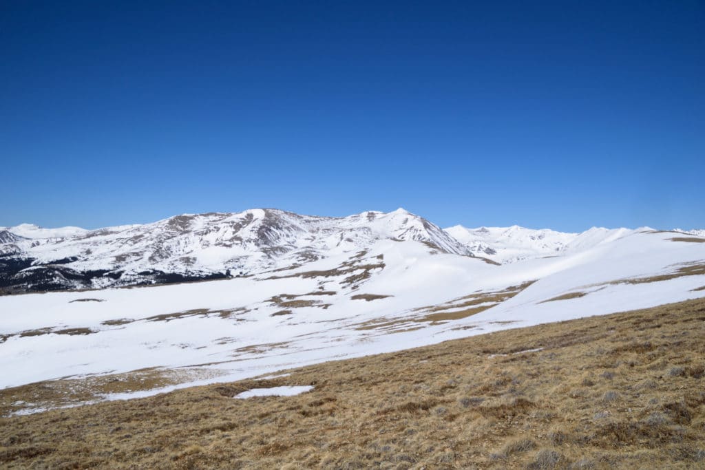
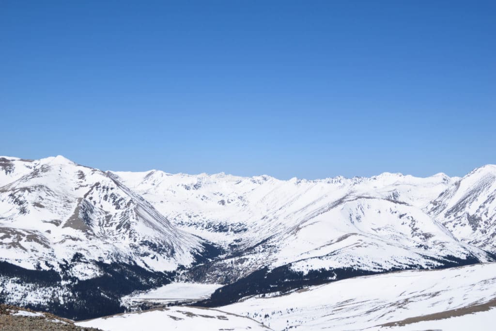
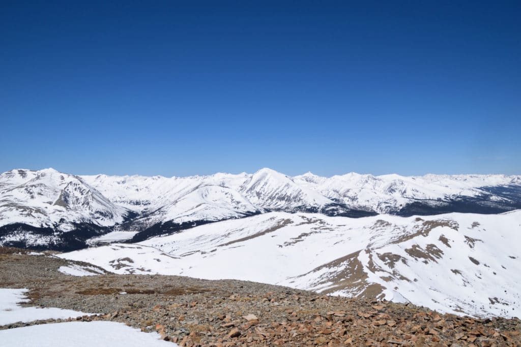
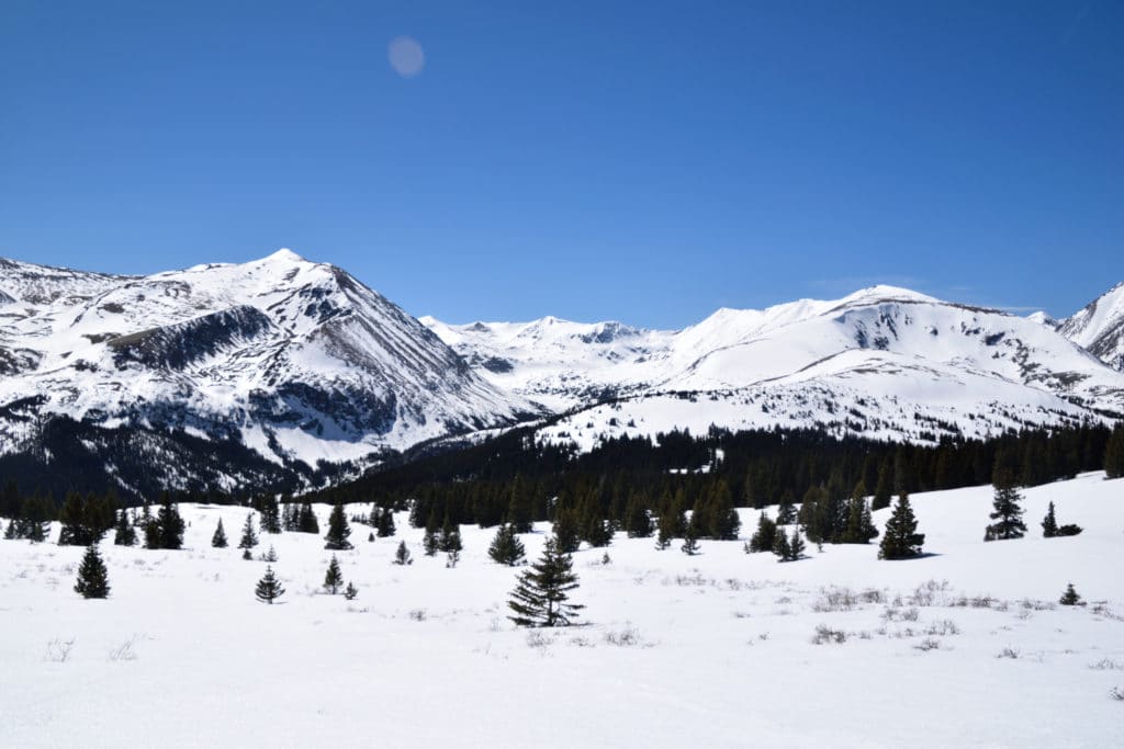
Best Views: You really can’t go wrong with the views on the hike up to Mt Silverheels. From about a quarter mile above treeline to the summit you will have outstanding views of the Front Range, Ten Mile Range, Quandary Peak and the Gore Range. From the summit a clear day will bring you views of Pikes Peak, the Collegiate Peaks, Mt Evans, and even the Elk Range.
Mt Silverheels Hike Route
Gear Needed
- Mickey’s Mountain Kit
- Backpack – this has been my go to
- Comfortable Hiking Boots – These are the ones that I use.
- Map of area or GPS – I use the Garmin inReach
- Microspikes in winter or late spring (helpful on loose rocks)
- Protection from the sun: sunscreen, hat, sunglasses – lots of exposed hiking
- Hiking Poles
- Optional: Snowshoes in winter or spring
- Optional: Wind/Rain Proof Clothing – can be helpful keeping you dry and warm
- Optional: Gaiters (in winter)
- Optional:Camera and Lens
- Optional: GoPro, Joby Tripod
- *Links included in this description might be affiliate links. If you purchase a product or service with the links that I provide I may receive a small commission. There is no additional charge to you.
My Trip to Mt Silverheels Hike: March 2020
The late winter months of 2020 brought abnormally warm and dry weather so Juno and I decided to take advantage of the beautiful weather and get in another winter hike. After completing the 14ers in Colorado, the Centennials (top 100 highest peaks in the state) were next on my list. Mt Silverheels is ranked 96 on that list and dog friendly which made for the perfect hike.
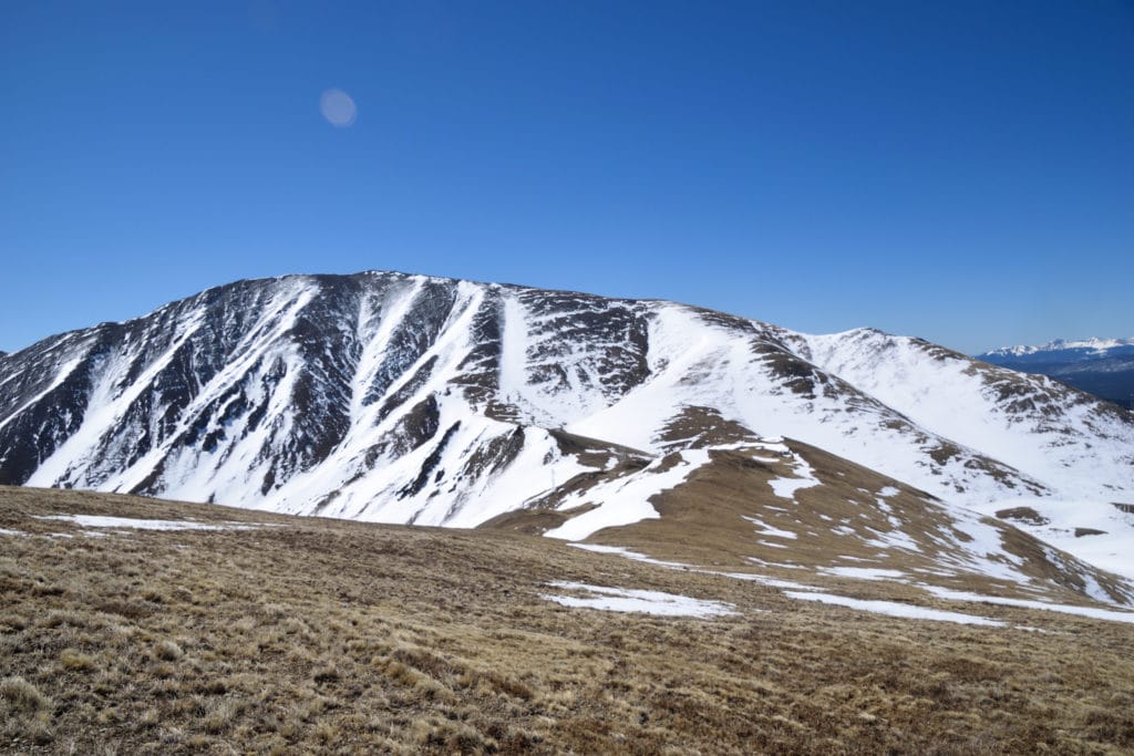
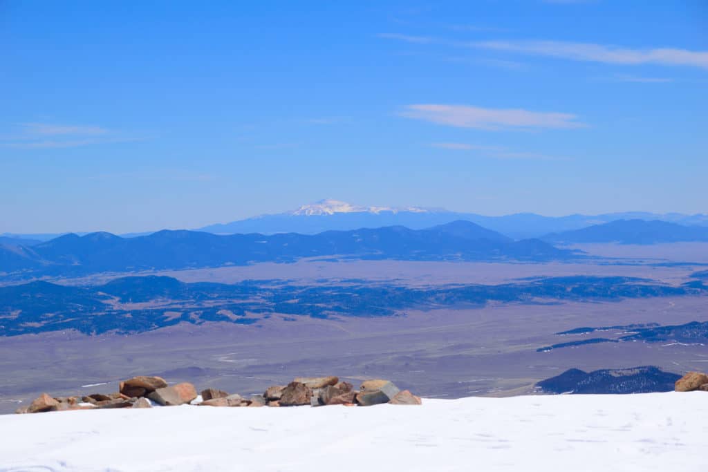
Pikes Peak in the distance 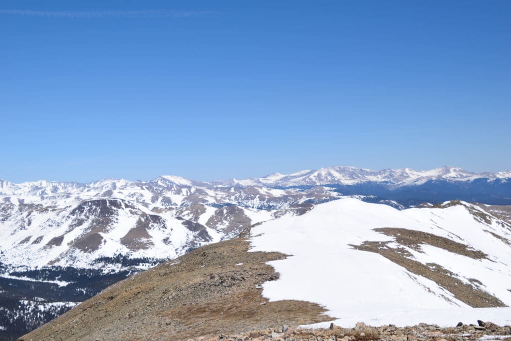


Mt Silverheels Virtual Trail Guide
Questions or comments about the hike up Mt Silverheels? Leave a comment below or follow me on Instagram!