Colorado Trail Segment 20 Hike Guide
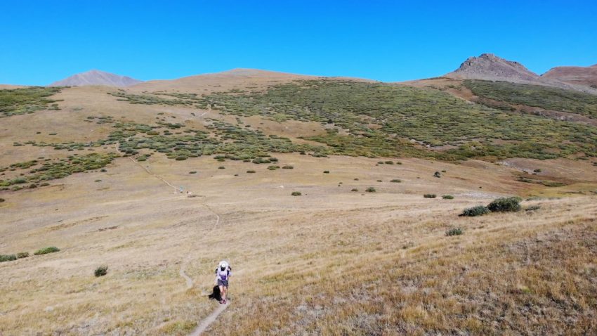
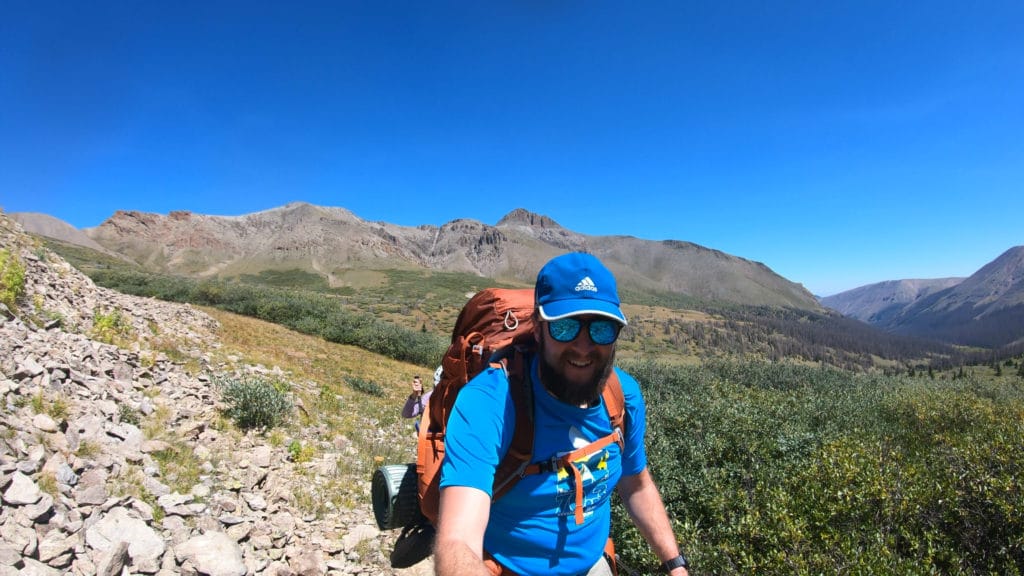
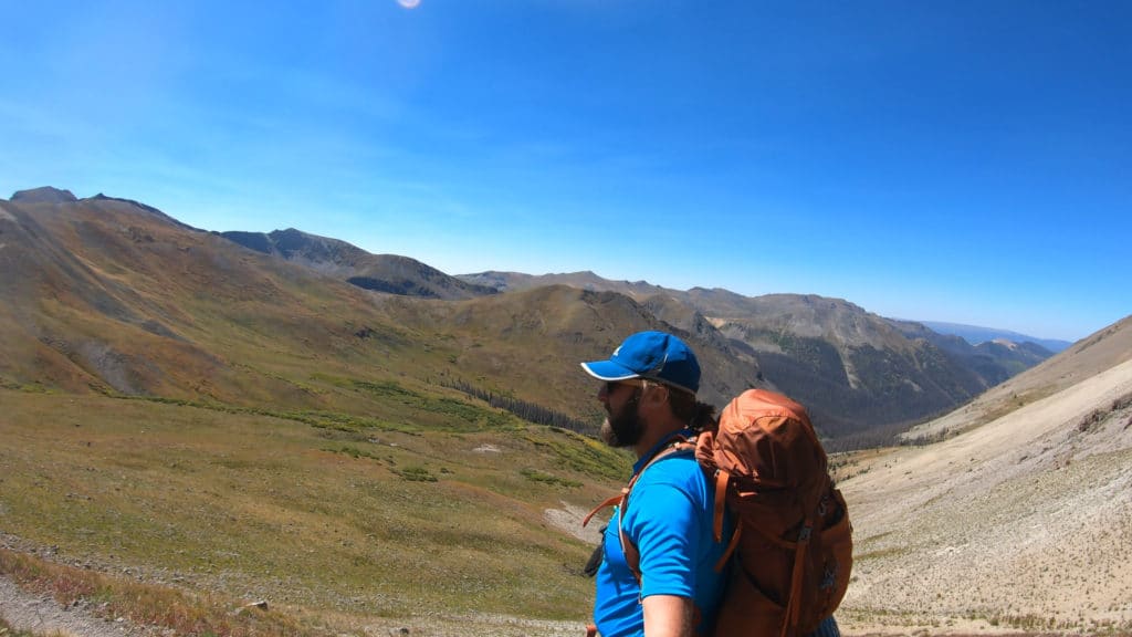
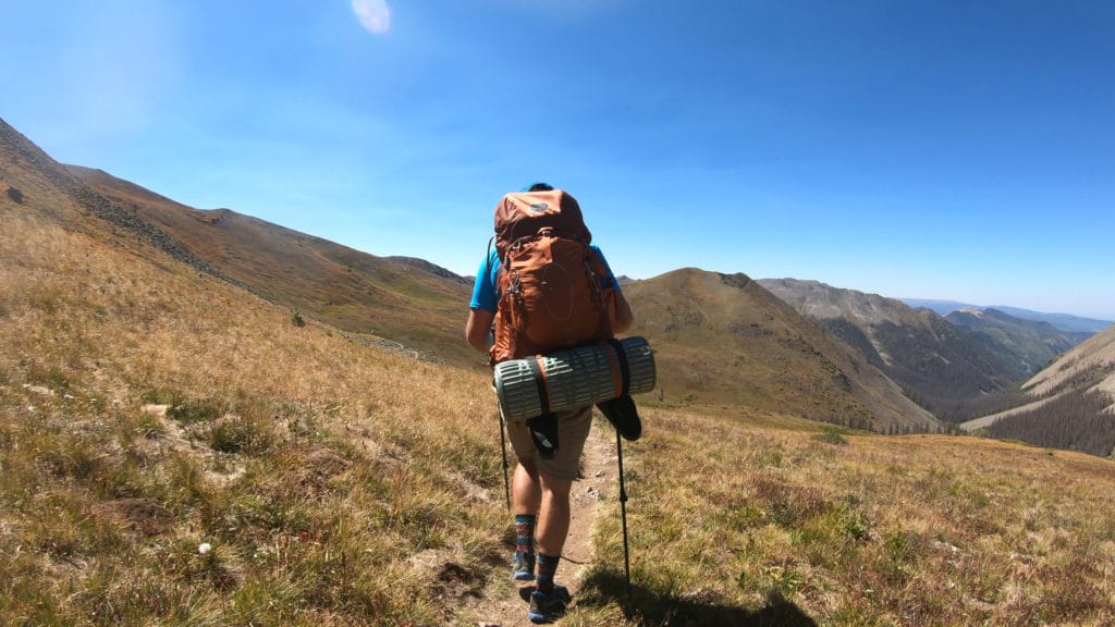
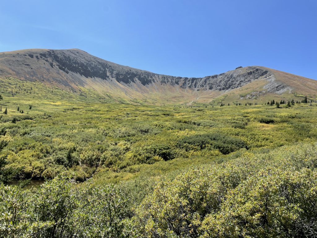
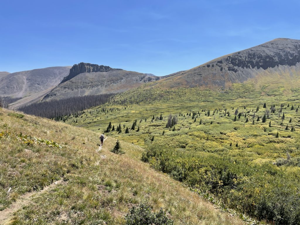
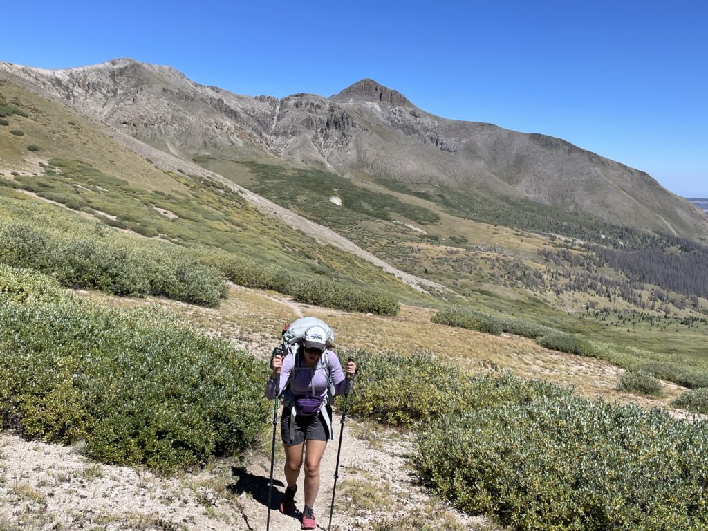
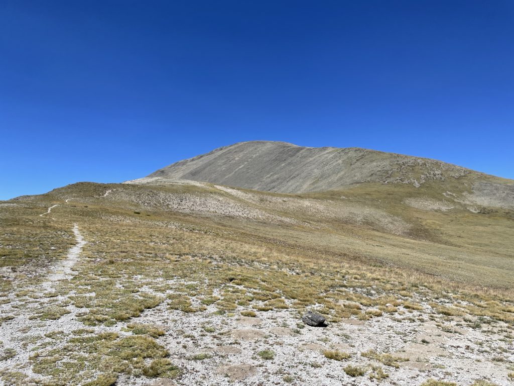
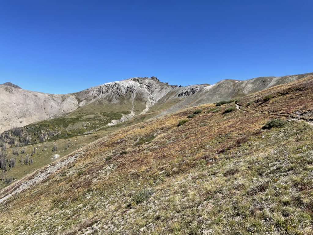
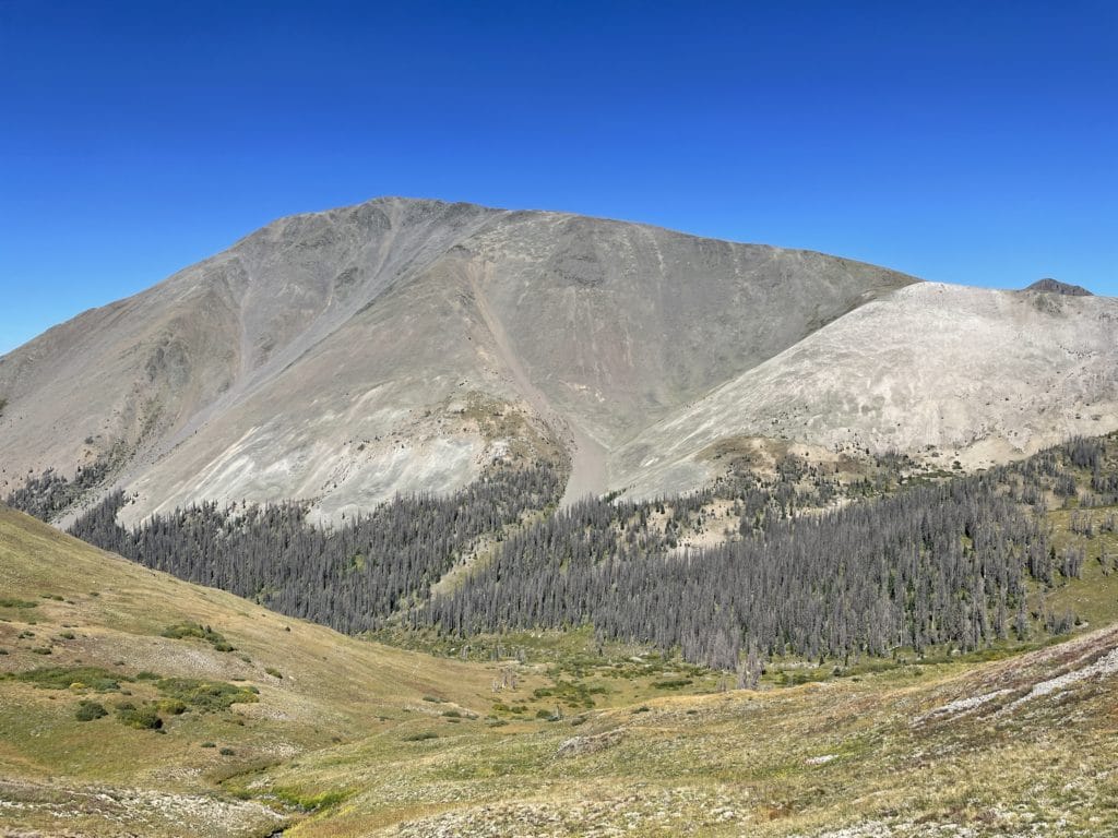
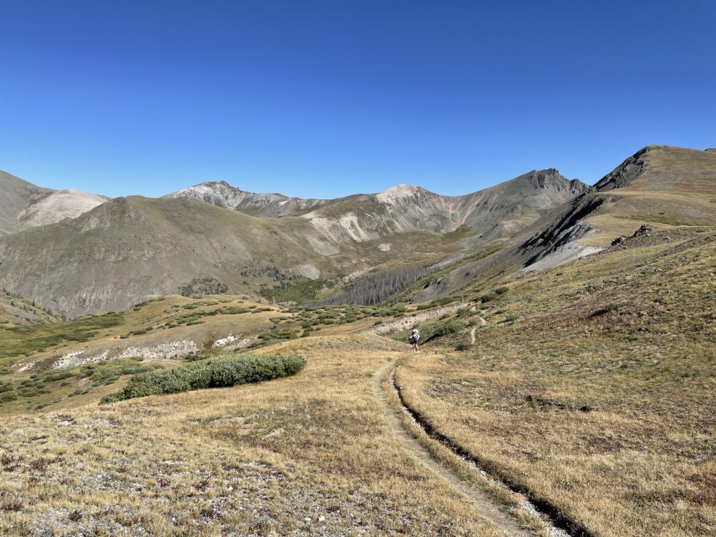
Colorado Trail Segment 20 is a beautiful 12.7 mile stretch of the CT that starts at the Eddiesville Trailhead and ends at San Luis Pass. This segment is basically one long climb for the first 9 miles or so with some rollers in between and a downhill at the end. Hikers on this segment have the option to add on 14er San Luis Peak with an additional 1.5 miles and 1,500ft of elevation each way. Views on this segment are simply fantastic and give CT hikers a taste of what’s to come in the San Juans.
Colorado Trail Segment 20 Quick Facts
Virtual Trail Guide: Colorado Trail Segments 20 & 21
Colorado Trail Segment 20 Rating: ★★★★★ (5/5 Stars)
Distance: 12.7 Miles One Way
Elevation Start: 10,310ft
High Point: 12,612ft
Total Elevation Gain: 3,104ft
Estimated Time to Complete: 6-8 Hours One Way
Difficulty: Moderate to Difficult What does this mean?
Class: Class 1- What does this mean?
Season: June – November (early spring or Fall is best to avoid hot temps)
Directions to Colorado Trail Segment 20
Trailhead: Eddiesville TH & San Luis Pass
Getting Here: Start Trailhead (Eddiesville TH): Getting to the Eddiesville Trailhead requires a lot of patience because the drive is 20+ miles of dirt road. However, a 4×4 is not necessary, just a car with okay clearance. The only time a higher clearance car is necessary is in the spring when the two creek crossings can be higher.
End Trailhead (San Luis Pass): From the town of Creede, take Forest Road 503 for 7.5 miles. If you have a high clearance 4×4 you can drive an additional 1.5 miles to the top parking area (very small). From here hike 1 mile to San Luis Pass.
Parking: At the Eddiesville trailhead, there is a small lot that can fit about 10-12 cars with 2 non plumbing bathrooms located there. For San Luis Pass, there is no parking – just several small areas to park miles away from the pass itself.
Summary
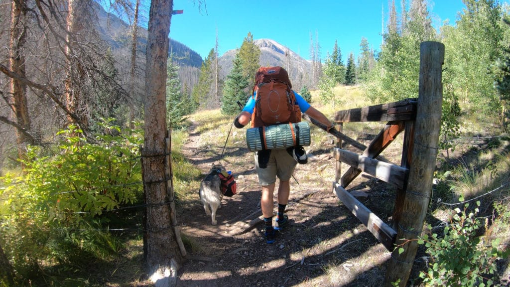
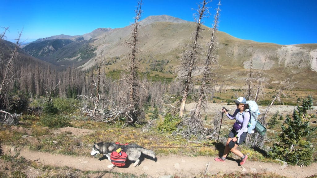
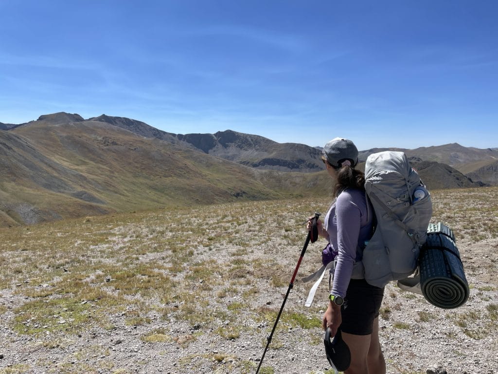
Dogs: Colorado Trail Segment 20 is dog friendly with lots of water sources along the way.
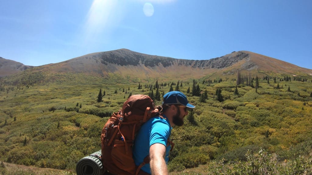
Camping: Camping options are great for the first 8.8 miles and on top of the saddle where you can begin hiking San Luis Peak. However, after this point, there are maybe 1-2 spots but not very many options at all. If you want a campsite that is not dry (has a water source) best bets are to camp in the first 6 miles or so.
Access to Water: CT Segment 20 has plentiful water sources, even later in the season. I don’t have to mention them because you really don’t hike longer than 2 miles without a great water source on this section of the CT.
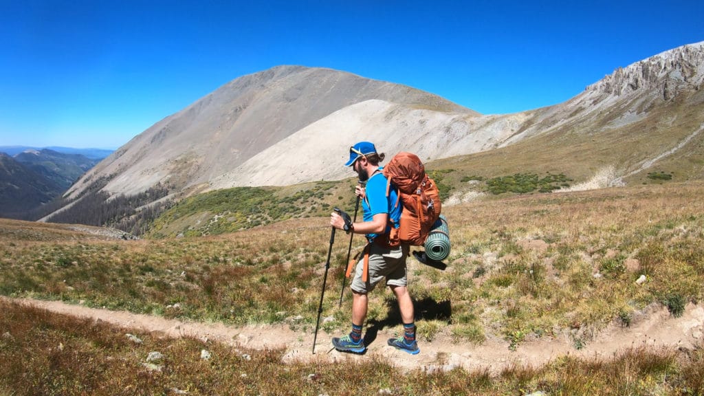
Trail X Factors: San Luis Peak
There are a number of 14ers you can add on to your Colorado Trail journey, but in my opinion, the easiest one to add on to your trip is San Luis Peak. The 3 miles of additional hiking is not easy, but with the peak seeming so close, it will tempt many hikers to leave their heavy bag behind and tag this mountain.
Hike Tip(s): Be sure to check the weather for this segment. If you have bad (storms) weather or very hot weather, this segment is going to not be super fun. Even though you leave the treeline until about halfway into the segment, the remaining 6-7 miles is completely exposed to the elements. This also applies to any hike made up San Luis Peak.
Best Views: Although this segment again starts with cattle land, you quickly leave that behind and have great views on the remainder of the segment. The best views and ones that might leave your neck strained are from miles 8.8 through the end.
Colorado Trail Segments 20 & 21 Hike Route
Gear Needed
- Osprey Atmos 65 Backpack
- Hiking Shoes: https://amzn.to/2Xuvz8U or https://amzn.to/3EcWLh4
- OR Hiking Boots
- Garmin inReach
- Water Filter OR UV Pen
- Headlamp
- Optional: Tent
- Optional: Sleeping Pad
- Optional: Sleeping Bag
- Optional: Cook Kit
- Optional: Stove
- Optional: Hiking Poles
Jackie’s Gear:
Juno’s Gear
Colorado Trail Books:
- Full Version
- Pocket Guide
- *Links included in this description might be affiliate links. If you purchase a product or service with the links that I provide I may receive a small commission. There is no additional charge to you.
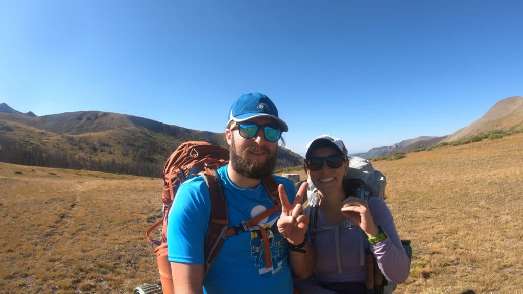
Our Trip to Colorado Trail Segment 20: September 2021
Even though our time on the Colorado Trail was dwindling down, Jackie, Juno and I were excited to tackle our next two segments and the last of the 2021 season. The hiking on this segment was very hard as there was lots of climbing but some of the most beautiful views to date. When we ended the segment at San Luis Pass we were thrilled to continue deeper into the San Juans and some of the most remote hiking the CT has to offer.
3 thoughts on “Colorado Trail Segment 20 Hike Guide”
You mentioned approaching your car at the end of section 21. Did you shuttle a car to the start of section 20?
Hi Julie – yes, we stashed a car at the start of 20.
Did you drive through Cathedral between segments 20-21? I’ll be hiking 20,21 with a vehicle on either end and I’m wondering how that unpaved road is.