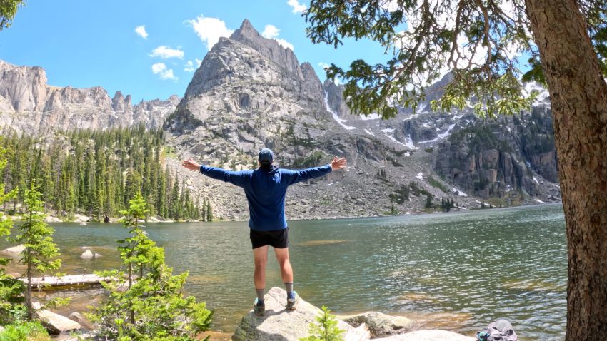
Lone Eagle Peak Solo Flight Hike Guide
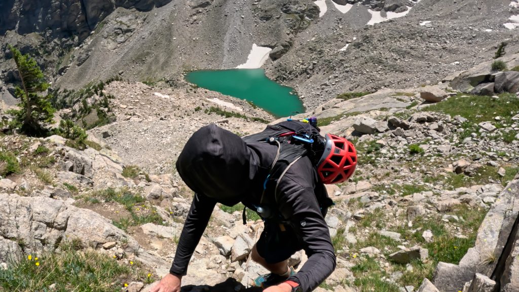
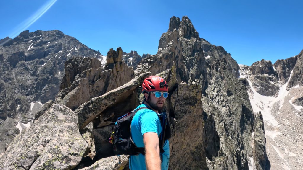
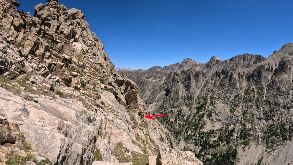
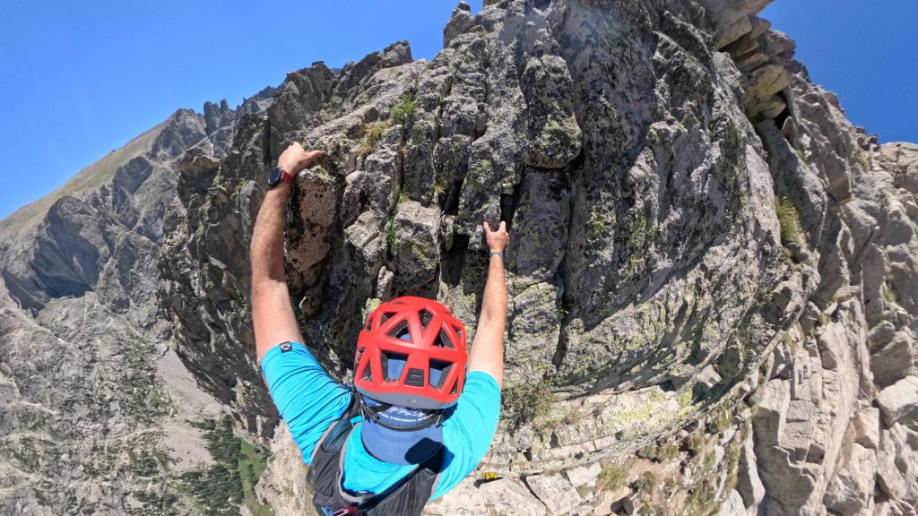
Lone Eagle Peak is a mountain just shy of 12,000ft located in the Indian Peaks Wilderness of Northern Colorado. Although this mountain is not the highest in the area, it is strikingly beautiful with its sharp edges and dramatic “point” of a summit. For hikers (scramblers) the most popular (and only) way to ascend this mountain without technical climbing gear is via the Solo Flight route. Before even starting the scramble, hikers must go about 9 miles to the base of the scramble and then the real fun begins. This Class 4 scramble involves lots of route finding, Class 3 scrambling and a series of exposed Class 4 moves to downclimb and then eventually summit this iconic mountain.
Lone Eagle Peak Quick Facts
Lone Eagle Peak Solo Flight Rating: ★★★★★ (5/5 Stars)
Virtual Trail Guide: Lone Eagle Peak Solo Flight
Distance: 18.5 Miles (From Monarch Lake TH)
Elevation Start: 8,351ft
High Point: 11,946ft
Total Elevation Gain: 4,400ft
Estimated Time to Complete: 13-15 Hours Total (Hiker), 8-10 Hours for a competent trail runner
Difficulty: Difficult – What does this mean?
Class: Class 4 – What does this mean?
Season: June – October: Expect snow outside of these months
Crowds: Low
Directions to Lone Eagle Peak
Trailhead: Monarch Lake (From the West), Multiple Trailheads in Brainard Lake Recreation Area (From the East)
Getting Here: There are two main ways to hike Mirror Lake & Crater Lake but this guide will focus from Western, Monarch Lake, trailhead.
Parking: The parking lot for Monarch Lake is fairly large and generally speaking, you will not have issues finding a spot. There is a non-plumbing bathroom at the trailhead.
Permits/Fee: There is a $5 fee you must pay to access Mirror and Crater Lake for day use. Permits are required for backpacking which are an additional $11.
Permits: A permit is required to camp near Crater Lake June 1st – September 15th each year. In order to purchase one, use this link, enter your group size, start date and then select West of Continental Divide and then scroll down to Crater Lake and select your group size.
Summary
Dogs: While most of this hike is dog friendly, I would absolutely not recommend bringing a dog on the scrambling portion of Lone Eagle Peak.
Camping: Backcountry camping is possible along the trail but a permit is required. You will need to either have a Cascade Creek (if not camping at the lake) or Crater Lake permit. Information on how to obtain one of those can be found above. In addition to backcountry camping there is a nearby campground, Arapaho Bay and more elevated lodging at Arapaho Valley Ranch.
Water: Water is plentiful along this route – you should never need to carry more than a liter.
Make it a Loop: There are endless options to extend a trip to Lone Eagle Peak, the most popular would be going up to Buchanan Pass or Pawnee Pass. Any additional options you decide to do turn this day into 20+ miles.
Hike Tip(s): Route Finding
Admittedly, I really did not have a hard time route finding on Lone Eagle Peak but I am relying on decades of experience including countless scrambles without an official trail. I would highly recommend doing your research beforehand like having a solid GPX file (mine can be found below) and gaining a lot of beta before you set out to this scramble. With such a long approach, getting off trail or lost could add lots of time and make this scramble a lot more difficult than it needs to be.
Trail X Factors: Approach
Before you even start scrambling the 9+ approach will test even the most fit hikers. With this long of day, packing efficiently, having enough calories and a perfect weather window are all mandatory. To add, choices like the right footwear will also have a big impact on your day. You will need something that can handle miles of terrain + offer solid footing on the scrambling section. I went with the Hoka Mafate 5 but also highly recommend the La Sportiva Cyklone. Since the approach to the base of Lone Eagle Peak is so long, Solo Flight is in the conversation for one of the most challenging Scrambles in Colorado.
Best Views: The trail to Lone Eagle Peak is truly one of the best I have ever been on, especially in Colorado. This is a gem of a hike and the views are great from start to finish.
Gear Needed
- Men’s Trail Runners
- La Sportiva Cyklon
- La Sportiva Trango Hiking Boots (Men’s)
- Backpack (Winter)
- Backpack (Summer)
- Base Layers
- T Shirt
- Mid Layer
- Rain Jacket / Shell
- Outer Layer
- Pants
- Shorts
- Socks
- Food & Water
- Optional: Water Filter
- Optional: Garmin inReach
- Optional: Hiking Poles – 120CM
- Optional: Headlamp
- Optional: Climbing Helmet
- Optional: Garmin Fenix Watch
- Optional: GoPro, Joby Tripod, Selfie Stick, GoPro Max 2, Drone, Insta360
- *Links included in this description might be affiliate links. If you purchase a product or service with the links that I provide I may receive a small commission. There is no additional charge to you.
One thought on “Lone Eagle Peak Solo Flight Hike Guide”
Thank you for taking me back to a treasured memory. I summited Lone eagle peak 10 years ago this summer. A big group of friends backpacked to Crater lake and summited the next morning. The exposure on that last ledge system is pretty intimidating. I know I wouldn’t have been able to do it without a bunch of friends around me. Your videos are really descriptive and well done. Thank you.