Square Top Mountain Hike Guide
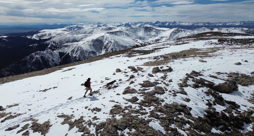
Square Top Mountain is one of the best intro 13er hikes in Colorado, offering a relatively short route to a 13,794-foot summit above Guanella Pass. While neighboring 14er Mount Bierstadt attracts most of the attention, Square Top provides similar alpine scenery, fewer crowds and one of the most rewarding summit experiences near Denver. The trail is suitable for most experienced hikers and dogs thanks to its moderate mileage, limited technical difficulty and easy routefinding as it shares much of the trail with Square Top Lakes. For anyone looking to experience a high-altitude Colorado mountain without committing to a more demanding 14er, Square Top Mountain is an outstanding choice.
Square Top Mountain Quick Facts
| Category | Details |
| Hike Rating | ★★★★ (4/5) |
| Area | Front Range – Colorado |
| Trailhead | Guanella Pass |
| Distance | 6.85 Miles Total |
| Route Type | Out and Back |
| Elevation Start | 11,621ft |
| Highest Elevation | 13,794ft |
| Total Elevation Gain | 2,650ft |
| Estimated Time to Complete | 4-5 Hours Total |
| Difficulty | Moderate – What does this mean? |
| YDS Class | Class 1 –What does this mean? |
| Exposure | Low |
| Best Season | June – November |
| Activity Type | Hiking, Trail Running |
| Crowds | Low |
| Dogs Allowed | Yes |
| Permit/Fee | No |
| Last Hiked Date | 10.18.26 |
Square Top Mountain Virtual Trail Guide
In this virtual trail guide you’ll see the trailhead, route conditions, navigation tips, difficult sections, summit views, what to expect throughout the hike and of COURSE, my unique experience on this hike.
Button: Subscribe to My Youtube
Hike Route Map & GPX
The map below shows the route that I followed for this hike. GPX files are available through a suggested donation of $3-$5. Creating and maintaining hiking guides, videos and GPX files takes a tremendous amount of time. Your support helps keep The Virtual sherpa running, covers website hosting costs and allows me to continue creating free hiking content.
After making a donation, click the button below to send me an email with the hike name in the subject line. I’ll send the GPX file as soon as possible.
Square Top Mountain Directions & Parking
Protected Area Type: National Forest
Protected Area Name: Pike National Forest
Trailhead: Square Top Lakes
Coordinates: 39.597371752821175, -105.71312739681264
Directions to Trailhead: Square Top Lakes
Driving Directions: Square Top Lakes starts at the top of Guenalla Pass located in between Georgetown and Grant Colorado. This road is paved but is open seasonally, for the latest road status, please visit this page.
Parking: The Square Top Mountain parking lot and trailhead is rather large, room for about 20-25 cars but will fill up on most weekends and holidays during the Summer due to popular 14er Mt Bierstadt sharing the same parking lot.
Permits or Reservation/Fee Description: No permits or fees are required to hike this 13er.
Square Top Mountain Overview
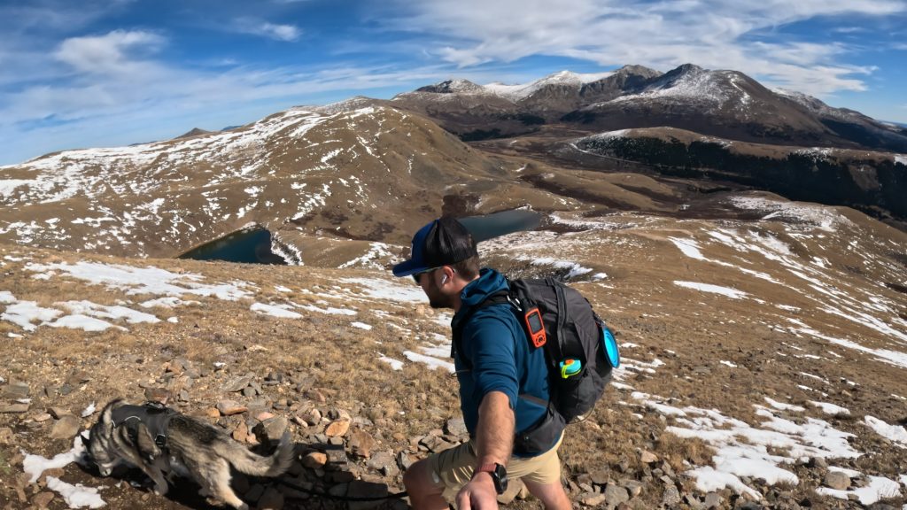
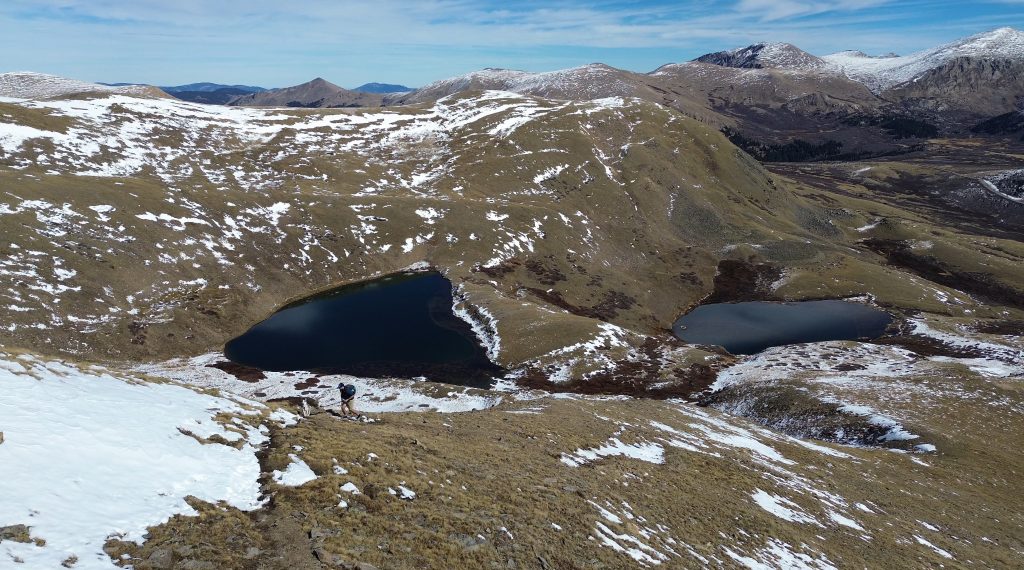
The hike begins from the Square Top Lakes Trailhead at the summit of Guanella Pass. From the parking area, follow the well-established trail west as it descends slightly into a broad alpine basin. The route remains above treeline for the entire hike, passing through open tundra with views of Mount Bierstadt and the Sawtooth Ridge behind and Square Top Mountain ahead.
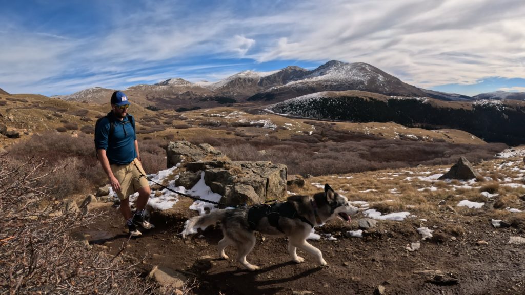
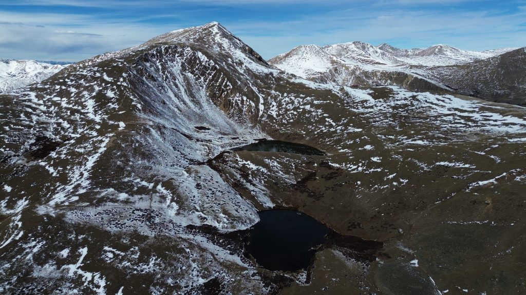
After roughly 1.5 miles, the trail reaches Lower Square Top Lake. Continue past the lake as the route gradually climbs through the upper basin toward Upper Square Top Lake. Although this trail can be muddy, the path remains easy to follow and gains elevation at a manageable grade.
Before reaching Upper Square Top Lake, leave this trail and take a left on the South Park trail for a little bit and then take a right up towards Square Top Mountain. The maintained trail eventually fades, but a well-worn social trail typically guides hikers up the broad eastern face of the mountain. This is the steepest portion of the hike, gaining several hundred feet in a relatively short distance before reaching the ridgeline. Once on the ridge, the route becomes much more gradual but full of false summits. The summit of Square Top Mountain is flat and open but a large cairn signifies the true top.
Plan Your Hike
Check Weather: Square Top Mountain
Camping: There are some dispersed camping options and campgrounds located on Guanella Pass including: Guanella Pass Campground, Geneva Park Campground, Burning Bear Campground and Clear Lake Campground. All of these campgrounds are seasonal and typically very popular.
Bathrooms: There are two vault bathrooms at the trailhead.
Hazards: Loose Rock, Lightning
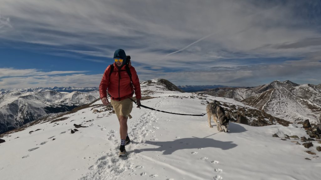
Dog Description: Square Top Mountain is a dog friendly hike for most outdoor dogs. The terrain near the summit can get steep and a little loose but not too hard for dogs’ paws. As always, please pick up after your dog.
Water Sources: Water from Square Top Lakes is usually available starting near the beginning of this hike. However, once you leave the lakes, there are no more water sources on this 13er hike.
Drones: Square Top Mountain is a drone friendly hike but please avoid flying over crowds of people and please always follow all drone regulations.
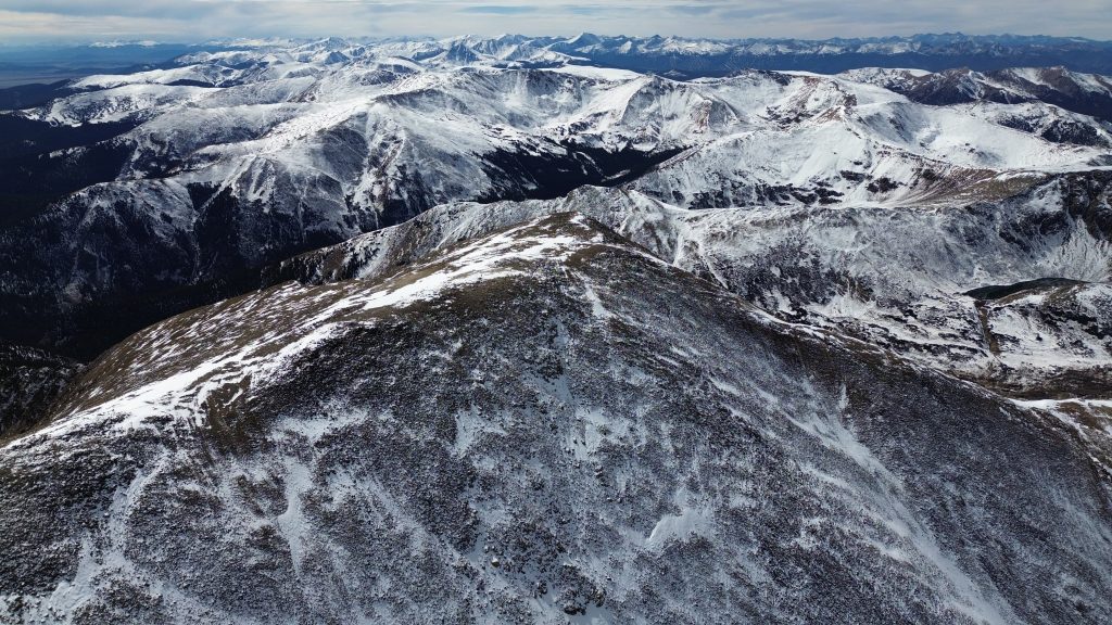
Hike Tips: This entire hike is above treeline and with zero protection from any storm that rolls in. Pick a good weather day and be sure to look out for the winds as hiking Square Top Mountain could be quite miserable if the winds are high on your hiking day. Additionally and a bit of a spoiler alert, be prepared for lots of false summits.
Best Views: From the time you leave the trailhead to the time you reach the summit, Square Top Mountain delivers excellent hiking views. From the summit, views West are absolutely wild and looking East to the Sawtooth on Mt Bierstadt and to Mt Blue Sky is also super unique.
Primary Attractions: Summit Views, Alpine Lake, Solitude
Gear Needed
Required Gear
- 14er Day Hike Packing List
- Men’s Trail Runners
- La Sportiva Trango Hiking Boots (Men’s)
- Osprey Backpack (Summer)
- Base Layers
- T Shirt
- Mid Layer
- Rain Jacket / Shell
- Outer Layer
- Pants
- Shorts
- Socks
- Running Hat – Save 15% Using “DMRCMickey15”
- Sunglasses
- Food & Water
Seasonal Gear
Optional Gear
- Optional: Water Filter
- Optional: Garmin inReach
- Optional: Hiking Poles – 120CM
- Optional: Headlamp
- Optional: Garmin Fenix Watch
- Optional: GoPro, Joby Tripod, Selfie Stick, GoPro Max 2, Drone, Insta360
- *Links included in this description might be affiliate links. If you purchase a product or service with the links that I provide I may receive a small commission. There is no additional charge to you.