Engineer Mountain Hike Guide
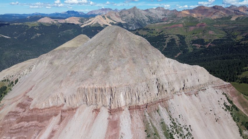
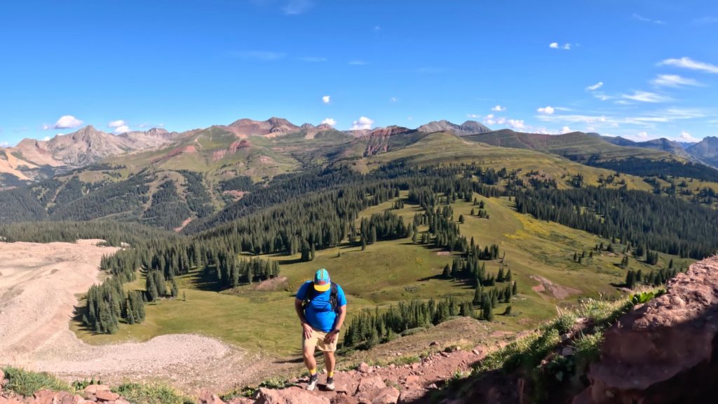
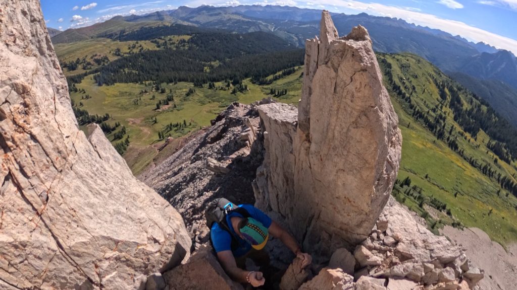
Engineer Mountain is one of the most recognizable peaks near Durango, Colorado, rising dramatically above Coal Bank Pass along the Million Dollar Highway. The hike to the summit packs a lot into a relatively short outing, with steep climbing, sweeping views of the San Juan Mountains, and a fun hands-on scramble near the top. It’s not a traditional walk-up summit, though, and the final section can be intimidating for hikers who aren’t comfortable with exposed terrain. However, I would consider Engineer Mountain a good intro level scramble for those looking to gain Class 3 experience. In this Engineer Mountain hiking guide, I’ll cover everything you need to know before hitting the trail, including mileage, elevation gain, difficulty, parking, route details, scrambling, and what to expect on the way to the summit.
Engineer Mountain Quick Facts
Engineer Mountain Rating: ★★★★ (4/5 Stars)
Distance: 6.5 Miles
Elevation Start: 10,631ft
High Point: 12,968ft
Total Elevation Gain: 2,300ft
Estimated Time to Complete: 3-4 Hours Total
Difficulty: Moderate – What does this mean?
Class: Class 3 – Good Intro Scramble – What does this mean?
Season: Year Round: Expect snow and avalanche risk November – March
Crowds: Low
Directions to Engineer Mountain
Trailhead: Coal Bank Pass
Getting Here: From Durango, head North on US 550 for 34 miles until you reach Coal Bank Pass. It’s about a 30-40 minute drive.
Parking: There are two spots to park for Engineer Mountain: at Coal Bank Pass and at the Engineer Mountain trailhead linked above. Coal Bank Pass has non plumbing restrooms but besides that, the parking areas are basically the same. If you want to save a little bit of distance, park at the Engineer Mountain trailhead. Both lots should not fill up on most weekends.
Permits/Fee: There is no permit required or fee for hiking the trail up to Engineer Mountain.
Summary
Dogs: Generally speaking, Engineer Mountain is not dog friendly. Between the Class 3 scrambling and sharp rock that covers the slopes of the mountain, this is not a good spot for a dog. However, if your dog has LOTS of experience scrambling (good with Class 3) and has a way to protect its paws, this COULD be an option for the right dog. Please always pick up after your dog.
Camping: There are not great immediate camping options for Engineer Mountain. Your best bet would be to find a dispersed spot along US 550 (more options North past Coal Bank Pass vs South).
Water: There are no good water sources along this hike, bring what you need.
Extend Your Hike: If you summit Engineer and want more hiking, don’t worry there are endless options. Before you head up the Engineer Summit trail, you will briefly walk on the Engineer Mountain trail which extends for miles and miles to both the North and South. This is a great spot for more hiking, trail running or mountain biking.
Hike Tip(s): Don’t Under Estimate the Final Summit Push
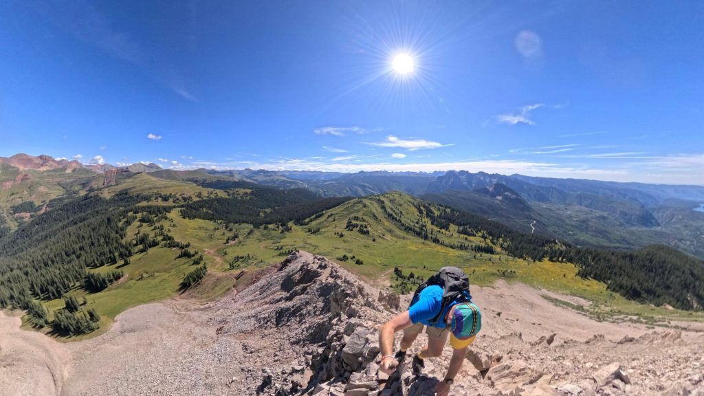
Once you get through the Class 3 section of the hike, it could be easy to look the small amount of remaining trail to the summit of Engineer. Although relatively short, this next section has lots of loose rock and social trails making for an easy recipe for something to go wrong. Tread carefully here, especially if there are other hikers around you. Don’t trust any rock without testing it first and this especially applies for the descent.
Trail X Factors: Good Intro Scramble
Although Engineer Mountain is rated as Class 3, I believe it provides an excellent intro level scramble for those looking to test out or further develop their skills on higher rated terrain. The Class 3 moves are relatively short and protected followed by some exposed class 2 moves which help a hiker understand what that feeling is like as well. On the way down, you also get to feel what its like to downclimb exposed class 2 and class 3 moves which will be a skill any hiker needs to have if they want to progress to harder scrambles.
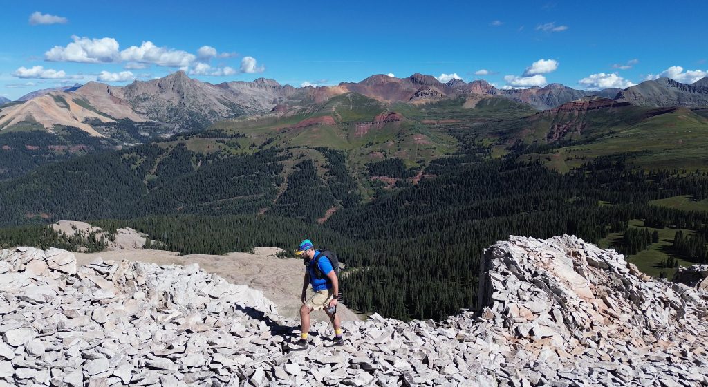
Best Views: I have been fortunate enough to do a lot of hiking in the San Juans. For me, the views on the way up to the summit and on the top of Engineer Mountain itself rival some of the best I have seen. For the effort, this hike delivers excellent views once you crack treeline to the time you stand on top of this 12,968ft summit.
Gear Needed
- Men’s Trail Runners
- Hoka Mafate 5
- La Sportiva Cyklon
- La Sportiva Trango Hiking Boots (Men’s)
- Running Vest
- Running Vest Larger
- Backpack (Winter)
- Backpack (Summer)
- Sunglasses
- Running Hat – Save 15% Using “DMRCMickey15”
- Base Layers
- T Shirt
- Mid Layer
- Rain Jacket / Shell
- Pants
- Shorts
- Socks
- Food & Water
- Optional: Water Filter
- Optional: Garmin inReach
- Optional: Hiking Poles – 120CM
- Optional: Headlamp
- Optional: Garmin Fenix Watch
- Optional: GoPro, Joby Tripod, Selfie Stick, GoPro Max 2 , Drone, Insta360
- *Links included in this description might be affiliate links. If you purchase a product or service with the links that I provide I may receive a small commission. There is no additional charge to you.