French Mountain Hike Guide: Colorado Centennial 13er
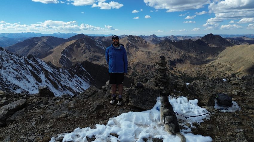
French Mountain is one of Colorado’s Centennial 13ers, a designation given to the state’s highest 100 peaks and offers summit views that rival nearby Mt. Elbert without any of the crowds. Located in the heart of the Sawatch Range near Halfmoon Creek, the route features expansive alpine tundra, dramatic views of Bull Hill, Casco Peak and Colorado’s highest peak, Mt. Elbert along with a short but enjoyable ridgeline scramble near the summit. Unlike many popular Colorado 14ers, French Mountain sees significantly less traffic, making it an excellent option for hikers looking to enjoy big mountain scenery and a quieter summit experience.
This hike is best suited for experienced hikers who are comfortable with off-trail travel, route finding and Class 2 terrain. The biggest challenge on French Mountain is navigation, as there is no established trail for a significant portion of the route. While not excessively long or technically demanding, French Mountain requires confidence in rugged terrain and should not be underestimated.
French Mountain Quick Facts
| Category | Details |
| Hike Rating | ★★★ (3/5) |
| Area | Sawatch Range – Colorado |
| Trailhead | Halfmoon Creek |
| Distance | 10.5 – 11 Miles Total |
| Route Name | Southeast Ridge |
| Route Type | Out and Back |
| Elevation Start | 10,264ft |
| Highest Elevation | 13,942ft |
| Total Elevation Gain | 3,700ft |
| Estimated Time to Complete | 5-7 Hours Total |
| Difficulty | Moderate What does this mean? |
| YDS Class | Class 2 What does this mean? |
| Exposure | Low |
| Trail Season | June – October (expect snow outside of this period) |
| Crowds | Low |
| Activity Type | Hiking |
| Dogs Allowed | Yes |
| Permit/Fee | No |
| Last Hiked Date | 10/4/26 |
French Mountain Virtual Trail Guide
In this virtual trail guide you’ll see the trailhead, route conditions, navigation tips, difficult sections, summit views, what to expect throughout the hike and of COURSE, my unique experience on this hike.
Hike Route Map & GPX
The map below shows the route that I followed for this hike. GPX files are available through a suggested donation of $3-$5. Creating and maintaining hiking guides, videos and GPX files takes a tremendous amount of time. Your support helps keep The Virtual sherpa running and offsets website hosting costs.
After making a donation, click the button below to send me an email with the hike name in the subject line. I’ll send the GPX file as soon as possible.
French Mountain Directions & Parking
Protected Area Type: National Forest
Protect Area Name: San Isabel National Forest
Trailhead: Halfmoon Creek
Coordinates: 39.15055182675751, -106.45539692791928
Driving Directions: For most of the drive to French Mountain via Halfmoon Creek Road, you’ll be on a well-maintained dirt Forest Service road. Most vehicles should have no problem reaching the Mt. Massive Trailhead parking area, located roughly 4 miles from the start of the road.
Beyond the Mt. Massive Trailhead, road conditions become significantly rougher for the remaining 2 miles. A high-clearance AWD or 4WD vehicle is strongly recommended for this section.
After 6 miles, turn onto FR 110J and depending on conditions, some vehicles may be able to cross Halfmoon Creek and park just after the creek crossing. Successfully crossing the creek can eliminate a water crossing on foot and shorten the hike slightly. Always check current water levels and road conditions before attempting to drive across the creek.
Road closures make this road partially inaccessible during late Fall, Winter and Spring months. Typically you can drive close to the standard Mt Elbert trailhead, about 3 miles from the Half Moon Creek crossing.
Parking Information: This hike does not have an official parking area or lot. There are a few spots to leave a car before or after the Halfmoon Creek crossing. Generally, you will have no issue with finding parking for this hike.
Permits or Reservation/Fee: French Mountain does not require any fee, permit or reservation.
French Mountain Overview
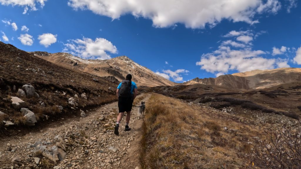
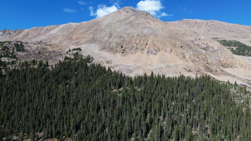
French Mountain begins from the Halfmoon Creek area west of Leadville and climbs steadily through forest on a dirt road before emerging into the expansive alpine terrain that defines much of this hike. For more than 4 miles of this hike, the route follows a 4×4 road making navigation extremely easy. As the road breaks treeline, hikers are rewarded with increasingly impressive views of the surrounding Sawatch Range including Bull Hill, Casco Peak and Mt. Elbert.
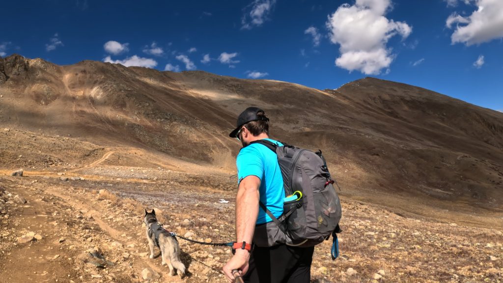
Once the 4×4 road ends near an old mining area, the remainder of the hike is without a trail. Hikers have the option to either ascend up a steep slope or find a social trail that eventually ends up in the same scenario, higher up on the slope. While the terrain is generally straightforward, hikers will need to identify the most efficient route across tundra, talus and gentle ridgelines leading toward French Mountain’s summit. Careful route finding can make the ascent feel relatively straightforward while poor route choices may add unnecessary effort and elevation gain.
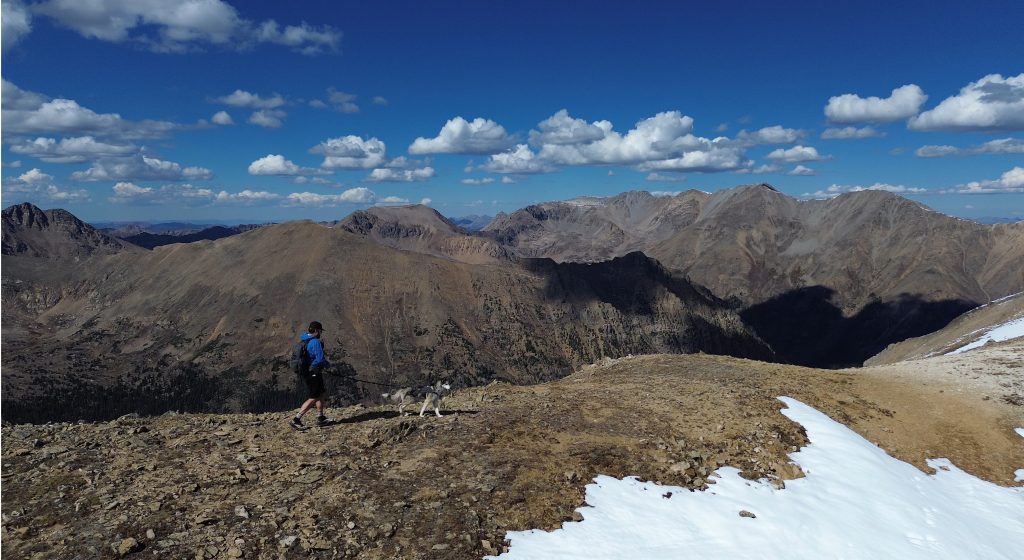
Near the summit, the route becomes more interesting with a short stretch of Class 2 scrambling along the ridge. The scrambling is enjoyable without being overly difficult and serves as a fun finish to the hike. From the summit, hikers are treated to panoramic views extending across the Sawatch Range with Mt. Elbert dominating the western skyline. On a clear day, French Mountain offers some of the best views in the area and chances are, you will have the entire mountain to yourself.
Plan Your Hike
Check Weather: French Mountain
Camping: French Mountain offers excellent camping opportunities thanks to its location along Halfmoon Creek Road. Numerous dispersed campsites can be found throughout the area, including several near the Mt. Massive Trailhead. Most sites are first-come, first-served and can accommodate tents, vans and small campers.
During summer weekends, campsites closer to the trailhead can fill quickly due to their popularity with hikers attempting Mt. Massive, Mt. Elbert and other nearby peaks. Arriving the night before is recommended if you plan on securing a campsite close to the trailhead. Campgrounds in the area include: Halfmoon East, Halfmoon West and Mt Elbert Creek.
Hazards: Loose Rock, Weather Exposure, Route Finding
Bathrooms: None – closest are down the Forest Road several miles at other trailheads.
Dogs: French Mountain is a dog friendly hike. Please always pick up after your dog and keep them on a leash around any wildlife.
Water Sources: Although much of the hike follows a creek, I would be a little hesitant to filter or pump water higher up towards the mining areas. Once above the treeline, water becomes a lot less convenient to find.
Drones: This hike is drone friendly but be sure to always follow all drone regulations.
Why Hike This Trail?
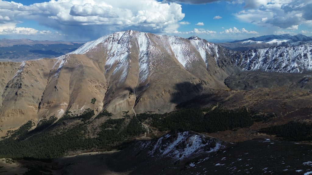
Best Views: Once above treeline, the views on the way to the summit of French Mountain are fantastic. Mt Elbert, Bull Hill, Casco, Frasco Benchmark are some of the many Sawatch Range mountains you will be able to see. From the summit of French Mountain, the views are simply stunning, arguably just as good as neighboring Mt Elbert.
Primary Attractions: Fall Foliage, Summit Views, Solitude
What makes this hike special?: Although French Mountain can be hiked on its own, its also common to link this mountain with neighboring Casco and Frasco Benchmark for a fun Class 2 ridge scramble. Additionally, French Mountain is a solid option for a Winter or Spring ski/snowboard line as well.
Gear Needed
Required Gear
- Men’s Trail Runners
- Hoka Mafate 5
- La Sportiva Cyklon
- Backpack (Summer)
- Sunglasses
- Running Hat – Save 15% Using “DMRCMickey15”
- Base Layers
- T Shirt
- Mid Layer
- Rain Jacket / Shell
- Pants
- Shorts
- Socks
- Hiking Poles – 120CM
- Food & Water
Seasonal Gear
- Backpack (Winter)
- La Sportiva Trango Hiking Boots (Men’s)
- Microspikes: https://amzn.to/3lAPOle
- Gaiters: https://amzn.to/3aPKpyk
- Gloves: https://app.rockporch.com/prdlink/6w1MP2PkTV
Optional Gear
- Water Filter
- Garmin inReach
- Headlamp
- Garmin Fenix Watch
- Running Vest
- Running Vest Larger
- Film Gear: GoPro, Joby Tripod, Selfie Stick, GoPro Max 2 , Drone, Insta360
- *Links included in this description might be affiliate links. If you purchase a product or service with the links that I provide I may receive a small commission. There is no additional charge to you.
More Hikes in the Area
- Casco Mountain
- Casco – Frasco Benchmark – French Ridgeline
- Mt Massive
- Mt Elbert