7:30 Mine Trail Silver Plume Colorado Hike Guide
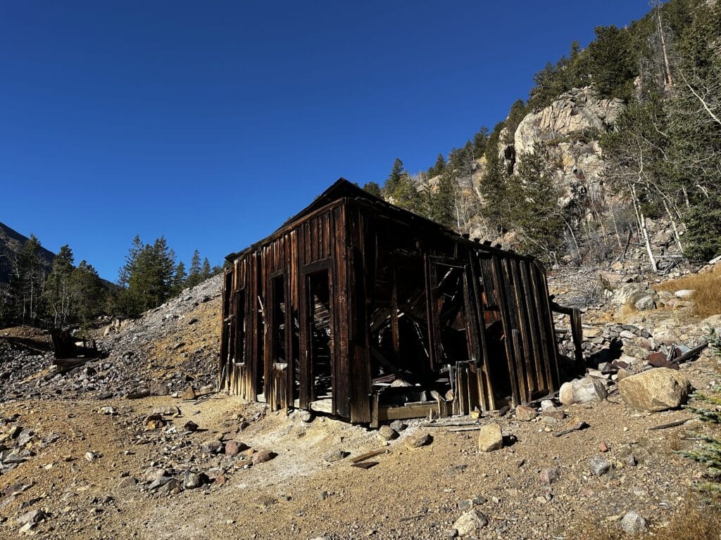
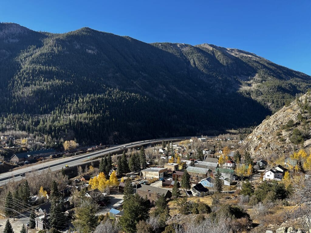
The 7:30 Mine trail is a short hike located in the historic mining town of Silver Plume, Colorado. This short yet steep hike begins just outside of town and works through a number of historic mining sites. In fact, the trail itself is mostly located where an old cart path used to be. This mine was located at the end of this hike and was said to take workers extra long to get to. Most miners started their work at 7AM but those in this mine started at 7:30 due to the extra long hike up, hence the name. If you are into history and unique views, this hike is the one for you!
7:30 Mine Trail Quick Facts
7:30 Mine Trail Rating: ★★★ (3/5 Stars)
Distance: 4 Miles RT
Elevation Start: 9,200ft
High Point: 10,400ft
Total Elevation Gain: 1,200ft
Estimated Time to Complete: 2-3 Hours RT
Difficulty: Easy to Moderate What does this mean?
Class: Class 1 – What does this mean?
Season: Year-round – Expect Snow November – May
Directions to the 7:30 Mine Trail
Trailhead: 7:30 Mine
Getting Here: From I70, take the Silver Plume exit 226 and head north into the very small main street area. Near the coffee shop is the best place to park since there is no parking at the TH.
Parking: This hike has extremely limited/non-existent parking. Your best bet is to park on Main Street and make the short hike up to the trailhead. There are no public restrooms at the start or along this hike.
Fee: N/A.
Summary
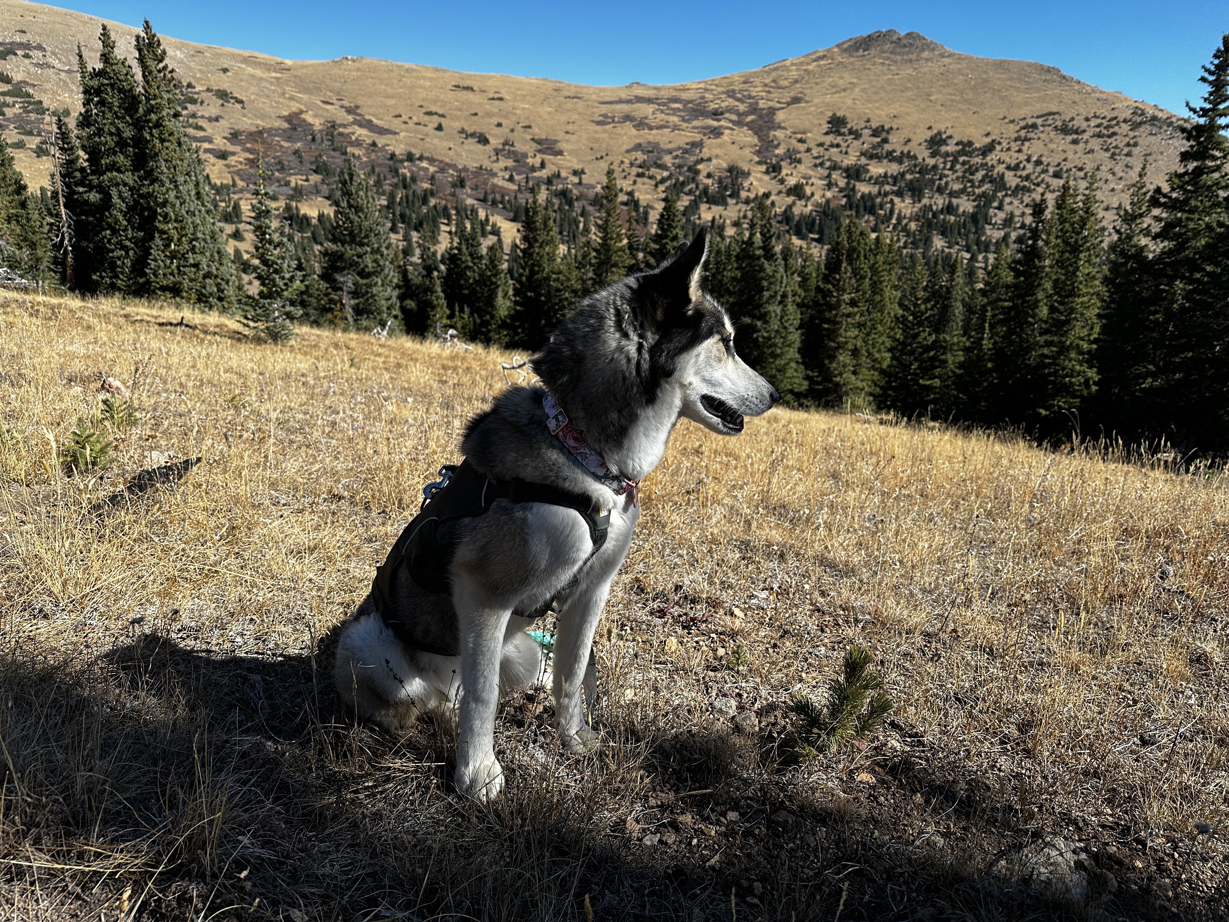
Dogs: This is a dog friendly hike but they are requested to be kept leashed.
Camping: Your only option for camping on the 7:30 Mine Trail is far above the end of the trail near Browns Peak. This requires an extra .5 miles of hiking each way with another 300ft (at least) of elevation gain. I wouldn’t recommend camping in this area, there is just too much private land and less than ideal camping spots.
Hike Xfactor(s): Hiking + History
This hike has a number of QR codes that link to short historical facts from the area which I really appreciated. I tend to gravitate towards history, especially as it relates to mining in Colorado so I really enjoyed this aspect of the 7:30 Mine trail.
Hike Tip(s):
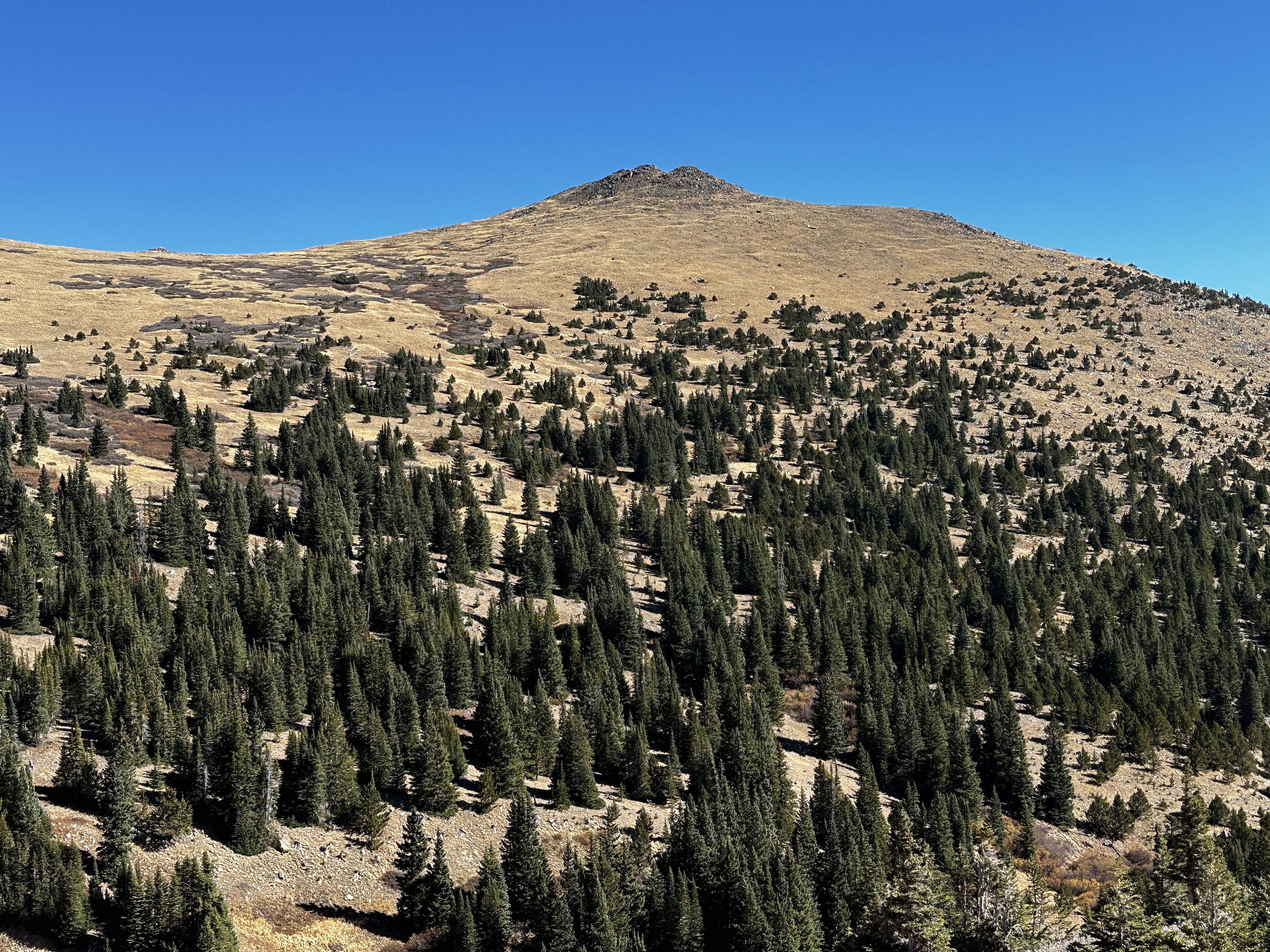
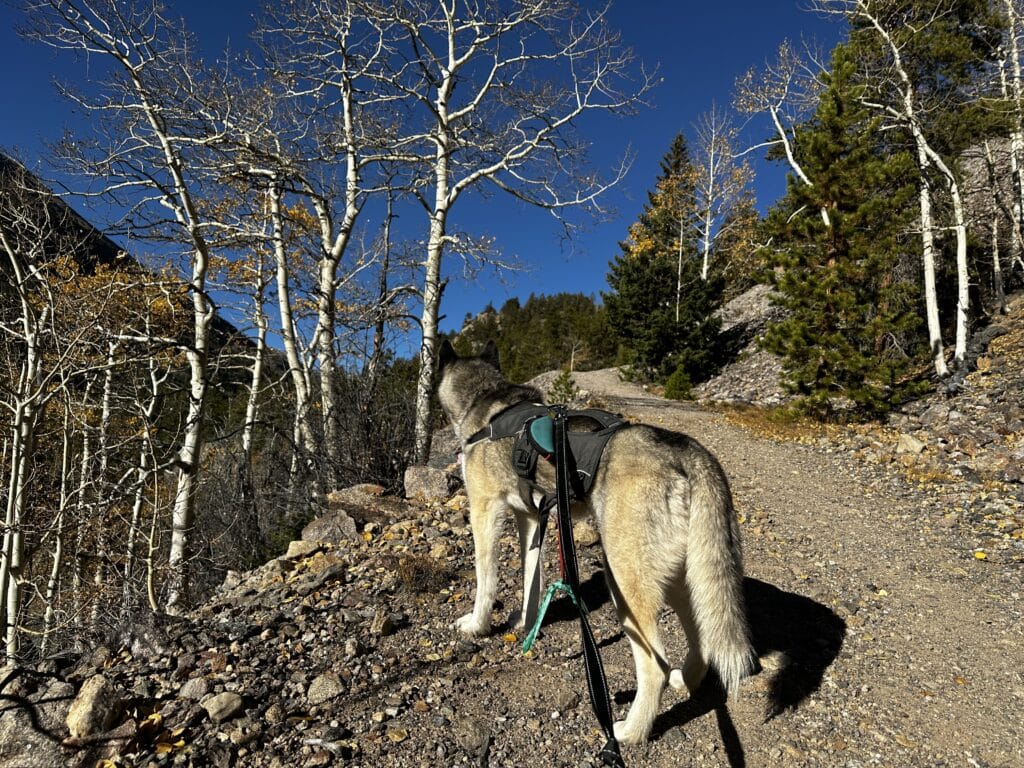
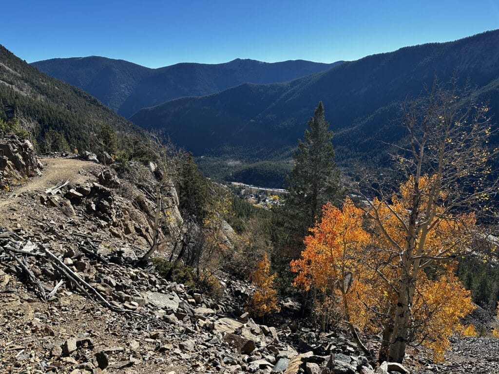
- This trail can be quite beautiful during the fall if you catch the leaves right. Much of this slope was mined and wiped out by avalanches which left the Aspens to repopulate the area as of late.
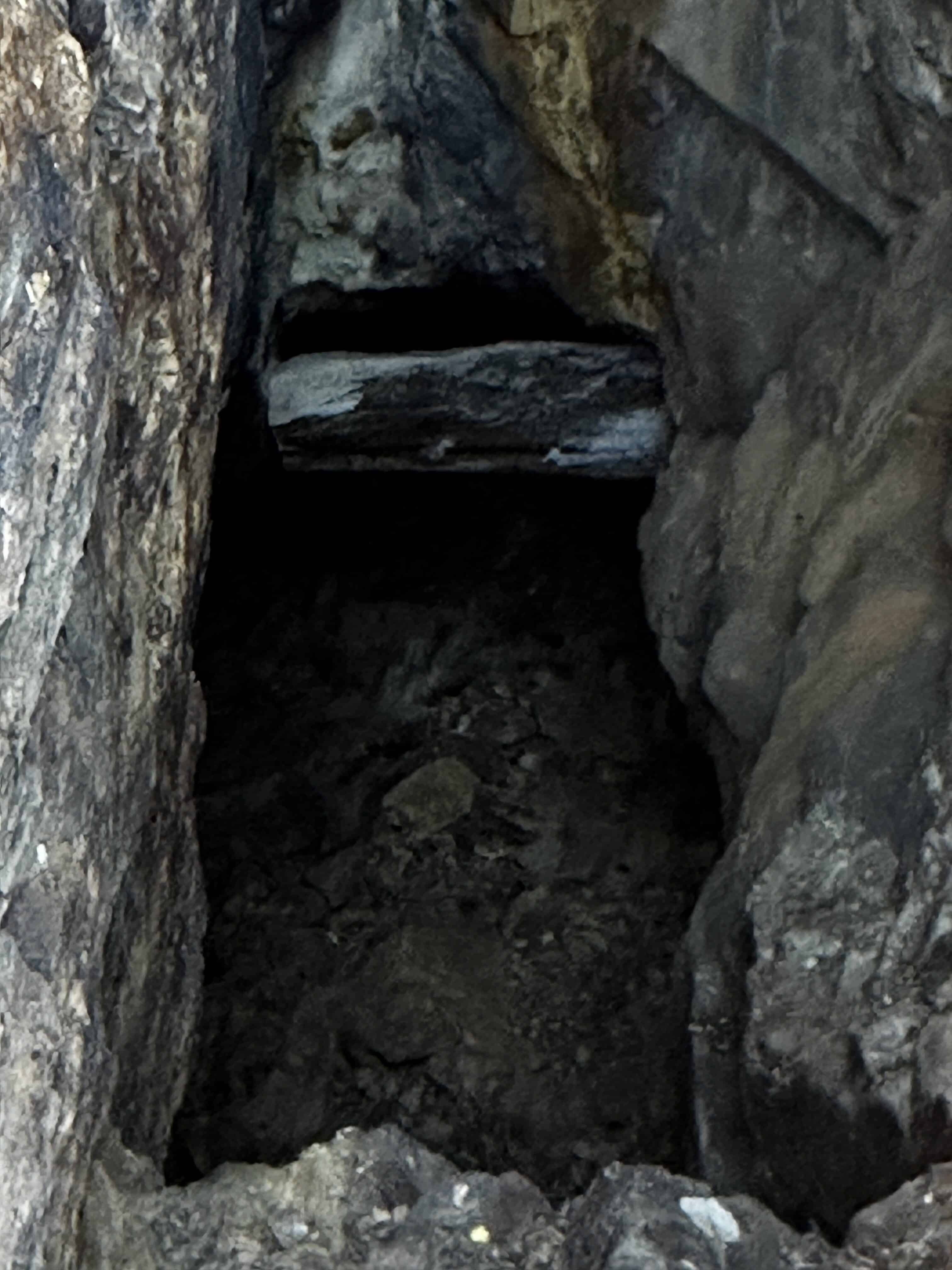
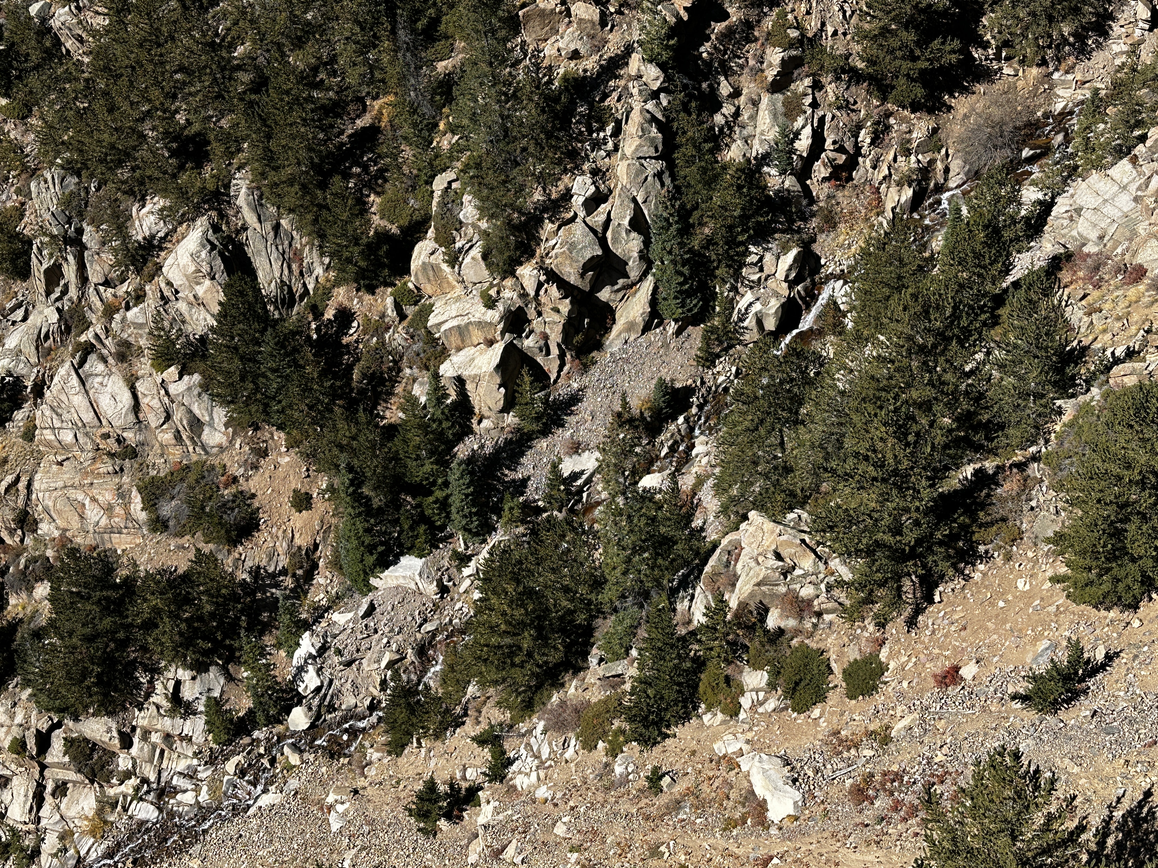
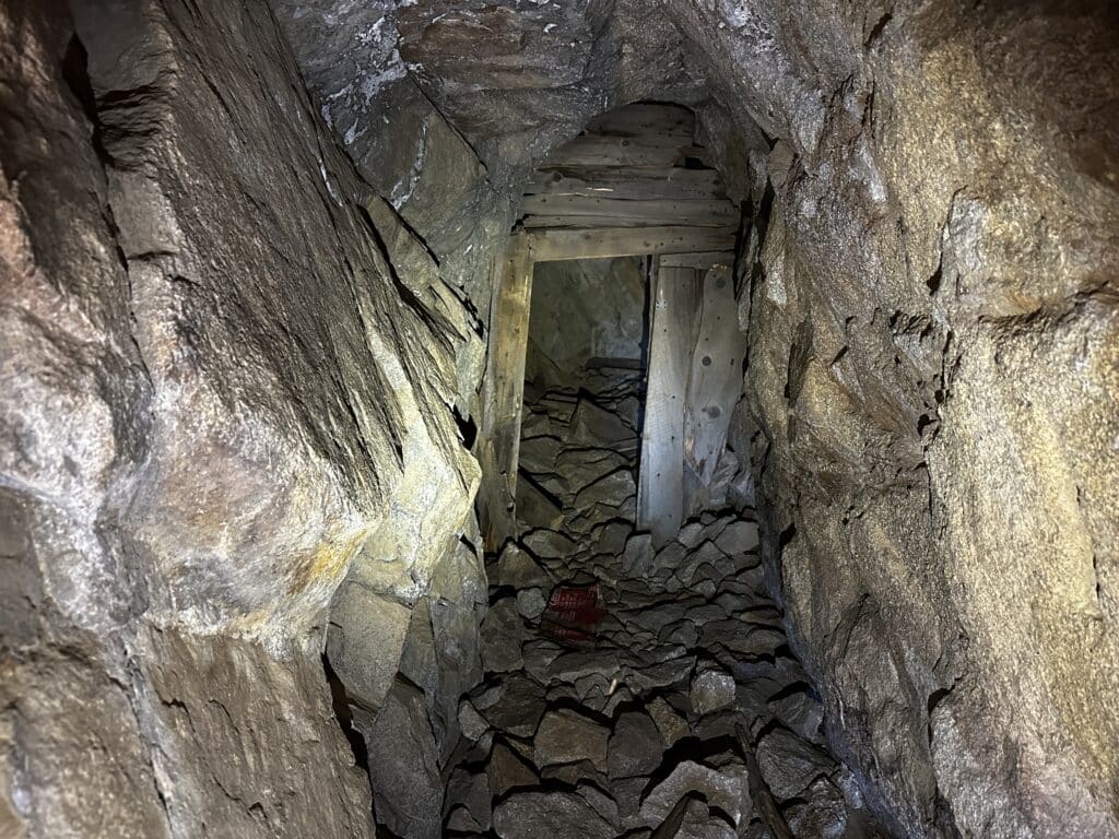
- Be sure to bring a headlamp to explore some of the mines. Many of them are blocked off but it was still cool to peak down into them with a bright light. I couldn’t imagine working down into some of these mineshafts.
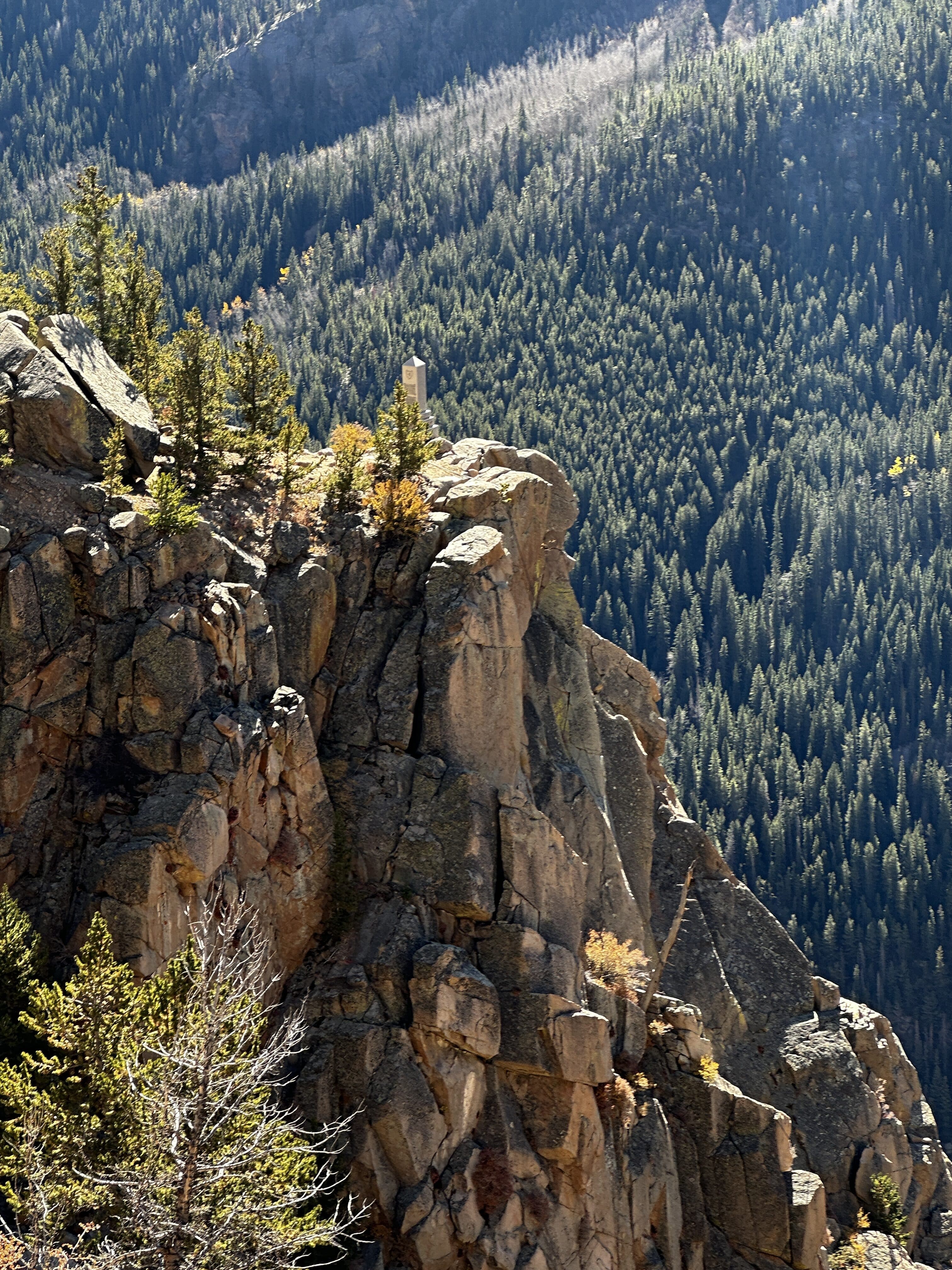
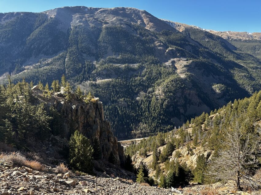
Best Views: The Griffin Monument at the end of the official trail offers the best views for most of the year. However, like I mentioned above, if you do hit the foliage right on this trail, there are a number of other spots that could be equally beautiful.
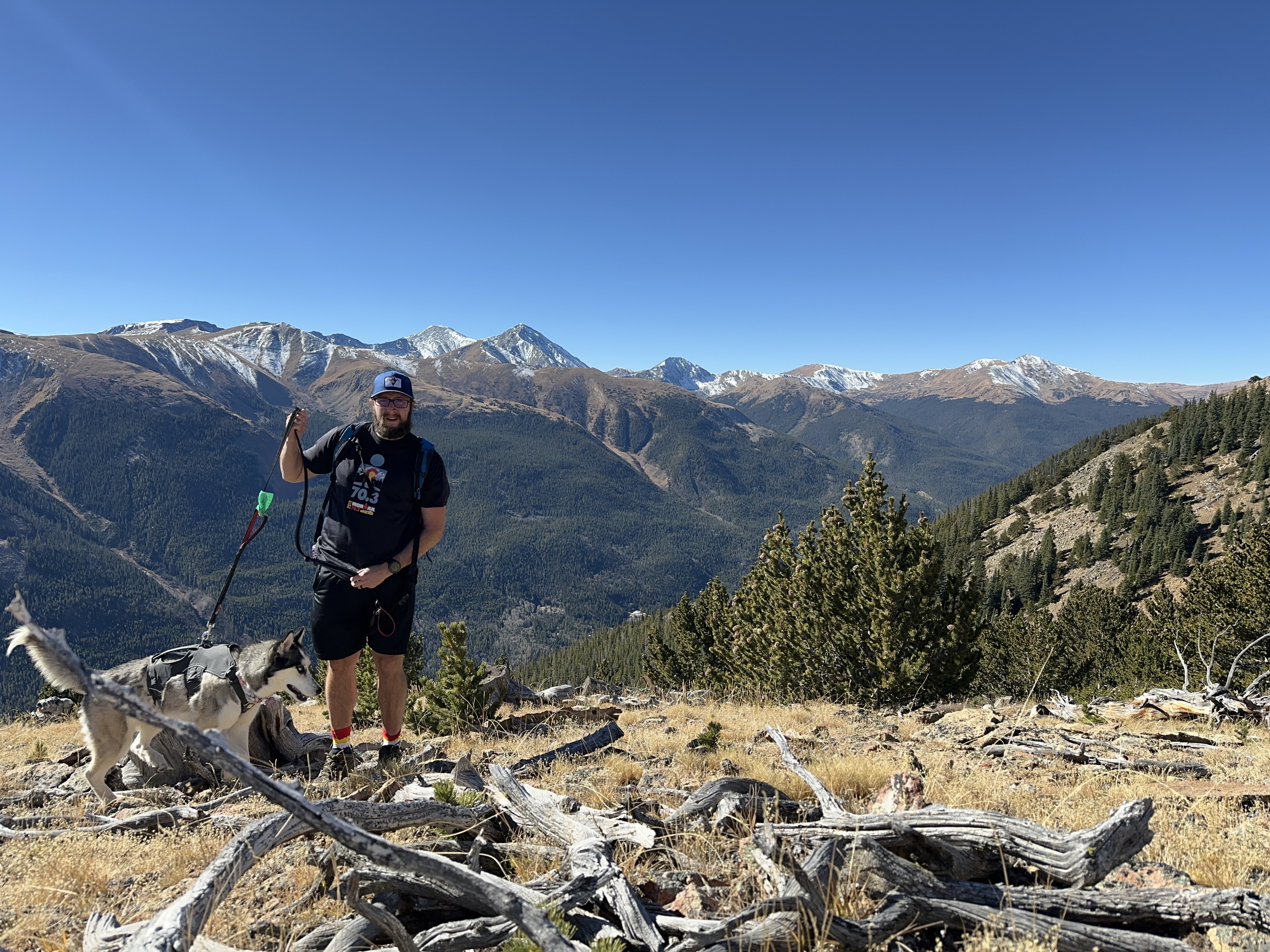
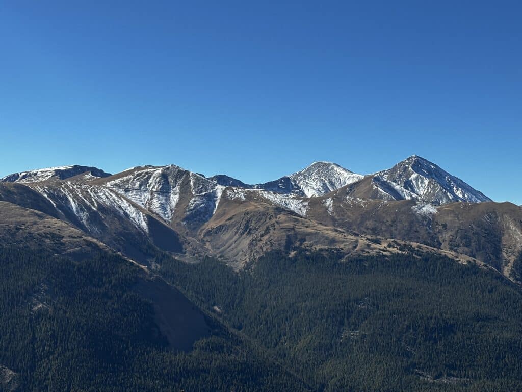
Make it a Loop: This hike is an out and back but there are options to extend your hiking with two mountains located above the Mine: Brown Mountain and Democrat Mountain. Adding either of these to your day requires quite a bit of additional elevation gain on a very faint (and sometimes non-existent) trail. Aria and I extended our hike by adding Brown Mountain which provided some pretty cool views of Grays & Torreys Peak , Grizzly Peak and Mt Sniktau. Hiking to Browns Peak added about 2 miles with another 1,200ft of elevation gain.
7:30 Mine Trail Hike Route
*We did hike up to Brown Mountain in addition to 7:30 Mine Trail which is absolutely not part of the standard hike.
Gear Needed
- Men’s Trail Runners
- Women’s Trail Runners
- La Sportiva Trango Hiking Boots (Men’s)
- La Sportiva Trango Hiking Boots (Women’s)
- Backpack (Winter)
- Backpack (Summer)
- Food & Water
- Optional: Garmin inReach
- Optional: Hiking Poles – 120CM
- Optional: Headlamp/Flashlight
- Optional: Garmin Fenix Watch
- Optional: GoPro, Joby Tripod, GoPro 360
- Optional: Drone
- *Links included in this description might be affiliate links. If you purchase a product or service with the links that I provide I may receive a small commission. There is no additional charge to you.
My Trip to the 7:30 Mine Trail: October 2022
Jackie and I were headed off for a trip to California in the evening, but I had the morning to try and tire out Aria before she headed to “camp” for the week. I wanted something close to home but also not a massive day. I had driven by Silver Plume a million times but besides the dispensary right off the highway, had never explored any hiking in the area or the town itself. I found the 7:30 Mine Trail (listed on other sites as something else) and thought it would be perfect.
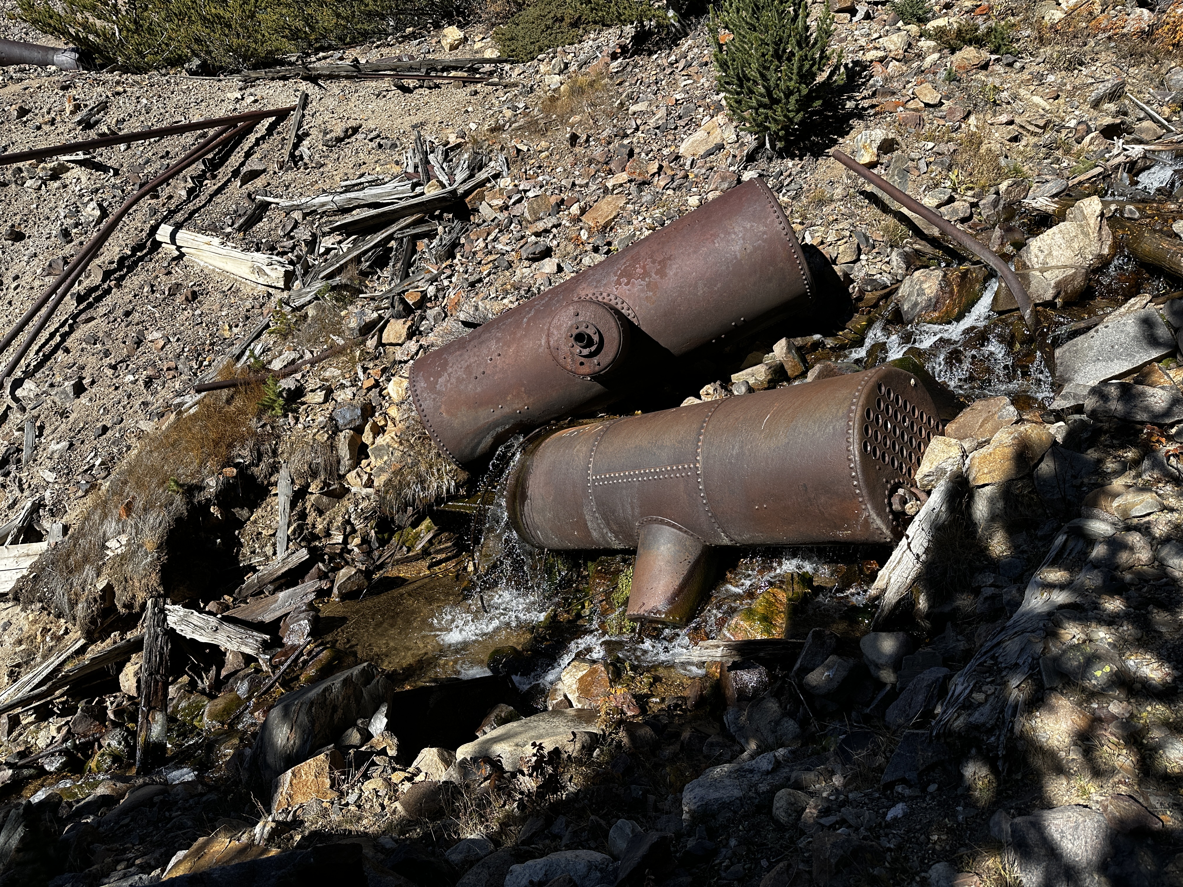
I admit that the trail had less mine shafts then I was expecting, but the historical elements were really cool. The hiking was a consistent uphill but never really was super steep which was nice. To break up the switchbacks, there were a number of QR codes along the way that provided historical facts about the area.
The Griffin Monument at the end was unique and the views outstanding. I didn’t love the constant noise from I70 though. We reached the end of the trail in no time and I decided to add on some additional hiking. I thought it would be fairly quick, but the trek up to 11,600ft Brown Mountain took a while since there was no official trail and the hiking was STEEP.
We got back to the car in about 3.5 hours and both Aria and I enjoyed the hike on likely the last beautiful fall day before the snow moved in for the season. I am not sure if the 7:30 Mine Trail would be a repeat for me, but it was good to explore a new area!