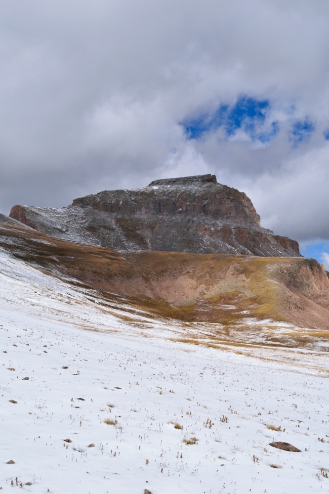
Uncompahgre Peak & Wetterhorn Peak 14er Hike Guide
Uncompahgre Peak & Wetterhorn Peak are a pair of remote 14ers located in the San Juans of southern Colorado. Typically hiked separate, this is an easy and relatively unknown way to link together these mountains. Uncompahgre is a boring mountain with a very small portion of class 2 scrambling. Wetterhorn is one of my favorite 14ers with some class 3 scrambling once you get on the ridge and a bit more exposure towards the summit. I would recommend this pair of mountains to more seasoned hikers because of the elevation gain and long distance. Both mountains can be hiked separately for a much easier day.
Uncompahgre Peak & Wetterhorn Peak Quick Facts
Virtual Trail Guide: Uncompahgre & Wetterhorn Peak
Uncompahgre Peak Rating: ★★ (⅖ Stars)
Wetterhorn Peak Rating: ★★★★★ (5/5 Stars)
Distance: 16.30 Miles RT (11 RT to Uncompahgre Peak, 5.3 RT to Wetterhorn Peak) – Add additional 1.4 miles if starting from lower TH
Elevation Start: 10,740 ft (from upper TH) About 10,000 ft from lower TH
Uncompahgre Peak Elevation: 14,308 ft
Wetterhorn Peak Elevation: 14,015 ft
Total Elevation Gain: 6,352 ft
Estimated Time to Complete: 10 – 12 hours RT (6 – 7 to Uncompahgre, 4 – 5 to Wetterhorn, add additional hour if parking at lower TH)
Difficulty: Moderate to Difficult What does this mean?
Class: Uncompahgre – Class 2, Wetterhorn – High Class 3 – What does this mean?
Season: July – September (expect snow outside of this period)
Directions to Uncompahgre Peak & Wetterhorn Peak
Trailhead: Matterhorn Creek
Getting Here: From Lake City, its about 11 miles to the Matterhorn Creek trailhead (which is where you start the hike to Uncompahgre Peak & Wetterhorn Peak.) From the center of town, take turn onto 2nd avenue. Take a left at the end of the road (Bluff St/CO Rd 20). From here, the road turns into dirt but is passable for most vehicles. It can be rough in spots, but it does not turn into 4WD/AWD until about 9 miles into the road. As you drive, keep an eye on your odometer or the small green mile signs on the right side of the road. After 9 miles, the road does close seasonally (December – May). From here, take a right onto North Henson Creek Road. The road is more rough from here until the lower TH, as of 2024, it was in pretty rough shape but is still passable for most AWD vehicles with careful driving. Continue another 2.5 miles or so, where you will reach the Matterhorn Creek trailhead sign. If you want to continue to the proper trailhead, take a right up the rough 4WD road for another .7 miles. While it is “possible” to take a passenger car up, I would not recommend driving up here unless you have a higher clearance 4×4. The road has many deep holes and large rocks scattered all over the road and its very narrow. There are almost no areas to turn around until you are half way up. You can enter “Matterhorn Creek Trailhead” into your favorite navigational device.
Fees: None
Parking: Uncompahgre Peak & Wetterhorn Peak from the Wetterhorn Creek trailhead is free to park at but there are no bathrooms. If you park at the lower TH, there is a small area to park and the upper parking area can fit about 5-10 cars.
Summary
Dogs: Uncompahgre Peak is dog friendly, but I would not consider Wetterhorn Peak dog friendly unless your dog is used to steep class 3 rock. I don’t think the issue would be getting up, but rather getting down the mountain.
Camping: Surprisingly, for how remote Uncompahgre Peak & Wetterhorn Peak are, they do not have the best camping options. During your drive to the trailhead, there are scattered camping spots along the first 9 miles and a handful more once you turn onto North Henson Creek road. Near the trailhead (upper or lower) there are really not that many decent options to camp. While this area is pretty remote for hikers, you will be competing with 500 people from Texas who are in town using their off road vehicles. No hard feelings Texas, I just see more white and black license plates in Lake City than any other state (including Colorado.)
Make it a Loop: The hike to Uncompahgre Peak & Wetterhorn Peak is comprised of two out and back hikes. You could make this hike a lollipop loop by taking a different route (either winter route of Uncompahgre or adding Matterhorn Peak.)
Trail X Factors: Trail Finding
Uncompahgre Peak & Wetterhorn Peak are not like navigating through the dense uncharted bush of the Amazon, but if you hike them from Matterhorn Creek trailhead, you need to know the way. Uncompahgre is very straight forward, but navigating over to the peak and up Wetterhorn involves some basic route finding/research. On your way over to Uncompahgre from Wetterhorn, take a right to leave the standard trail up to Wetterhorn, another right, and two lefts to get onto the standard trail of Uncompahgre (if you are unsure, check out the map at the trailhead of Matterhorn Creek.)
Once you are on the ridge of Wetterhorn Peak, there are a million different cairns and trails to follow. In general, stay left until you reach the final portion of the summit, where you will want to go right and then back left up the mountain. The steep cliffs towards the top make the way fairly evident. If you see something that does not look like Class 3, you are probably in the wrong area.
Hike Tip(s): If you want to pair Uncompahgre Peak & Wetterhorn Peak together, I would recommend hiking Uncompahgre first. My reasoning for this is that the peak is farther away, so if the weather turns, you run out of energy etc. you have knocked out the farthest peak first. Wetterhorn is more technically challenging, so if you knock it out first and run out of energy heading over to Uncompahgre, you have a long slog back to your car. You could easily do them in either order, but I think mentally, it was nice to know that after I hiked Wetterhorn, I was a short 2ish miles away from the car.
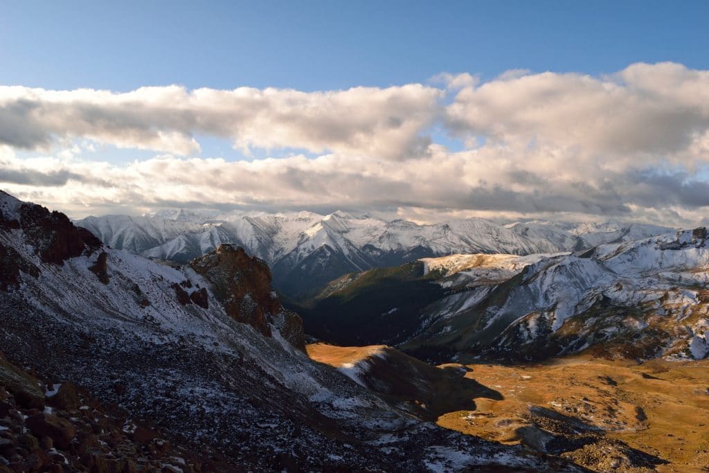
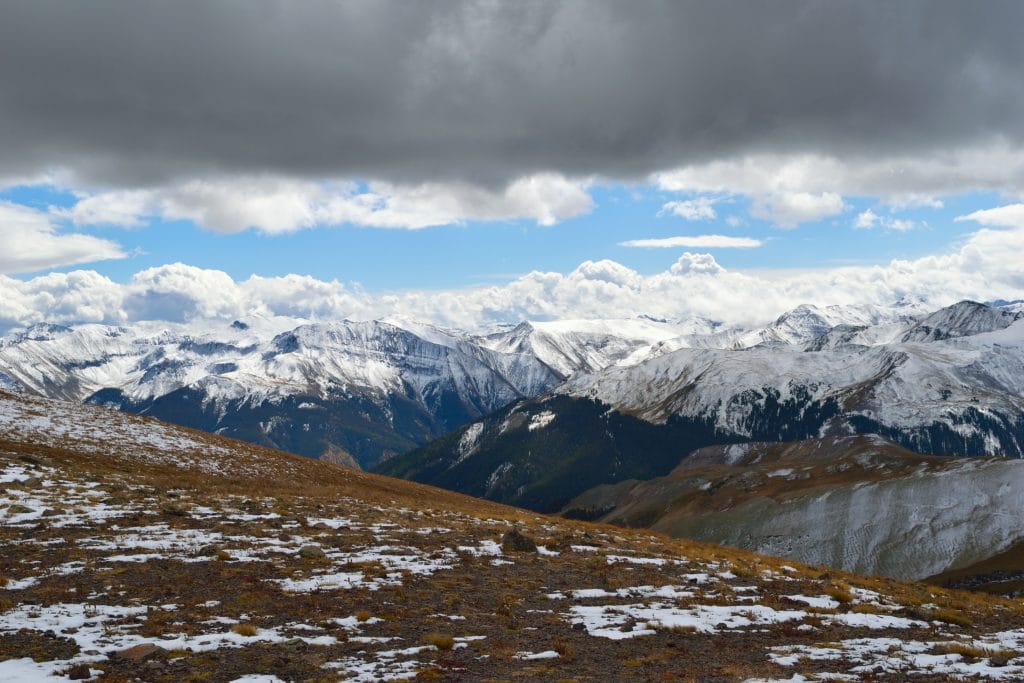
Best Views: Uncompahgre is a unique peak and looks more like a tall bluff in Nebraska than a 14,000 foot peak. The approach to both mountains offers spanning views of Uncompahgre Peak & Wetterhorn Peak and the basins/valleys that surround each of them. This is a great hike in the early fall/later summer when snow begins to fall or in the summer during wildflower season. Honestly though, the views anywhere in this part of the state are insanely beautiful.
Uncompahgre Peak & Wetterhorn Peak Hike Route
Displays route ascent of Uncompahgre and Wetterhorn
Gear Needed
- 14er Day Hike Packing List
- Men’s Trail Runners
- Women’s Trail Runners
- La Sportiva Trango Hiking Boots (Men’s)
- La Sportiva Trango Hiking Booths (Women’s)
- Backpack
- Food & Water
- Optional: Climbing Helmet
- Optional: Garmin inReach
- Optional: Hiking Poles
- Optional: Headlamp
- Optional: Garmin Fenix Watch
- Optional: Camera and Lens
- Optional: GoPro, Joby Tripod
- *Links included in this description might be affiliate links. If you purchase a product or service with the links that I provide I may receive a small commission. There is no additional charge to you.
My Trip to Uncompahgre Peak & Wetterhorn Peak: September 2017
Uncompahgre Peak
Its crazy how different seasons can be year over year here in Colorado. During the fall of 2016, snow started late and I was able to hike through October and even into November with relatively little snow. However, 2017 was not that type of season. Forecasts during the last week of September were calling for feet of snow at high elevations, slamming the door shut on “summer” hiking. I had to travel for much of October, so wanted to take advantage of one of the last summer hiking weekends of the year. I made the long drive down to Lake City during the last weekend of September 2017 with a plan to knock out Uncompahgre Peak & Wetterhorn Peak in the same day.
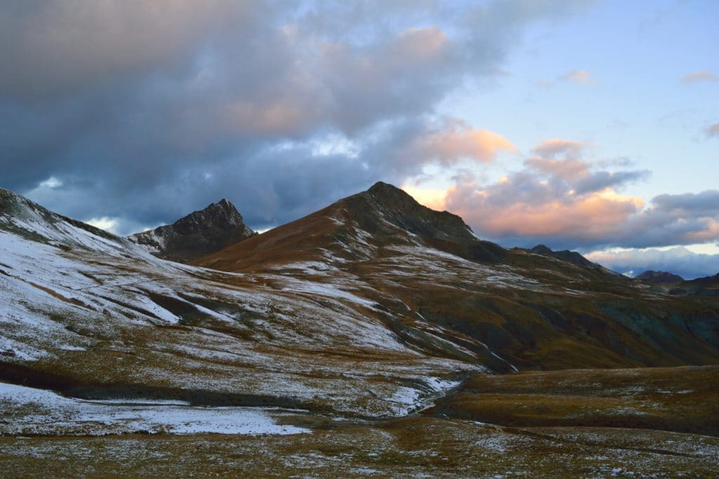
I made the 11 mile drive with relative ease. There were no other cars along the dirt road, so I made great time. When I pulled up to the lower Matterhorn Creek trailhead, I parked my car and did a short recon walk up the rough 4WD road. It didn’t look that bad and I thought I could make a trip up to the upper trailhead. Anything to save a bit of walking right? It’s not like I had drove my ass all the way hear to hike 15+ miles. I love my Subaru, but its clearance is about as high as a banana standing end to end. I slowly drove the car up the rocky, rough road and only scraped a few times in the first couple of sections. As I ascended higher, the road got much more rough and I thought this was really stupid. With how slow I was driving, I could have easily walked this in about the same amount of time. After a few more cringe worthy scrapes on the rocky road, I made it up to the upper trailhead and set-up camp. It was almost dark, so I made a quick dinner, small fire and headed to bed.
When I woke up to my alarm at 4AM, I peaked out of my tent and saw lightning in the direction I was going to be hiking later that day. NOPE! I immediately set my alarm for an hour later and went back to bed. 5AM may seem so early to many of you, but for me, it was actually a rather late start. I popped in my contacts, laced up my boots and hit the trail. The bad weather that had occupied the skies earlier had seemed to move on. As I started up the trail, another car pulled up behind me with two hikers in it. I was surprised to see another group on a Friday morning, but actually somewhat happy to have company of other people.
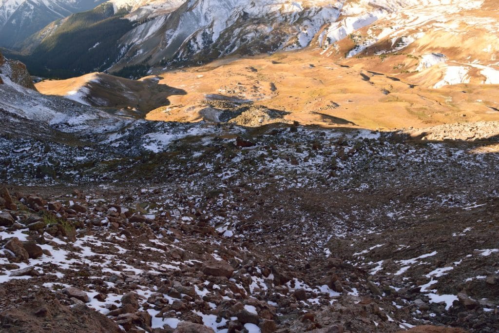
The three of us finally met up with each other about a mile into the hike and we tagged along with each other for much of the day. The sun was now rising in the sky and we were about half way over to Uncompahgre. The dark clouds still occupied the sky (as they would all day), but we didn’t hear any thunder or see any lightning. The hike to Uncompahgre Peak & Wetterhorn Peak is entirely in the open, so the last thing we wanted to do was get caught in bad weather.
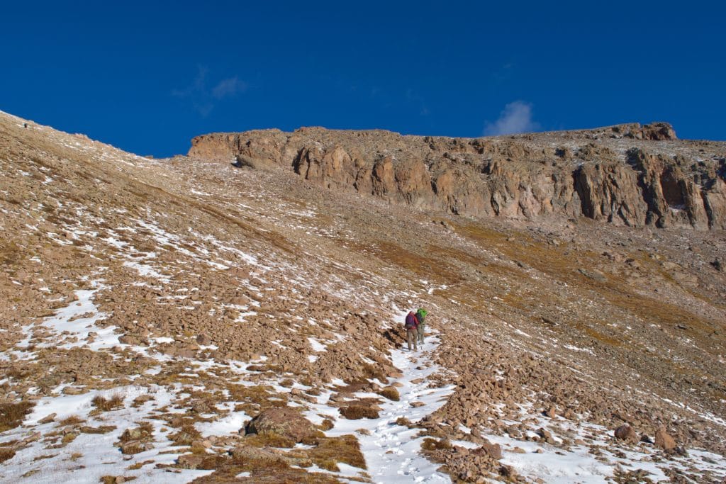
As we approached Uncompahgre (which to this day, I still have 0% confidence I can pronounce correctly,) we made the decision to same some mileage by taking the winter route up the couloir. It didn’t take long to figure out this was a god awful idea. The steep west slope of Uncompahgre was filled with loose gravel, loose rocks and 0 trail. It was the worst. It took about 3 minutes of ascending for me to make the decision to take the standard route down, I didn’t care if it added 3 extra miles. After an annoying 30-45 minutes of hiking, I gained the ridge of Uncompahgre and could see the summit just a short distance away.
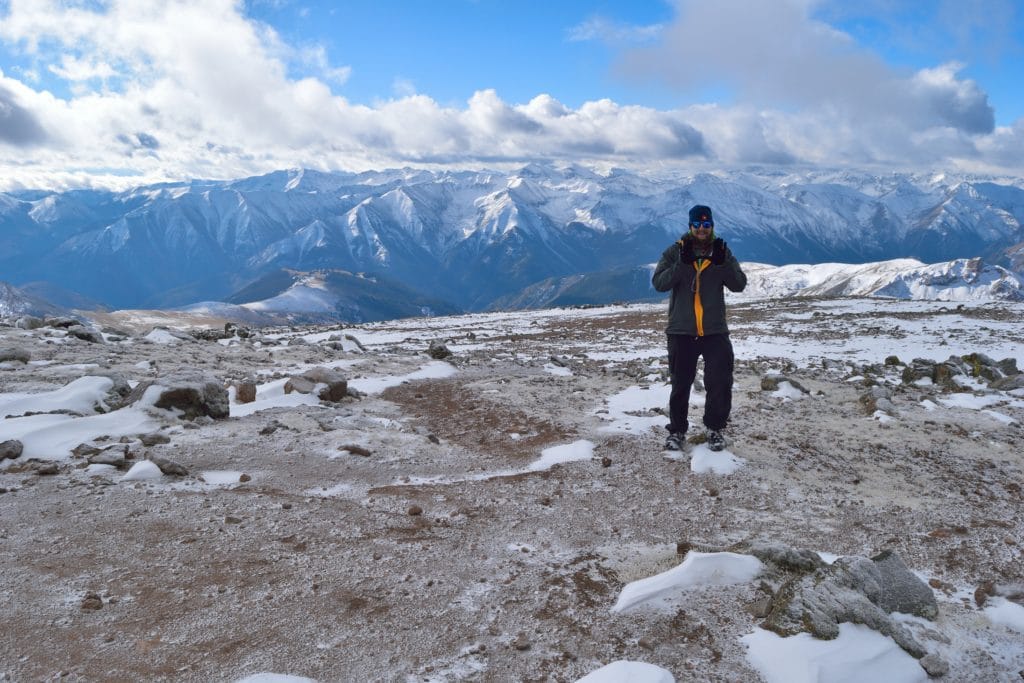
Even though the summit of Uncompahgre seemed so close, there was still another 20-30 minutes of hiking that separated me from the summit. The dirt trail switchbacked up the east face of the mountain and worked over to the west side where there was some high class 2, low class 3 scrambling. Luckily, the storms that were forecasted to drop 8+ inches of snow the night before, only coated the mountain with 2-4 inches. It made the rock slick, but nothing that microspikes could not easily handle. A short distance later, I met up with the other two people I had been hiking with earlier and another hiker on the summit of Uncompahgre Peak. He was accompanied by his friendly dog who ran right up to me and started wagging his tail. I missed Juno and wish she was with me on top of this peak. The hiker however seemed to have the complete opposite personality as his dog. He wanted nothing to do with all three of hiking group and left the summit without saying 2 words to any of us. I think he thought he was on a private mountain we were trespassing on, but sorry bro, this wasn’t Culebra mountain (lame inside 14er joke.)
The clouds in the area were starting to look dark again, so my summit time on Uncompahgre Peak was short with the usual snack, water, pictures and video. It was time to head to Wetterhorn Peak!
Wetterhorn Peak
Although the hike was longer, the standard trail from Uncompahgre Peak to Wetterhorn Peak was SO much better than that damn couloir. The other two hikers I was with were much faster than me and I have no problem admitting that. However, the lack of bathroom at the trailhead was starting to catch up with me and I was happy to have some space to take care of business. The rest of the hike over to Wetterhorn Peak was long, boring and uneventful.
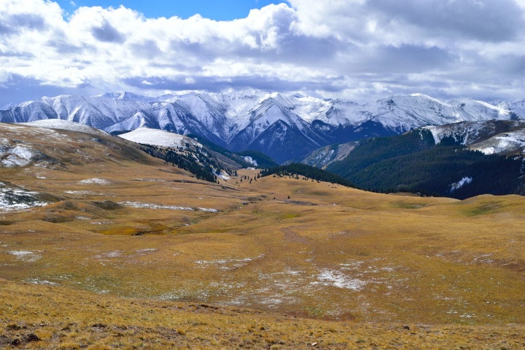
Eventually, I was back to the Wetterhorn Basin and now it was decision time. The clouds were dark in the area, but I had been watching them all day and had seen zero precipitation or storms. Since the approach to the ridge of Wetterhorn Peak was long, I figured I would hike up to there and make a call to move forward from that point. I worked up the dirt trail which entered a boulder field at the base of the ridge that connected Wetterhorn Peak and Matterhorn Peak. This looked like a lot of fun and made a mental note to revisit in the future. When I did finally reach the ridge of Wetterhorn Peak, I could see the other two hikers again. The skies looked dark, but okay, so I decided to push for the summit.
My legs were starting to tire and I still had over 900 feet to gain in less than a mile of hiking. It was steep. The ridge started with steep sand/dirt and continued up to steep class 3 rock. Somehow, there seemed to be less snow on Wetterhorn Peak than Uncompahgre Peak even though the mountains were less than 5 miles apart. I was really running low on fumes and didn’t want to be caught in any incoming bad weather, so I decided to leave my backpack on the trail and push to the summit without it. The change of weight made me feel light and free which made my speeds increase, it was so nice.
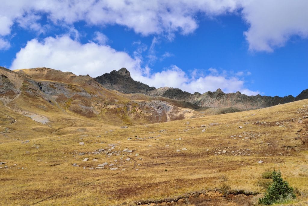
Once I gained the final section of the ridge of Wetterhorn, the trail was somewhat hard to follow. There seemed to be cairns in every direction, so I just followed the most direct path up. I worked through a small chimney, regained the ridge and could see the summit of the mountain only a few hundred yards away.
From here, the steep cliffs on the right side of the mountain told me I needed to go left. There was one section of smooth, flat rock which was covered in snow that led me back over to the left side of the mountain. From here, it was a fun class 3 scramble up to the summit where the other two hikers had graciously waited to greet me. We all talked about how much more fun Wetterhorn was vs Uncompahgre, snapped some pictures and moved on. The three of us hiked most of the way down to the trailhead together chatting about life issues, social media trolls and how we would all be screwed if the super volcano in Montana ever erupted.
Once again, mother nature was completely on my side because right as we got back to the car from the long hike to Uncompahgre Peak & Wetterhorn Peak, we heard thunder in the distance and it started to rain. The three of us parted ways after a great day of hiking. I can usually tell right away whether or not I will get along with fellow hikers and these two were great company all day long. I shot a quick wrap-up video, took off my smelly clothes and started the drive down the rough 4WD road. The “relatively easy” drive up, was much more difficult on the way down, but eventually I did reach it. I scraped much more and ended up popping out sections of my front and rear bumper (luckily I was able to fix both later on.)
Overall, my hike up to Uncompahgre Peak & Wetterhorn Peak was a good time. I didn’t enjoy Uncompahgre that much, but Wetterhorn was a really fun, especially the class 3 scrambling towards the summit. This is a long day, so you definitely need to get good weather to make both happen, but I think it’s a great alternative to hiking these two 14ers separate and I am honestly not sure why this is not considered a standard route.
One thought on “Uncompahgre Peak & Wetterhorn Peak 14er Hike Guide”