Columbine Lake Colorado Hike Guide
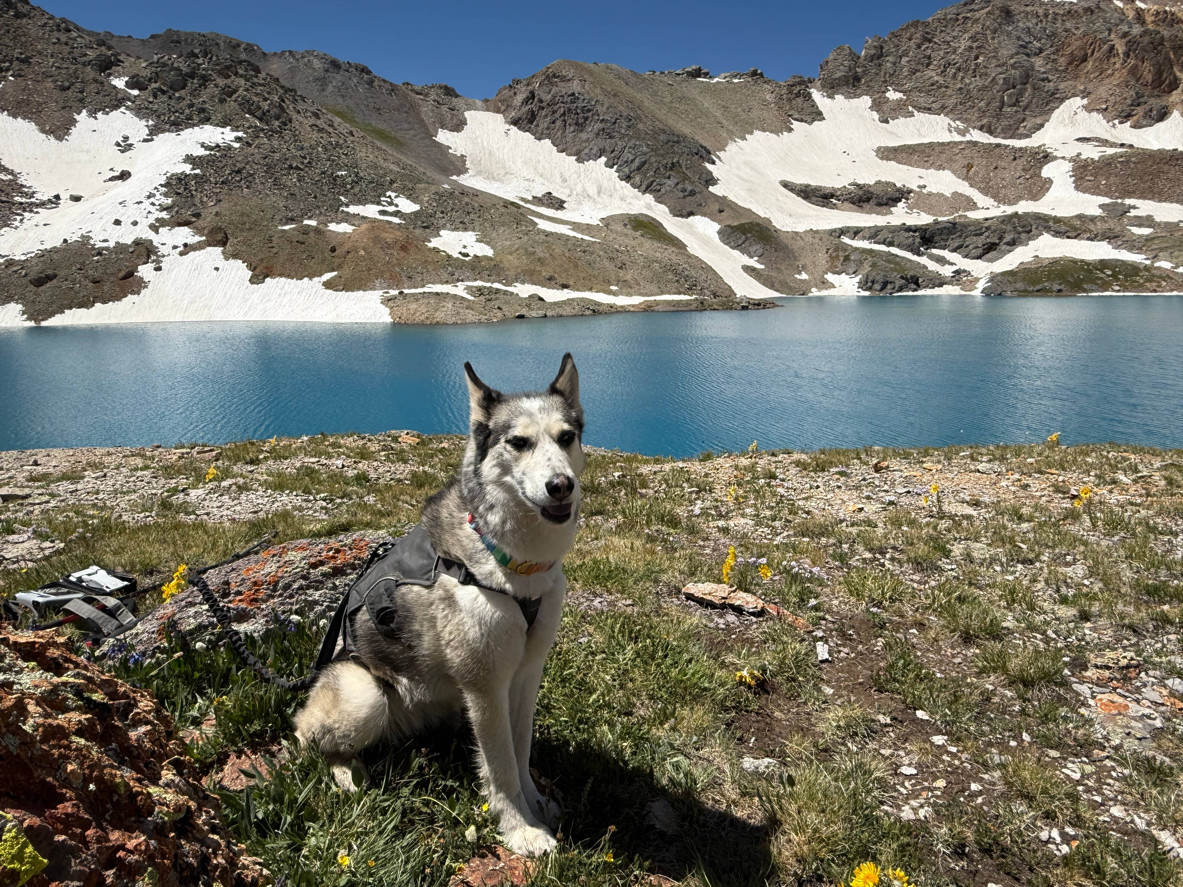
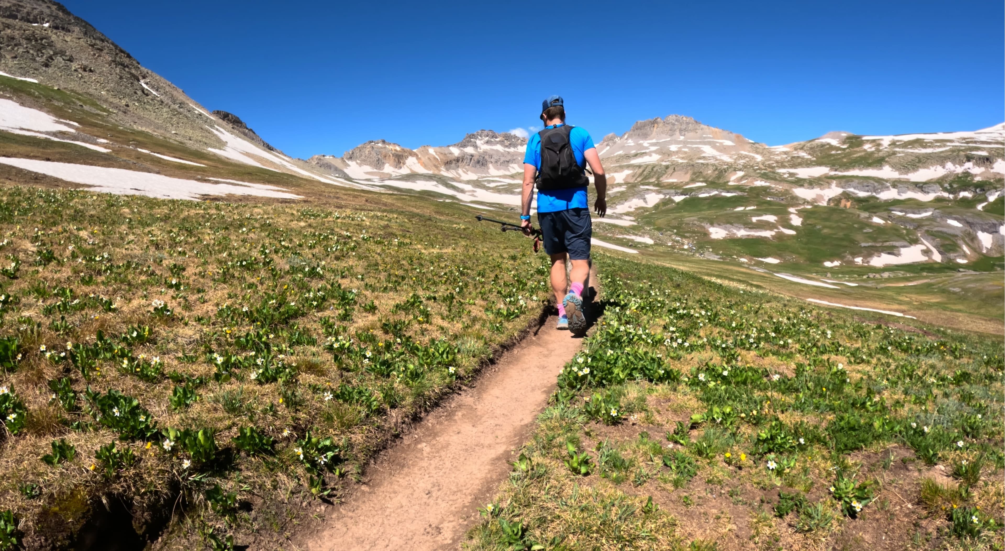
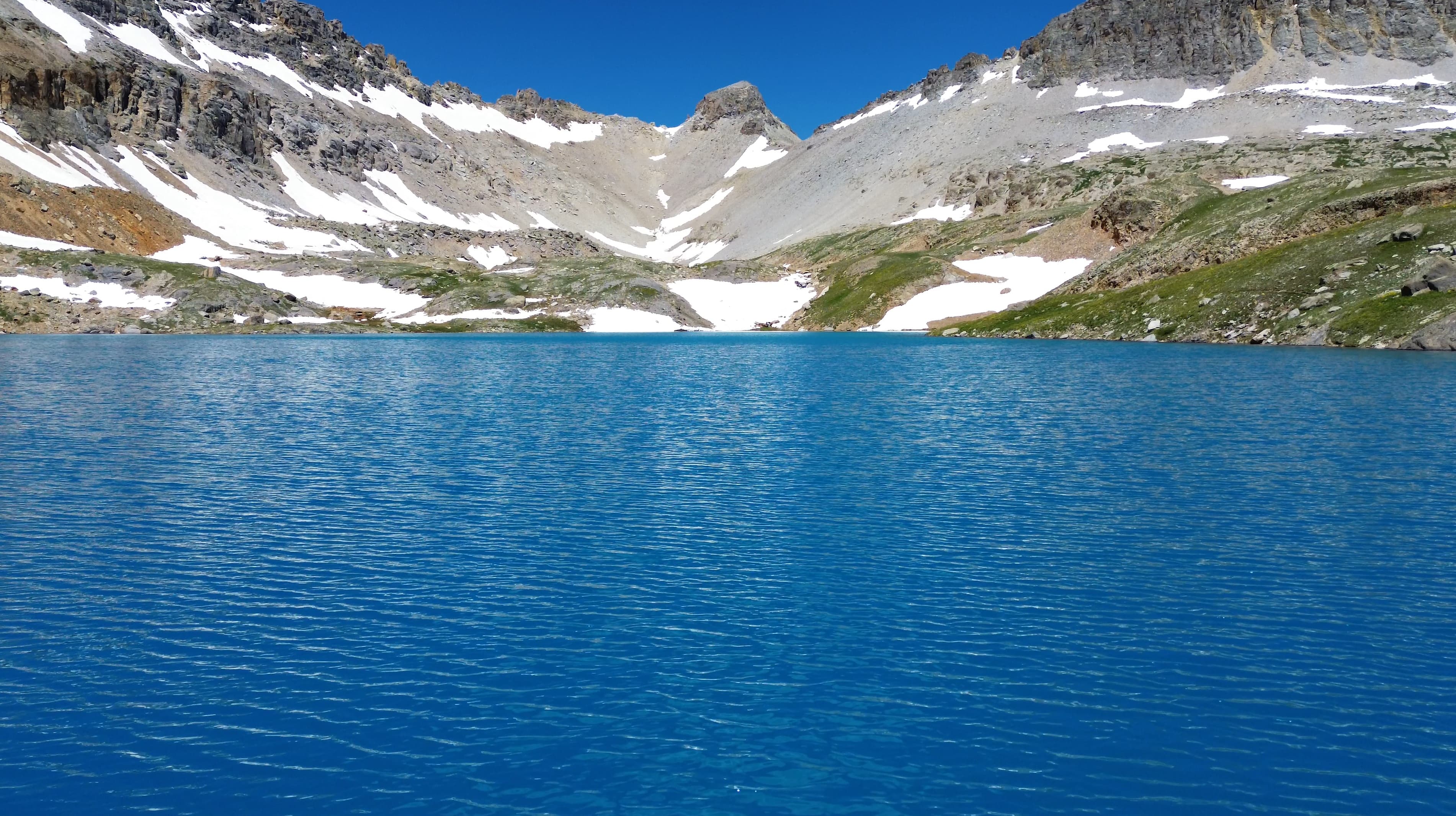
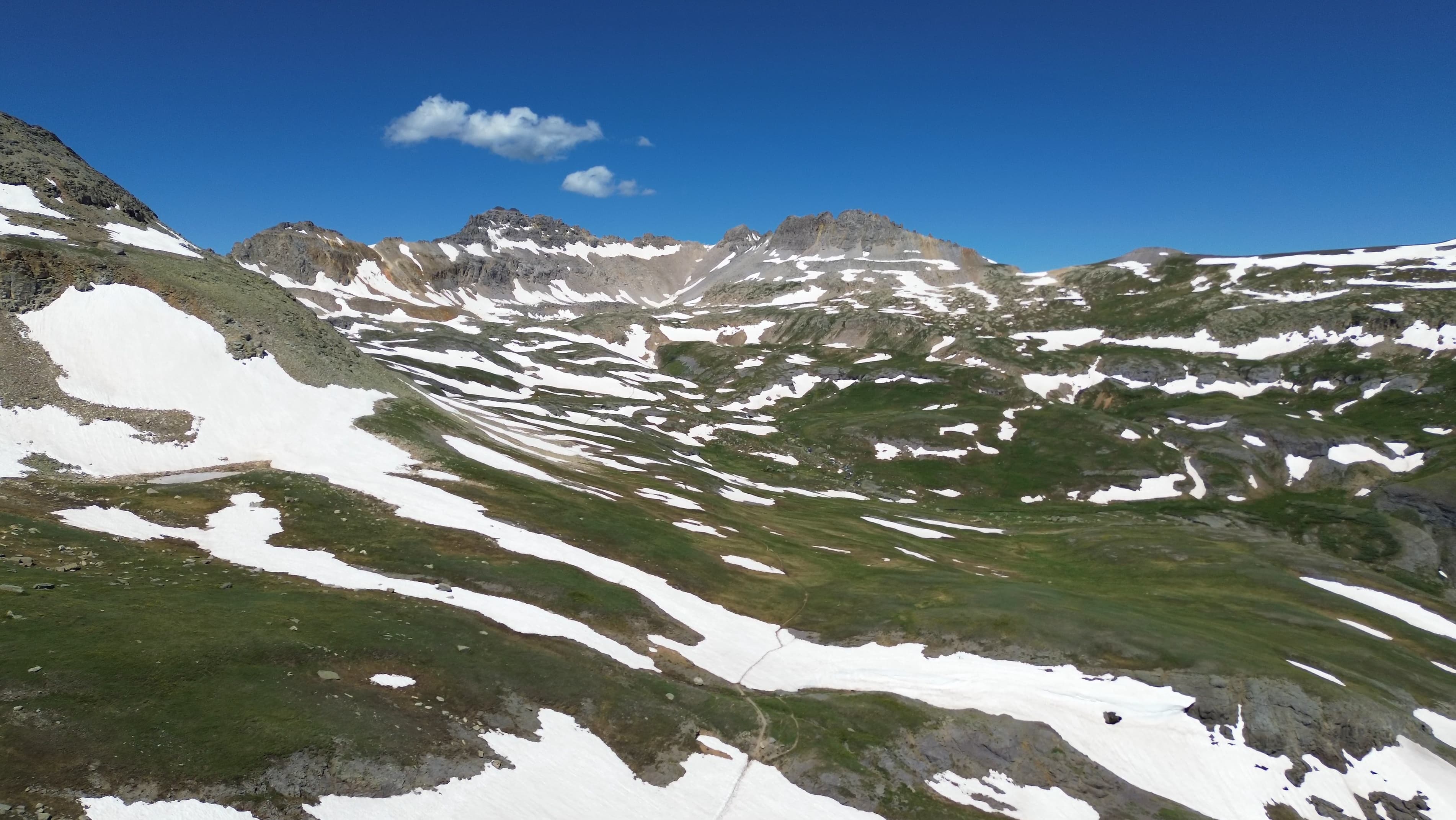
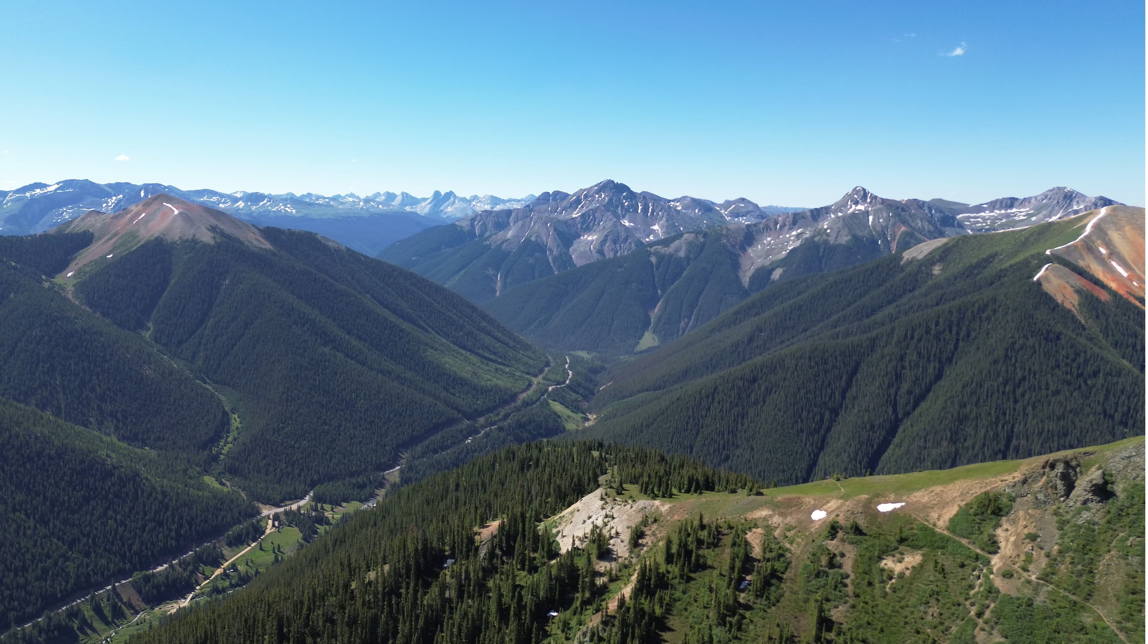
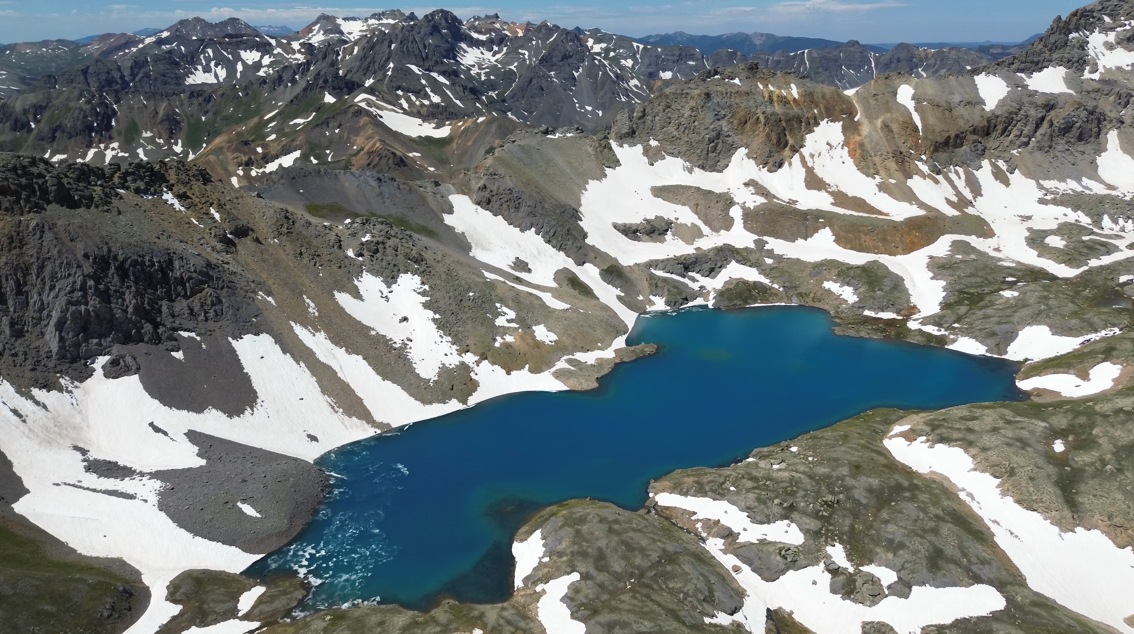
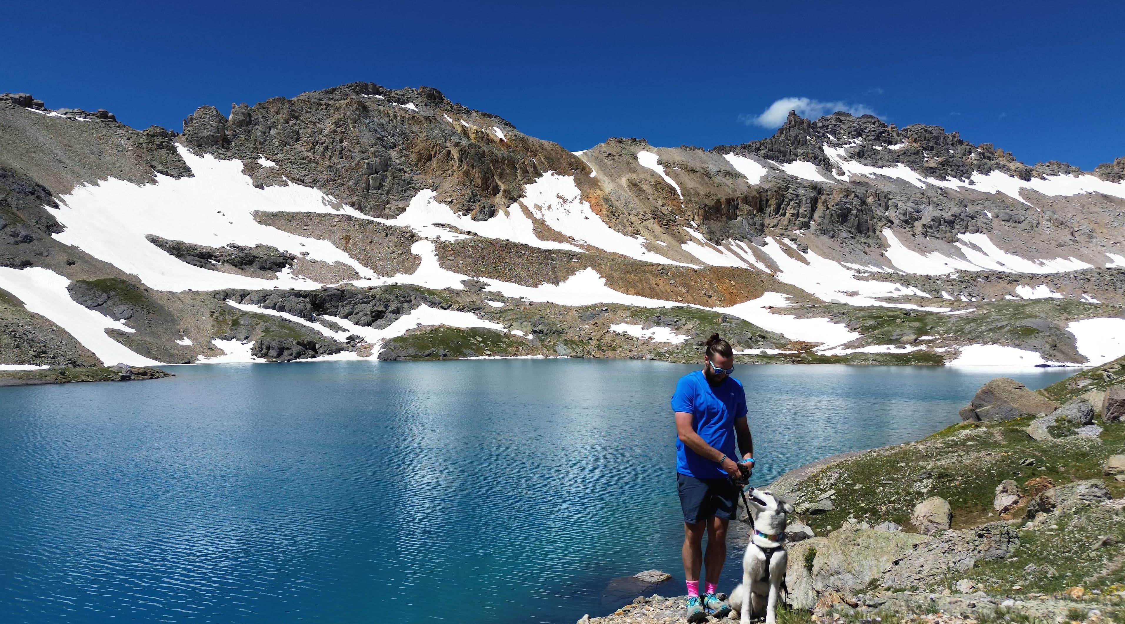
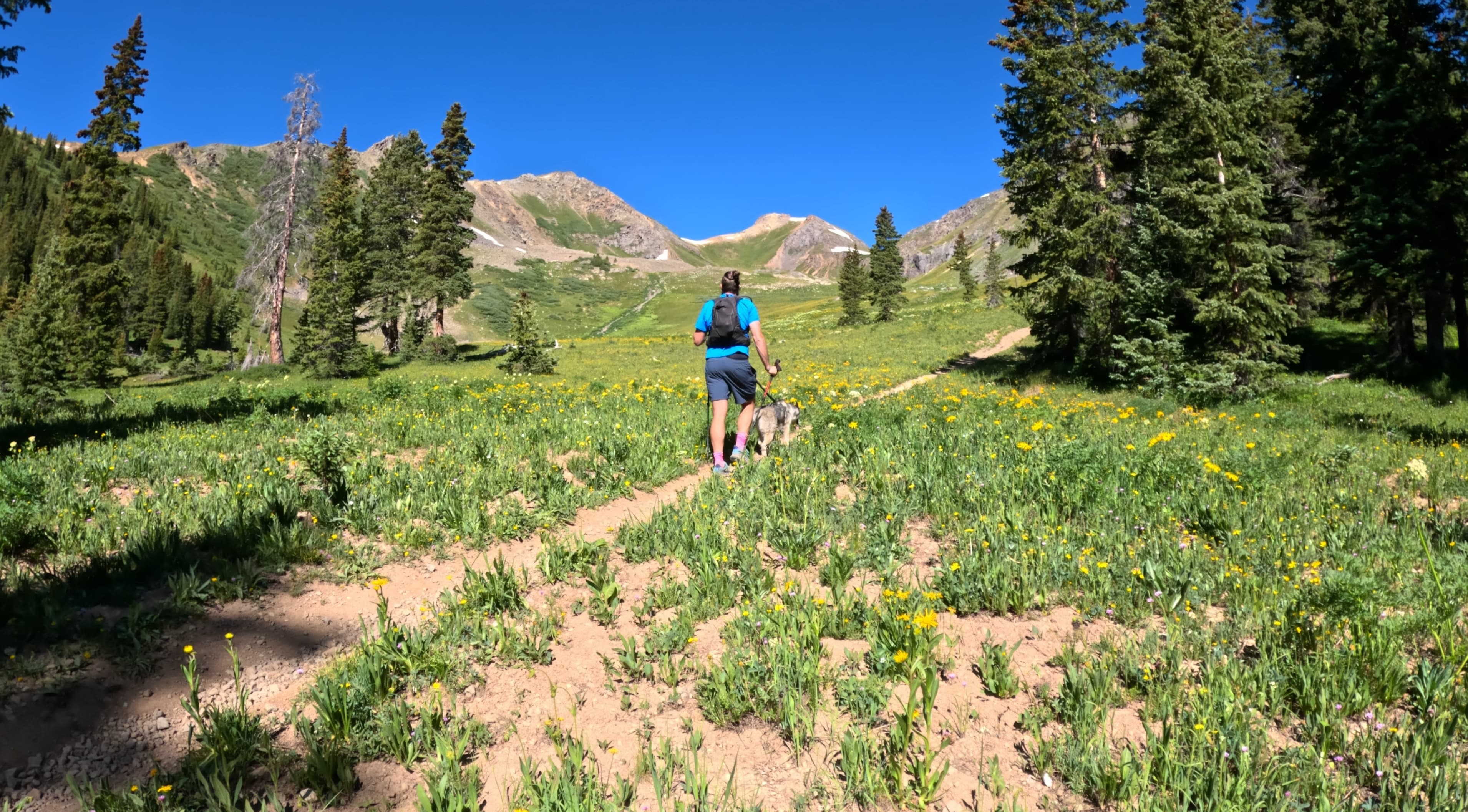
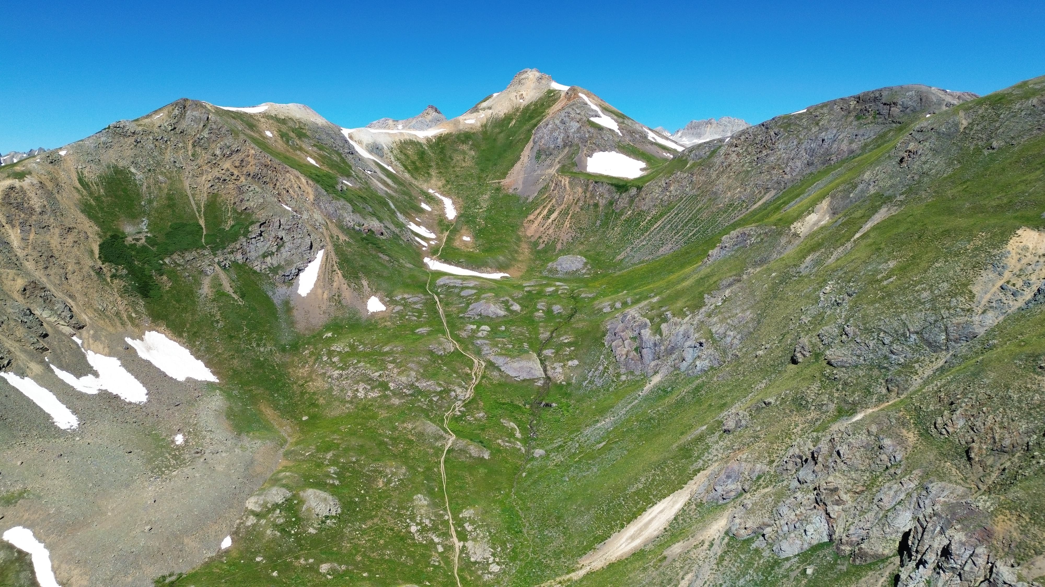
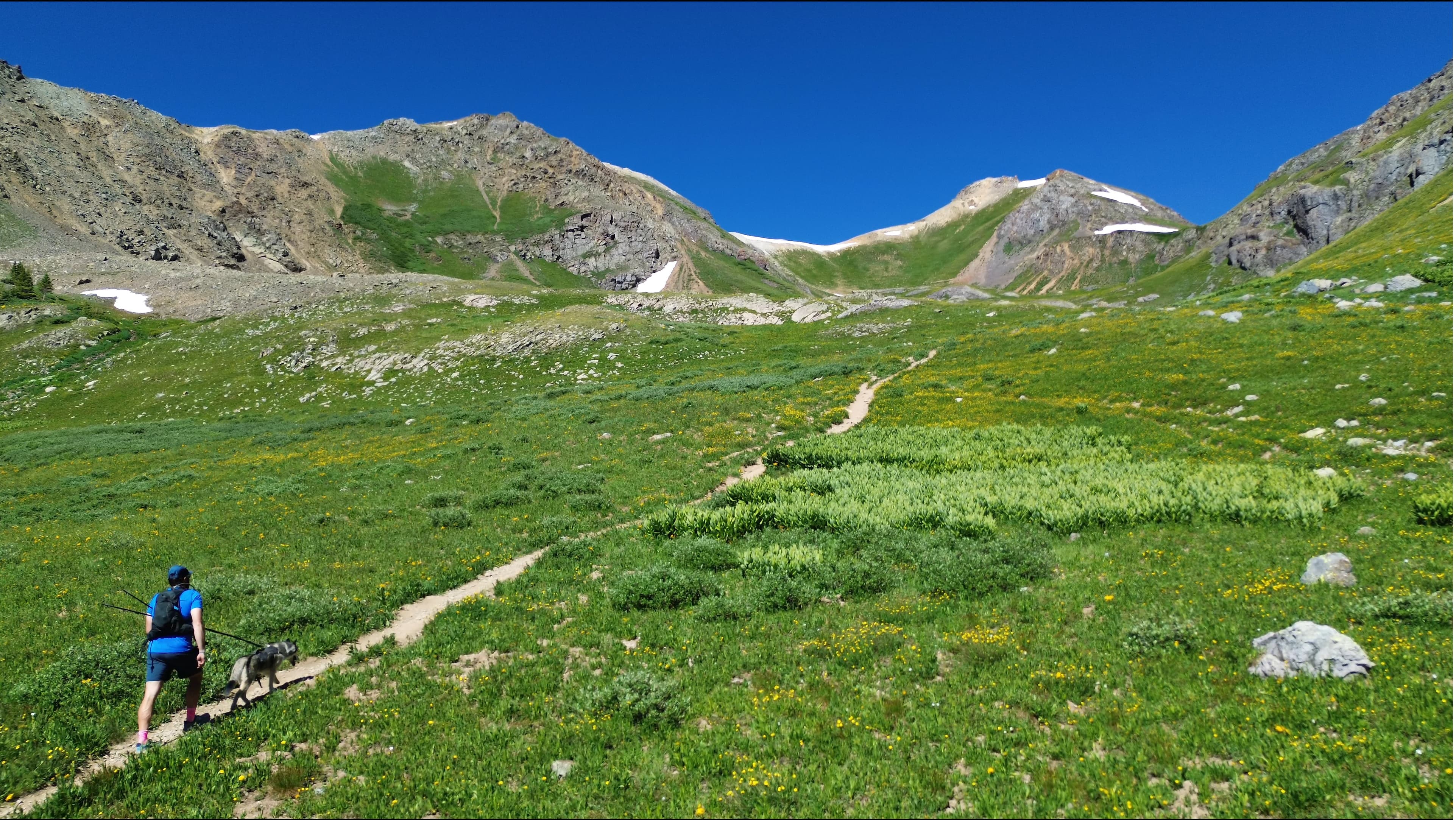
Columbine Lake is a stunningly blue high alpine lake located in the San Juan Mountains of Southern Colorado. The hike starts just outside of Silverton and brings hikers to a Gatorade colored lake surrounded by rugged mountain tops. The trail starts off Highway 550 and jets up into the high alpine above the valley below. This is a great hike for wildflowers in the Summer.
Columbine Lake Quick Facts
Columbine Lake Rating: ★★★★★ (5/5 Stars)
Virtual Trail Guide: Columbine Lake
Distance: 7 Miles RT (from TH)
Elevation Start: 10,462ft
High Point: 12,685ft
Total Elevation Gain: 2,600ft
Estimated Time to Complete: 3-4 Hours
Difficulty: Moderate What does this mean?
Class: Class 1 – What does this mean?
Season: June – October: You could hike this in early November and December depending on snowfall.
Directions to Columbine Lake
Trailhead: Columbine Trail
Getting Here: This hike starts about 5 miles north of Silverton Colorado. Depending on your direction, navigate either North or South to Forest Road 820. Start on this road and cross the creek to continue up the slopes. Take a sharp left to continue on Forest Road 820 and the trailhead will be marked on the right side of the road. Depending on the creek height and road conditions, this should be passage by AWD vehicles or above. A high clearance 4×4 is not typically required. If you don’t feel comfortable driving up to the TH, please just park before the creek crossing and walk up the road.
Parking: There is no parking at the trailhead. Please park responsibly along the Forest Road. Responsible = leaving enough room for other vehicles to pass and not eroding the side of the road. If you don’t feel comfortable driving across the creek or can’t find a good spot to park along the road, just park lower and walk up.
Permits/Fee: No fee required.
Summary
Dogs: Columbine Lake is a dog friendly trail but does see quite a few other dogs so please make sure your dog is friendly around other pups and people if going off leash.
Camping: The most popular spot to camp would be near the lake. However, I have to be honest, I did not see a ton of good spots to camp up here. I am sure it can be done but maybe don’t plan for the best tent pad. Please always follow leave no trace and camp at least 100 ft away from any water source.
Make it a Loop: Columbine Lake is an out and back hike but there are so many options to extend this one to other trails including Ophir Pass, Lookout Peak, T12 Peak, etc.
Hike X Factors: STEEP
There is no way around it, the hike up to Columbine Lake is steep. It will test your legs on the way up and down with lots of elevation gain and loose trail conditions. Luckily, after about 2.5 miles in, the elevation gain chills out a bit before reaching the lake itself.
Hike Tip(s): Columbine Lake is a great spot to view wildflowers during July. Also, if you are looking for the water to be the most blue, be sure that the snow has melted and you are hiking on a clear, sunny day.
Best Views: After about a mile and half, the views are A+ from treeline all the way to the lake. This is one of the most beautiful hikes I have done in Colorado.
Gear Needed
- Men’s Trail Runners
- La Sportiva Cyklon
- La Sportiva Trango Hiking Boots (Men’s)
- Backpack (Winter)
- Backpack (Summer)
- Sunglasses
- Base Layers
- T Shirt
- Mid Layer
- Rain Jacket / Shell
- Pants
- Shorts
- Socks
- Food & Water
- Optional: Water Filter
- Optional: Garmin inReach
- Optional: Hiking Poles – 120CM
- Optional: Headlamp
- Optional: Garmin Fenix Watch
- Optional: GoPro, Joby Tripod, Selfie Stick, GoPro 360, Drone, Insta360
- *Links included in this description might be affiliate links. If you purchase a product or service with the links that I provide I may receive a small commission. There is no additional charge to you.