Emerald Peak Colorado 13er Hike Guide
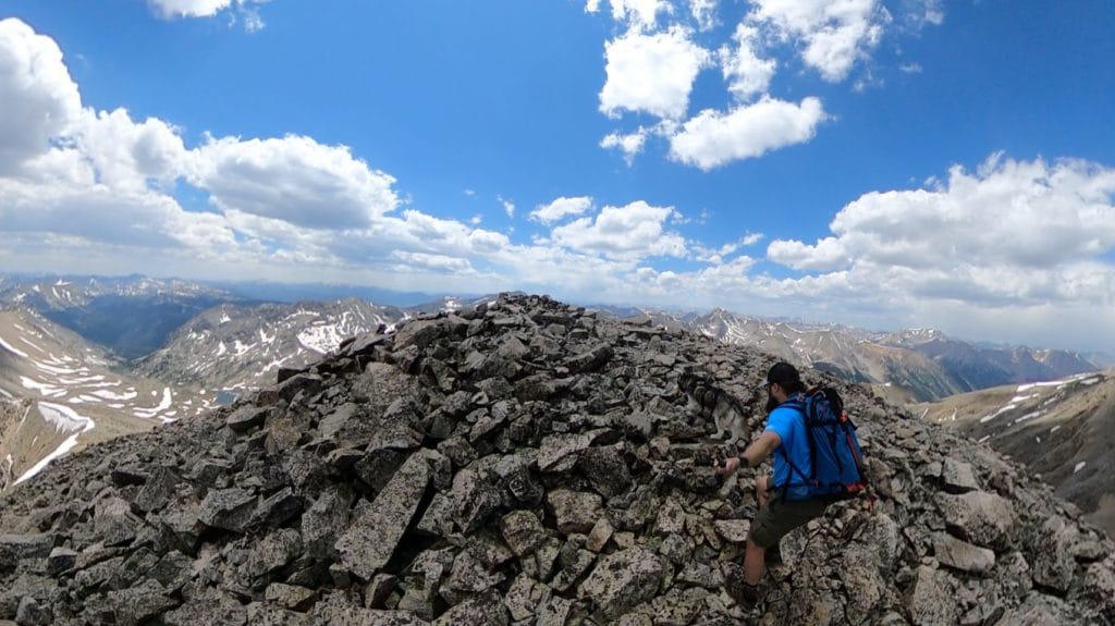
Emerald Peak is a 13er and centennial (top 100 peak) located in the Sawatch Range of Colorado. Like many 13ers, this hike does not follow an official trail for the majority of the route. A trip up Emerald Peak is long and difficult but extremely rewarding with some of the best views I have had in the entire Sawatch Range. This is a class 2 hike that finishes with a 300 vertical foot section of loose rock.
Emerald Peak Quick Facts
Virtual Trail Guide: Emerald Peak
Emerald Peak Rating: ★★★★★ (5/5 Stars)
Distance: 13.25 Miles RT
Elevation Start: 9,692 ft
Summit: 13,904ft
Total Elevation Gain: 5,900ft
Estimated Time to Complete: 8-10 Hours RT
Difficulty: Difficult What does this mean?
Class: Class 2 – What does this mean?
Season: June – November (expect snow outside of this period)
Directions to Emerald Peak
Trailhead: Missouri Gulch trailhead
Getting Here: The hike for Emerald Peak starts at the Missouri Gulch Trailhead which is smack in between Leadville and Buena Vista. If you are coming from Buena Vista, head north on US24 and head south if you are coming from Leadville. Continue on 24 from either direction until you reach County Road 390. This is a fairly well maintained dirt road but can get pretty bumpy in spots. Take the road for about 7.5 miles until you reach the trailhead on your left. If you hit a “museum” on the right side of the road, you have gone too far. You can enter “Missouri Gulch Trailhead” into your favorite navigation app. The trail starts on the west side of the parking lot near Clear Creek.
Parking: The parking lot at Missouri Gulch Trailhead is fairly large, but will 100% fill up on most summer weekends. Parking is free and there is 1 non-plumbing bathroom there. Bring toilet paper, because it will often run out due to the number of people using it.
Summary
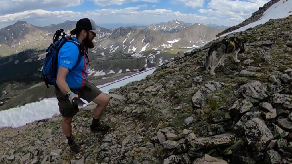
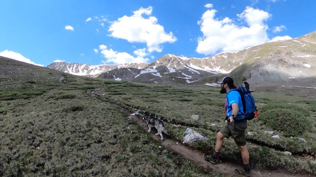
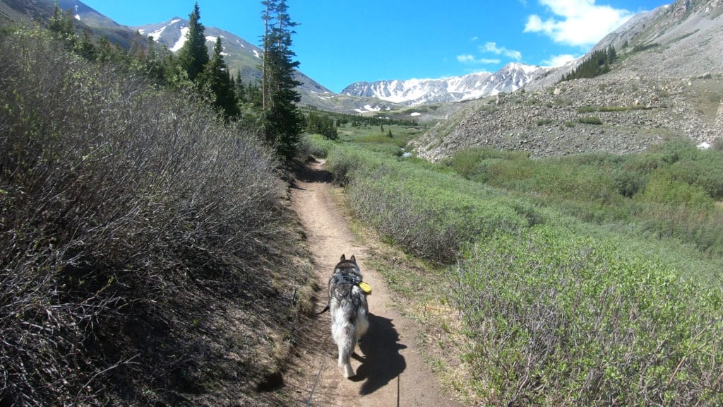
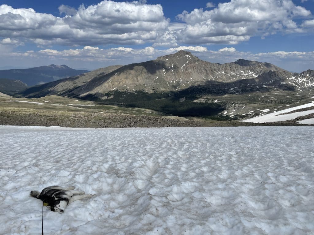
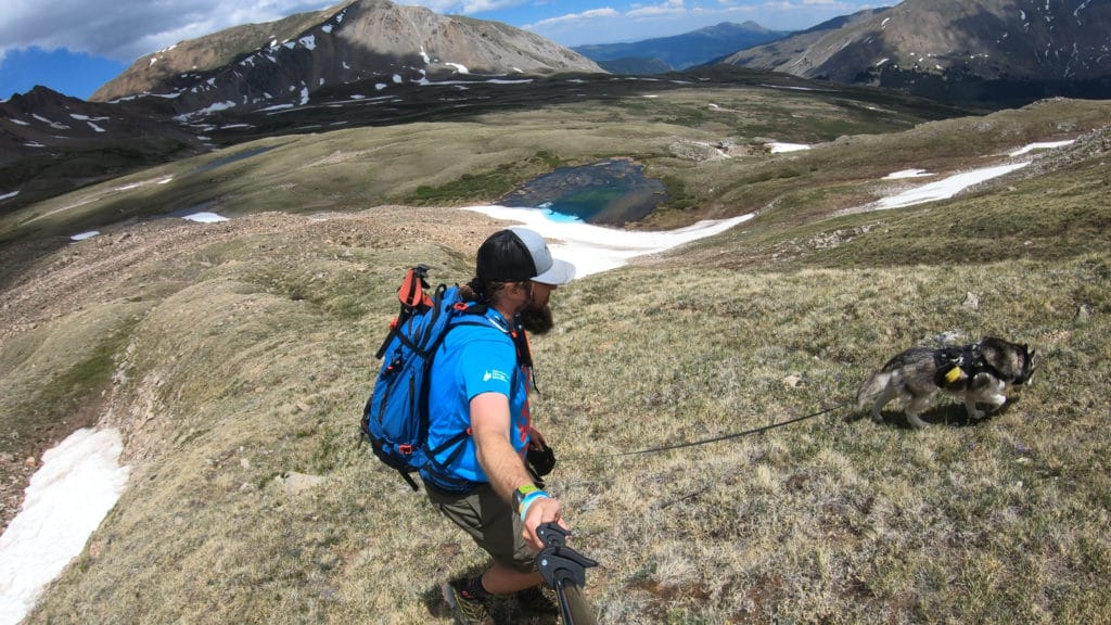
Dogs: Emerald Peak is a dog friendly hike so long as your dog is okay on loose and sharp rock.
Camping: If you want to camp in the backcountry, that is an option but you will have to hike about 2 – 3 miles in to find flat ground. There are camping spots along County Road 390, but they will fill up quickly.
Make it a Loop: A hike up Emerald Peak can be extended in a number of ways. It’s possible to add Missouri Mountain, Iowa Mountain or Mt Belford and Mt Oxford. The most common alternative route would be to hike up Missouri Mountain, traverse to Iowa and then to Emerald Peak finishing on Elkhead Pass creating a lollipop loop. This route would add a few extra miles and about another 500-1,000ft of vertical gain.
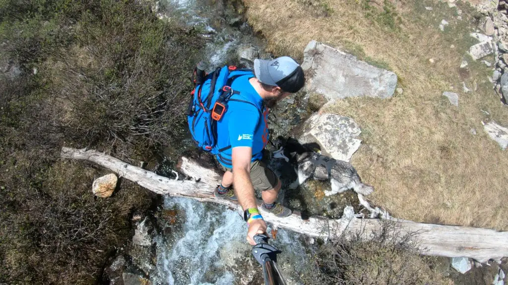
Trail X Factors: Stream Crossings
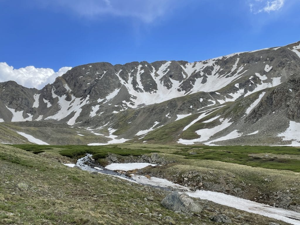
The trail up to Emerald Peak has 5+ separate stream crossings along the way in addition to loads of water from snow melt in the late spring and early summer. In the winter and early spring months, you will breeze through most of these but outside of this period, expect your shoes and socks to get soaking wet.
Hike Tip(s): Before heading out to a hike up Emerald Peak, be sure to have a good understanding of the hike route once you leave Elkhead Pass. From this point towards the summit, you are on our own without an official trail.
In addition to route finding, be sure to have a perfect weather day on any attempt of this hike. Once you leave the first mile, the rest of the 11 on this hike are almost entirely exposed to the elements with no shelter to seek if a storm rolls in.
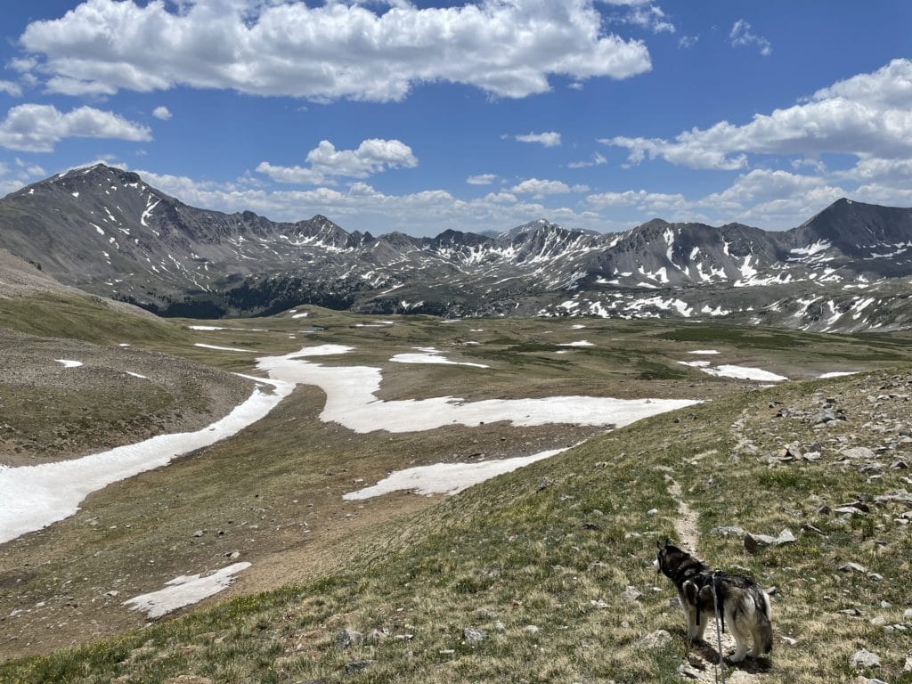
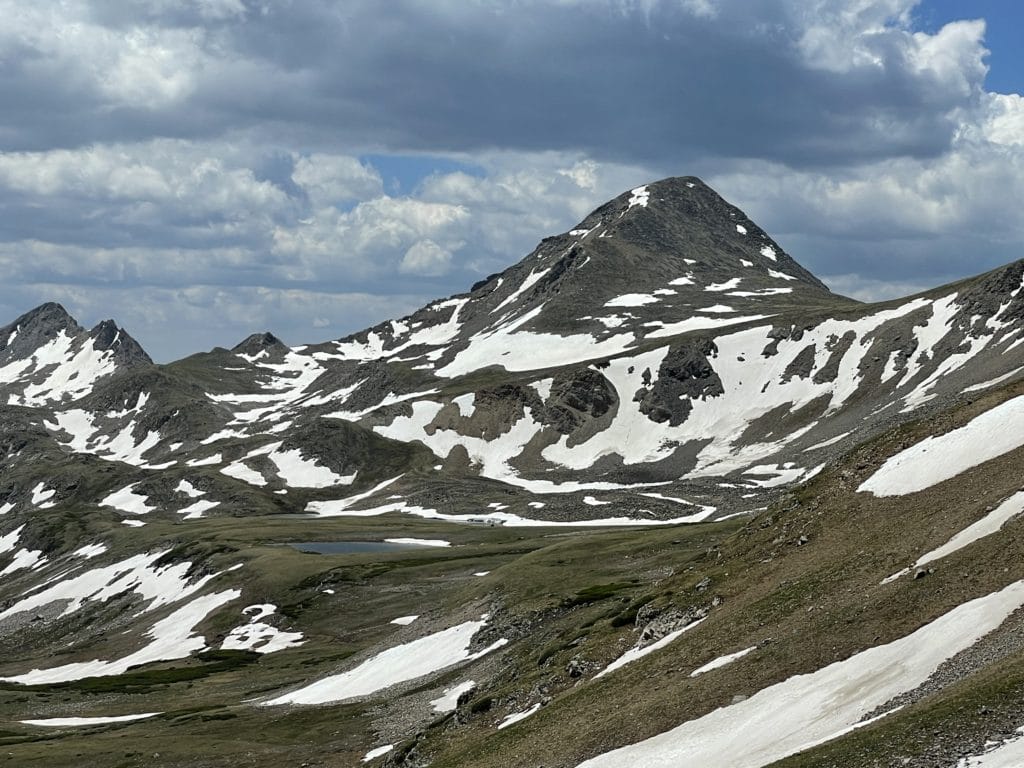
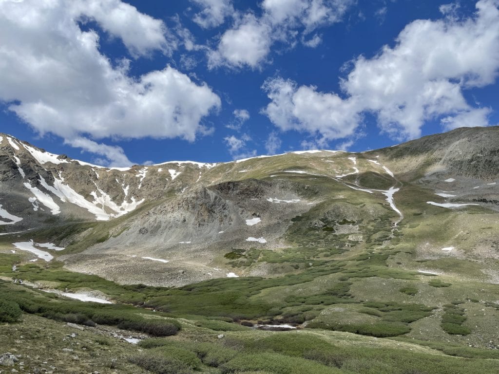
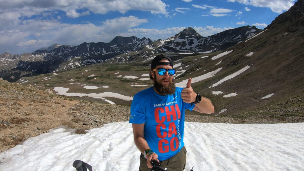
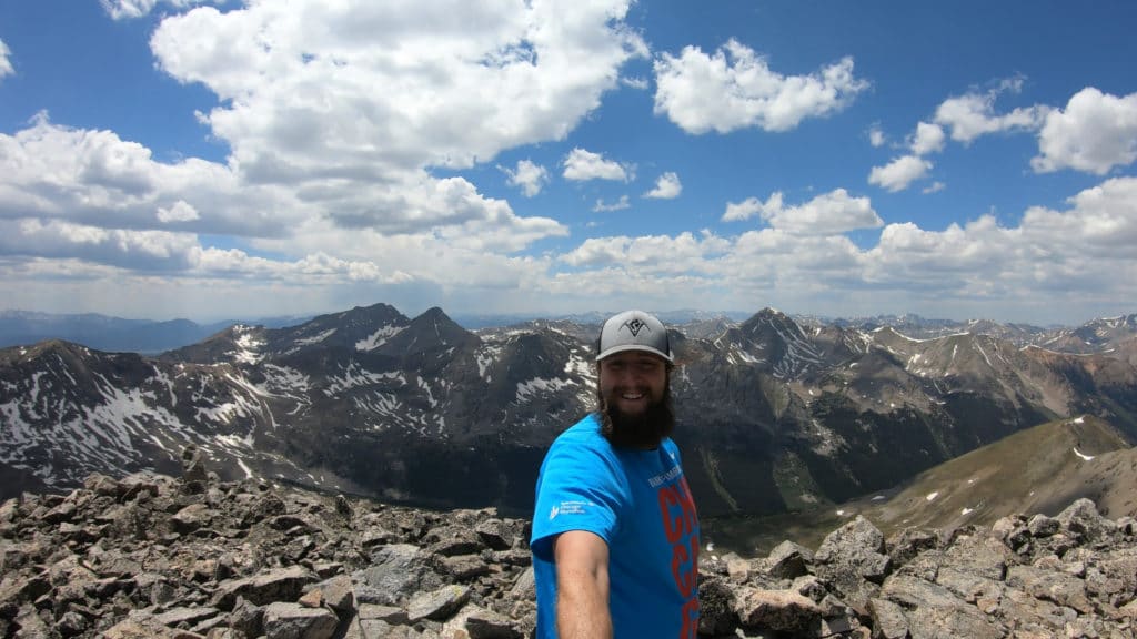
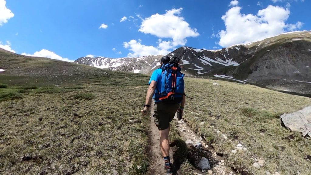
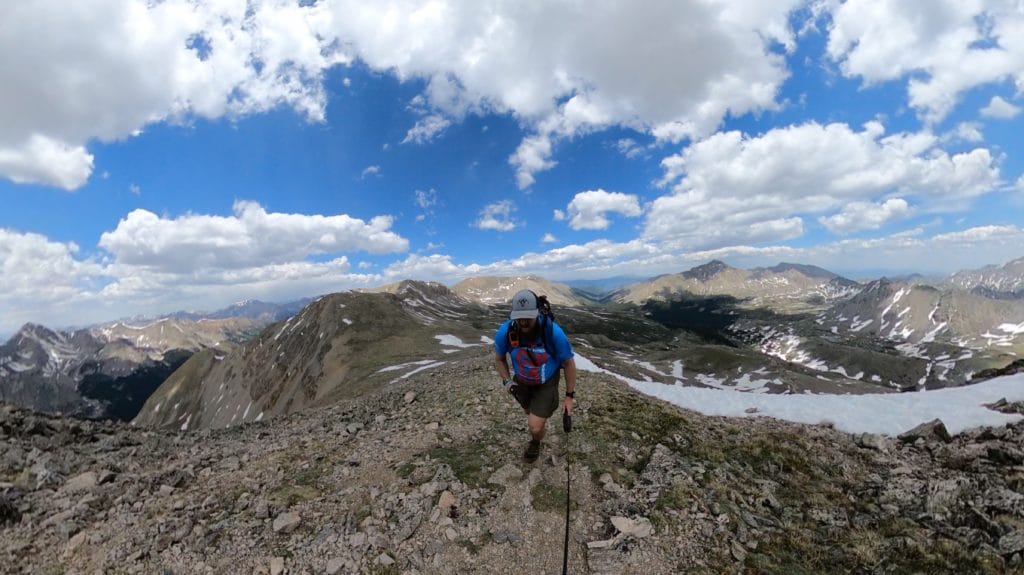
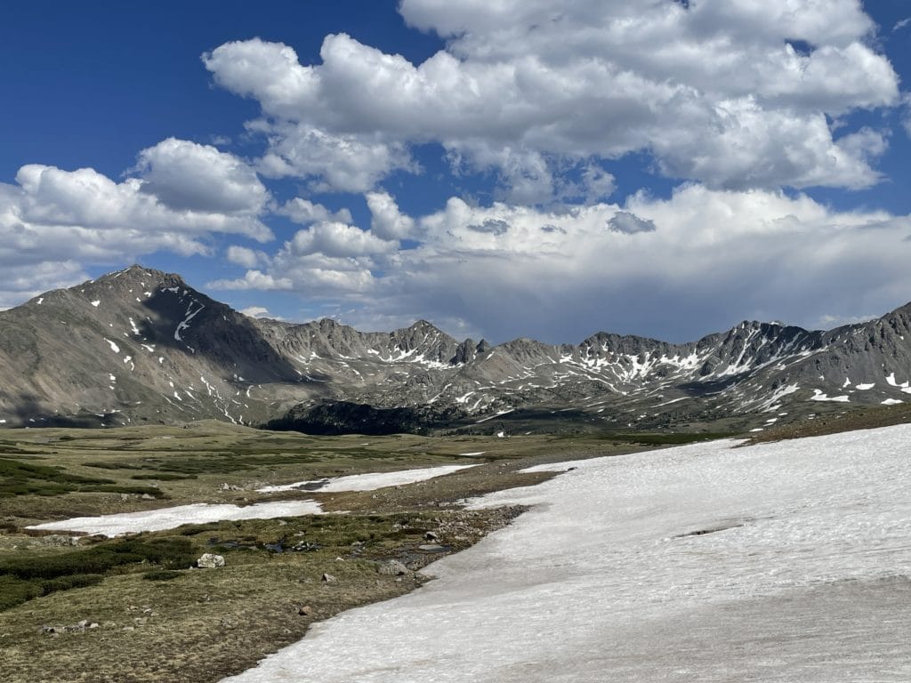
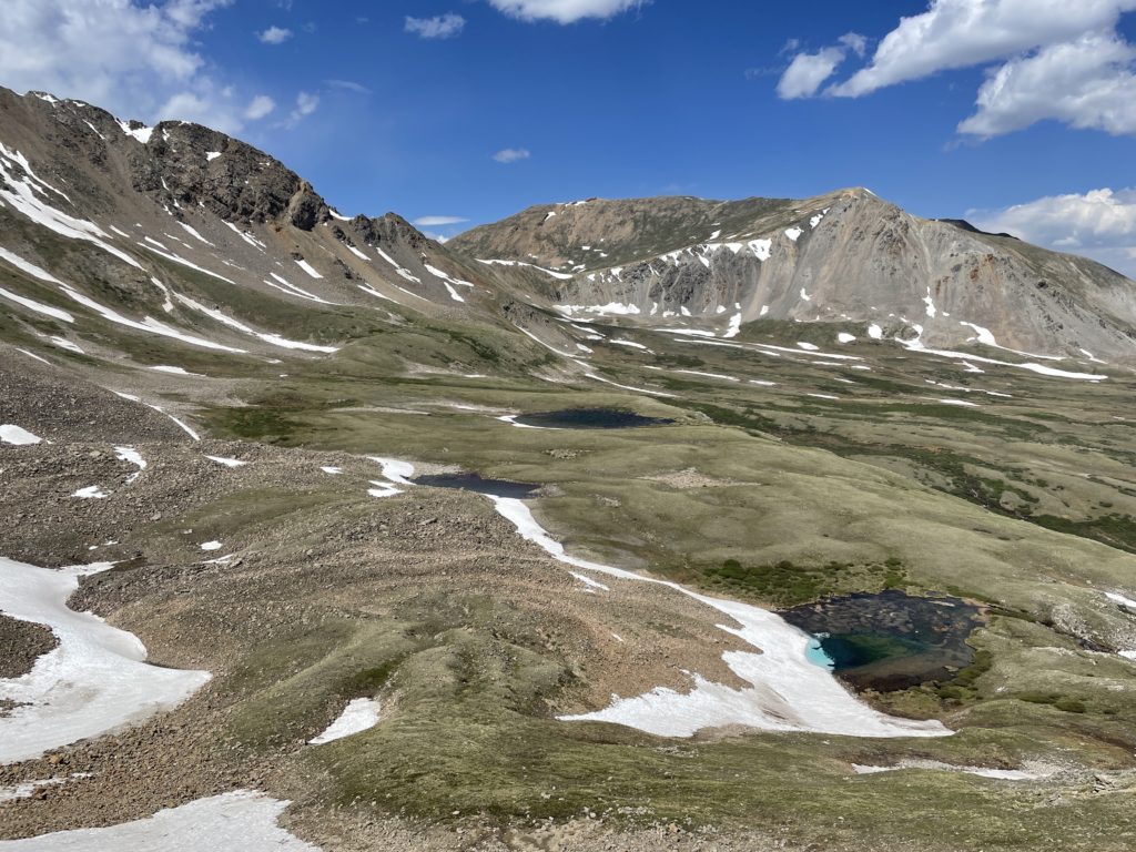
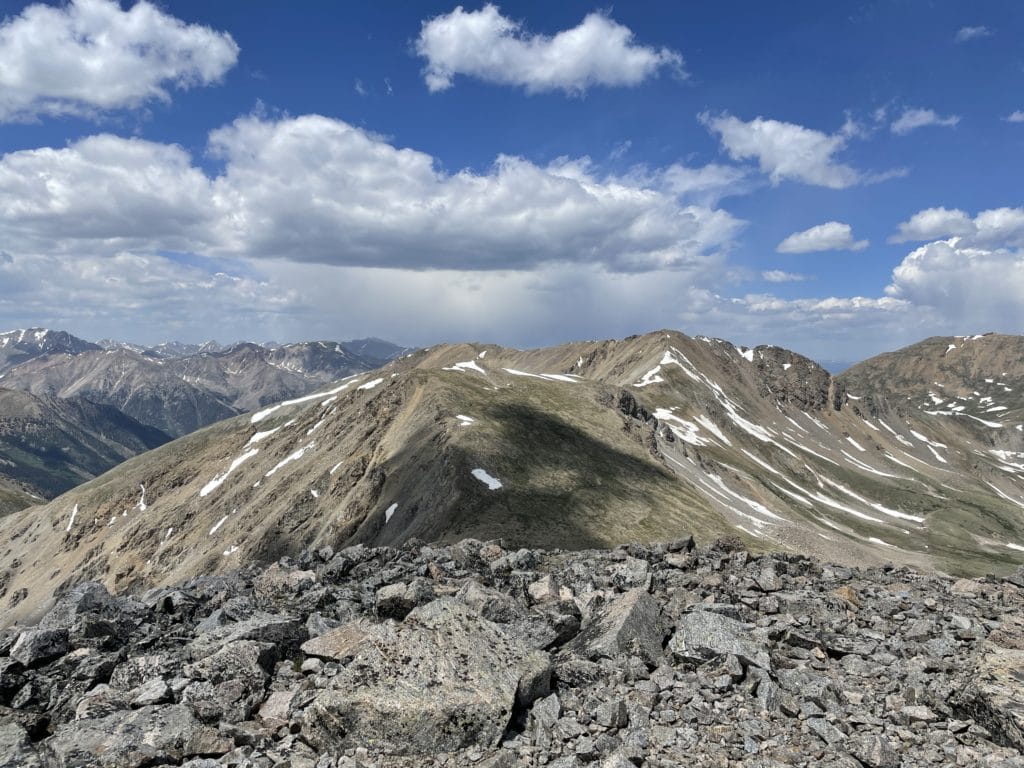
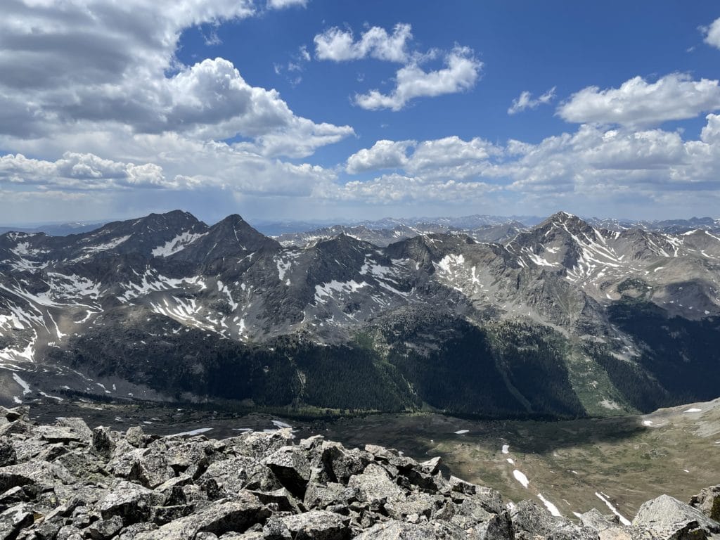
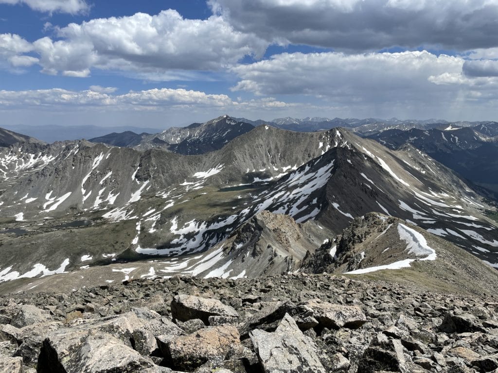
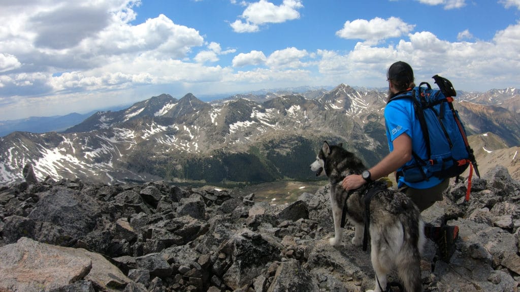
Best Views: The hike to Emerald Peak is one of the most beautiful in the Sawatch Range in my opinion. After the first mile, the hike opens up to stunning views which basically get better and better all the way to the summit of Emerald Peak. Elkhead Pass is an absolutely worthy hike in its own right and has stunning views once on top. The summit of Emerald also offers insanely beautiful views in all directions. You can’t go wrong with views on this one.
Emerald Peak Hike Route
Gear Needed
- 14er Day Hike Packing List
- Men’s Trail Runners
- Women’s Trail Runners
- La Sportiva Trango Hiking Boots (Men’s)
- La Sportiva Trango Hiking Boots (Women’s)
- Backpack
- Food & Water
- Optional: Climbing Helmet
- Optional: Garmin inReach
- Optional: Hiking Poles
- Optional: Headlamp
- Optional: Garmin Fenix Watch
- Optional: Camera and Lens
- Optional: GoPro, Joby Tripod
- *Links included in this description might be affiliate links. If you purchase a product or service with the links that I provide I may receive a small commission. There is no additional charge to you.
My Trip to Emerald Peak: June 2021
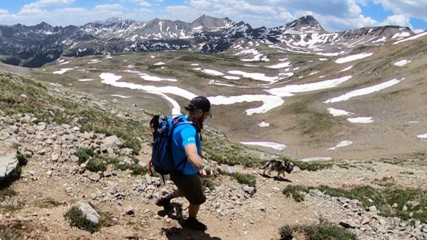
After a few failed attempts (one where I didn’t even get to the trailhead, the other where I just summited Missouri instead), I was ready for the third try at centennial and Colorado 13er Emerald Peak. I knew this was a dog friendly hike so I brought along Juno and we got a late start at the trailhead around 10AM.
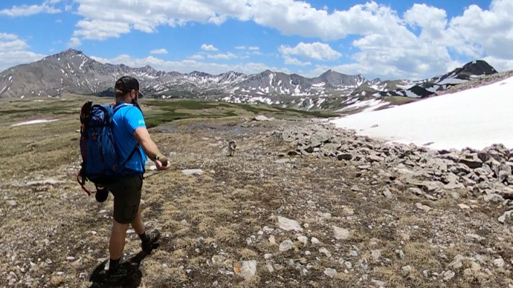
Juno and I worked up the steep switchbacks towards the basin that surrounds the three 14ers in the area. We crossed several stream crossings that were a bit tricky in spots and reached the turnoff for Elkhead Pass after a few hours of hiking. From this point on, the hiking was new to me and I was excited to see what Emerald Peak had to offer. The weather was perfect and the hiking was beautiful. We arrived to Elkhead Pass and could see clear as day our “path” to Emerald Peak. From this point on, we were on our own (without a trail) but the trail finding was not terribly difficult.
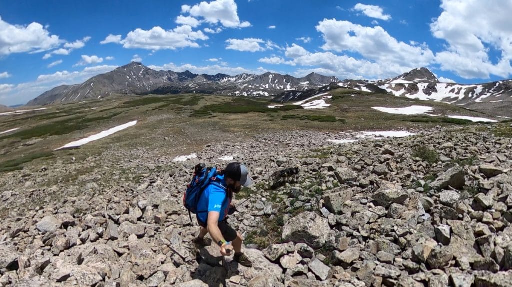
The hiking was wet with spring snow melt but after a while we reached the true ridge to the east of Emerald Peak. From here, Juno and I struggled up the loose mess of Class 2 rock that covers the northeast slopes of Emerald and finally hit the summit after about 5-6 hours of hiking. The views were absolutely stunning. This was easily one of my favorite summit views from the Sawatch Range, especially from a 13er. The hike back to the car was arduous and difficult but fairly quick. The hardest part was regaining Elkhead Pass which was a true struggle but after that we breezed to the car. Emerald Peak was a very tough hike, but extremely rewarding and one that I am certainly happy to have under my belt.