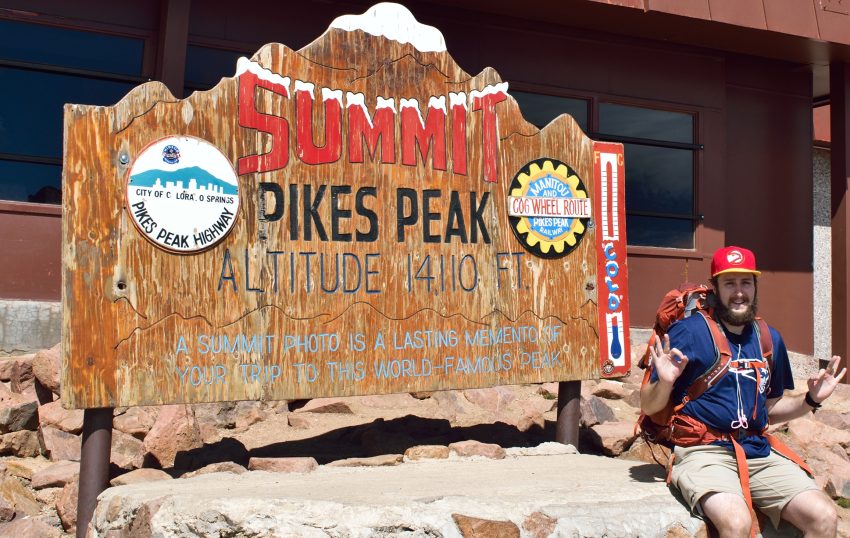
Pikes Peak Barr Trail 14er Hike Guide
Pikes Peak via the Barr Trail (standard route) is a strenuous Class 1 hike up the 14,110 foot Colorado 14er located just outside of Colorado Springs. Although there is no technical terrain, this 24+ mile day also has over 7,600ft of climbing making it a very challenging hike. Some hikers do stretch this into two days by staying at Barr Camp or getting a ride down from the summit via the cog railway or car. Pikes Peak often gets overlooked as a Colorado 14er but the experience hiking up to its summit is very unique in terms of different ecosystems, sheer exposure to the elements and of course the ability to eat a hot meal on top. Pikes Peak is recommended for an endurance hiker or trail runner looking for a long but fun day in the high alpine.

Pikes Peak via Barr Trail Quick Facts
| Category | Details |
| Hike Rating | ★★★★ (4/5) |
| Area | Front Range, Colorado |
| Trailhead | Barr |
| Distance | 24 Miles Total |
| Route Type | Out and Back |
| Elevation Start | 6,694ft |
| Highest Elevation | 14,110ft |
| Total Elevation Gain | 7,600ft |
| Estimated Time to Complete | 11-14 Hours Total |
| Difficulty | Strenuous – What does this mean? |
| YDS Class | Class 1 – What does this mean? |
| Exposure | Low |
| Best Season | June – October |
| Activity Type | Hiking, Backpacking, Trail Running |
| Crowds | Moderate |
| Dogs Allowed | Yes |
| Permit/Fee | No |
| Last Hiked Date | 6.22.25 |
Alternative Routes Up Pikes Peak:
Pikes Peak via Barr Trail Virtual Trail Guide
In this virtual trail guide you’ll see the trailhead, route conditions, navigation tips, difficult sections, summit views, what to expect throughout the hike and of COURSE, my unique experience on this hike.
Pikes Peak Barr Trail Route Map & GPX
The map below shows the route that I followed for this hike. GPX files are available through a suggested donation of $3-$5. Creating and maintaining hiking guides, videos and GPX files takes a tremendous amount of time. Your support helps keep The Virtual sherpa running, covers website hosting costs and allows me to continue creating free hiking content.
After making a donation, click the button below to send me an email with the hike name in the subject line. I’ll send the GPX file as soon as possible.
Pikes Peak via Barr Trail Directions & Parking
Protected Area Type: National Forest
Protected Area Name: Pike and San Isabel National Forests
Trailhead: Barr
Coordinates: 38.85546, -104.93431
Driving Directions: To get to the trailhead, head to the town of Manitou Springs and follow the signs for the Cog Railroad. Once near the Cog Railroad, look for signs for Barr Trail parking. Note, this lot is extremely small and will fill up almost always so be prepared to walk from street parking.
Parking: Pikes Peak Barr Trail has a very small trailhead and paid parking area that can only it about 20 cars. This lot is often full, so be prepared to park in town as well. There is a $20-$37 per day (credit card only) fee per day depending on which day you visit and where you park, read more about parking at the Barr trailhead here.
Permits or Reservation/Fee Description: Pikes Peak has no fee to hike but if you are looking for a way down from the top via the Cog Railway, you can view their rates here.
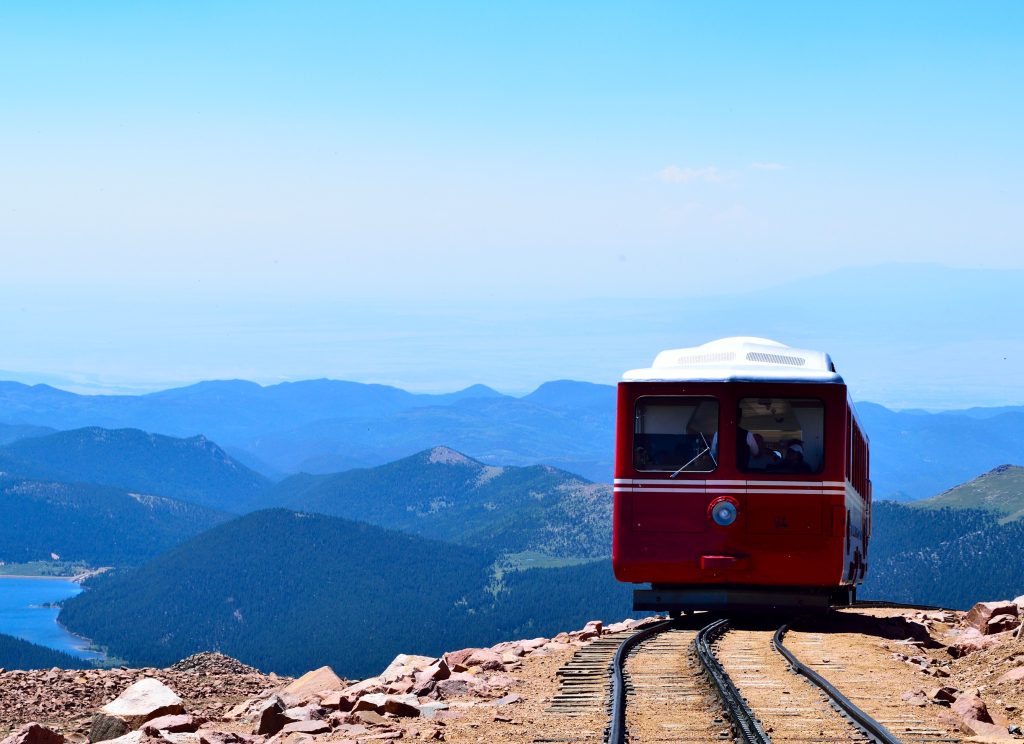
Pikes Peak via Barr Trail Overview
The hike starts at the Barr trailhead in Manitou Springs and is a dirt path that follows a similar elevation gain to the famous Manitou Incline for the first several miles but far less steep. Around 2 miles in, the trail intersects with the Manitou Incline but stay left to keep on the Barr Trail. After 3 miles or so, the trail travels through a rock arch and starts to level off, and miles 3-6 are essentially flat on a gravel trail suitable for running.

The trail passes Barr Camp around mile 6.5, where most people bookend their summit hike. It has outhouses, all you can eat breakfast and dinner (for a fee) and camping or housing. It also sits right next to a stream making it a convenient place to filter water. Miles 6-9 climb through high elevation forest to the A-Frame shelter right below treeline at 11,900 feet. Past the shelter and a small hill, the summit is directly ahead but still several miles and hundreds of vertical feet away.
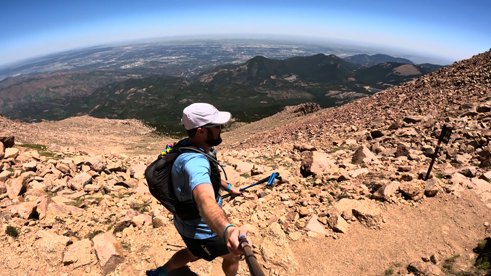
Continue up the trail, from here the hike is entirely exposed to the elements. The red gravel trail works through a very long series of switchbacks until it reaches the well known “16 golden stairs.” There are no stairs, just more (shorter) switchbacks. Near the top, the Cog Railroad train can be heard and a couple hundred yards later is the summit equipped with a visitor’s center, indoor bathrooms, hot food and the overrated summit donuts.
Plan Your Hike
Best Season: You can hike Pikes Peak Barr trail year round but the best time to visit is generally June – October. Be sure to plan your trip with good weather as hot temperatures and storms could make this hike unsafe. If you want to hike during the Winter months, I would highly recommend the Northwest Slopes which is much shorter and avoids most avalanche terrain.
Check Weather: Pikes Peak Weather
Camping: Camping is available along Barr trail and there is a campground (Barr Campground) about 6.3 miles into the hike. Barr Camp offers hot meals, bathrooms and even accommodations for a small fee. Visit their website for more information.
Bathrooms: There are restrooms at the trailhead, Barr Camp and summit so long as the visitor’s center is open.
Hazards: Lightning, Heat, Weather Exposure
Dog Description: Dogs are allowed on Pikes Peak Barr trail, but leave them at home unless your dog is used to hiking 20+ miles in a day. For a trip split into two days, bring lots of water, since the last couple of miles are very dry. Terrain wise, the trail up to the summit is dog friendly but can get very hot.
Water Sources: Plenty of water sources along the way, so consider bringing a pump/filter. You can count on water at Barr Camp, which sits next to a stream, but the rest of the sources are seasonal and will likely dry up the later you get into the summer and fall. You can of course also fill your bottles at the visitor’s center on top.
Drones: Colorado Springs does not make understanding Drone regulations on Pikes Peak easy. However, generally speaking, drones are not permitted on Pikes Peak from the Barr Trail or summit area. Please always follow all drone regulations.
Hike Tip(s): Whenever you are hiking 20+ miles its best to pack efficiently. In the case of Pikes Peak Barr Trail, saving weight is key. Bring a water filter and even consider bringing cash / card for snacks on the top to save the amount of calories and fluids you have to pack. Additionally, be absolutely sure that the weather is good for your Pikes Peak Barr Trail summit attempt as the entire hike is from the east so you will have very little warning if a storm rolls in.
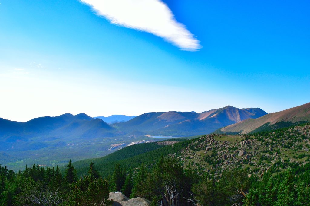
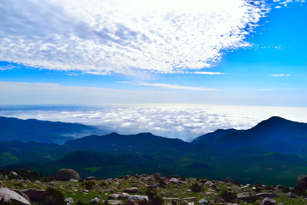
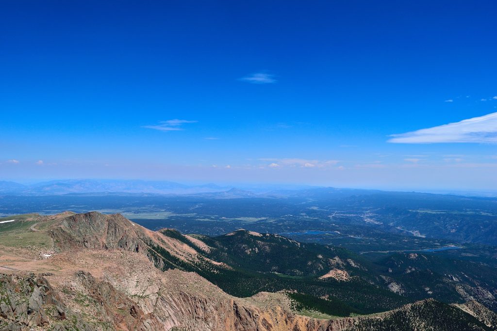
Best Views: Barr Trail offers many beautiful photo spots. Inversion clouds sometimes blanket Colorado Springs for a neat effect, there are stunning mountain views and an early start gives a chance at a colorful sunrise. The summit views are not the best because of the huge summit area, buildings and cars.
Primary Attractions: Summit Views
Required Gear
- Hoka Mafate 5 – My go to hiking shoes and trail runners
- La Sportiva Cyklon – Great for scrambling
- Osprey Talon 22 Backpack
- Sunglasses
- Running Hat
- Base Layers
- T Shirt
- Mid Layer / Sun Hoodie
- Rain Jacket / Shell – Black Diamond
- Mountain Hardwear Puffy Jacket
- REI Sahara Pants
- North Face Wander Shorts
- Socks
- Hiking Poles – 120CM
Seasonal Gear
Optional Gear
- Helmet
- Water Filter
- Garmin inReach
- Headlamp
- Garmin Fenix Watch
- UD Running Vest
- Osprey Running Vest
- Film Gear: GoPro, Joby Tripod, Selfie Stick, GoPro Max 2 , Drone, Insta360
- *Links included in this description might be affiliate links. If you purchase a product or service with the links that I provide I may receive a small commission. There is no additional charge to you.
Dog Gear
More Hikes in the Area
- Manitou Incline
- Garden of the Gods
2 thoughts on “Pikes Peak Barr Trail 14er Hike Guide”
Great post! Good set of images!
Thanks, appreciate it!