
Torreys Peak Colorado 14er Hike Guide
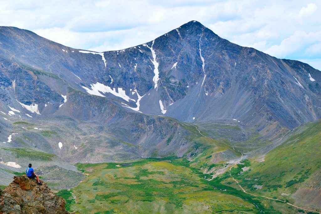
Torreys Peak is one of Colorado’s easiest 14ers and a great choice for beginners. Located about 1.5 hours from Denver, Torreys Peak offers a straightforward route, stunning alpine views and the opportunity to combine your hike with neighboring Grays Peak for a two-for-one summit day. While its reputation as an “easy” 14er attracts thousands of hikers each year, there are still important considerations when it comes to weather, crowds, trail conditions and even getting to the trailhead. This Torreys Peak 14er hike guide will cover everything you need to know including route information, difficulty, trailhead access, when to hike and tips to help you successfully summit this Colorado 14er.
Torreys Peak Quick Facts
| Category | Details |
| Hike Rating | ★★★ (3/5) |
| Area | Front Range – Colorado |
| Trailhead | Grays Peak |
| Distance | 7.75 Miles Total |
| Route Type | Out and Back |
| Elevation Start | 11,253ft |
| Highest Elevation | 14,272ft |
| Total Elevation Gain | 3,300ft |
| Estimated Time to Complete | 5-6 Hours Round Trip |
| Difficulty | Moderate – What does this mean? |
| YDS Class | Class 1 – What does this mean? |
| Exposure | Low |
| Best Season | July – October |
| Activity Type | Hiking, Trail Running, Snowboarding, Ski Mountaineering |
| Crowds | Very High |
| Dogs Allowed | Yes |
| Permit/Fee | No |
| Last Hiked Date | 6.20.26 |
Alternative Routes Up Torreys Peak:
- Grays Peak and Torreys Peak
- Torreys Peak via Tuning Fork Couloir
- Kelso Ridge Torreys Peak
- Dead Dog Couloir
- Emperor Couloir
- Torreys Peak West Ridge
- Torreys Peak Winter
Torreys Peak Virtual Trail Guide
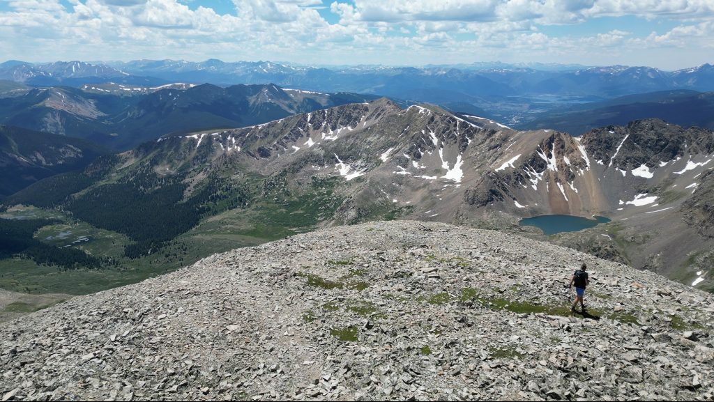
Believe it or not, I haven’t yet created a video for the standard trail up Torreys Peak. However, you can watch a bunch of different variations of me summiting Torreys Peak on my YouTube channel.
Torreys Peak Trail Map & GPX
The map below shows the route that I followed for this hike, believe it or not, I have never just hiked Torreys Peak on its own so this shows the Grays & Torreys Peak combination route. GPX files are available through a suggested donation of 3-5. Creating and maintaining hiking guides, videos and GPX files takes a tremendous amount of time. Your support helps keep The Virtual sherpa running, covers website hosting costs and allows me to continue creating free hiking content.
After making a donation, click the button below to send me an email with the hike name in the subject line. I’ll send the GPX file as soon as possible.
Torreys Peak Directions & Parking
Protected Area Type: National Forest
Protected Area Name: Arapaho National Forest
Trailhead: Grays Peak
Coordinates: 39.660824, -105.784576
Directions to Trailhead: Grays Peak Upper Trailhead, Grays Peak Lower (winter) Trailhead
Driving Directions: From I70, exit at Baker Gulch at Bakerville exit. If hiking during late fall, winter or spring months or if you have a low clearance car, park here and walk up the road for 3 miles to reach the upper trailhead. If you have a higher clearance AWD or 4×4, continue up the road that is dirt and starts rough but gets rougher. The road changes month to month and year to year but generally stock AWD and above vehicles can get to the upper trailhead. There is another small parking area about a mile up the road. Note: Please put your vehicle into AWD or 4×4 if you can and do not spin out on this road. Maintenance of the road is a huge issue year over year.
Parking: The road up to the Grays Peak trailhead is shared with private residences and people illegally parking has become an issue over the years. The upper lot is big, but will fill up early on most weekends and some weekdays. If this lot is full, DO NOT PARK in private areas or blocking the road.
Permits or Reservation/Fee Description: As of 2026, no parking fee or reservation is required to hike Torreys Peak.
Torreys Peak Overview
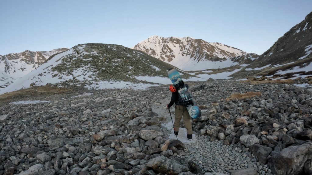
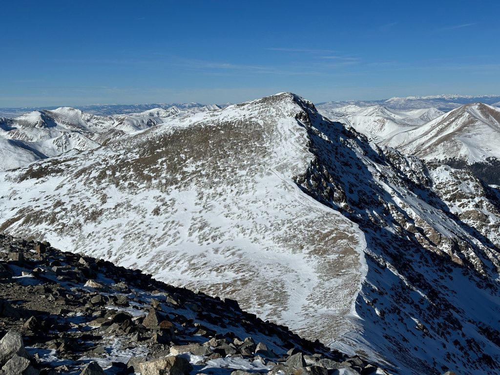
The standard hike up Torreys Peak follows a well-defined trail that starts above treeline in the willows and slowly climbs into the Upper basin of Stevens Gulch. Unlike many Colorado 14ers that feature steep, relentless ascents from the start, Torreys Peak offers a more moderate grade for much of the start of the route. The trail is easy to follow, route finding is minimal and hikers are treated to expansive views almost immediately after leaving the trailhead.
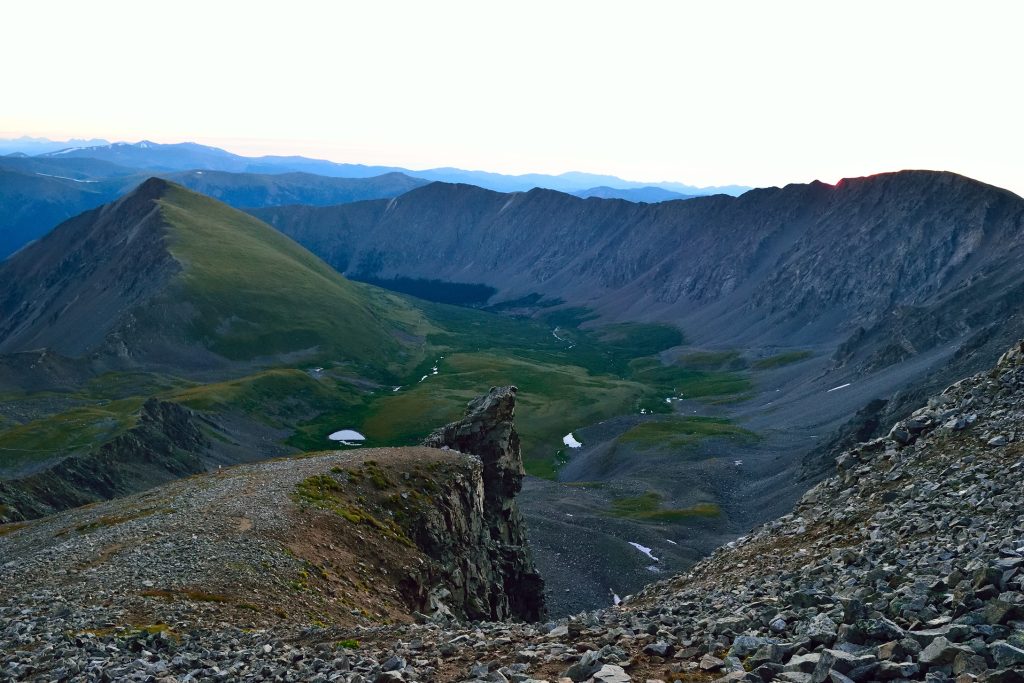
As the hike progresses, the trail works its way through open tundra terrain toward the lower slopes of Grays Peak. Hikers will pass the route to Kelso Ridge and then the climbing starts in earnest to gain the upper slopes of Grays Peak. About ½ way up Grays Peak, the trail splits; right offers a more direct route to Torreys Peak if you do not plan on adding both 14ers. If you do plan on adding on Grays Peak, you can stay left here and then descend from Grays Peak back to the shoulder between the two 14ers. From the shoulder of Torreys Peak, hike up a steep, loose, dirt trail with lots of social trails along the way. Reach the summit and retrace your steps to get back to the car.
Plan Your Hike
Best Season: Typically Torreys Peak is best hiked July – October. Torreys Peak can be hiked year-round from I70 and offers some awesome backcountry snowboarding or skiing lines. In winter and spring months, be sure to understand avalanche danger as the slopes are prone to sliding. A winter attempt of Torreys peak will be nearly double the distance as the standard summer route.
Check Weather: Torreys Peak Weather
Camping: Limited camping is available along the road up to the trailhead and although people often camp near the trailhead, it is prohibited. Sleeping in your vehicle is generally okay, but please follow Leave No Trace principles and stay off any private land in the area.
Bathrooms: The upper trailhead does have a few vault toilets but I would recommend bringing your own toilet paper.
Hazards: Lightning, Rockfall, Wildlife
Dog Description: Torreys Peak is a dog friendly Colorado 14er for most seasoned hiking dogs. This hike is generally extremely busy so please always pick up after your dog and keep them on a leash when other people are around. Read a list of other dog friendly 14ers here.
Water Sources: At the start of the hike there is a stream that generally runs year round but once you leave that, there are no reliable water sources.
Drones: Although drones are allowed on Torreys Peak, I would recommend flying with caution as there are generally lots of other hikers around and it is illegal to fly over large crowds. Additionally, the winds on the mountain, even if lower down low can have an issue with controlling your drone. Please always follow all drone regulations.
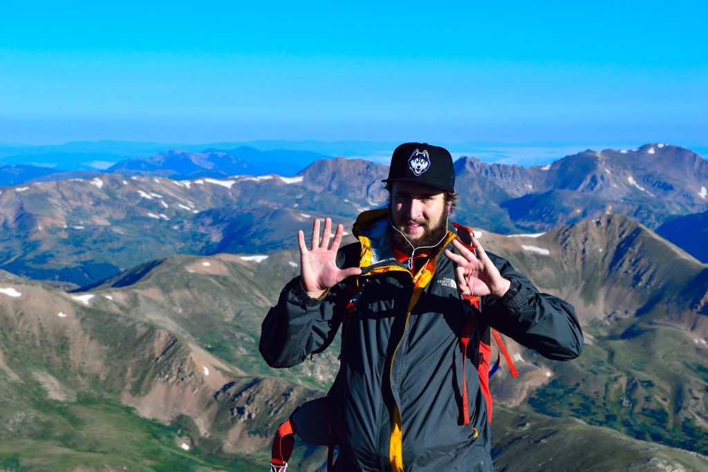
Hike Tip(s): Torreys Peak is going to be extremely crowded on most weekends and even some weekdays. If this is one of your first 14ers, be sure to check the weather, plan your start time appropriately and bring plenty of water and food. Over the years, I have found that getting to the trailhead around 9-10am, even on weekends, allows for easier parking at the upper trailhead. This of course is only possible when the weather is good. Looking for less crowds on Torreys Peak? Plan a hike during late October or early November months or on fall weekdays.
Best Views: Torreys Peak offers tremendous views from the second you leave the trailhead to the time you gain the summit. The best views from Torreys Peak are on the summit looking north and west.
Primary Attractions: Wildflowers, Summit Views, Wildlife
Gear Needed
New to 14ers? This is What to pack for a 14er day hike.
Required Gear
- Hoka Mafate 5 – My go to hiking shoes and trail runners
- La Sportiva Cyklon – Great for scrambling
- Osprey Talon 22 Backpack
- Sunglasses
- Running Hat
- Base Layers
- T Shirt
- Mid Layer / Sun Hoodie
- Rain Jacket / Shell – Black Diamond
- Mountain Hardwear Puffy Jacket
- REI Sahara Pants
- North Face Wander Shorts
- Socks
- Hiking Poles – 120CM
Seasonal Gear
Optional Gear
- Helmet
- Water Filter
- Garmin inReach
- Headlamp
- Garmin Fenix Watch
- UD Running Vest
- Osprey Running Vest
- Film Gear: GoPro, Joby Tripod, Selfie Stick, GoPro Max 2 , Drone, Insta360
- *Links included in this description might be affiliate links. If you purchase a product or service with the links that I provide I may receive a small commission. There is no additional charge to you.