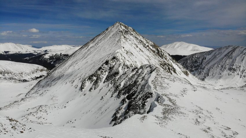
Quandary Peak Winter Hike Guide
A Quandary Peak winter hike is a good option for those looking for gain experience in snowy conditions on a Colorado 14er. The trailhead is accessible during the winter months with no permit required, the trail has almost no additional mileage vs the summer route and the peak is relatively free of avalanche terrain if you stay on route. Quandary Peak is one of the easiest winter Colorado 14ers but this hike is far from easy, even on a good day. The weather can be brutally cold, winds can blow snow making route finding important and of course additional gear is required to stay safe on this hike. This hike guide will cover everything you need to know about Quandary Peak and hopefully provide you with the tools to get to the summit and back!
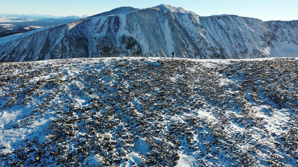
Quandary Peak Winter Quick Facts
| Category | Details |
| Hike Rating | ★★★ ★ (4/5) |
| Area | Tenmile Range, Colorado |
| Trailhead | Quandary Peak |
| Distance | 6.75 Miles Total |
| Route Type | Out and Back |
| Elevation Start | 10,898ft |
| Highest Elevation | 14,265ft |
| Total Elevation Gain | 3,450ft |
| Estimated Time to Complete | 4-5 Hours Total |
| Difficulty | Moderate – What does this mean? |
| YDS Class | Class 1 – What does this mean? |
| Exposure | Low |
| Best Season | July – October |
| Activity Type | Hiking, Trail Running, Backcountry Snowboarding, Ski Mountaineering |
| Crowds | High |
| Dogs Allowed | Yes |
| Permit/Fee | Yes* |
| Last Hiked Date | 8.23.26 |
Alternative Routes Up Quandary Peak in the Winter:
Quandary Peak Winter Virtual Trail Guide
This virtual trail guide shows Quandary Peak with relatively typical winter conditions.
Hike Route Map & GPX
The map below shows the route that I followed for this hike, please note that this is different than the standard summer route as the trail is more direct on the ridge avoiding avalanche terrain on the south side of the mountain. GPX files are available through a suggested donation of $3-$5. Creating and maintaining hiking guides, videos and GPX files takes a tremendous amount of time. Your support helps keep The Virtual sherpa running, covers website hosting costs and allows me to continue creating free hiking content.
After making a donation, click the button below to send me an email with the hike name in the subject line. I’ll send the GPX file as soon as possible.
Quandary Peak Winter Directions & Parking
Protected Area Type: National Forest
Protected Area Name: White River National Forest
Trailhead: Quandary Peak
Coordinates: 39.38214673937256, -106.06311787297929
Driving Directions: The Quandary Peak hike starts at the base of Hoosier pass in a large parking lot and not the trailhead marked on Google Maps. The entire road to the trailhead should be paved minus about 100ft of dirt road before the parking lot so if you find yourself driving on a dirt road, you are in the wrong spot.
Parking: As of 2026, Quandary Peak continues to require a reserved parking spot from mid June through mid September. However, since this is a winter version of the hike, a parking permit and fee is not required and parking is first come, first served.
Permits or Reservation/Fee Description: Quandary Peak requires a parking reservation or shuttle if hiking from mid June – mid September but since a Quandary Peak winter hike is outside of these months, no permit or fee is required.
Quandary Peak Trail Overview
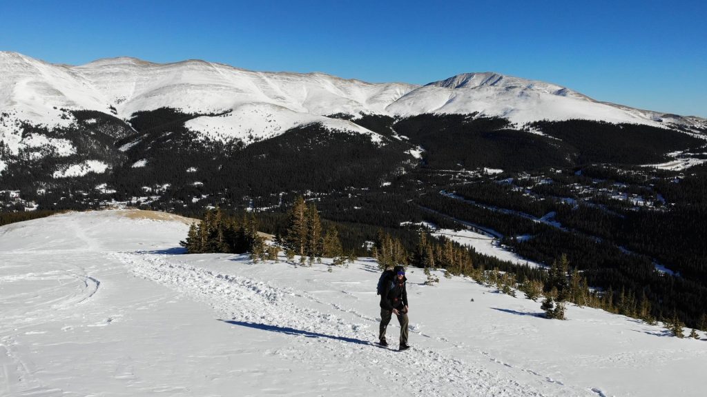
The Quandary Peak hike starts at the large parking area off Hoosier Pass, hike through the woods to McCullough Gulch Road and continue along the road for a 1/4 mile until reaching the start of the 14er trail on the left. Hike up through the woods, staying straight at all trail junctions and steadily gaining elevation along the way. Continue up the trail, slowly breaking treeline and working through a series of fields before doing so. Around 11,600ft, the trail flattens out and shortly after begins climbing another slope.
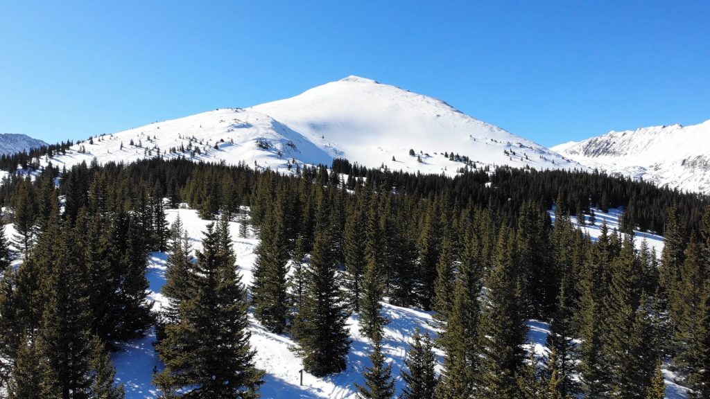
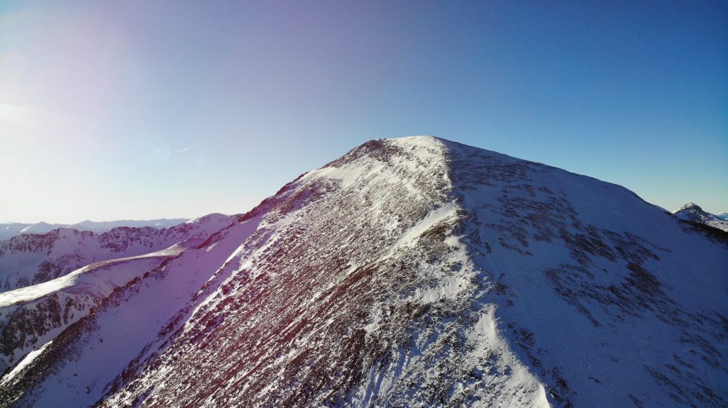
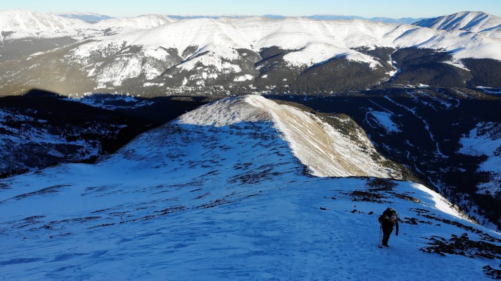
From here, the trail breaks treeline and works left to eventually join back up to the ridge crest and around 12,800ft will rejoin the rocky ridge. The entire rest of the hike is above treeline on rocky terrain and exposed to the weather. Continue if conditions and weather allow. Continue slowly climbing the class 1 ridge of Quandary Peak with a number of false summits along the way. The trail has been rerouted in recent years so be sure to stay on it! Around 13,100 on the Quandary Peak hike, you will finally see the summit and remainder of trail. Carefully climb the last section of trail and walk to the summit of this popular Colorado 14er. Retrace your steps exactly back to the trailhead.
Plan Your Hike
Best Season: July through October is the best time to hike Quandary Peak with dry conditions if you are hiking expect outside of this period, expect snow conditions and read the Quandary Peak winter hike guide.
Check Weather: Quandary Peak Weather
Camping: Camping near Quandary Peak is somewhat difficult because almost a lot of the land around the mountain is private. However, if you drive down McCullough Gulch Road, there are a handful of car camping areas but please do not create new ones, follow all signs and of course, please always practice Leave No Trace.
Bathrooms: Quandary Peak typically has a handful porta potties at the trailhead but bring your own toilet paper. This is a heavily trafficked hike, if you do need to go to the bathroom while on the trail, please pack out your waste or bury it properly if below treeline.
Hazards: Lightning, Wildlife, Weather Exposure, Avalanche Terrain
Avalanche Danger: A Quandary Peak winter hike presents an avalanche risk, even in spring months. If you stick to the standard route, you can avoid a lot of avalanche terrain. However, getting off the winter route can easily put you into avalanche terrain and even a small slide could be deadly. Due to the complicated nature of the terrain, please understand the conditions and risks before heading out. Its recommended to read winter hiking tips and watch this high level avalanche awareness video at a bare minimum.
Dog Description: Quandary Peak is one of many Colorado 14ers that are dog friendly. The trail up to the summit is mostly packed dirt with some loose gravel and rock towards the summit. If you plan on bringing your dog, bring lots of water as most of the hike is exposed and there are no water sources along the way. Please keep your dog on a leash as this hike is incredibly popular with lots of wildlife and of course always pick up after your dog.
Water Sources: Quandary Peak has no running water along the entire hike, bring what you need to get to the summit and back.
Drones: Quandary Peak is in a National Forest so its an okay to spot to fly your drone. However, please ensure that you avoid flying over crowds of people and animals and always follow all drone regulations.
Hike Tip(s): If Quandary Peak is one of your first 14ers, it is a solid choice for beginners but certainly not an easy hike. Be sure to pack multiple layers, check the weather often and of course bring lots of calories and fluids. This post talks about what to pack for a 14er hike if you are not sure. If you are looking to beat the crowds, hike Quandary Peak outside of the June – September parking reservation window or (only when weather allows), head up Quandary Peak during the afternoon. This option is only recommended for experienced and properly prepared hikers who know how long a 14er hike will take them.
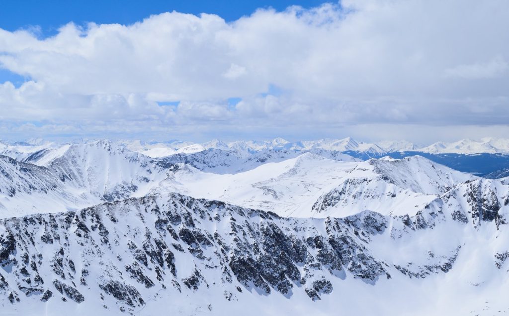
Best Views: Quandary Peak is an excellent spot to photograph the sunrise, stars and even sunset. Most of the mountain is exposed and the summit provides 360 degree views of many neighboring ranges and mountains. Quandary Peak is known to have mountain goats grazing its high elevation grass fields, so bring your favorite wildlife lens as well. Overall, the views on Quandary Peak are fantastic, especially for a 14er that is so accessible.
Primary Attractions: Summit Views, Wildlife, Solitude
Gear Needed
Required Gear
- Winter Backpack Winter
- La Sportiva Trango Hiking Boots (Men’s)
- La Sportiva Mountaineering Boots
- Microspikes
- Gaiters
- Black Diamond Gloves
- Sunglasses
- Hat
- Base Layers
- T Shirt
- Mid Layer
- Rain Jacket/Shell
- Puffy Jacket
- Pants
- Snowpants
- Socks
- Hiking/SkiPoles
- Mountain Axe
- Petzl Irvis Hybrid Crampons
- Crampon Bag
Optional Gear
- Climbing Helmet
- Headlamp
- Garmin inReach
- Garmin Fenix Watch
- Water Filter
- Splitboard Boots: Deeluxe Spark
- Splitboard Boot Crampons
- Snowshoes
- Beacon
- Probe
- Shovel
- Splitboard
- Optional: GoPro, Joby Tripod, Selfie Stick, GoPro Max 2, Drone, Insta360
- *Links included in this description might be affiliate links. If you purchase a product or service with the links that I provide I may receive a small commission. There is no additional charge to you.
More Hikes in the Area
- Quandary Peak West Ridge
- Fletcher Mountain
- Pacific Peak East Ridge
- North Star Mountain
- Mt Silverheels
2 thoughts on “Quandary Peak Winter Hike Guide”
Hi Mickey,
Might be kind of a wierd question, but what pants do you recommend for winter hiking? Are regular snow pants sufficient?
It depends on weather, but I am generally just wearing typical hiking pants with gaiters. If snow is super deep or weather really windy, may pivot to goretex pants.