Mount Oklahoma 13er Hike Trail Guide
Mount Oklahoma is the infrequently hiked neighbor of 14er Mt Massive. The summit sits just shy of 14,000ft making it the 85th highest peak in the state. The hike up to Mount Oklahoma mostly follows no official trail with several sections completely without any sort of path to follow. Hiking tops out at class 2 but has some nasty trail conditions that one must hike before getting to the ridge line.
Mount Oklahoma Quick Facts
Virtual Trail Guide: Mt Oklahoma
Mt Oklahoma Rating: ★★★ (3/5 Stars)
Distance: 8-9 Miles RT
Elevation Start: 10,535ft
Highest Point: 13,852ft
Total Elevation Gain: 3,300ft
Estimated Time to Complete: 6-8 Hours RT
Difficulty: Moderate to Difficult Difficulty System Explained
Class: Class 2 What does this mean?
Season: Late June- Early December (Expect snow outside of this period)
Weather: Check the Weather Forecast
Directions to Mount Oklahoma
Trailhead: North Halfmoon Creek
Getting Here: From US24 just outside of Leadville, take CO300 for .8 miles and then turn left on Halfmoon Road. Continue for 1.3 miles and then take a right to stay on Halfmoon Road. Continue for 8 miles to reach the upper TH. The road turns to dirt very quickly and can get rough in sections but is driveable for most passenger cars to about .5 miles from the upper TH. After this point, you will need a higher clearance 4×4 to get over 2 small rock sections. The signed trailhead is on your right and the trail starts shortly after that.
Fees: There is no fee to hike Mount Oklahoma.
Parking: If you are able to get to the upper TH, parking space will not be an issue. However, if you can’t, parking could be a problem. About .4 miles from the TH there are spots for about 2-3 cars to park on the side of the road and before that, several other scattered camping spots/pull-offs to park. When parking on the side of the road, please do so responsibly knowing that parking in turn around spots takes away the opportunity for passenger cars to do so. In most cases, you will have to add about a mile of hiking (round-trip) if you are not able to get to the upper TH. Once you drive past the Mt Elbert parking lot, there are no restrooms along the road
Summary
Camping: Mount Oklahoma has a ton of spots to camp including near the TH and along Halfmoon Road to the TH. Dispersed camping is most common, but there are a few campgrounds as well closer to Mt Elbert.
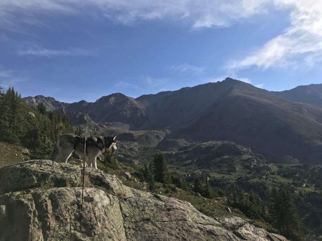
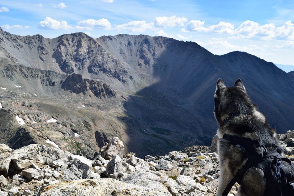
Dogs: Mt Oklahoma is a dog friendly hike but does enter a wilderness area which requires dogs to be leashed at all times.
Make it a Loop: This hike is an out and back hike with the ability to add on Mt Massive if you want to extend your hiking.
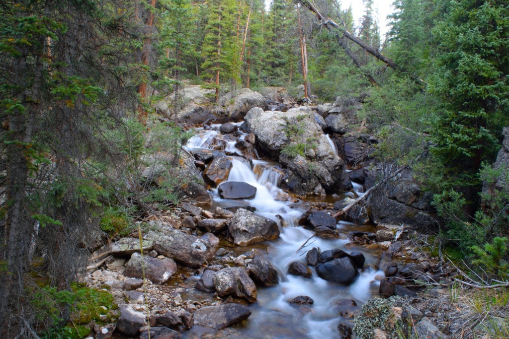
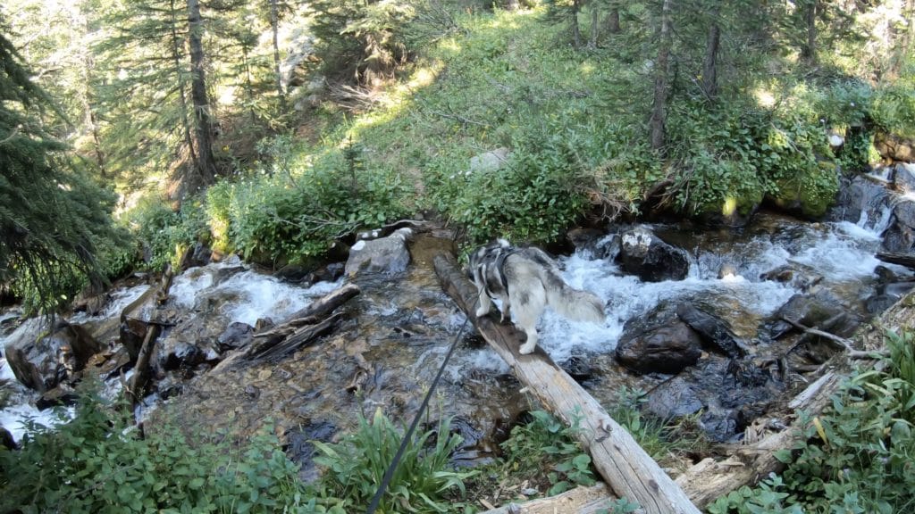
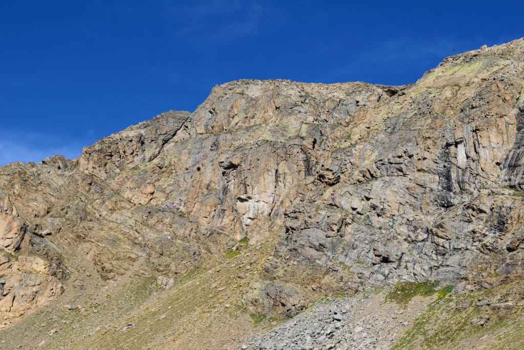
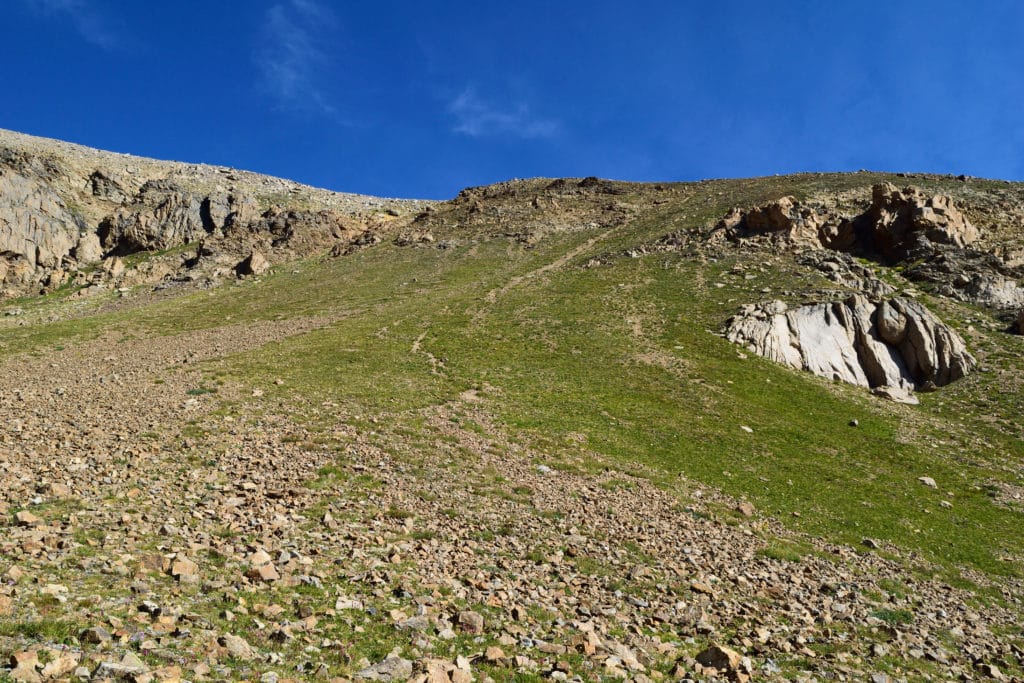
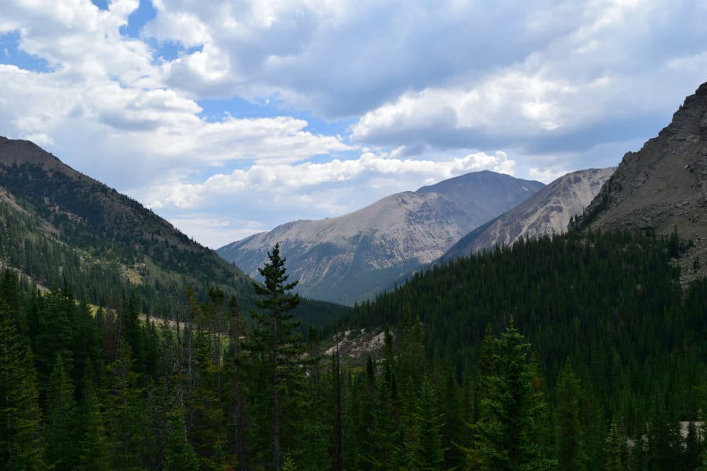
Trail X Factors: When hiking many Colorado 13ers a lack of an official trail is common. This is the case on the hike up to Mt Oklahoma’s summit. Although you follow an established trail for 2ish miles, after that you leave the path to make your own way through the dense woods and up the steep slopes of Mt Oklahoma. Getting lost in the woods and experiencing very poor trail conditions will most likely be part of your day on the way up to the summit.
Hike Tip(s): I usually bring a GPS device as an extra opinion/set of eyes when I am unsure of a situation. I would go as far to say that a GPS for this hike is almost a requirement for hiking Mt Oklahoma. Could you hike it without one? Sure, but you will probably end up adding on a bunch of extra hiking and potentially getting very lost. About 2.5 miles into the hike after crossing a large rock outlook, your unofficial trail will start. This is the point where you will want to be on your toes as to what direction you are traveling and where you are hiking.
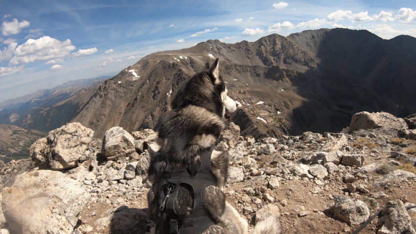
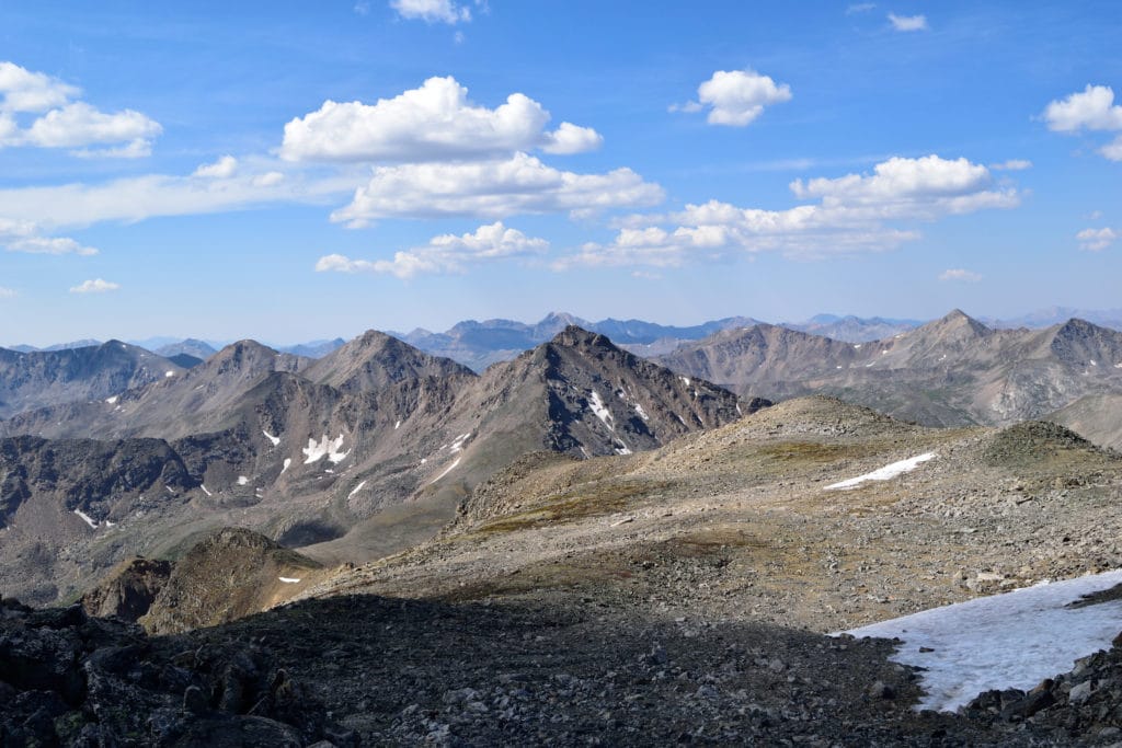
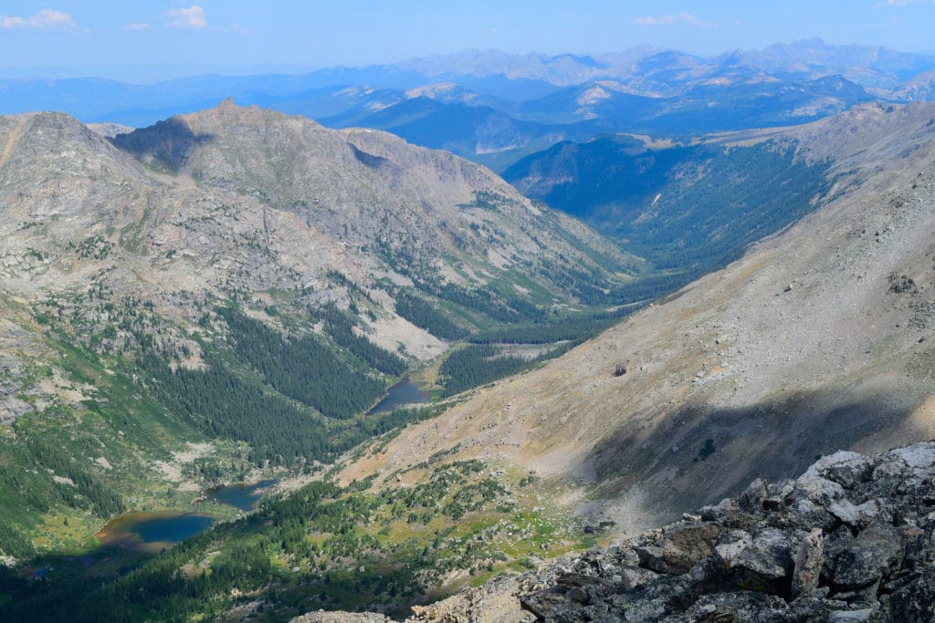
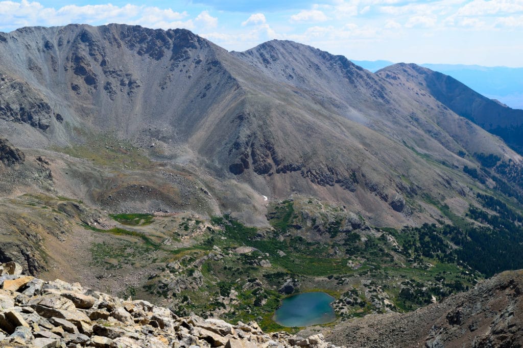
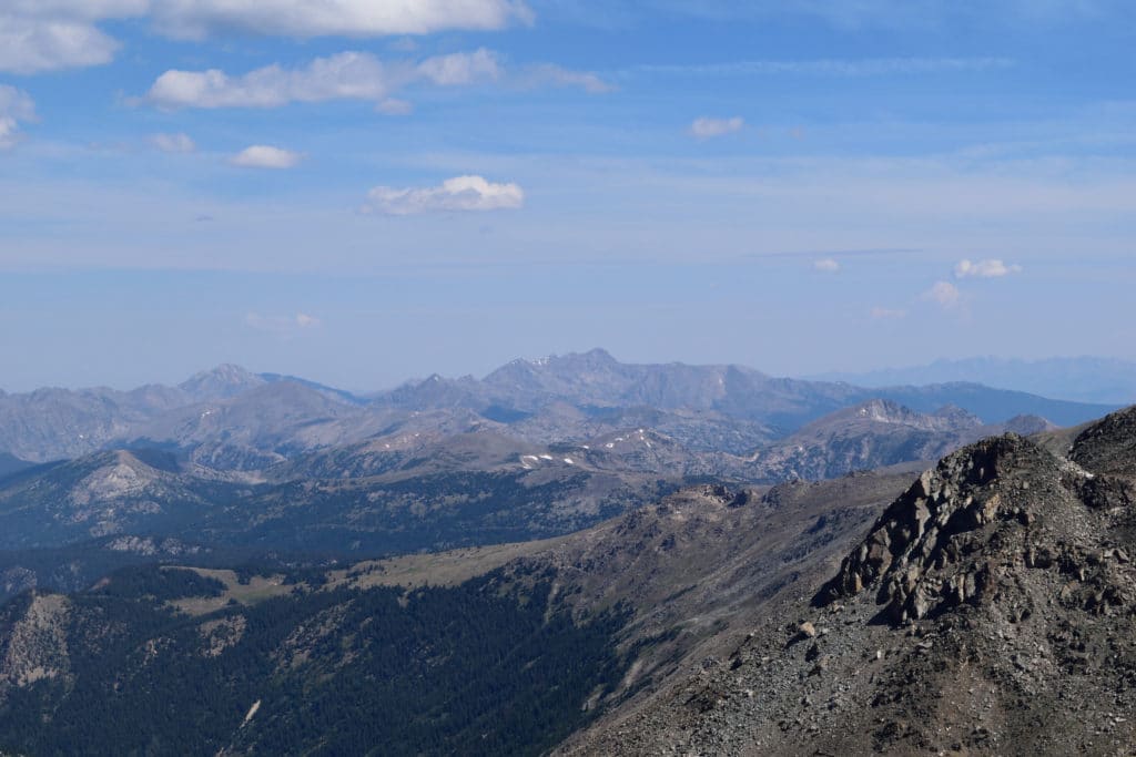
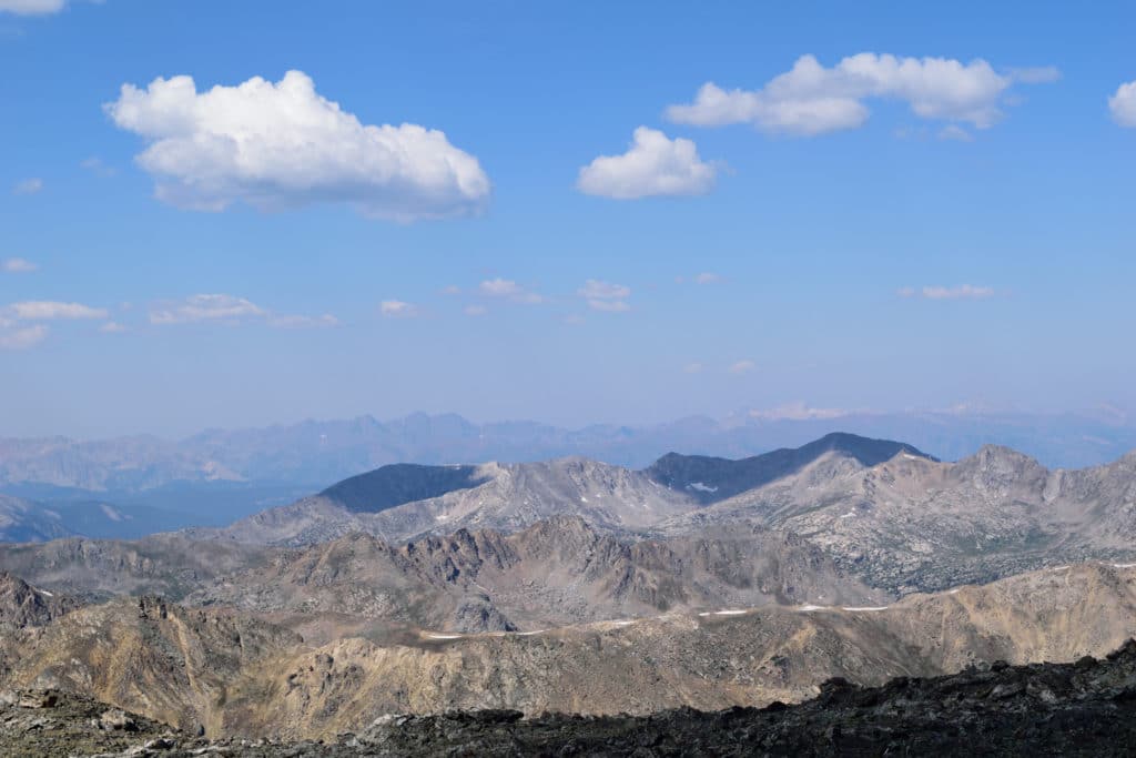
Best Views: Mt Oklahoma has outstanding views once you leave treeline and from the summit itself. On a clear day you will be able to see excellent views of neighboring Mt Massive, the Elk Mountains to the west and the other Collegiate Peaks in the vicinity. Since the hike is typically not very popular, chances are you will be able to enjoy these views by yourself.
Mount Oklahoma Hike Route
Gear Needed
- 14er Packing List
- Backpack
- Hiking Shoes or Hiking Boots
- Map of area or GPS – I use the Garmin inReach
- Hiking Poles
- *Links included in this description might be affiliate links. If you purchase a product or service with the links that I provide I may receive a small commission. There is no additional charge to you.
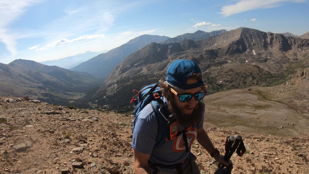
My Trip to Mount Oklahoma: August 2020
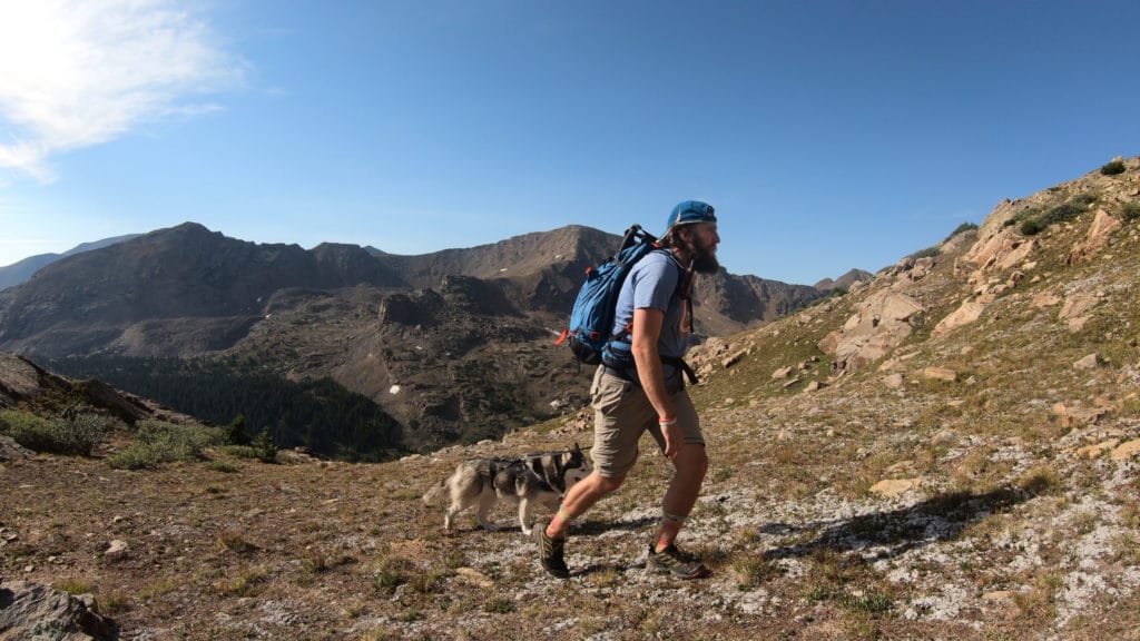
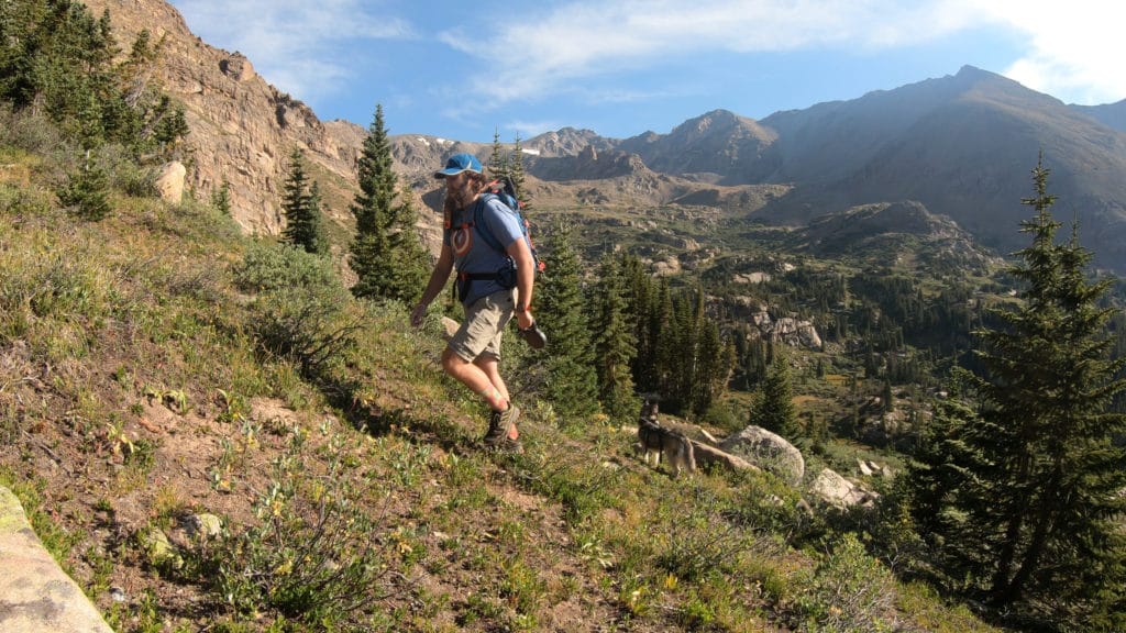
I always feel like I need to balance hikes that I want to do and hikes that I can bring Juno along. Mt Oklahoma was the latter. Juno and I had previously hiked Mt Massive just a few months before and were ready to tackle its equally impressive neighbor.
Familiar with the approach, we made the drive to the TH and hike into the trail junction in relatively short time. After this point, the hiking turned into type 3 fun. We got lost in the woods for a bit trying to find the correct route above treeline. Once above treeline, we had a lovely time with the loose, impossible to grip dirt and gravel that covers the west slope that we had to ascent in order to summit Mt Oklahoma. On a positive note, we did have the summit to ourselves with amazing views in almost all directions.
Mount Oklahoma Virtual Trail Guide
Questions or comments about the hike up Mt Oklahoma? Leave a comment below or follow me on Instagram!