
Mt Moosilauke Hike Guide
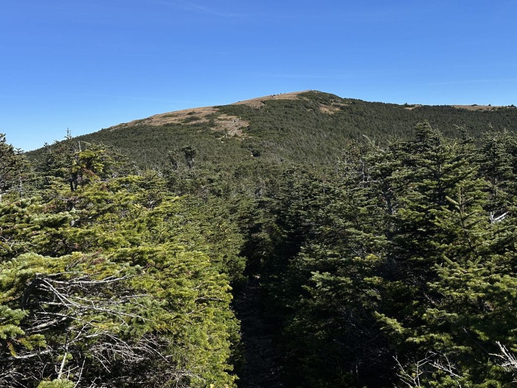
Mount Moosilauke is a popular 4,000+ foot mountain located in the White Mountains of New Hampshire. Sitting about 20 minutes from Lincoln, this hike has a number of ways to its summit including one of the Terrifying 25 routes up the Beaver Brook trail. For this guide, I am focusing on the other side of the mountain which is much more popular and a great hike for all skill levels. Mount Moosilauke has a granite summit which gives tremendous 360 degree views on a clear day. This peak is one of the 48 on the NH48 list (ranked peaks over 4,000ft).
Mount Moosilauke Quick Facts
Virtual Trail Guide: Mount Moosilauke Loop
Hike Rating: Mount Moosilauke (3/5 ★★★ Stars)
Distance: 10.30 Miles RT
Elevation Start: 2,406ft
Highest Point: 4,802ft
Total Elevation Gain: 2,947ft
Estimated Time to Complete: 3-5 Hours Total
Difficulty: Moderate Difficulty System Explained
Class: Class 2 – What does this mean?
Season: Year Round, expect snow December – April
Weather: Check the Weather Forecast
Directions to Mount Moosilauke
Trailhead: Moosilauke Ravine Lodge
Getting Here: From Interstate 93, take exit 32 to NH 112 and continue for about 3 miles until you take a left on NH 118 South (Sawyer Highway). Drive for 7.1 miles and then take a right on to Ravine Road. After about a mile, parking will start but continue as far as you can to reach the end of the road and the parking spots that line the road. This road is dirt but passable for all vehicles.
Parking: There is no parking lot for Mt Moosilauke, all parking is along the road before the trailhead. There are no restrooms at the parking lot unless you are able to go into the lodge itself. On a busy weekend, you may end up parking up to a half mile away from the trailhead.
Fees: None as of 2024
Summary
Camping: The best spot to camp along Moosilauke would be once you hop on the Appalachian Trail and before reaching the alpine zone near the summit. The most obvious place to stay is at the Ravine Lodge but there is also a campground in the area, the Lost River Valley Campground.
Dogs: Mount Moosilauke is a dog friendly hike. Just be sure to keep your dog on a leash once you get into the alpine zone above the treeline.
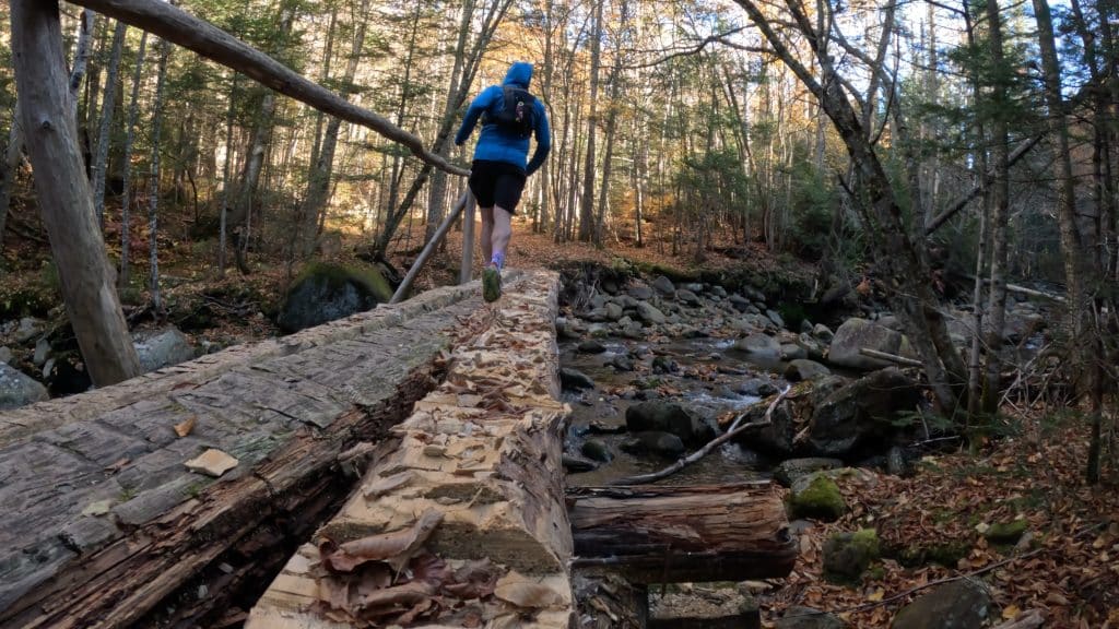
Make it a Loop: Mt Moosilauke can be hiked in a variety of ways including the Terrifying 25 route from the Beaver Brook trail. However, the route that I ran in addition to the George Brook trail are the two most popular. If you want a bigger day, you could easily hop on the Appalachian Trail as well.
Trail X Factors: Weather on Summit
Like any hike in the White Mountains, the views on top (which for some dictates the entire experience of the hike) will entirely depend on the weather. Cloudy/rainy day? Mount Moosilauke will probably not be a very good option. However, when the weather is clear and visibility is good, the summit views are truly excellent in all directions.
Hike Tip(s): If you are looking for a shorter version of Mt Moosilauke, you can just hike the standard way up and down the George Brook trail. There will be a lot more people for this version but also a lot less miles than what I am describing in this post.
Best Views: In comparison to many mountains in New Hampshire, Mt Moosilauke has some amazing summit views on a clear day. South Moosilauke (South Peak) also has great views in addition to a number of small viewpoints on the way to the summit. Overall, this is an excellent spot to take in the Fall Foliage or Summer green of the White Mountains.
Mount Moosilauke Hike Route
Recommended Gear
- Men’s Trail Runners
- La Sportiva Cyklon
- La Sportiva Trango Hiking Boots (Men’s)
- Backpack (Winter)
- Backpack (Summer)
- Food & Water
- Optional: Water Filter
- Optional: Garmin inReach
- Optional: Hiking Poles – 120CM
- Optional: Headlamp
- Optional: Garmin Fenix Watch
- Optional: GoPro, Joby Tripod, Selfie Stick, GoPro 360, Drone, Insta360
- *Links included in this description might be affiliate links. If you purchase a product or service with the links that I provide I may receive a small commission. There is no additional charge to you.