Phoenix Peak Colorado Hike Guide
Phoenix Peak, previously named UN 13,895, is a 13er and centennial (highest 100 peak) in Colorado. Located in the San Juan Mountains, this hike consists of mostly off trail hiking with lots of navigation required. Although there are multiple ways to gain the summit, the most popular is from the South/West slopes. Be prepared for a tedious, long day if you plan on checking off this summit.
Phoenix Peak Quick Facts
Phoenix Peak Rating: ★★★ (3/5 Stars)
Virtual Trail Guide: Phoenix Peak
Distance: 10-11 Miles RT
Elevation Start: 9,864ft
High Point: 13,904ft
Total Elevation Gain: 4,917ft
Estimated Time to Complete: 6-8 Hours Total
Difficulty: Moderate to Difficult What does this mean?
Class: Class 1 – What does this mean?
Season: June – November (expect snow / road closures outside of this period)
Directions to Phoenix Peak
Trailhead: CR502
Getting Here: From Creede Colorado, take CR503 for about a half mile until you reach a road split, CR502 on your right. Take this road and continue about 4 miles to reach a medium sized parking area on your right. There is an informational sign here. If you have a passenger vehicle, park here. For higher 4×4 clearance cars with an experienced driver, you can continue up CR502 to a rough 4×4 road, 501a. From this split, it’s another 1.5-2 miles until the “trail starts”. This road is very rough to start and towards the end usually because of spring water runoff forming runnels in the road.
Parking: There are three main areas to park for Phoenix Peak. The lower TH as described above, the road switchback where 501a starts and then along 501a towards Phoenix Park. The latter two options can only fit a few cars. There are no restrooms along the way once you leave Creede. Parking will likely not be an issue for this hike as it’s extremely unpopular.
Permits/Fee: No fee required.
Summary
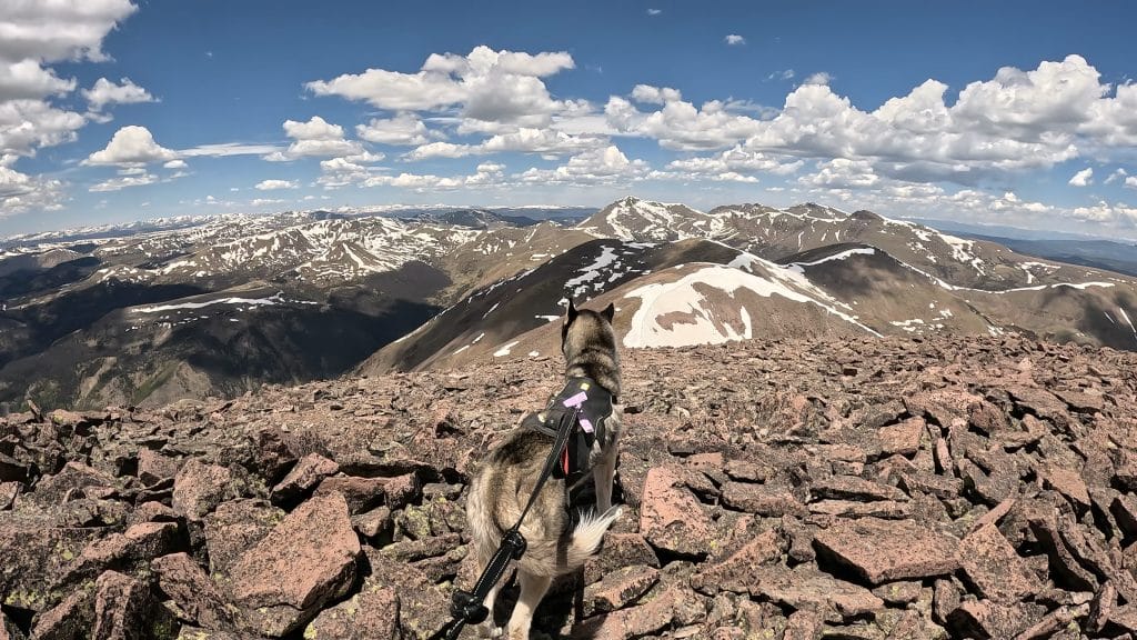
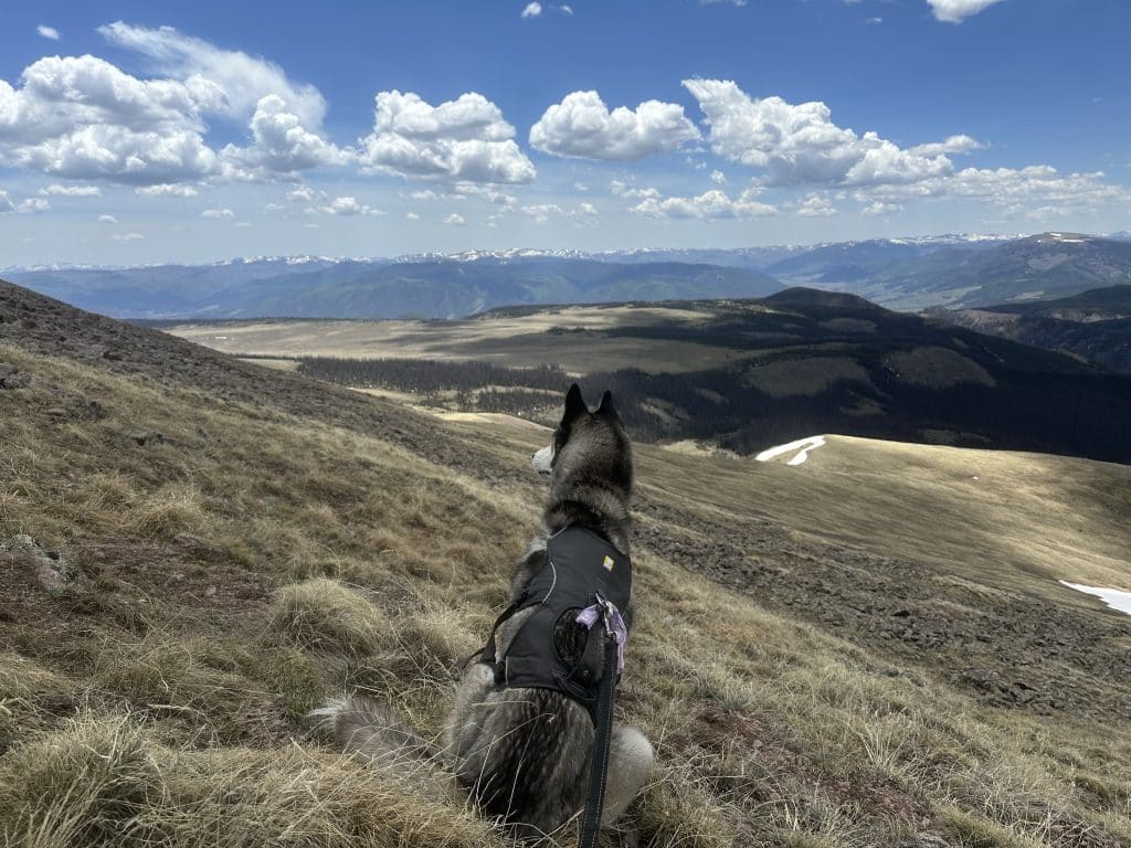
Dogs: This hike is dog friendly but expect your dog to get very wet as there is A LOT of water to deal with, especially in the early Summer months.
Camping: Camping for Phoenix Peak is surprisingly difficult. There are a few spots along CR502 but please be very careful of private land. Once onto 501a, there are two spots on the left about a ¼ mile up the road. After that, there are more spots about a mile in but they are very limited due to flat land and running water.
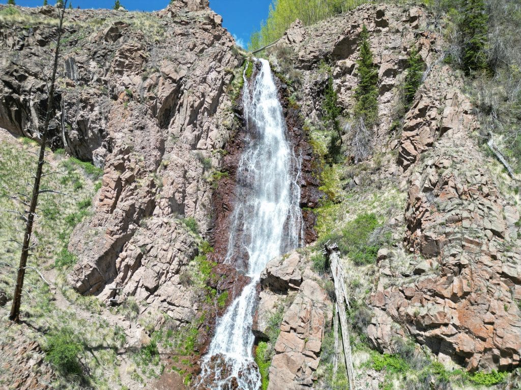
Make it a Loop: This is an out and back hike but the best addition to add on would be Phoenix Falls. Likely, you will see these falls roaring during the early summer months and if this is the case, it’s worth the extra 3 miles of hiking. In order to get to the falls, continue past the Phoenix Peak trail start up 501a until it ends and follow the well marked trail up to the waterfall.
Trail X Factors: Lack of Trail
Like many 13ers in Colorado, Phoenix Peak does not have an official trail for almost the entire hike. Be prepared to do lots of route finding and have a .gpx track to follow is strongly recommended. If following mine below, I would not use my descent track and simply repeat my ascent track back to the start.
Hike Tip(s): If hiking this mountain, there is a STRONG chance your feet are going to get wet. Starting with the initial beaver dam crossing and continuing along a series of creeks will likely leave your shoes/boots and socks in rough shape. If hiking in the late Spring or Summer, I wouldn’t even bother trying to find a way across the initial beaver dams to keep your feet dry. There is no bridge and a natural one would be rare.
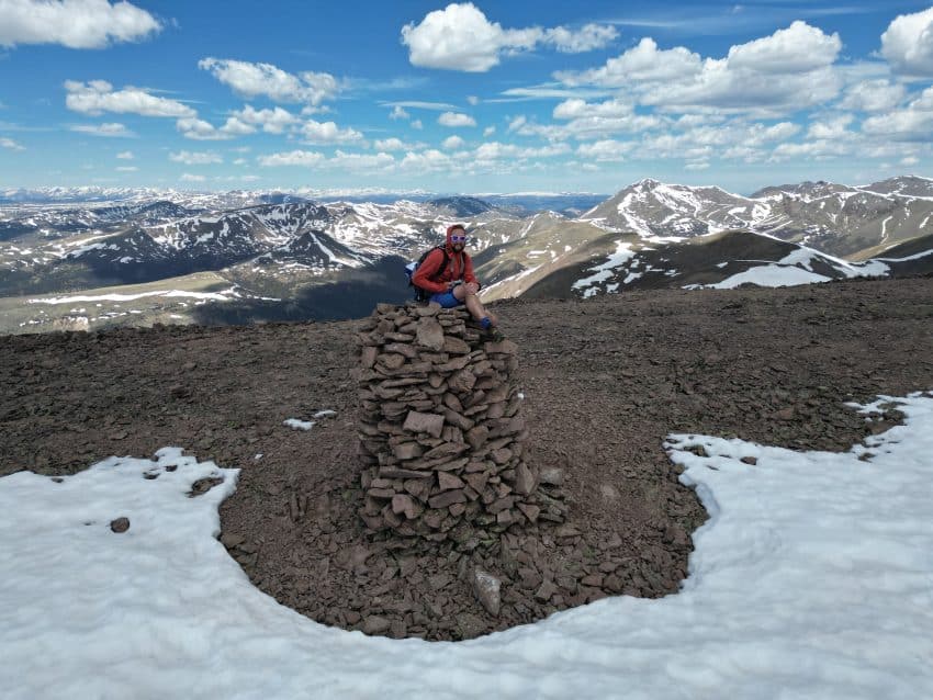
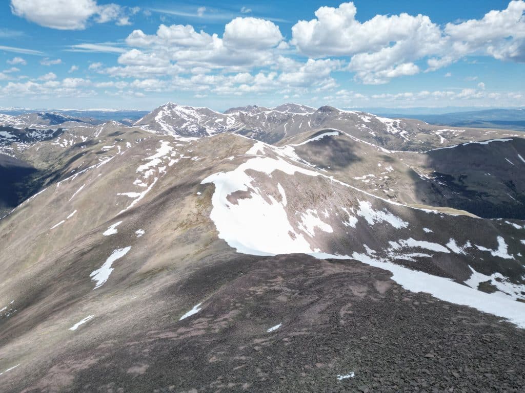
Best Views: Phoenix Peak did not have my favorite views until we reached the summit. From the summit, the views West deeper into the San Juans are stunning on a clear day.
Phoenix Peak Hike Route
Follow my line up both ways. I also added Phoenix Falls.
Gear Needed
- 14er Day Hike Packing List
- Men’s Trail Runners
- Women’s Trail Runners
- La Sportiva Trango Hiking Boots (Men’s)
- La Sportiva Trango Hiking Boots (Women’s)
- La Sportiva Cyklone
- Backpack (Winter)
- Backpack (Summer)
- Running Vest Black
- Food & Water
- Optional: Garmin inReach
- Optional: Hiking Poles – 120CM
- Optional: Headlamp
- Optional: Helmet
- Optional: Garmin Fenix Watch
- Optional: GoPro, Joby Tripod, Selfie Stick, GoPro 360, Drone, Insta360
- *Links included in this description might be affiliate links. If you purchase a product or service with the links that I provide I may receive a small commission. There is no additional charge to you.
One thought on “Phoenix Peak Colorado Hike Guide”
Thank you so much for this post! I couldn’t find any recent info on this peak and your post is so comprehensive. I’m glad to feel like I’ll know what I’ll be getting into on this hike. Thanks again.