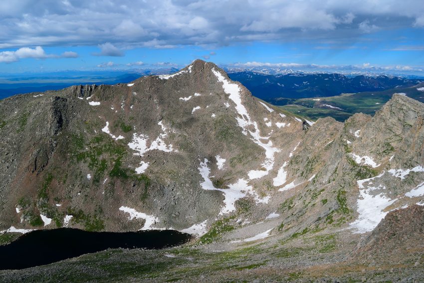
Sawtooth Ridge Colorado 14er Hike Guide
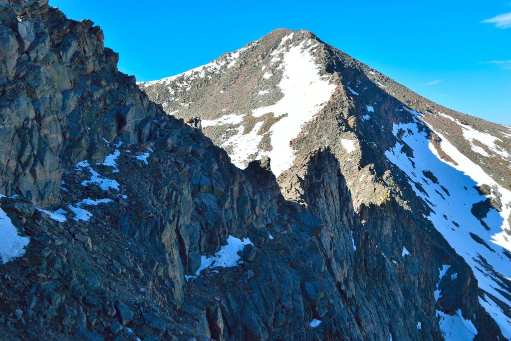
The Sawtooth Ridge is a classic class 3 scramble connecting popular Colorado 14ers Mt Bierstadt and Mt Blue Sky. This is a great intro scramble for those looking to gain some experience but certainly not an easy day. Located about an hour from Denver, the Sawtooth Ridge starts after summiting 14er, Mt Bierstadt and gives hikers a number of options to choose from more or less exposed moves and with some additional hiking, can easily take hikers over to neighboring Mt Blue Sky before ending back at Guanella Pass. The ridge is extremely dangerous if it is wet or snow covered but with the proper gear and experience, this is a fun scramble.
Sawtooth Ridge to Mt Blue Sky Quick Facts
| Category | Details |
| Hike Rating | ★★★★★ (5/5) |
| Area | Front Range, Colorado |
| Trailhead | Guanella Pass |
| Distance | 10.75 Miles Total |
| Route Type | Loop |
| Elevation Start | 11,669ft |
| Highest Elevation | 14,066ft – Mt Bierstadt 14,268ft – Mt Blue Sky |
| Total Elevation Gain | 3,800ft |
| Estimated Time to Complete | 8-9 Hours |
| Difficulty | Hard – What does this mean? |
| YDS Class | Class 3 – What does this mean? |
| Exposure | Moderate |
| Best Season | July – October |
| Activity Type | Hiking, Scrambling |
| Crowds | Moderate |
| Dogs Allowed | No |
| Permit/Fee | No |
| Last Hiked Date | 6.19.16 |
Alternative Routes Up Mt Blue Sky:
- Mt Blue Sky – Standard route from Echo Lake or Summit Lake
- Tour De Abyss – A different combination of Bierstadt and Blue Sky with the Sawtooth
- Mt Bierstadt Standard Route
Sawtooth Ridge to Mt Blue Sky Virtual Trail Guide
In this virtual trail guide you’ll see the trailhead, route conditions, navigation tips, difficult sections, summit views, what to expect throughout the hike and of COURSE, my unique experience on this hike.
Hike Route Map & GPX
The map below shows the route that I followed for this hike. GPX files are available through a suggested donation of $3-$5. Creating and maintaining hiking guides, videos and GPX files takes a tremendous amount of time. Your support helps keep The Virtual sherpa running, covers website hosting costs and allows me to continue creating free hiking content.
After making a donation, click the button below to send me an email with the hike name in the subject line. I’ll send the GPX file as soon as possible.
Sawtooth Ridge Directions & Parking
Protected Area Type: National Forest; Wilderness Area
Protected Area Name: Arapaho and Roosevelt National Forests; Mount Evans Wilderness
Trailhead: Guanella Pass
Coordinates: 39.5954, -105.7129
Driving Directions: The Sawtooth Ridge is most commonly accessed via Guanella pass. Most people drive up to the pass from the town of Georgetown (north) but it can also be accessed from the small town of Grant in the south. This road is paved but is open seasonally, for the latest road status, please visit this page.
Parking: Free parking is available at the base of the trailhead. The lot can fit about 30 cars and there is additional parking in another lot about 100 yards up the road from the lower lot. If both lots are full, do not park along the road as the local police have been issuing tickets in recent years. These parking lots will absolutely fill up early (5-6am) on most weekends when the road is open.
Permits or Reservation/Fee Description: No permit or fee is required.
Sawtooth Ridge Trail Overview
From the Guanella Pass parking lot the trail starts at the south end of the lot and works through fairly flat ground as it goes through the willows that over the base of Mt Bierstadt. The initial part of the trail can be muddy and has a stream crossing about a mile into the hike. After the stream crossing, the trail starts to get steep, working up several switchbacks to gain the upper slopes of the mountain. Continue on towards the upper slopes and ridge before finally gaining the summit of Mt Bierstadt.
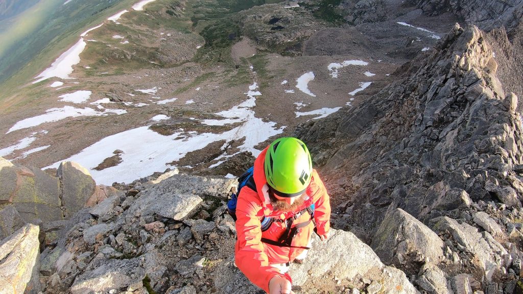
From the summit of Mt Bierstadt, navigate down to start the Sawtooth Ridge. The route is mostly class 2 to start and you can switch from staying ridge direct to a little to the hikers right side of the rocky terrain. Favoring the right (east) side of the ridge is likely the way to go as the left side can cliff out in several areas. Continue down the ridge until you eventually start gaining elevation and hit several class 3 sections including a headwall that can be traversed to the right. Admire Abyss Lake and eventually leave the Sawtooth Ridge by exiting a narrow path on the left side of the mountain. To continue to Mt Blue Sky, head east across the wide open field to the obvious standard trail.
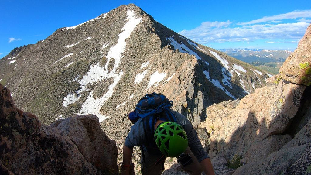
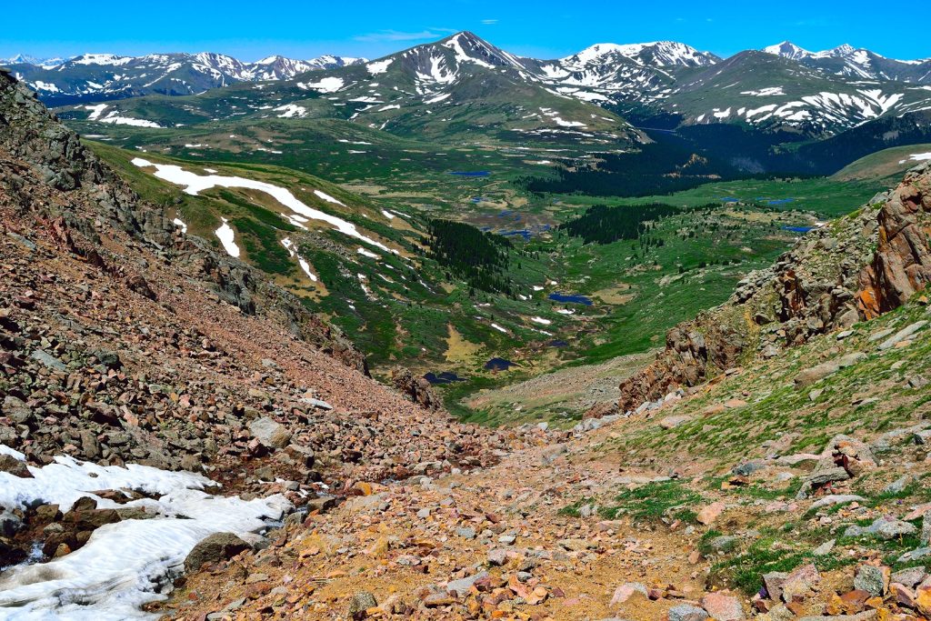
After The descent follows the Mt Blue Sky ridge line back to the large open field between Mt Bierstadt, Mt Blue Sky and Mt Spaulding, where the trail can be hard to find. Following the water source down into the gully reconnects with the trail and the gully turns very steep with loose gravel and small rocks before the willows begin and cover essentially the entire lower valley around Mt Bierstadt. This willows section is a true type 3 fun area with loads of mud, thick willows, pockets of water and a seemingly endless trail that also feels like it shouldn’t be as long as it is. Reconnect with the standard Mt Bierstadt trail to end the day.
Plan Your Hike
Best Season: The Sawtooth Ridge is usually accessible from Guanella Pass from Memorial Day through early November for the latest road status, please visit this page. If visiting earlier in the year, be prepared to deal with snow and have the proper gear and experience with avalanche terrain. To be honest, I would not recommend this ridge with any snow on it.
Check Weather: Sawtooth Ridge Weather Forecast
Camping: There are some dispersed camping options and campgrounds located on Guanella Pass including: Guanella Pass Campground, Geneva Park Campground, Burning Bear Campground and Clear Lake Campground. All of these campgrounds are seasonal and typically very popular.
Bathrooms: The parking area has a few public bathrooms but I would recommend bringing your own toilet paper.
Hazards: Route Finding, Loose Rock, Exposure, Lightning, Rockfall, Wildlife, Avalanche Terrain, Weather Exposure
Dog Description: I would leave your dog home for this one. Its too technical too steep, too much loose rock and unfortunately the Sawtooth Ridge has a history of dogs needing to be rescued.
Water Sources: There really are no good water sources on the Sawtooth Ridge with the exception of the start and end of the hike near the willows.
Drones: Drones are not allowed on the Sawtooth Ridge since the entire hike is in a Wilderness Area. Please always follow all drone regulations.
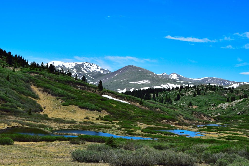
Hike Tip(s): You will absolutely want a perfect weather day to hike the Sawtooth Ridge, the entire hike is above treeline and completely exposed to high winds or any storms that might roll in. Additionally, warning you again to prepare for a terrible time in the willows. They are just not fun at all and really a horrible way to end this loop. Finally, the descent from Mt Blue Sky can be tricky to find, look for a water source and follow it down into the gully to reconnect with the trail, which essentially follows the snowmelt streams to the ponds below and into a larger river. Once in the willows, follow the trail as best as possible.
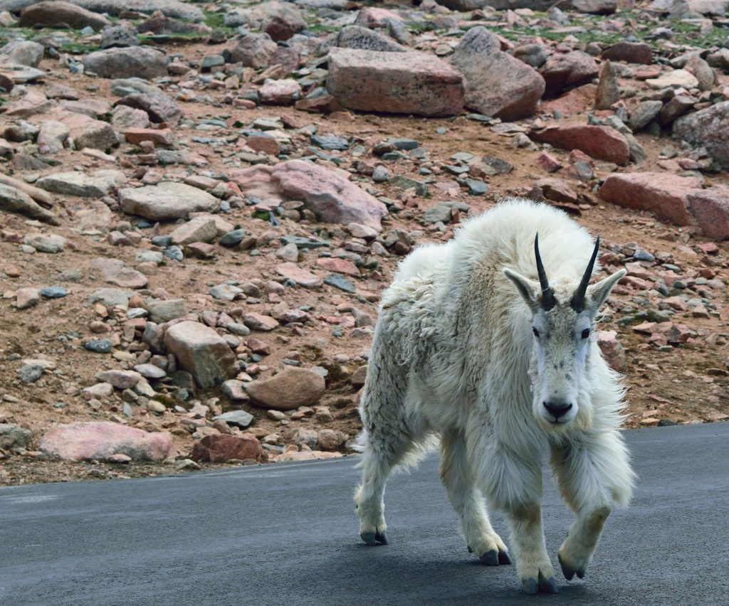
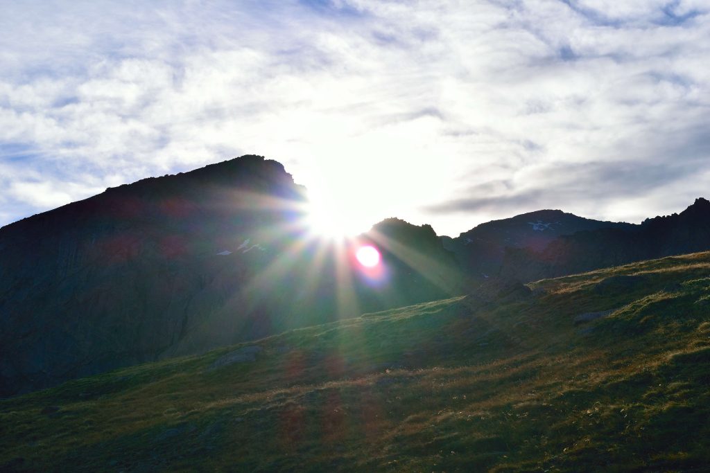
Best Views: Mt Bierstadt is a fantastic spot for photographing the sunrise and stars, since the wide open valleys around the peak offer great views of both. Arrive at the trailhead early and bring a tripod to photograph the stars or sunrise before the climb. The Mt Blue Sky and Mt Bierstadt loop is also a good opportunity to photograph the mountain goats that live in the surrounding area.
Primary Attractions: Summit Views, Alpine Lake, Ridgeline, Wildlife,
Required Gear
- Hoka Mafate 5 – My go to hiking shoes and trail runners
- La Sportiva Cyklon – Great for scrambling
- Osprey Talon 22 Backpack
- Sunglasses
- Running Hat
- Base Layers
- T Shirt
- Mid Layer / Sun Hoodie
- Rain Jacket / Shell – Black Diamond
- Mountain Hardwear Puffy Jacket
- REI Sahara Pants
- North Face Wander Shorts
- Socks
- Hiking Poles – 120CM
Seasonal Gear
Optional Gear
- Helmet
- Water Filter
- Garmin inReach
- Headlamp
- Garmin Fenix Watch
- UD Running Vest
- Osprey Running Vest
- Film Gear: GoPro, Joby Tripod, Selfie Stick, GoPro Max 2 , Drone, Insta360
- *Links included in this description might be affiliate links. If you purchase a product or service with the links that I provide I may receive a small commission. There is no additional charge to you.
4 thoughts on “Sawtooth Ridge Colorado 14er Hike Guide”
How sketchy is the exit of the sawtooth ridge? Haven’t been able to find a good video of the exit.
It is not too bad – just a loose rock fest – nothing super exposed or dangerous in terms of class though.
My friend and I are thinking about doing this hike in mid-July this year. I have class 3 experience (Longs Peak), but he does not (he’s only done the DeCaLiBron with me). He also does not have much experience with exposure. I was thinking that doing this hike with a guide or a group who has done it before could be helpful with the route finding. Do you have any advice on how to find guides or groups who might be planning this hike? Also, is the start of the Sawtooth from the top of Bierstadt obvious? Love your videos and trail guides!
Check out 14ers.com forum, people are often looking for partners there. I am sure there MAY be companies or individuals who guide this but I really dont think that is necessary. Do your homework, plan to hike on a good weather day, have a good plan of attack, prepare for a long day and go out and have an adventure. The best way to learn is to do so long as you go about it in a safe way.