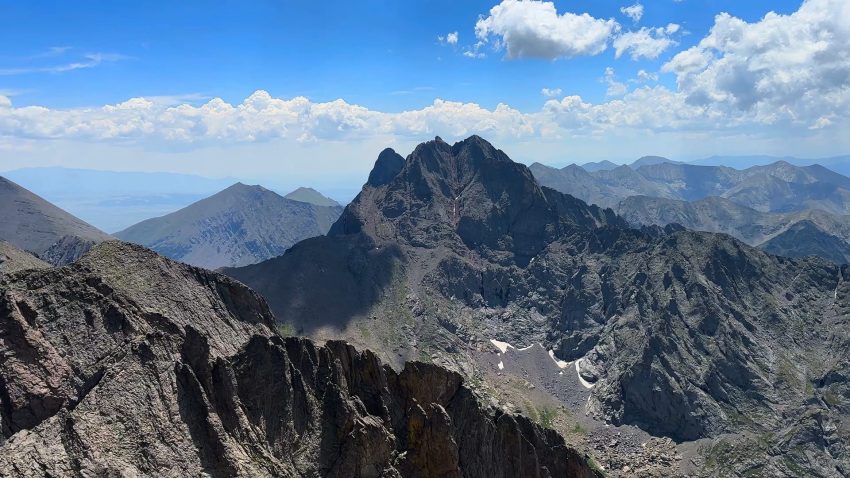
Crestone Peak 14er Hike Guide
Crestone Peak is a class 3 Colorado 14er located in the Sangre de Cristo Range of Southern Colorado. Commonly paired with neighboring 14er, Crestone Needle, this hike is most commonly approached from South Colony Lakes trailhead which requires a high clearance vehicle to get to the trailhead. This route has lots of route finding and elevation gain but most of the scramble up to this 14er is on fairly solid rock. In 2026, Crestone Peak was surveyed by an individual who deemed it no longer a 14er but no government or geological agency have confirmed these results so it remains one of Colorado’s 14ers for now.
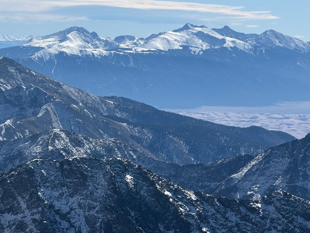
Crestone Peak Quick Facts
| Category | Details |
| Hike Rating | ★★★★★ 5/5 |
| Area | Sangre de Cristo Range, Colorado |
| Trailhead | South Colony Lakes |
| Distance | 13.5 Miles Total – 4×4 TH 19 Miles Total – Lower TH |
| Route Type | Out & Back |
| Elevation Start | 9,900ft – Upper TH 8,800ft – Lower TH |
| Highest Elevation | 14,299ft – Crestone Peak |
| Total Elevation Gain | 6,200ft – Upper TH 7,400ft – Lower TH |
| Estimated Time to Complete | 12-15 Hours Total |
| Difficulty | Hard – What does this mean? |
| YDS Class | Class 3 – What does this mean? |
| Exposure | Moderate |
| Best Season | July – September |
| Activity Type | Hiking, Scrambling, Backpacking |
| Crowds | Low |
| Dogs Allowed | No |
| Permit/Fee | No |
| Last Hiked Date | 9.2.17 |
Crestone Peak Route Map & GPX
The map below shows the route that I followed for this hike which was part of a bigger day on the Crestone Traverse. GPX files are available through a suggested donation of 3-5. Creating and maintaining hiking guides, videos and GPX files takes a tremendous amount of time. Your support helps keep The Virtual sherpa running, covers website hosting costs and allows me to continue creating free hiking content.
After making a donation, click the button below to send me an email with the hike name in the subject line. I’ll send the GPX file as soon as possible.
Button GPX File
Crestone Peak Directions & Parking
Protected Area Type: National Forest; Wilderness Area
Protected Area Name: San Isabel National Forest and Rio Grande National Forest; Sangre de Cristo Wilderness
Trailhead: Upper South Colony Lakes Trailhead, Lower South Colony Lakes Trailhead
Coordinates: 37.976573, -105.505
Driving Directions: From Westcliffe, Colorado navigate to the lower parking area which is on paved or well maintained dirt roads. Immediately after this point, the dirt road will get significantly more rough, requiring high clearance AWD or a 4WD vehicle and a good driver. The first mile after the lower trailhead is, generally speaking, the roughest but this will change year over year. Continue on another 2.5 miles to reach the upper trailhead where the road ends
Parking: There are two main lots for Crestone Peak the upper area and lower area. As mentioned above, the upper area requires higher clearance AWD or 4WD. The lower lot can fit about 15-20 cars and will fill up on busy weekends. The top lot can fit about 20 cars or so and will also get full on busier weekends.
Permits or Reservation/Fee Description: Crestone Peak does not require a permit or fee.
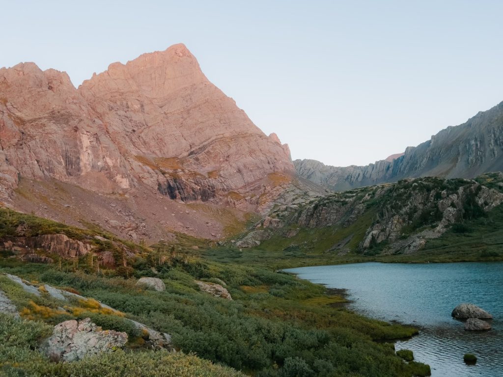
Crestone Peak Trail Overview
First, get to the upper trailhead which is about 3 miles from the lower one. The trail starts on the back left corner of the lot, crosses a creek and then continues up an old 4×4 road through forest for about 2.5 miles. Here, there is a trail split, left leads to Broken Hand Pass and the Crestones while right leads to South Colony Lakes, 13er Columbia Point and of course, Humboldt Peak. Continue away from the mountain before looping back closer to it, hiking over South Colony Lakes and eventually reaching the climb up Broken Hand Pass. This section of trail is extremely loose and rocky so be sure to wear a helmet and test all of your holds.
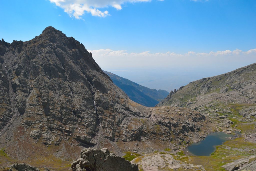
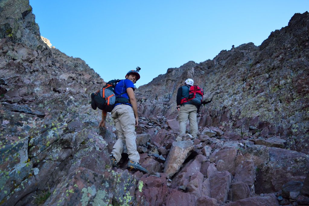
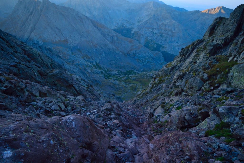
After you gain the pass, the trail splits again, straight down goes to Cottonwood Lake, Crestone Peak and right goes up the Crestone Needle. Head down and then start regaining elevation as you work up the northeast side of the mountain into the red gully, the standard route up Crestone Peak. The gully has some snow runoff, Class 3 scrambling and occasional loose rock. After gaining the ridge, head left to the summit of Crestone Peak. If you are looking to tag the summit of East Crestone Peak, you would head right on top of this gully to gain that “summit”. Retrace your steps back to the red gully and back down the mountain or start the Crestone Traverse if you were already planning on doing that. Get back to Broken Hand Pass and retrace your steps to your vehicle.
Plan Your Hike
Best Season: July through September is your best bet to hike Crestone Peak so that you have the ability to drive to the upper South Colony Lakes trailhead. Snow will likely block your route, adding mileage, outside of this window.
Check Weather: Crestone Peak Weather
Camping: There is a lot of camping for the Crestone Peak. The first spots are before the upper parking area along the road between the lower and upper trailheads. There are also scattered spots at the upper parking area and along the trail to the South Colony Lakes. Once at the lower South Colony Lake, this is by far the most popular spot to camp near the mountain itself if you are looking to make this a multiday trip. PLEASE take care of this area and follow all wilderness area camping rules. Even on busy weekends (Labor Day, 4th of July etc.) there still should be plenty of room up here to camp, but get there early because it will get crowded. If you really wanted to, you could bring your gear up and over Broken Hand Pass and camp near Cottonwood Lake as well.
Bathrooms: Neither parking area has a bathroom.
Hazards: Route Finding, Loose Rock, Exposure, Lightning, Water Crossing, Rockfall, Weather Exposure
Dog Description: For 99% of dogs, I would leave them at home for Crestone Peak. There might be some who could scramble up Crestone Peak but the true danger on this route is Broken Hand Pass which has lots of loose rock and terrain.
Water Sources: Water can be pumped at South Colony Lake and your last chance to refill before the traverse, Cottonwood Lake.
Drones: Crestone Peak is not a drone friendly hike as drones are not allowed in any US Wilderness areas. Please always follow all drone regulations.
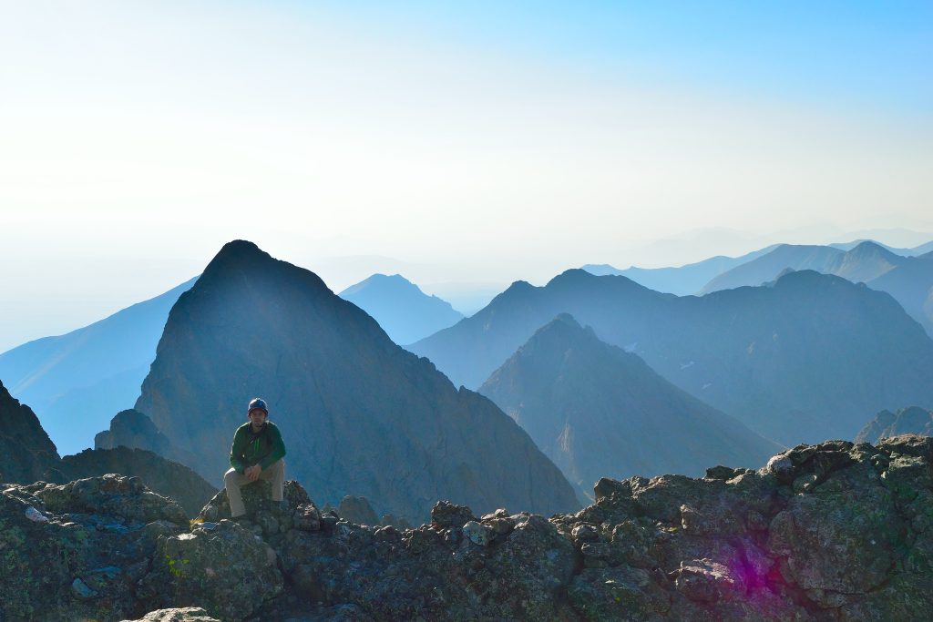
Hike Tip(s): Whether or not you are subscribing to the recent resurvey of Crestone Peak, you might as well tag “East Crestone Peak” on your way up to the true summit. These two “mountains” have the same summit elevation and if you are really a stickler for standing on the true summit of a mountain, it’s likely worth the small amount of effort it takes to add this subpeak on.
Looking for an alternative approach to Crestone Peak? There is a trail that starts from the west side of the mountain from Cottonwood Creek. This approach is much longer and requires more route finding but you will likely have the trail to yourself.
Best Views: The Crestone Peak is full of photo opportunities, from South Colony Lakes to Broken Hand Pass to the summit, views are outstanding here. Pack weight matters on this route, so leave extra camera gear in the car.
Primary Attractions: Summit Views, Waterfall, Alpine Lake, Ridgeline, Wildflowers,
Gear Needed
New to 14ers? This is What to pack for a 14er day hike.
Required Gear
- Hoka Mafate 5 – My go to hiking shoes and trail runners
- La Sportiva Cyklon – Great for scrambling
- Osprey Talon 22 Backpack
- Sunglasses
- Running Hat
- Base Layers
- T Shirt
- Mid Layer / Sun Hoodie
- Rain Jacket / Shell – Black Diamond
- Mountain Hardwear Puffy Jacket
- REI Sahara Pants
- North Face Wander Shorts
- Socks
- Hiking Poles – 120CM
- Helmet
Seasonal Gear
Optional Gear
- Water Filter
- Garmin inReach
- Headlamp
- Garmin Fenix Watch
- UD Running Vest
- Osprey Running Vest
- Film Gear: GoPro, Joby Tripod, Selfie Stick, GoPro Max 2 , Drone, Insta360
- *Links included in this description might be affiliate links. If you purchase a product or service with the links that I provide I may receive a small commission. There is no additional charge to you.
More Hikes in the Area
- 14er Humboldt Peak
- Columbia Point – Previously a 13er Centennial, but recently removed from the list.
- 14er Crestone Needle
- Crestone Traverse