Humboldt Peak 14er Hike Guide
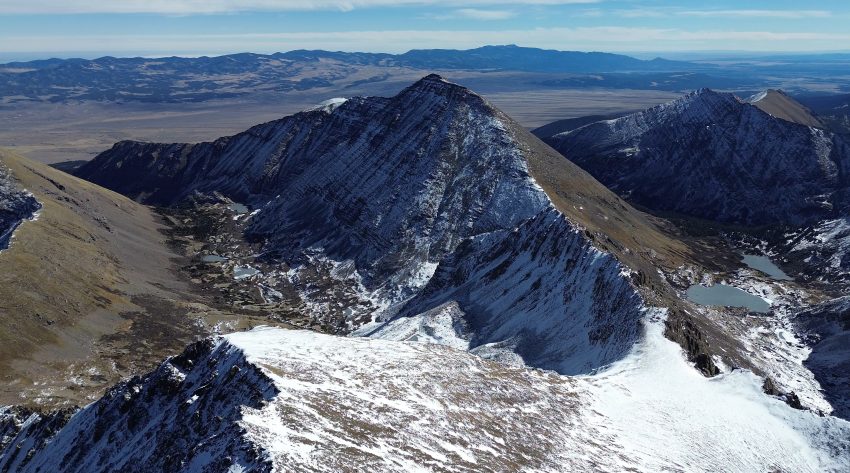
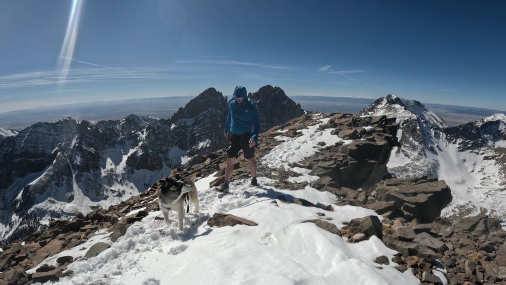
Humboldt Peak is a Class 2 14er located in the Sangre de Cristo Range of southern Colorado. The hike is fairly straightforward and a good 14er choice for beginner and intermediate hikers, with switchbacks and some minor rock scrambling over the last 1-2 miles. The bigger obstacle on Humboldt Peak may be getting to the trailhead which requires high clearance AWD or 4×4. Humboldt Peak can be hiked year round by taking the alternative east ridge route. The standard route passes by South Colony Lakes, in my opinion, one of the most beautiful basins in all of Colorado. Its common to pair Humboldt Peak with neighboring Crestone Needle and Crestone Peak over a longer overnight trip.
Humboldt Peak Quick Facts
| Category | Details |
| Hike Rating | ★★★★ (4/5) |
| Area | Sangre de Cristo Range, Colorado |
| Trailhead | South Colony Lakes |
| Distance | 10.5 Miles Total- Upper TH 16.25 Miles Total – Lower TH |
| Route Type | Out and Back |
| Elevation Start | 9,900ft – Upper TH 8,800ft – Lower TH |
| Highest Elevation | 14,064ft |
| Total Elevation Gain | 4,300ft – Upper TH 5,500ft – Lower TH |
| Estimated Time to Complete | 6-7 Hours (Upper TH) 10-12 Hours (Lower TH) |
| Difficulty | Difficult – Lower Trailhead Moderate – Upper Trailhead – What does this mean? |
| YDS Class | Class 2 – What does this mean? |
| Exposure | Low |
| Best Season | July – September |
| Activity Type | Hiking, Backpacking, Trail Running |
| Crowds | Moderate |
| Dogs Allowed | Yes |
| Permit/Fee | No |
| Last Hiked Date | 3.1.25 |
Alternative Routes Up Humboldt Peak:
- Humboldt Peak East Ridge – This is a option year round, but the most common approach for the winter season.
Humboldt Peak Virtual Trail Guide
In this virtual trail guide you’ll see the trailhead, route conditions, navigation tips, difficult sections, summit views, what to expect throughout the hike and of COURSE, my unique experience on this hike.
Humboldt Peak Route Map & GPX
The map below shows the route that I followed for this hike. GPX files are available through a suggested donation of $3-$5. Creating and maintaining hiking guides, videos and GPX files takes a tremendous amount of time. Your support helps keep The Virtual sherpa running, covers website hosting costs and allows me to continue creating free hiking content.
After making a donation, click the button below to send me an email with the hike name in the subject line. I’ll send the GPX file as soon as possible.
Humboldt Peak Directions & Parking
Protected Area Type: National Forest; Wilderness Area
Protected Area Name: San Isabel National Forest; Sangre de Cristo Wilderness
Trailhead: Upper South Colony Lakes Trailhead, Lower South Colony Lakes Trailhead
Coordinates: 37.976573, -105.505
Driving Directions: From Westcliffe, Colorado navigate to the lower parking area which is on paved or well maintained dirt roads. Immediately after this point, the dirt road will get significantly more rough, requiring high clearance AWD or a 4WD vehicle and a good driver. The first mile after the lower trailhead is, generally speaking, the roughest but this will change year over year. Continue on another 2.5 miles to reach the upper trailhead where the road ends.
Parking: There are two main lots for Humboldt Peak, the upper area and lower area. As mentioned above, the upper area requires higher clearance AWD or 4WD. The lower lot can fit about 15-20 cars and will fill up on busy weekends. The top lot can fit about 20 cars or so and will also get full on busier weekends. Neither area has a bathroom, so bring your TP + squatting stance and be sure to pack out all trash.
Permits or Reservation/Fee Description: Humboldt Peak does not require a reservation or any fee.
Humboldt Peak Trail Overview
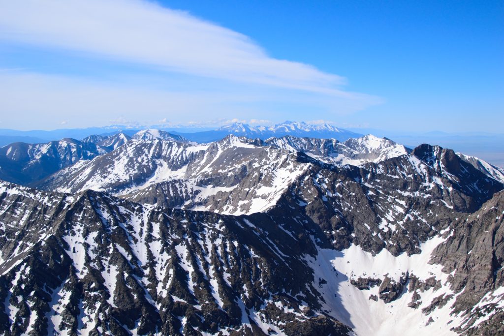
First, get to the upper trailhead which is about 3 miles from the lower one. The trail starts on the back left corner of the lot, crosses a creek and then continues up an old 4×4 road through forest for about 2.5 miles. Here, there is a trail split, left leads to Broken Hand Pass and the Crestones while right leads to South Colony Lakes, 13er Columbia Point and of course, Humboldt Peak. The route passes by both lower and upper South Colony lakes, slowly working through the willows that surround them both. After passing the last lake, hike up steep switchbacks to gain the saddle of Humboldt Peak.

From the saddle, the trail to the summit is steeper and can be tricky to follow in spots so take your time and be sure to have a hike .gpx to follow. Humboldt Peak does have a few false summits and a more exposed class 2 move near the top. Before the summit, the trail crosses a flat field, then reaches the true summit a few minutes later.
Plan Your Hike
Best Season: July through September is your best bet to have the ability to drive to the upper South Colony Lakes trailhead. Snow will likely block your route, adding mileage outside of this window. The lower trailhead is accessible year round but if you plan on hiking during the Winter, I do recommend the less snow filled and less avalanche prone East Ridge route.
Check Weather: Humboldt Peak Weather
Camping: There is a lot of camping for Humboldt Peak. The first spots are before the upper parking area along the road between the lower and upper trailheads. There are also scattered spots at the upper parking area and along the trail to the South Colony Lakes. Once at the lower South Colony Lake, this is by far the most popular spot to camp near the mountain itself if you are looking to make this a multiday trip. PLEASE take care of this area and follow all wilderness area camping rules. Even on busy weekends (Labor Day, 4th of July etc.) there still should be plenty of room up here to camp, but get there early because it will get crowded.
Bathrooms: Neither parking area has bathrooms.
Hazards: Route Finding, Weather Exposure, Loose Rock, Water Crossing, Wildlife
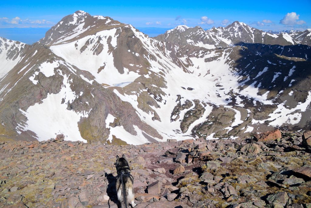
Dog Description: Humboldt Peak is dog friendly Colorado 14er for most experienced high alpine dogs. The the last half mile toward the summit can be tougher, with a few sections of rock scrambling that may be hard for a small or inexperienced dog. This entire hike is in a Wilderness Area which requires dogs to be leashed and of course, especially near the lakes, please pick up after your dog.
Water Sources: Humboldt Peak has great water sources until leaving the Upper Lake at which point there are no more sources to refill at.
Drones: Drones are not allowed in any US Wilderness Area so please leave yours at home for Humboldt Peak and as always, follow all drone regulations.
Hike Tip(s): Colorado is generally bug free for most of the year, but for a few weeks at the end of June and beginning of August, mosquitoes take over many alpine areas, especially ones with lots of water. The South Colony Basin is full of standing water that breeds thousands of them each year. If hiking during this period, bring lots of bug spray, bug nets and patience. If you do not have a high clearance vehicle and are looking to save some effort, especially on the way down, you can easily mountain bike most of the road.
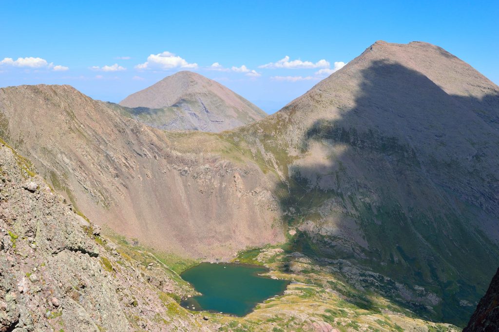
Best Views: The route passes the South Colony Lakes and Crestone Needle, rivaling the Maroon Bells as one of the most scenic 14er alpine lake views in the state. Generally speaking, the views from Humboldt Peak aren’t as good as some of the other Sangre de Cristo Range 14ers but still are phenomenal.
Primary Attractions: Summit Views, Waterfall, Alpine Lake, Wildflowers, Fall Colors,
Gear Needed
New to 14ers? This is What to pack for a 14er day hike.
Required Gear
- Hoka Mafate 5 – My go to hiking shoes and trail runners
- La Sportiva Cyklon – Great for scrambling
- Osprey Talon 22 Backpack
- Sunglasses
- Running Hat – Save 15% Using “DMRCMickey15”
- Base Layers
- T Shirt
- Mid Layer / Sun Hoodie
- Rain Jacket / Shell – Black Diamond
- Mountain Hardwear Puffy Jacket
- REI Sahara Pants
- North Face Wander Shorts
- Socks
- Hiking Poles – 120CM
Seasonal Gear
Optional Gear
- Helmet
- Water Filter
- Garmin inReach
- Headlamp
- Garmin Fenix Watch
- UD Running Vest
- Osprey Running Vest
- Film Gear: GoPro, Joby Tripod, Selfie Stick, GoPro Max 2 , Drone, Insta360
- *Links included in this description might be affiliate links. If you purchase a product or service with the links that I provide I may receive a small commission. There is no additional charge to you.
Dog Gear
More Hikes in the Area
- Crestone Traverse – combing both Crestone Needle + Crestone Peak in a Class 5, classic ridge scramble.
- 14er Crestone Needle
- Columbia Point – Previously a 13er Centennial, but recently removed from the list.
One thought on “Humboldt Peak 14er Hike Guide”