Rosalie Peak Colorado 13er Hike Guide
Rosalie Peak is a 13er and the 207th highest peak in Colorado at 13,575ft. This mountain is a prominent one located in the southern portion of Mt Evans Wilderness about an hour outside of Denver, Colorado. This mountain is named for Rosalie Bierstadt, wife of the famous painter of Western landscapes, Alfred Bierstadt. Fun fact: Mt Evans was originally named Mt Rosalie, but in 1895 its name was changed to honor Colorado’s 2nd governor – John Evans. This is a great hike to tackle from spring to shoulder season (mid to late November) in Colorado due to its relatively small amounts of snow, usually.
Rosalie Peak Quick Facts
Rosalie Peak Rating: ★★ ★ (⅗ Stars)
Distance: 11 Miles RT
Elevation Start: 9,327ft
Rosalie Peak Summit: 13,575ft
Total Elevation Gain: 4,390 ft
Estimated Time to Complete: 5-7 Hours RT
Difficulty: Hard What does this mean?
Class: Class 2 – What does this mean?
Season: May- November (expect snow outside of this period)
Directions to Rosalie Peak
Trailhead: Deer Creek
Getting Here: Take US-285 west or east, depending on your starting point, towards Pine Junction. 4.0 miles before/after Pine Junction turn right at a stop light and onto County Road 43A. From here, drive about 9 miles to the trailhead, 80% of which is on a paved road.. After 6.7 turn left at a Y junction and continue on.After another mile or so, the road turns to dirt but should be passable for most passenger vehicles. Pass the Deer Creek Campground near 8.0 miles and continue right 0.8 further to reach the trailhead. The last mile or so on the road is rougher but with good driving, any car should be able to reach the TH.
Parking: The large parking lot at the Deer Creek TH can fit easily 30-40 cars and will not usually come close to filling up. During leaf peeping season or a nice summer weekend there will be more cars in the lot, but in general – running out of parking will not be a problem here. There are no restrooms at the TH.
Fee: There is no fee for this hike as of 2021.
Summary
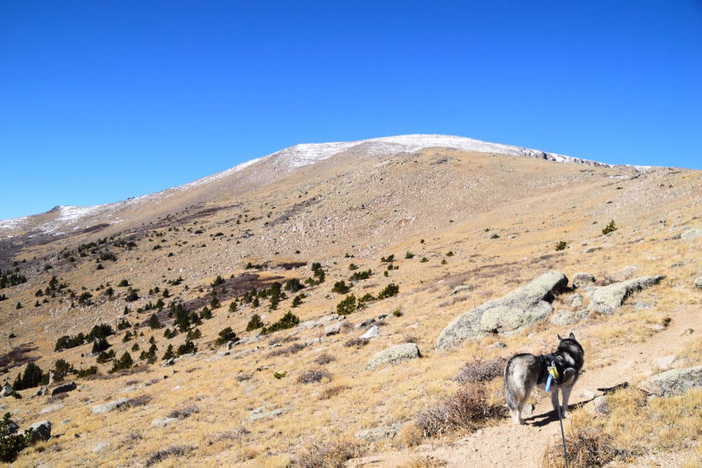
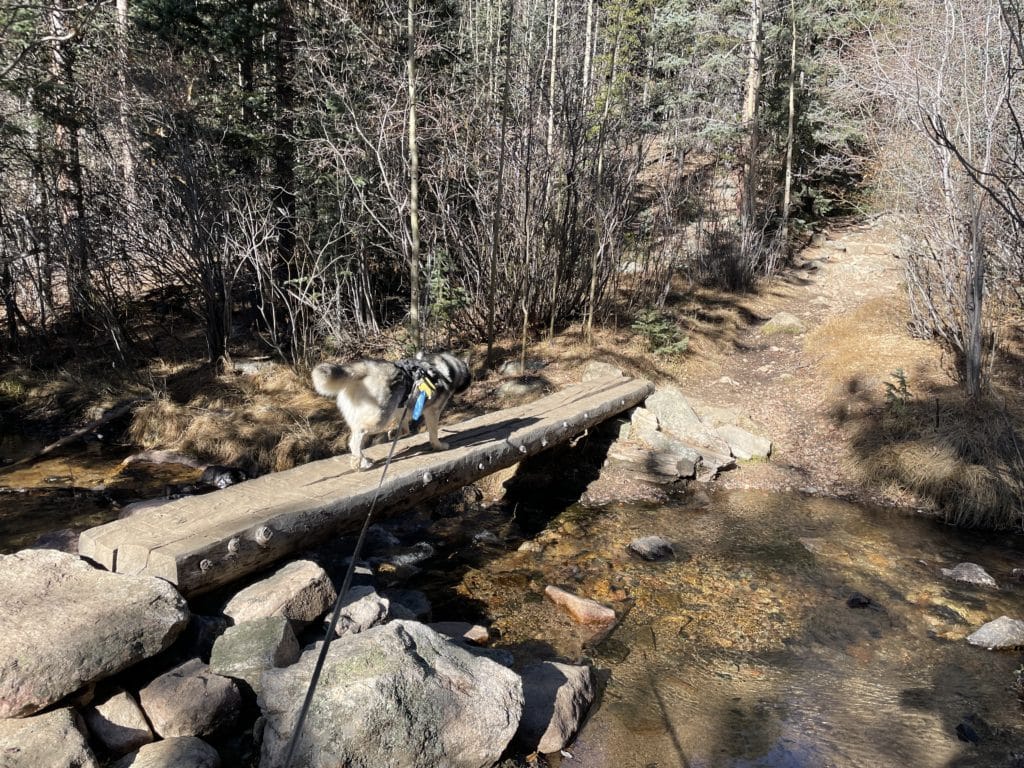
Dogs: Rosalie Peak is a dog friendly hike but as most of the trail is in the Mt Evans Wilderness, please keep your dogs on a leash.
Camping: If you want to camp on this hike, your best bets would be the following: some dispersed camping spots about .10 miles into the hike on the right next to the river or snagging a spot at Deer Creek Campground which is open late May through early September. Find out more information here.
Make it a Loop: This is an out and back hike but you could extend the hike a couple of ways. 1. By hiking to Epaulie and Epaulet Peaks, both which are sub-summits of Rosalie Peak and to the north of the true Summit. Alternatively, you can also add a short hike to visit the Roosevelt Lakes as well.
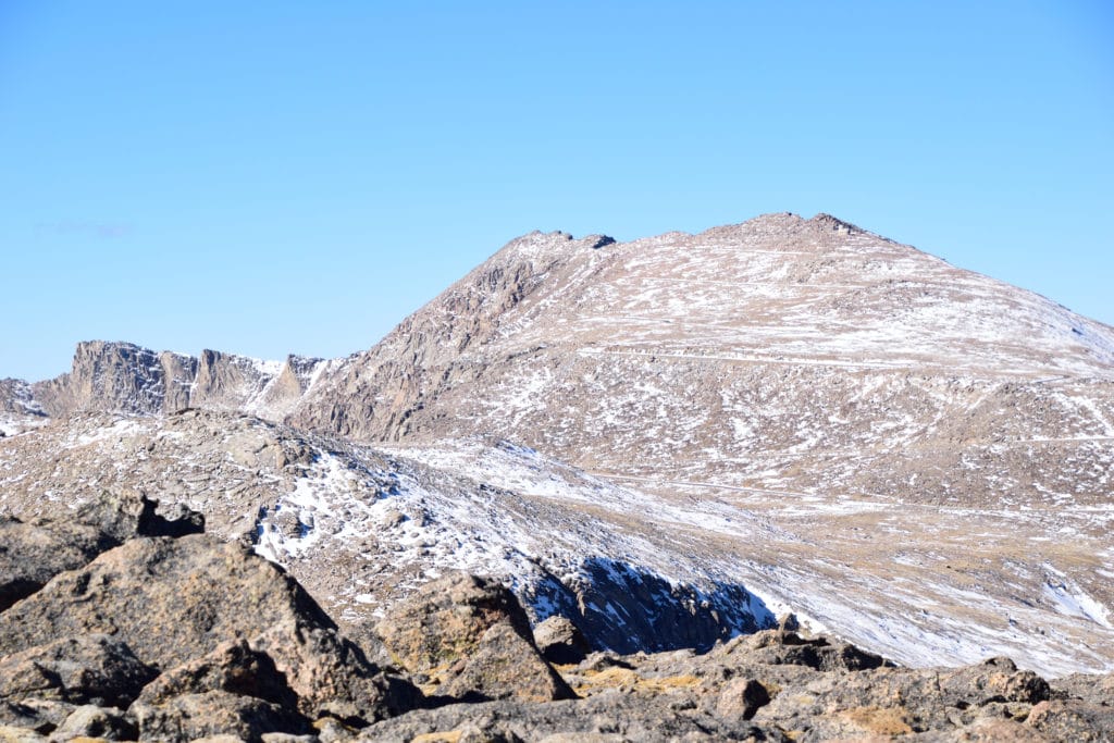
Trail X Factors: False Summits & Lack of Trail
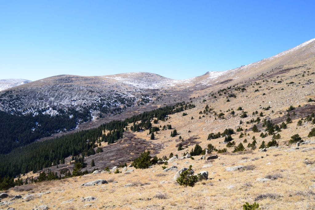
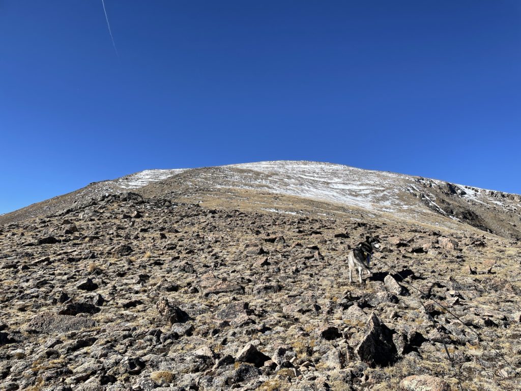
After you hike about 4 miles and gain the eastern shoulder of Rosalie Peak, you will now venture off trail. During most of the year when there is not snow, you can fairly easily follow a faint social trail which at least gives you a starting point on how to gain the summit. However, when hiking up these hills, you will hit at least 2-3 false summits which can be a real kick in the ass if you are not expecting them.
In general, not having a trail is not a huge issue, except when you leave the summit of Rosalie Peak to start your descent. It is very easy to head too far west (right) so be sure to depart the summit to the east (left) as you work your way back down to the trail.
Hike Tip(s): If you are looking for a great hike in Colorado shoulder season (late spring or late fall), look no further. Rosalie Peak tends to have relatively little snow which makes for a great option for those not looking to have a super technical snow hike. In fact, when I hiked Rosalie Peak it was early November and there was almost no snow on the mountain.
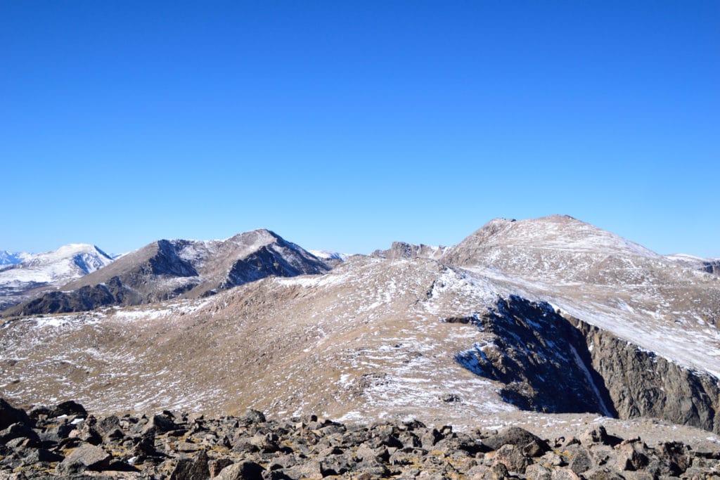
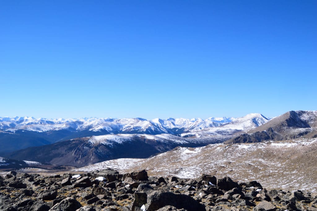
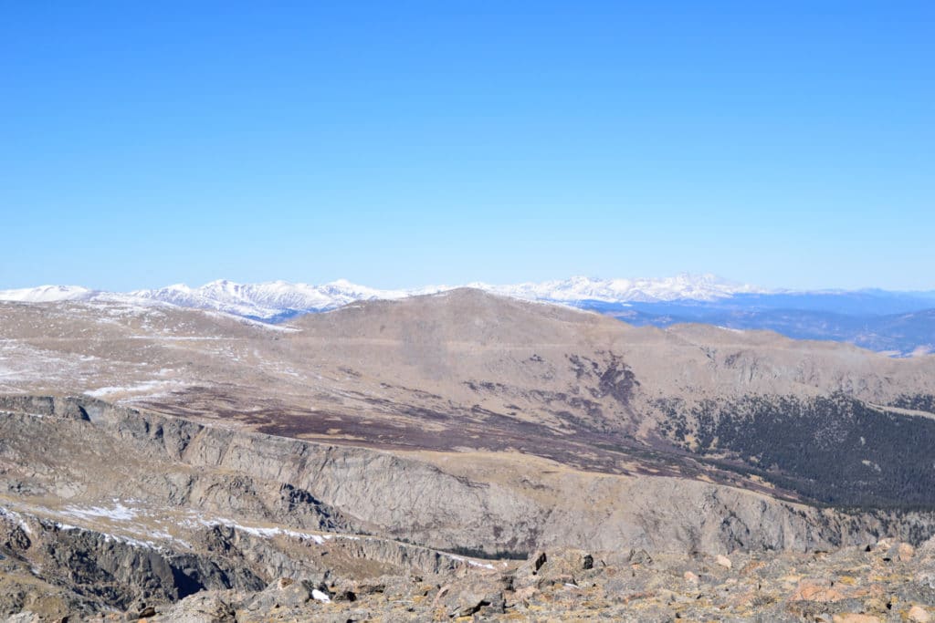
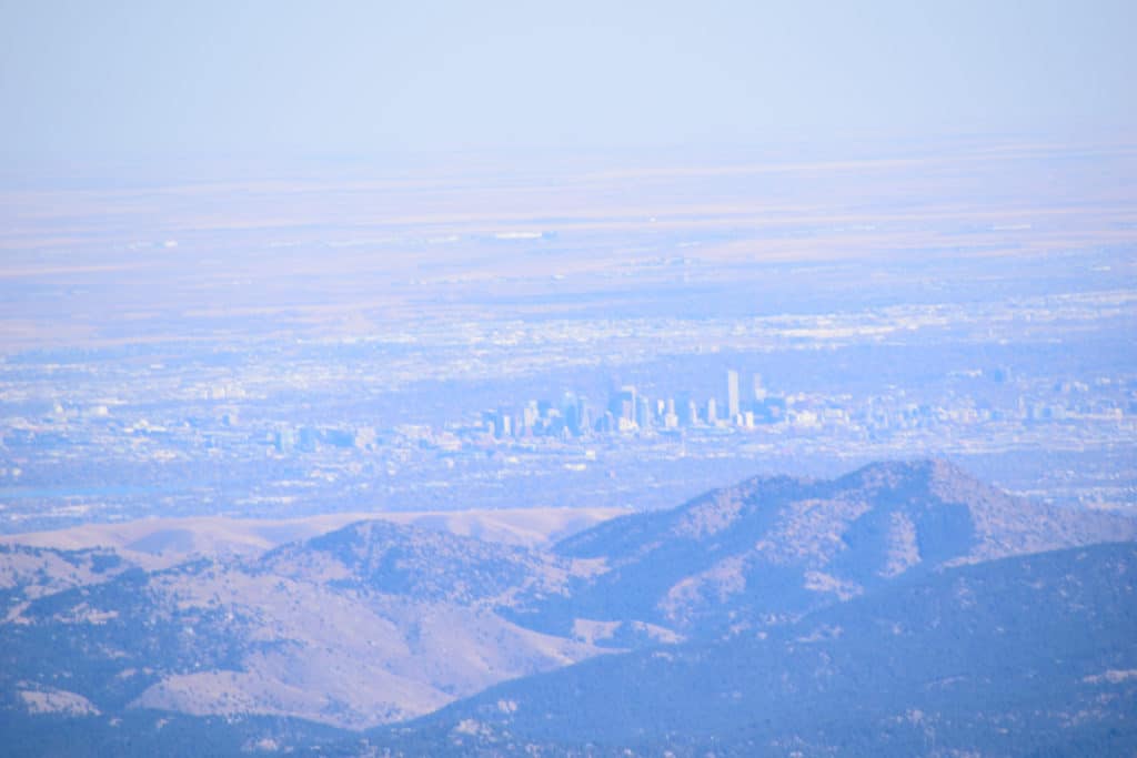
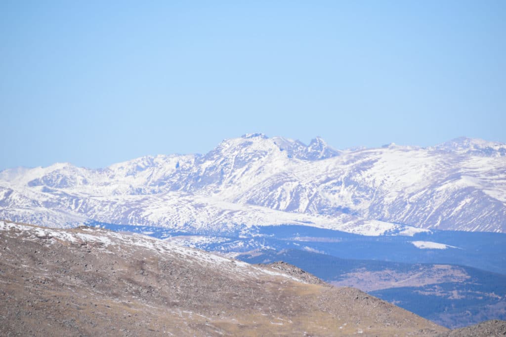
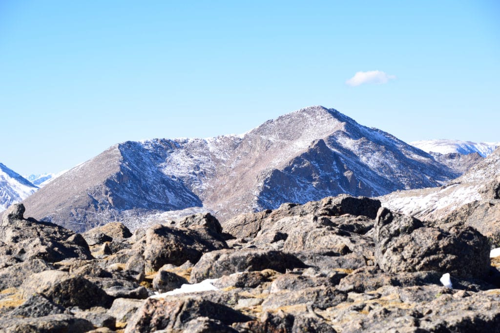
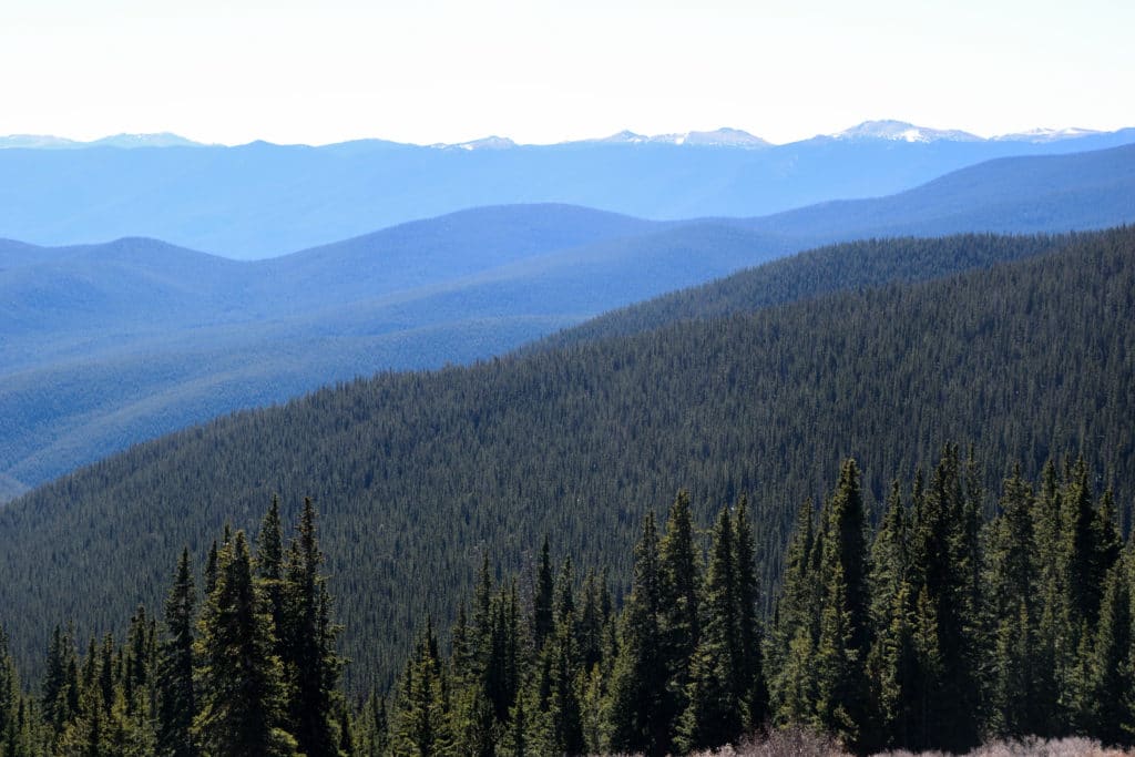
Best Views: This hike has great views after you leave tree line after about 3 miles of hiking. However, the higher your hike, the better the views get. On a clear day you can see over to the Collegiate Peaks, down to Pikes Peak and even down to the Sangre de Cristo Range over 100 miles away. Views to Denver and of course neighboring Mt Evans & Mt Bierstadt are also tremendous.
Rosalie Peak Hike Route
Gear Needed
- 14er Day Hike Packing List
- Men’s Trail Runners
- Women’s Trail Runners
- La Sportiva Trango Hiking Boots (Men’s)
- La Sportiva Trango Hiking Booths (Women’s)
- Backpack
- Food & Water
- Optional: Climbing Helmet
- Optional: Garmin inReach
- Optional: Hiking Poles
- Optional: Headlamp
- Optional: Garmin Fenix Watch
- Optional: Camera and Lens
- Optional: GoPro, Joby Tripod
- *Links included in this description might be affiliate links. If you purchase a product or service with the links that I provide I may receive a small commission. There is no additional charge to you.
My Trip to Rosalie Peak: November 2021
I really do not enjoy shoulder season in Colorado and I realize this with every passing season. It’s the one month out of the year that I am just not thrilled to get outside. However, if I sit at home all weekend, I drive Jackie bananas and usually just end up in crippling frustration and depression. I decided that I needed to find a hike that got Juno and I outside all day but didn’t require me hiking through sugar snow. Rosalie Peak seemed like the perfect option.
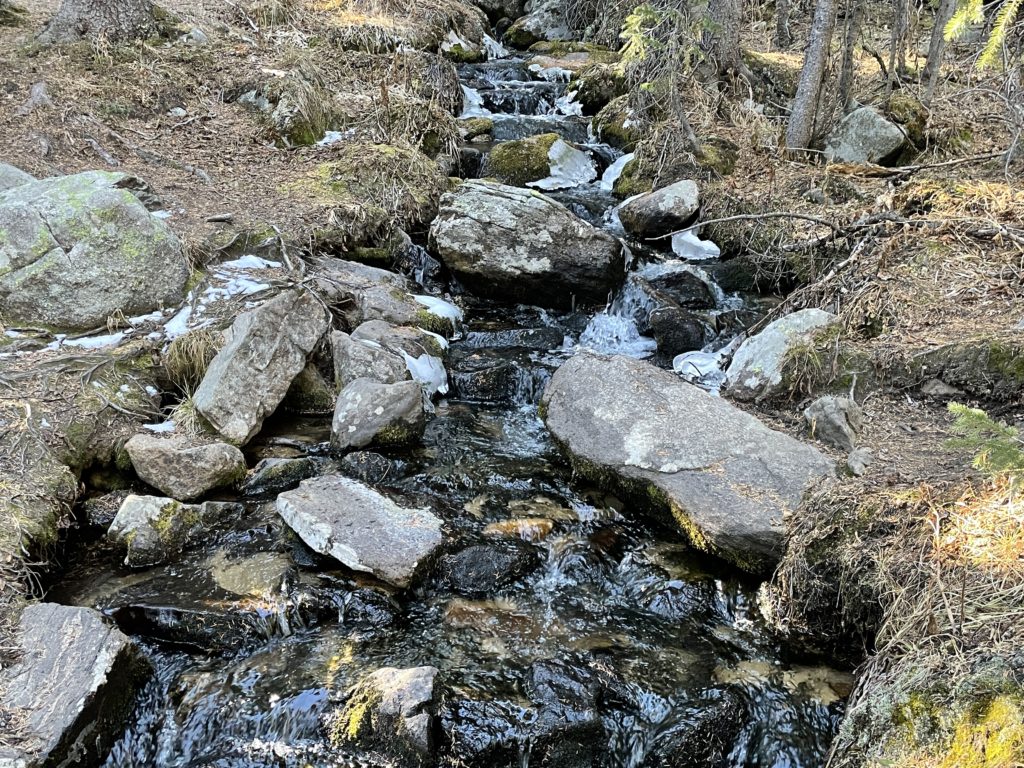
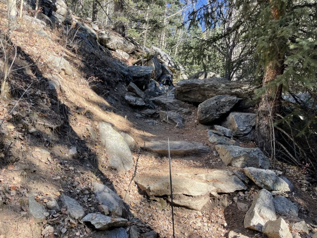
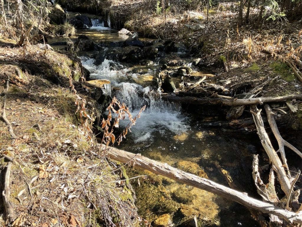
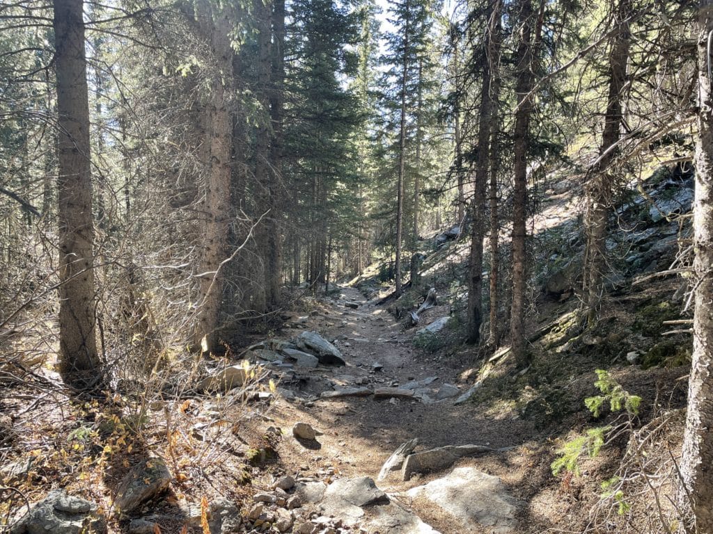
We arrived to the trailhead around 9AM for a leisurely late start and hiking in the breezy, yet warm, fall air. Jackie, Juno and I had hiked this area a few years back for Roosevelt Lakes so I was very familiar with the first four miles of this hike. The hike had relatively steady elevation gain following Deer Creek for the first three miles or so. Towards the shoulder we hiked up some steep switchbacks before finally breaking the tree line.
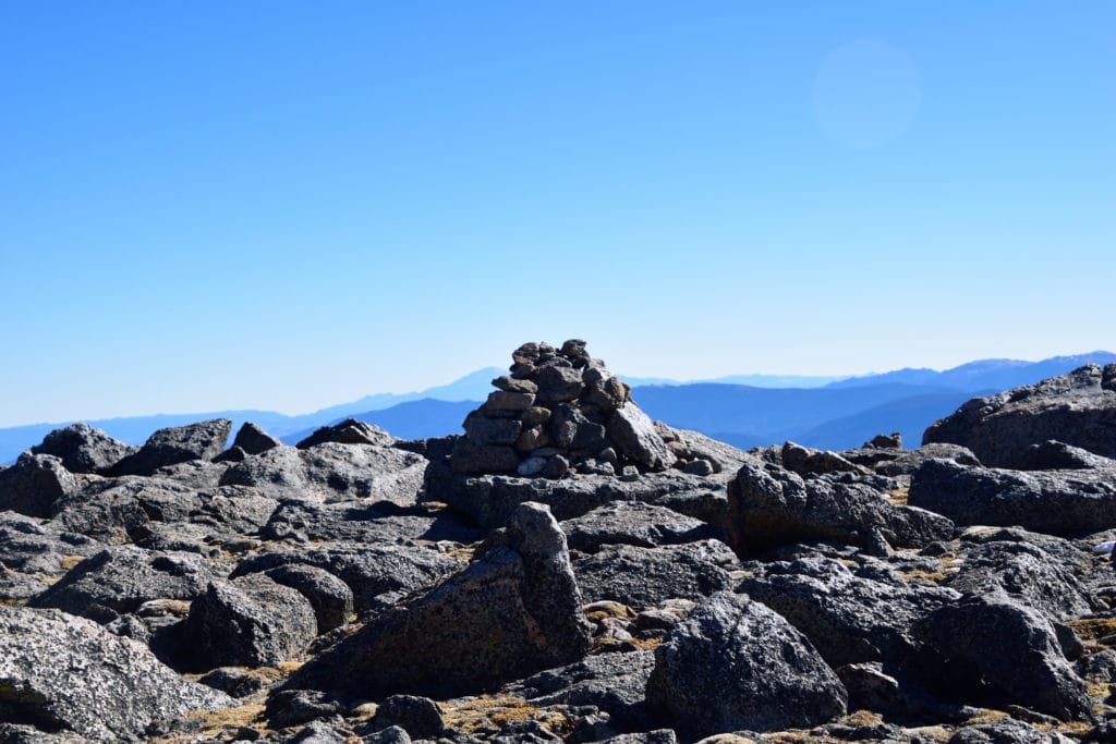
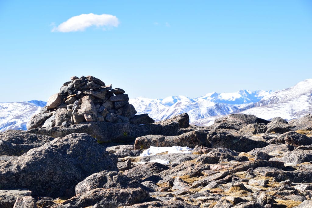
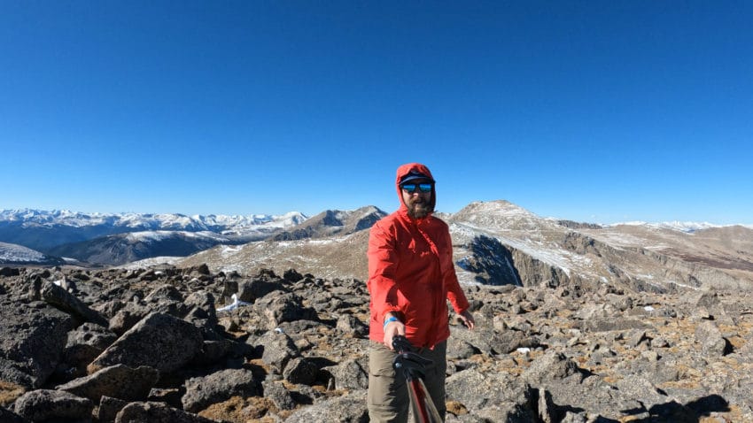
From this point, it was off trail hiking for the final mile or so to the summit of Rosalie Peak. However, it was pretty evident where to go. We headed left until reaching the final slopes were we bared right and slowly worked our way up the steep tundra. With each step the winds seemed to pick up and when Juno and I finally arrived on the summit of Rosalie, the winds were absolutely howling. With gusts in the 40mph range, it was not very pleasant. However, it was so beautiful, I found a small wind break and we had a snack and some water while soaking in the stunning views. I had never seen this angle of Mt Evans or Mt Bierstadt and it really was very cool.
Eventually, the winds pushed us off the summit and we made the quick hike back to the car. About 2 miles before the TH, my legs and mind were getting tired and I took a very wrong step which resulted in a rolled ankle. I was so frustrated but at least it was shoulder season so I didn’t have any big hiking plans for a while! I really enjoyed the hike up Rosalie Peak and would highly recommend this mountain for anyone looking for a less popular 13er in the Front Range of Colorado.