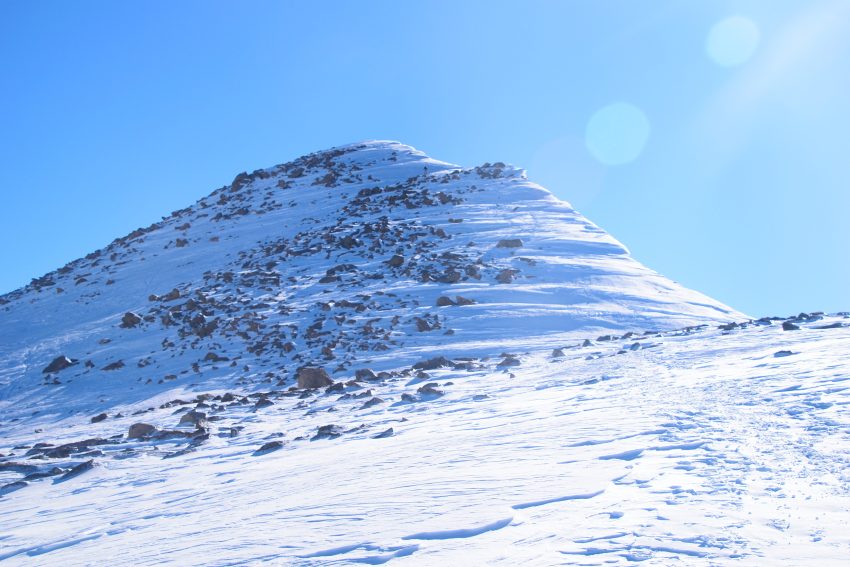
Mt Bierstadt Winter 14er Hike Trail Guide
A Mt Bierstadt Winter hike is more difficult than the easier summer version up to the 14,000ft summit. This popular Colorado 14er is accessed by a Guanella Pass gate closure from the Georgetown side during winter and spring months and is a great opportunity for an intermediate hiker looking to gain winter 14er experience. This route is longer than the summer version by about 4 miles but has relatively low avalanche risk and does not require loads of extra gear and experience like some winter 14ers do. This guide will cover everything needed to prepare for a safe trip up Mt Bierstadt in the winter.
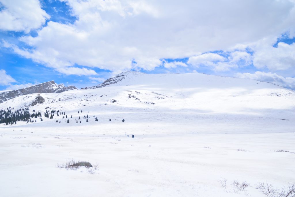
Mt Bierstadt Winter Quick Facts
| Category | Details |
| Hike Rating | ★★ (2/5) |
| Area | Front Range, Colorado |
| Trailhead | Guanella Pass |
| Distance | 11 Miles Total |
| Route Type | Out and Back |
| Elevation Start | 10,800ft |
| Highest Elevation | 14,066ft |
| Total Elevation Gain | 3,900ft |
| Estimated Time to Complete | 4-6 Hours Total |
| Difficulty | Moderate – What does this mean? |
| YDS Class | Class 2 – What does this mean? |
| Exposure | Low |
| Best Season | November – April |
| Activity Type | Hiking, Ski Mountaineering, Backcountry Snowboarding |
| Crowds | Low |
| Dogs Allowed | Yes |
| Permit/Fee | No |
| Last Hiked Date | 6.1.25 |
Alternative Routes Up Mt Bierstadt:
- Mt Bierstadt Standard Route
- Tour De Abyss – In my opinion, the best way to hike up Mt Bierstadt.
Mt Bierstadt Winter Virtual Trail Guide
I have hiked Mt Bierstadt many times and in this virtual trail guide you’ll see the trailhead, route conditions, navigation tips, difficult sections, summit views, what to expect throughout the hike and of COURSE, my tips to help you avoid crowds on this popular hike.
Mt Bierstadt Winter Route Map & GPX
The map below shows the route that I followed for this hike. GPX files are available through a suggested donation of $3-$5. Creating and maintaining hiking guides, videos and GPX files takes a tremendous amount of time. Your support helps keep The Virtual sherpa running, covers website hosting costs and allows me to continue creating free hiking content.
After making a donation, click the button below to send me an email with the hike name in the subject line. I’ll send the GPX file as soon as possible.
Mt Bierstadt Winter Directions & Parking
Protected Area Type: National Forest; Wilderness Area
Protected Area Name: Arapaho and Roosevelt National Forests; Mount Blue Sky Wilderness
Trailhead: Guanella Pass – note, you will not be able to drive past a gate closure about 2 miles from this trailhead.
Coordinates: 39.609580074374804, -105.71693955343225
Driving Directions: Mt Bierstadt Winter route is accessed via Guanella Pass where the road is closed about 2 miles from the summer trailhead. This road is paved but is open seasonally, for the latest road status, please visit this page.
Parking: Mt Bierstadt winter route has limited parking at the gated road closure for space for about 10 cars. However, you shouldn’t run into any issues with parking here as this is not a very popular hike during winter months.
Permits or Reservation/Fee Description: There is no fee or reservation required to hike Mt Bierstadt during the winter.
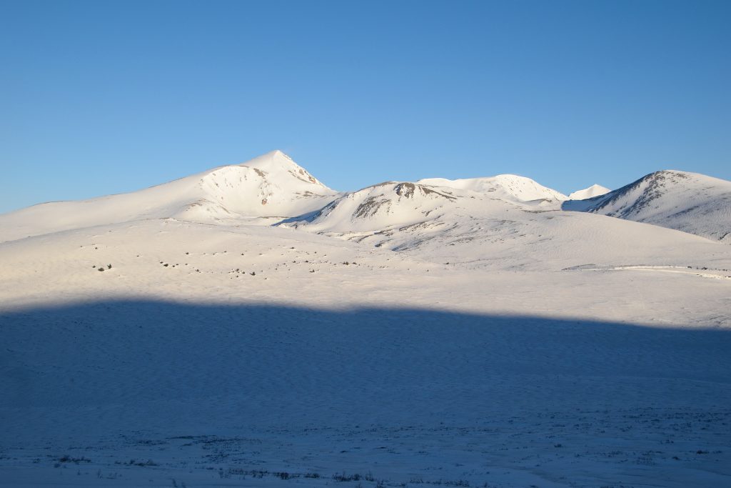
Mt Bierstadt Winter Trail Overview
From the Guanella Pass gate closure, walk the remaining 2 miles up the road to the summer trailhead. From here, follow the same general summer route, starting at the south end of the parking lot. Depending on snow level, find a direct path to the slopes to start ascending to the upper part of the Mt Bierstadt winter route.
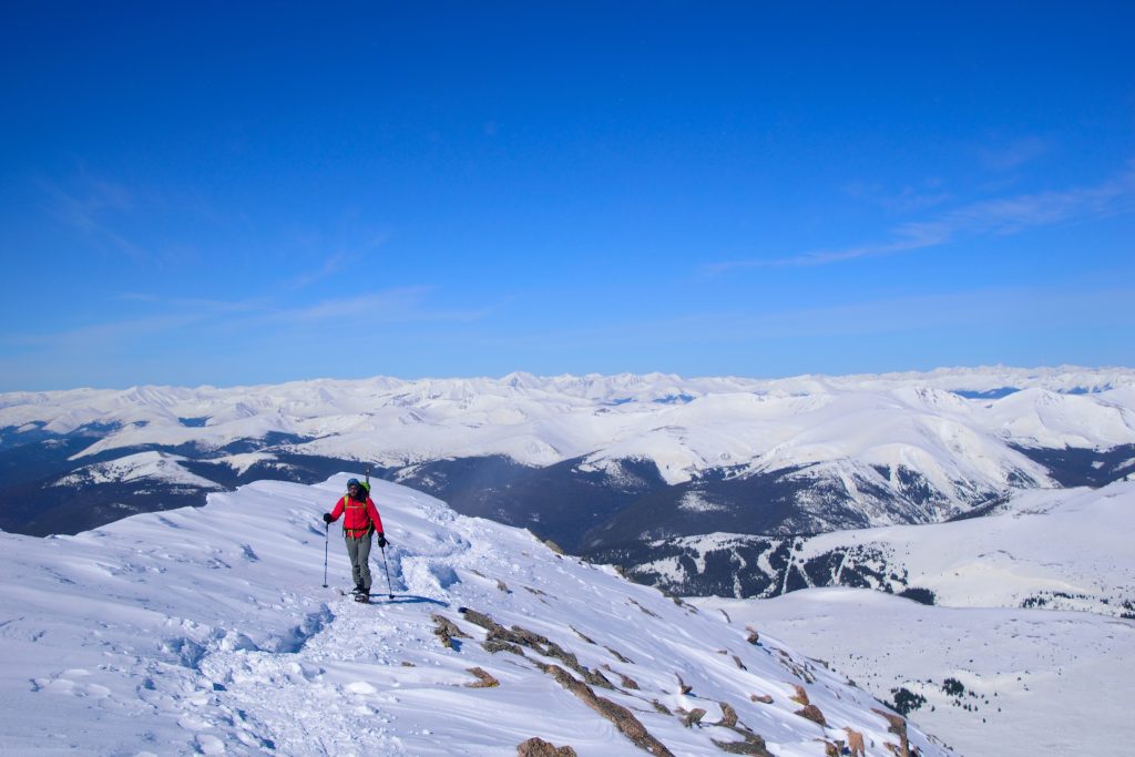
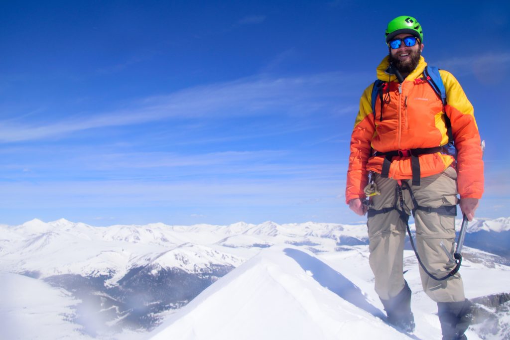
Snow conditions will likely dictate how you travel the next section of trail but generally speaking, follow the most direct route to the saddle of Mt Bierstadt, gaining a steady amount of elevation along the way. From there the trail gradually snakes up the west side of the mountain working through some minor Class 2 scrambling in a boulder field which can be tricky with snow conditions. Be careful of loose rock here and avoid the hikers right (south) side of the mountain as a cornice can form here. Eventually the elevation gain subsides and hikers arrive on the snow coated summit of Colorado 14er Mt Bierstadt.
Plan Your Hike
Best Season: Mt Bierstadt is usually accessible for a winter hike from early November through Memorial Day. For the latest road status, please visit this page. Technically speaking, a Mt Bierstadt winter hike counts as a successful summit December – March.
Check Weather: Mt Bierstadt Weather
Camping: Camping for Mt Bierstadt winter hike is essentially spending a night in your vehicle, there are no good spots to camp in the area as all of the campgrounds are seasonally closed.
Bathrooms: Do not plan on having a bathroom for a Mt Bierstadt winter hike.
Hazards: Route Finding, Weather Exposure, Avalanche Terrain
Avalanche Danger: A Mt Bierstadt winter hike presents an avalanche risk, even in spring months but the risk is fairly minimal. If you stick to the standard route and avoid the cornices near the summit, you can avoid a lot of avalanche terrain. Due to the complicated nature of the terrain, please understand the conditions and risks before heading out. Its recommended to read winter hiking tips and watch this high level avalanche awareness video at a bare minimum.
Dog Description: Dogs are allowed on this hike, but be extremely cautious of temperatures, wind conditions and snow levels. If your dog does not have high alpine winter 14er experience, its probably best to leave them at home.
Water Sources: There are no water sources for a Mt Bierstadt winter hike.
Drones: Drones are not allowed on Mt Bierstadt since the entire hike is in a Wilderness Area. Please always follow all drone regulations.
Hike Tip(s): Unlike its easier summer counterpart, a winter hike up Mt Bierstadt is a serious undertaking. This hike is prone to high winds, bone chilling temperatures and in some cases, avalanche terrain so having a basic understanding of winter hiking information is important. Be sure to pack an appropriate amount of layers, bring plenty of water, allow for plenty of time, have a route .gpx to follow and of course check the weather and avalanche conditions before heading out.
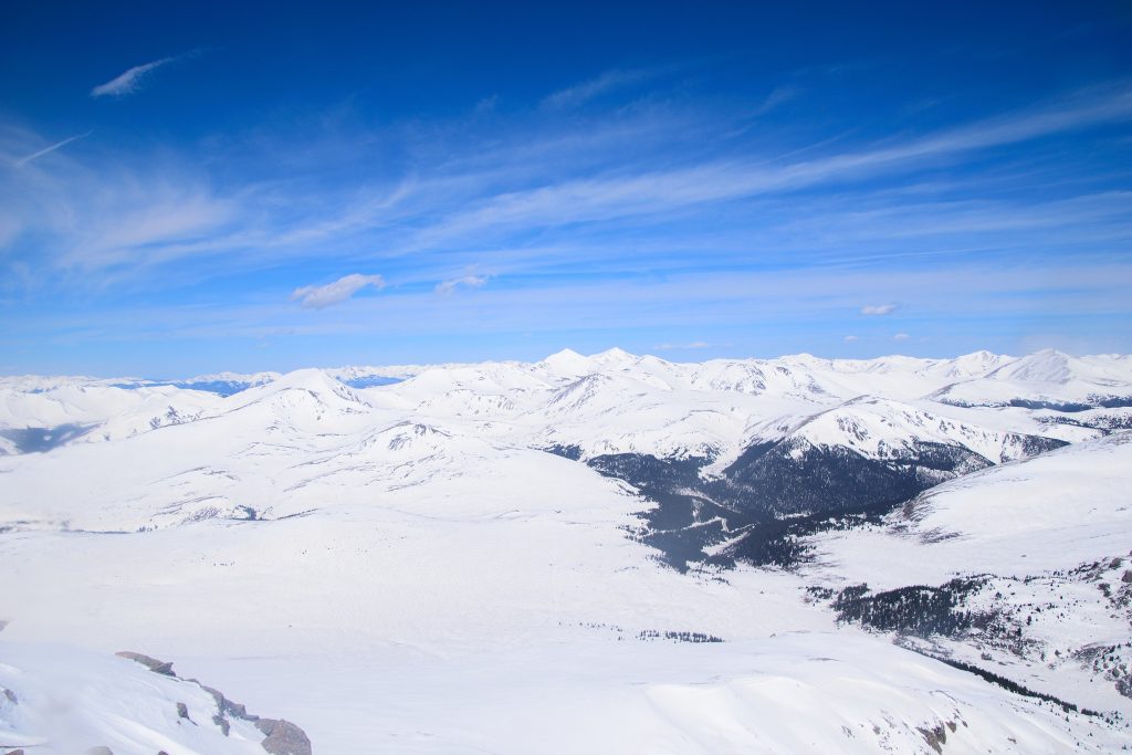
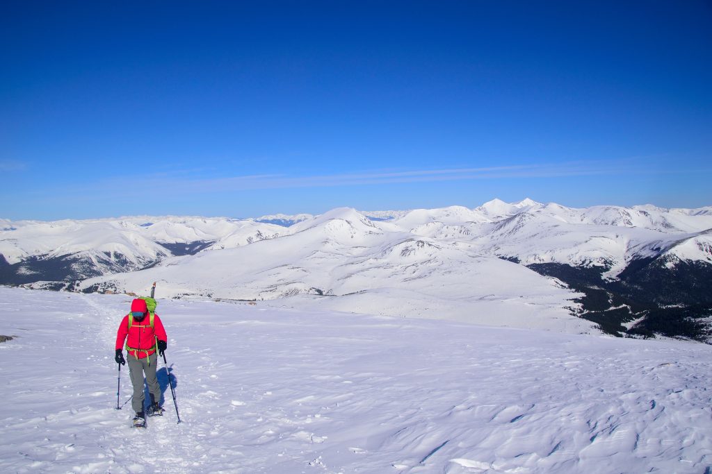
Best Views: Snow makes everything look good. A winter hike up Mt Bierstadt will likely make you feel like you are on Mt Everest vs a Colorado 14er less than 2 hours from Denver. This entire hike has stunning views in the winter months.
Primary Attractions: Summit Views, Solitude
Gear Needed
New to 14ers? This is What to pack for a 14er day hike.
Required Gear
- Winter Backpack Winter
- La Sportiva Trango Hiking Boots (Men’s)
- La Sportiva Mountaineering Boots
- Microspikes
- Gaiters
- Black Diamond Gloves
- Sunglasses
- Hat
- Base Layers
- T Shirt
- Mid Layer
- Rain Jacket/Shell
- Puffy Jacket
- Pants
- Snowpants
- Socks
- Hiking/SkiPoles
- Mountain Axe
- Petzl Irvis Hybrid Crampons
- Crampon Bag
Optional Gear
- Climbing Helmet
- Headlamp
- Garmin inReach
- Garmin Fenix Watch
- Water Filter
- Splitboard Boots: Deeluxe Spark
- Splitboard Boot Crampons
- Snowshoes
- Beacon
- Probe
- Shovel
- Splitboard
- Film Gear: GoPro, Joby Tripod, Selfie Stick, GoPro Max 2, Drone, Insta360
- *Links included in this description might be affiliate links. If you purchase a product or service with the links that I provide I may receive a small commission. There is no additional charge to you.
One thought on “Mt Bierstadt Winter 14er Hike Trail Guide”